Win Green Plantation

Wood, Forest in Dorset

England

Win Green Plantation

Diversion sign, B3081 This road was once familiar, a regular route to orienteering events in eastern Dorset and the New Forest. Today I was going to visit Ashmore for the first time as I was heading for a crossing of the Stour and the downs beyond.
Diversion sign, B3081 Credit: Richard Webb

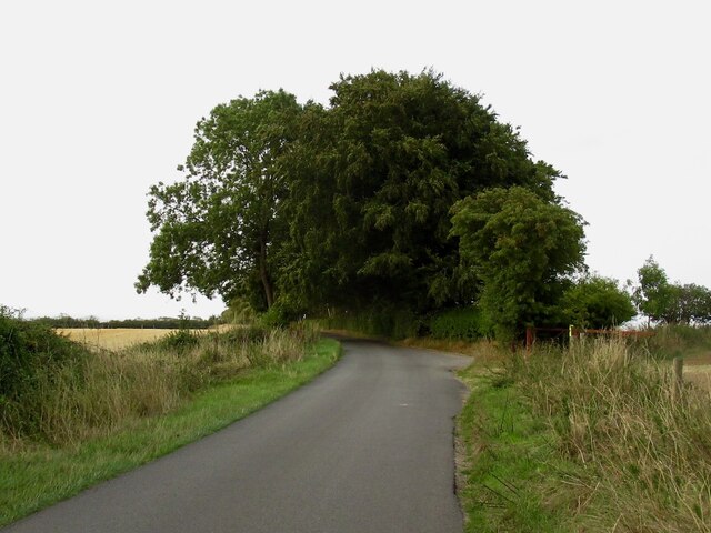
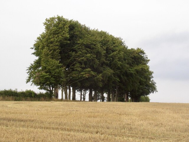
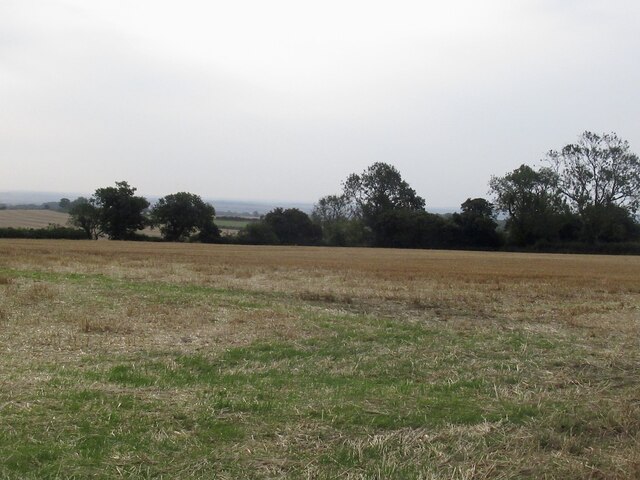
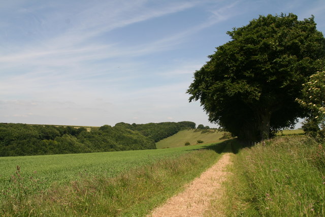
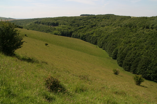
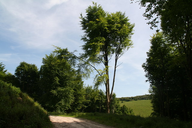
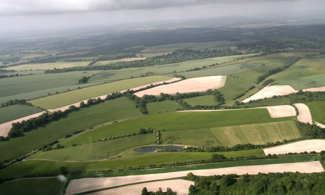
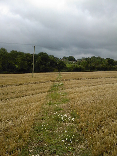
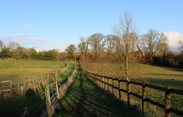
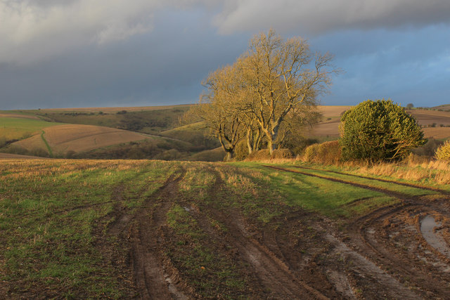
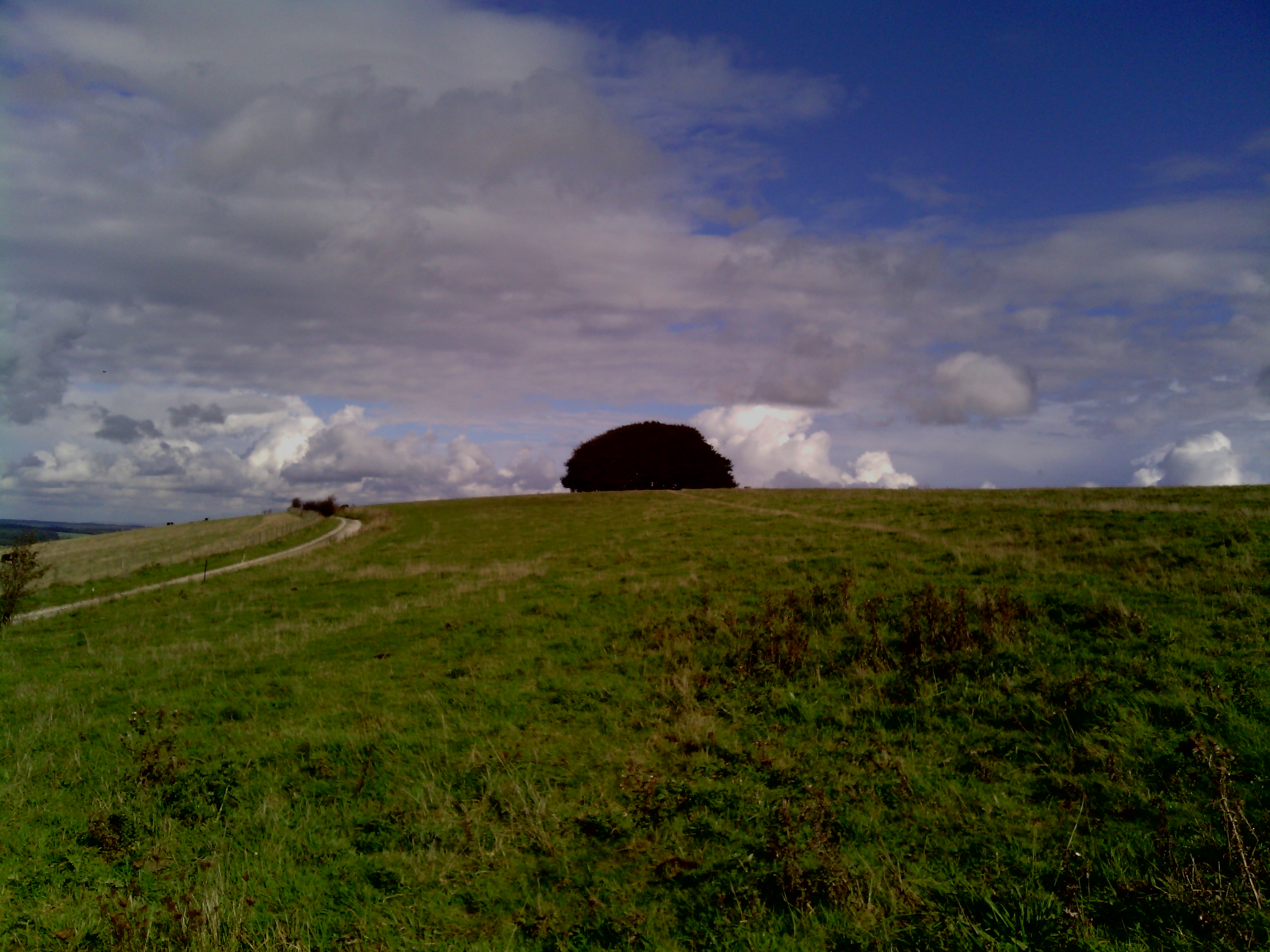
Win Green Plantation is a picturesque woodland located in Dorset, England. Spread over a vast area, this enchanting forest is known for its natural beauty and diverse flora and fauna. The plantation is situated on the slopes of Win Green Hill, the highest point in the county, offering breathtaking panoramic views of the surrounding countryside.

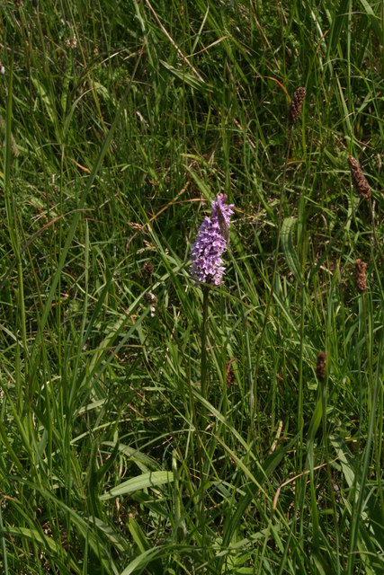
The woodland is primarily composed of native tree species such as oak, beech, and ash, creating a rich and vibrant ecosystem. The dense canopy provides a haven for a wide variety of wildlife, including deer, foxes, badgers, and numerous bird species. It is a popular destination for nature enthusiasts and birdwatchers, who come to witness the area's diverse avian population, including woodpeckers, owls, and warblers.

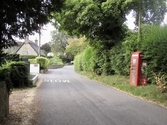
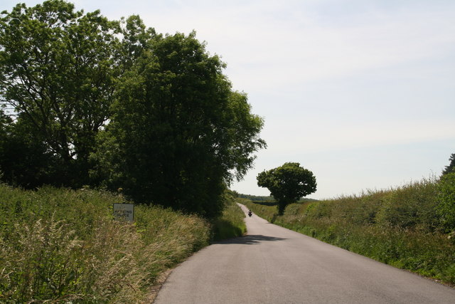
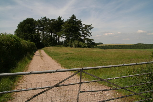
Win Green Plantation is also home to several walking trails that wind through the forest, allowing visitors to explore the area at their own pace. These paths vary in difficulty, catering to both casual walkers and more experienced hikers. Along the way, walkers can enjoy the serenity of the woodland and immerse themselves in its natural wonders.

The plantation is well-maintained, with designated picnic areas and benches strategically placed for visitors to rest and take in the stunning surroundings. The management ensures that the woodland remains accessible and preserves its natural beauty for future generations to enjoy.

Overall, Win Green Plantation is a captivating destination for those seeking tranquility and a connection with nature. Its remarkable views, diverse wildlife, and well-maintained trails make it a must-visit location for both locals and tourists alike.

If you have any feedback on the listing, please let us know in the comments section below.

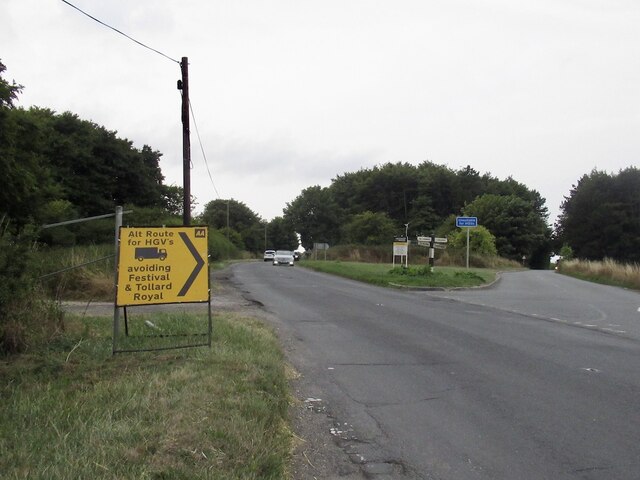
Win Green Plantation Images

Images are sourced within 2km of 50.977797/-2.122903 or Grid Reference ST9119. Thanks to Geograph Open Source API. All images are credited.

Diversion sign, B3081 This road was once familiar, a regular route to orienteering events in eastern Dorset and the New Forest. Today I was going to visit Ashmore for the first time as I was heading for a crossing of the Stour and the downs beyond.
Diversion sign, B3081
This road was once familiar, a regular route to orienteering events in eastern Dorset and the New Forest. Today I was going to visit Ashmore for the first time as I was heading for a crossing of the Stour and the downs beyond.
Appalling cruelty Funny lot at this end of the island.
Appalling cruelty
Funny lot at this end of the island.
North Road, Ashmore Down
Stubble, Ashmore Down
Dip slope, Ashmore Farmland off North Road.
Dip slope, Ashmore
Farmland off North Road.
Former telephone box, Ashmore Now carrying a defibrillator.
Former telephone box, Ashmore
Now carrying a defibrillator.
Road and track overlooking Melbury Wood
Melbury Wood and chalky down-land
Orchid on down above Melbury Wood
Track in Melbury Wood
Approaching Possessions Corner near Compton Abbas Airfield
Entrance to Hatts Barn near Compton Abbas Airfield
From Ashcombe Bottom to Quarry Bottom, across Hardy Way: aerial 2017
Path to Ashmore This dead-straight public footpath is part of the Wessex Ridgeway long-distance path. This field is in Wiltshire, the village in the background is in Dorset, and the county boundary runs through the narrow belt of trees in between.
Path to Ashmore
This dead-straight public footpath is part of the Wessex Ridgeway long-distance path. This field is in Wiltshire, the village in the background is in Dorset, and the county boundary runs through the narrow belt of trees in between.
Direction Sign - Signpost in Ashmore Annulus and bar finial - 1 arm; Dorset halo with NGR by the UC road, in parish of Ashmore (North Dorset District), Ashmore, North of village at South's Farm T-junction on verge.

Surveyed

Milestone Society National ID: DO_ST9118
Direction Sign - Signpost in Ashmore
Annulus and bar finial - 1 arm; Dorset halo with NGR by the UC road, in parish of Ashmore (North Dorset District), Ashmore, North of village at South's Farm T-junction on verge. Surveyed Milestone Society National ID: DO_ST9118
Direction Sign - Signpost, east of Ashmore Pyramid top finial - 1 arm; Wilts. wooden by the UC road, in parish of Tollard Royal (Salisbury District), Woodley Down, at crossroads with UC road to Ashmore, on verge, East side of road.

Surveyed

Milestone Society National ID: WI_ST9118
Direction Sign - Signpost, east of Ashmore
Pyramid top finial - 1 arm; Wilts. wooden by the UC road, in parish of Tollard Royal (Salisbury District), Woodley Down, at crossroads with UC road to Ashmore, on verge, East side of road. Surveyed Milestone Society National ID: WI_ST9118
Wessex Ridgeway leaving Ashmore Running between parallel fences the long distance footpath heads for the Dorset/Wiltshire county border at the hedge.
Wessex Ridgeway leaving Ashmore
Running between parallel fences the long distance footpath heads for the Dorset/Wiltshire county border at the hedge.
A View over Woodley Down As seen from the B3081
A View over Woodley Down
As seen from the B3081
Show me another place!

Win Green Plantation is located at Grid Ref: ST9119 (Lat: 50.977797, Lng: -2.122903)

Unitary Authority: Dorset

Police Authority: Dorset

What 3 Words

///mulls.correct.tolerates. Near Shaftesbury, Dorset

Related Wikis

Win Green Down

Win Green Down at grid reference ST927209 in south-western Wiltshire, England is a 26.0 hectares (64 acres) biological Site of Special Scientific Interest...

Breeze Hill

Breeze Hill is a prominent, largely treeless, rounded summit, 262 metres high, on the edge of Cranborne Chase about a mile east of the village of Melbury...

Melbury Down

Melbury Down is an area of downland in northern Dorset, England. It is owned by the National Trust. The chalk grassland here supports large butterfly populations...

Ashcombe House, Wiltshire

Ashcombe House, also known as Ashcombe Park, is a Georgian manor house, set in 1,134 acres (4.59 km2) of land on Cranborne Chase in the parish of Berwick...
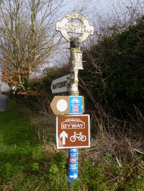
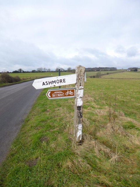
Ashmore

Ashmore is a village and civil parish in the North Dorset district of Dorset, England, 20 miles (32 kilometres) southwest of Salisbury. The village is...

Compton Abbas Airfield

Compton Abbas Airfield (IATA: n/a, ICAO: EGHA) is a grass airstrip 2.7 NM (5.0 km; 3.1 mi) south of Shaftesbury, Dorset, England. Compton Abbas Aerodrome...

Ludwell, Wiltshire

Ludwell is a small village in south Wiltshire, England, approximately 3 miles (5 km) east of the Dorset town of Shaftesbury. It lies within the Cranborne...

Ferne House

Ferne House is a country house in the parish of Donhead St Andrew in Wiltshire, England, owned by Viscount Rothermere.There has been a settlement on the...

Nearby Amenities

Located within 500m of 50.977797,-2.122903
Barrier: stile
Lat/Long: 50.9769411/-2.1220523
Parking
Lat/Long: 50.9812545/-2.1223544
The data included in this document is from www.openstreetmap.org. The data is made available under ODbL.

Have you been to Win Green Plantation?

Leave your review of Win Green Plantation below (or comments, questions and feedback).