Breach Plantation
Wood, Forest in Dorset
England
Breach Plantation
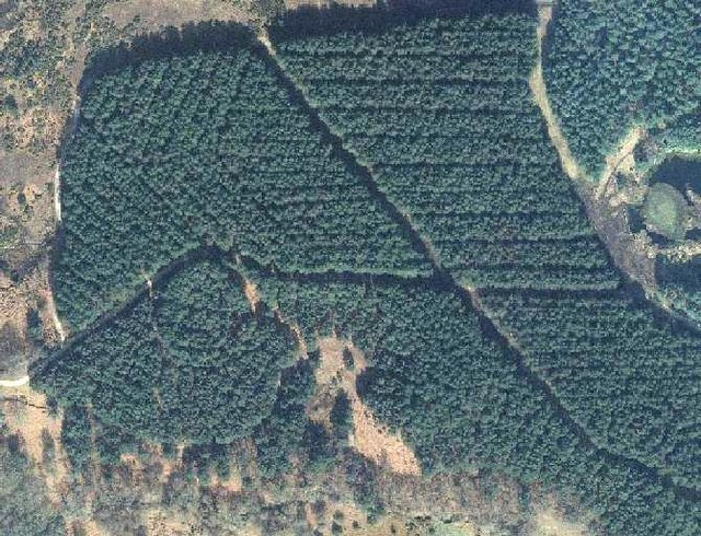
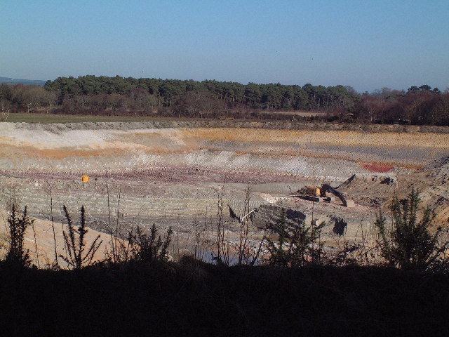
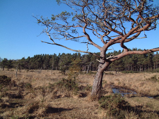
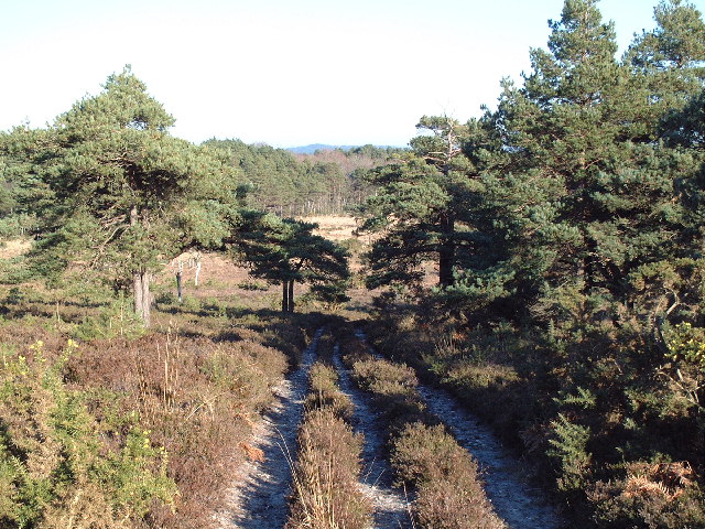
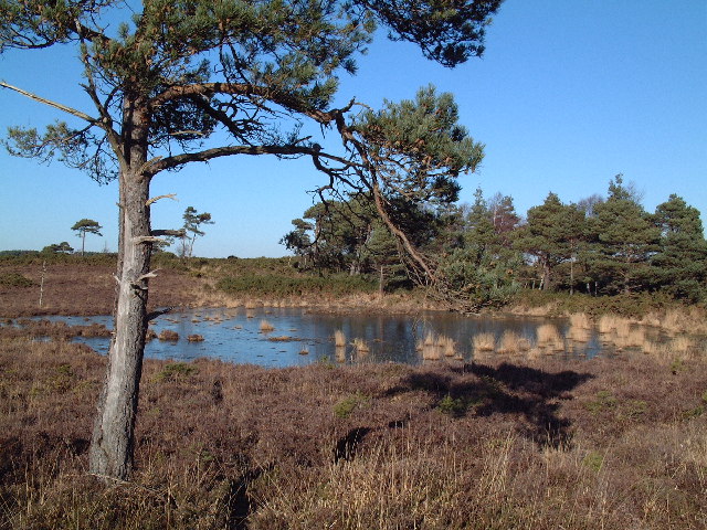
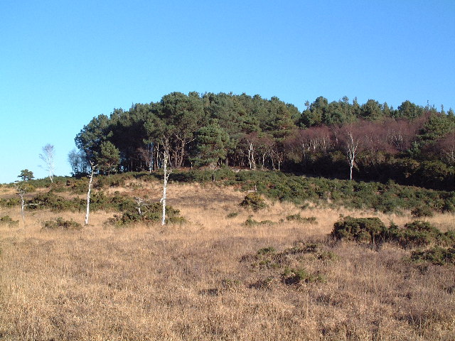
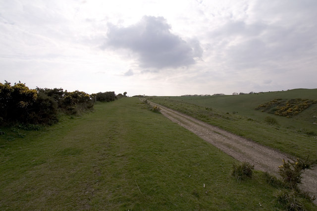
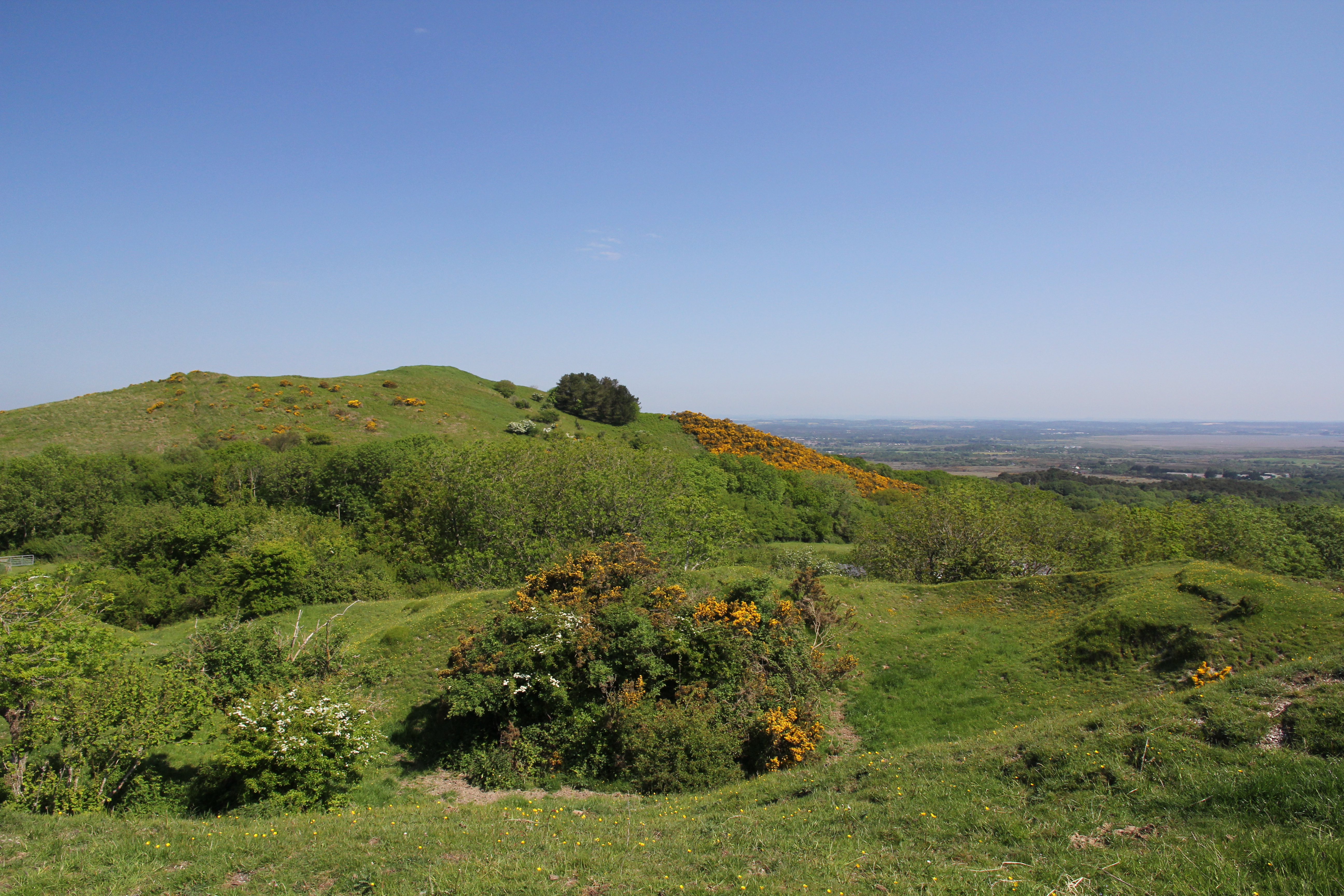
Breach Plantation, located in the county of Dorset, is a picturesque woodland area renowned for its natural beauty and rich biodiversity. Covering a vast expanse, the plantation is a haven for nature lovers and outdoor enthusiasts alike.
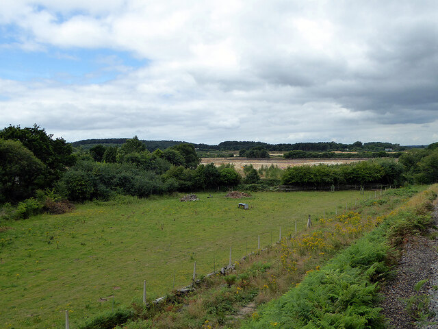
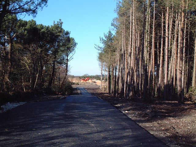
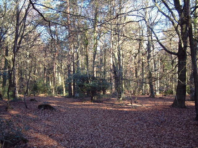
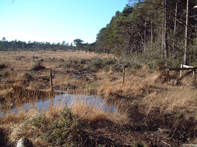
The plantation is characterized by its dense forest, dominated by a variety of tree species including oak, beech, and birch. These towering trees create a tranquil and serene atmosphere, perfect for those seeking solace in nature. The woodland floor is carpeted with a diverse range of flora, including bluebells, ferns, and mosses, adding to the plantation's enchanting charm.
Wildlife thrives within Breach Plantation, with numerous species calling it their home. Birdwatchers will be delighted to spot various avian species such as the great spotted woodpecker, tawny owl, and sparrowhawk, among others. The woodland also provides a habitat for small mammals like foxes, badgers, and squirrels, which can often be spotted darting through the undergrowth.
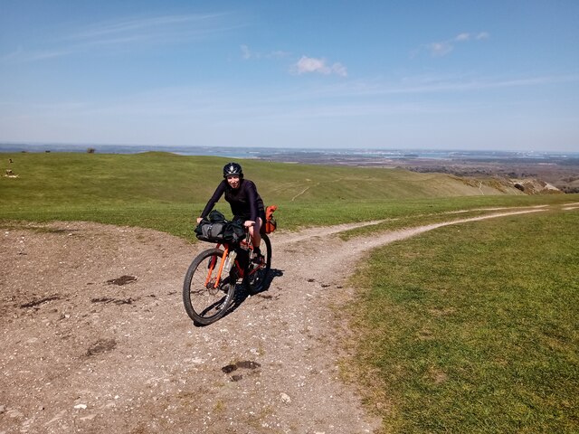
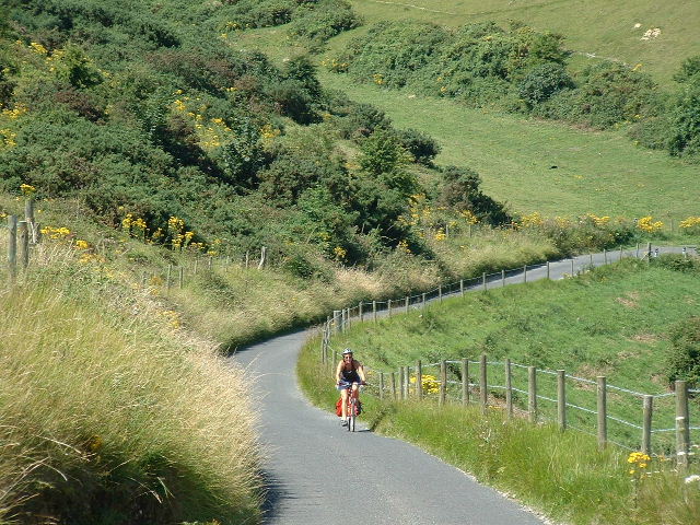
Breach Plantation offers a range of walking trails, allowing visitors to explore its natural wonders at their own pace. These trails provide an opportunity to immerse oneself in the tranquility of the woodland, while also providing access to viewpoints that offer breathtaking vistas of the surrounding countryside.
The plantation is managed by local authorities, who ensure its preservation and accessibility for the public. With its stunning natural scenery, diverse wildlife, and well-maintained walking trails, Breach Plantation is a must-visit destination for anyone seeking to reconnect with nature in the heart of Dorset.
If you have any feedback on the listing, please let us know in the comments section below.
Breach Plantation Images
Images are sourced within 2km of 50.648177/-2.1220109 or Grid Reference SY9183. Thanks to Geograph Open Source API. All images are credited.

Breach Plantation is located at Grid Ref: SY9183 (Lat: 50.648177, Lng: -2.1220109)
Unitary Authority: Dorset
Police Authority: Dorset
What 3 Words
///education.beefed.wake. Near Wareham, Dorset
Nearby Locations
Related Wikis

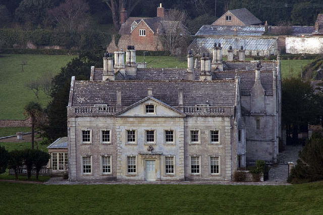
Creech Grange
Creech Grange is a country house in Steeple, south of Wareham in Dorset at the foot of the Purbeck Hills. Historic England designate it as a Grade I listed...
Creech Barrow Hill
Creech Barrow Hill is a steep, conical hill, 193 metres (633 ft) (one source 637 feet) high, near the coast of Dorset, England, and the highest point of...

Ridgeway Hill
Ridgeway Hill, also referred to as Grange Hill or Steeple Hill, is the third highest point of the Purbeck Hills in the county of Dorset standing at 199...

Grange Arch
Grange Arch, also known as Creech Folly, is an 18th-century folly that is located near the second highest point of the Purbeck Hills, Ridgeway Hill (199...

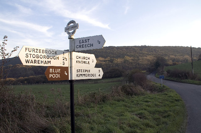
East Creech
East Creech is a hamlet in the parish of Church Knowle in the county of Dorset, England. East Creech lies at the northern foot of the Purbeck Hills about...

Stonehill Down Nature Reserve
The Stonehill Down Nature Reserve is a downland nature reserve on the Purbeck Hills in the county of Dorset, England. It is managed by the Dorset Wildlife...

Purbeck Hills
The Purbeck Hills, also called the Purbeck Ridge or simply the Purbecks, are a ridge of chalk downs in Dorset, England. It is formed by the structure known...

Furzebrook, Dorset
Furzebrook is a small village on the Isle of Purbeck, in the county of Dorset in the south of England. It is about 2 miles (3.2 km) south of Wareham and...
Nearby Amenities
Located within 500m of 50.648177,-2.1220109Have you been to Breach Plantation?
Leave your review of Breach Plantation below (or comments, questions and feedback).