Coven Heath Wood
Wood, Forest in Staffordshire South Staffordshire
England
Coven Heath Wood

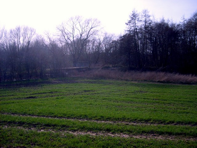
Coven Heath Wood is a woodland area located in Staffordshire, England. Covering an approximate area of 85 hectares, it is situated near the village of Coven, just northwest of Wolverhampton. The wood is part of the large heathland complex that extends across the region.
Coven Heath Wood is characterized by a diverse range of habitats, including ancient woodland, heathland, and wetland areas. The wood is predominantly composed of broadleaf trees, such as oak, birch, and ash, which provide a rich and varied habitat for numerous plant and animal species. These woodlands have been relatively undisturbed for centuries, and this long-established ecosystem contributes to its ecological importance.
The woodland is home to a variety of wildlife, with species like badgers, foxes, and deer frequently spotted within its boundaries. A wide array of bird species can also be found in Coven Heath Wood, including woodpeckers, owls, and various songbirds. The wood's proximity to wetland areas means it supports a diverse range of amphibians, such as frogs and newts, as well as a variety of insects.
Coven Heath Wood offers a tranquil environment for visitors, providing opportunities for nature walks, birdwatching, and exploring the local flora and fauna. The wood is managed by local authorities and conservation organizations to ensure its preservation and protection for future generations to enjoy.
If you have any feedback on the listing, please let us know in the comments section below.
Coven Heath Wood Images
Images are sourced within 2km of 52.646673/-2.1274495 or Grid Reference SJ9105. Thanks to Geograph Open Source API. All images are credited.


Coven Heath Wood is located at Grid Ref: SJ9105 (Lat: 52.646673, Lng: -2.1274495)
Administrative County: Staffordshire
District: South Staffordshire
Police Authority: Staffordshire
What 3 Words
///grabs.sketch.submit. Near Coven, Staffordshire
Nearby Locations
Related Wikis

Wolverhampton Casuals F.C.
Wolverhampton Casuals Football Club are a football club based in Featherstone, near Wolverhampton, England. Established in 1899, they are currently members...
Brinsford Parkway railway station
Brinsford Parkway is a proposed mainline railway station to the north of Wolverhampton, England. It has yet to be passed and is still in planning stages...

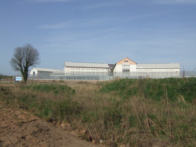
HM Prison Oakwood
HM Prison Oakwood is a Category C prison in Featherstone, Staffordshire, England. First opened in April 2012, the prison is operated by G4S and was primed...

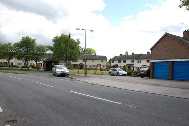
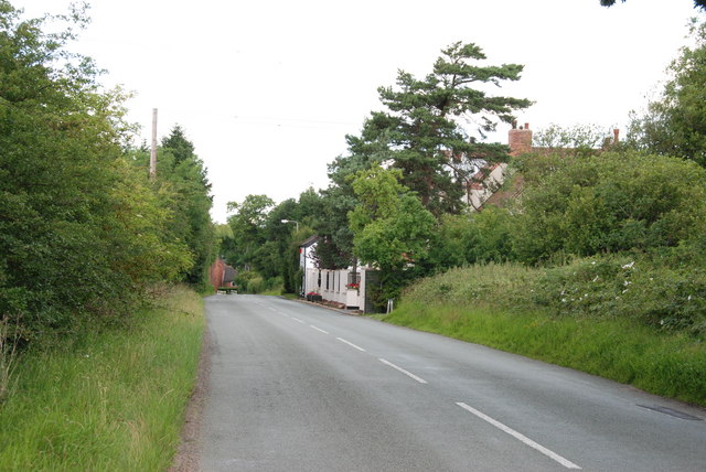
Coven, Staffordshire
Coven is a village in the district of South Staffordshire, England, near to the border with Wolverhampton. Together with Brewood it forms part of the...
HM Prison Featherstone
HM Prison Featherstone is a Category C men's prison, located in the village of Featherstone (near Wolverhampton), in Staffordshire, England. The prison...
HM Prison Brinsford
HMP & YOI Prison Brinsford is an adult male Category B & C prison and Young Offenders Institution (YOI), located in the village of Featherstone (near Wolverhampton...
St Paul's Church, Coven
St Paul's Church, Coven is a Grade II listed parish church in the Church of England in Coven, Staffordshire == History == The church was built in 1857...
Goodrich F.C.
Goodrich F.C. was a football club based in Wolverhampton, West Midlands, England. The team joined the West Midlands (Regional) League Division One North...
Related Videos


'Almost time too go home' - lovely day cruising Britain's canals - Day 6 of 7 of our Holiday
Today we went through Norbury junction, we went through Gnosall and Brewood. Our last night is spent moored up outside The ...

WHAT THE FUCK
veu made this abomination.

Double (bilateral knee replacement) February 2020 luckily pain free and walking again 👨🏻🦯❤️👍
Staple removal, operation and recovery tales on my road to walking without pain from arthritis. After being offered the chance of a ...
Nearby Amenities
Located within 500m of 52.646673,-2.1274495Have you been to Coven Heath Wood?
Leave your review of Coven Heath Wood below (or comments, questions and feedback).