Brinsford

Settlement in Staffordshire South Staffordshire

England

Brinsford

Hedge Stile The Footpath towards Lower Hattons.
Hedge Stile Credit: Gordon Griffiths

Brinsford is a small village located in the county of Staffordshire, England. Situated approximately 6 miles north of the city of Wolverhampton, Brinsford is nestled between the towns of Featherstone and Shareshill. The village is predominantly residential, with a population of around 1,000 people.

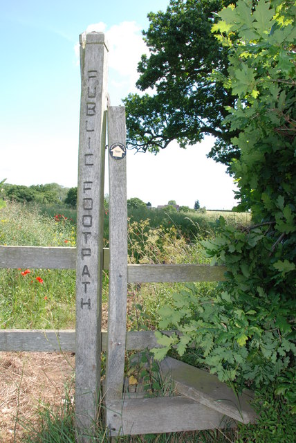
Brinsford is known for its picturesque countryside and peaceful atmosphere. The village is surrounded by lush green fields, providing a tranquil setting for its residents. The nearby Cannock Chase, an Area of Outstanding Natural Beauty, offers ample opportunities for outdoor activities such as walking, cycling, and wildlife spotting.

Despite its small size, Brinsford has a strong sense of community. The village has a local primary school, providing education for children in the area. There is also a village hall that serves as a hub for various community activities and events. Additionally, Brinsford benefits from excellent transport links, with easy access to the M6 and M54 motorways, connecting the village to nearby towns and cities.

Although Brinsford does not have its own shops or amenities, residents can find all the necessary facilities in the nearby towns. Wolverhampton offers a wide range of shopping, dining, and entertainment options, while Featherstone and Shareshill provide convenience stores and local services.

Overall, Brinsford offers a peaceful and idyllic lifestyle in the heart of the Staffordshire countryside, with the added benefit of being within easy reach of larger towns and cities.

If you have any feedback on the listing, please let us know in the comments section below.
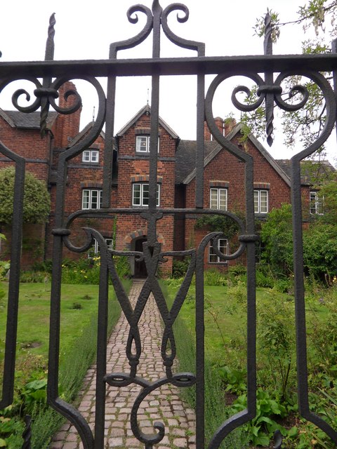
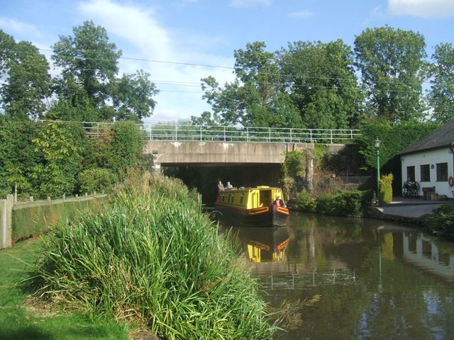
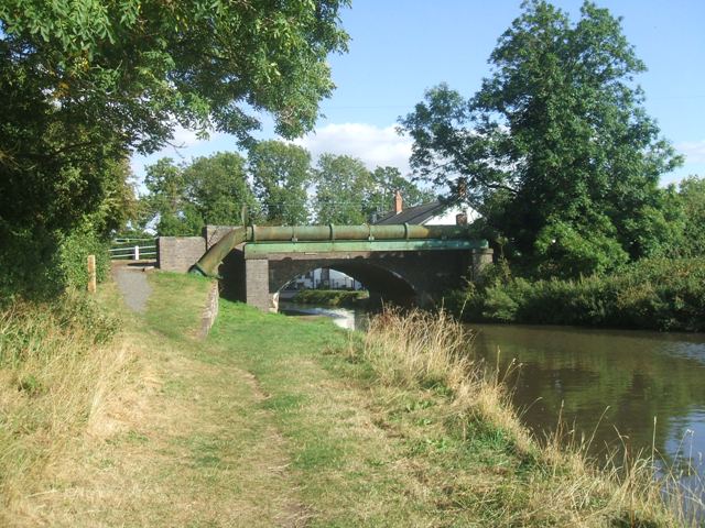
Brinsford Images

Images are sourced within 2km of 52.646249/-2.121165 or Grid Reference SJ9105. Thanks to Geograph Open Source API. All images are credited.

Hedge Stile The Footpath towards Lower Hattons.
Hedge Stile
The Footpath towards Lower Hattons.
HMP Oakwood (previously known as Featherstone 2) Work is progressing steadily on the new 1605 bed Category B prison near Wolverhampton. Completion is expected in April 2012. The three cell blocks will each house 480 inmates. The new prison will share the former Royal Ordnance Factory site with the existing HMP Featherstone Prison and Brinsford Young Offenders Institution.

The prison operated by G4S had the distinction of receiving the worst ever report by the HM Inspector of Prisons in October 2013.
HMP Oakwood (previously known as Featherstone 2)
Work is progressing steadily on the new 1605 bed Category B prison near Wolverhampton. Completion is expected in April 2012. The three cell blocks will each house 480 inmates. The new prison will share the former Royal Ordnance Factory site with the existing HMP Featherstone Prison and Brinsford Young Offenders Institution. The prison operated by G4S had the distinction of receiving the worst ever report by the HM Inspector of Prisons in October 2013.
Footpath from Featherstone Lane
Entrance to Featherstone Lane
Featherstone Farm Hotel, Featherstone
Cat and Kittens Lane, Featherstone This road runs between the former ordnance site near Featherstone and the M54, hence the road sign.
Cat and Kittens Lane, Featherstone
This road runs between the former ordnance site near Featherstone and the M54, hence the road sign.
Houses on Brewood Rd, Coven
Moseley Gate The front gated entrance to Moseley Old Hall.
Moseley Gate
The front gated entrance to Moseley Old Hall.
Moseley Wall Moseley Old Hall front elevation viewed from Moseley Old Hall Lane.
Moseley Wall
Moseley Old Hall front elevation viewed from Moseley Old Hall Lane.
Moseley Old Hall The Knot garden to the side elevation of Moseley Old Hall.
Moseley Old Hall
The Knot garden to the side elevation of Moseley Old Hall.
Behind Moseley Rear elevation of Moseley Old Hall.
Behind Moseley
Rear elevation of Moseley Old Hall.
Moseley Knot Knot garden to the side of Moseley Old Hall.
Moseley Knot
Knot garden to the side of Moseley Old Hall.
Moseley Old Hall Front elevation.
Moseley Old Hall
Front elevation.
Slade Heath Railway Bridge The bridge carries the West Coast Main Line between Wolverhampton and Stafford over the Staffordshire and Worcestershire Canal. The canal was built by James Brindley in the 1770s. The bridge deck dates from the 1960s when the line was electrified through to Glasgow.
Slade Heath Railway Bridge
The bridge carries the West Coast Main Line between Wolverhampton and Stafford over the Staffordshire and Worcestershire Canal. The canal was built by James Brindley in the 1770s. The bridge deck dates from the 1960s when the line was electrified through to Glasgow.
Bridge 72 - Slade Heath Bridge The bridge carries Old Stafford Road over the Staffordshire and Worcestershire Canal.
Bridge 72 - Slade Heath Bridge
The bridge carries Old Stafford Road over the Staffordshire and Worcestershire Canal.
Wharf near Slade Heath - Staffordshire and Worcestershire Canal The wharf was probably associated with the nearby Slade Heath water pumping station.
Wharf near Slade Heath - Staffordshire and Worcestershire Canal
The wharf was probably associated with the nearby Slade Heath water pumping station.
Looking across to Moseley Hall
Entrance to Moseley Old Hall Lane This narrow lane leads from Moseley Road to Moseley Old Hall.
Entrance to Moseley Old Hall Lane
This narrow lane leads from Moseley Road to Moseley Old Hall.
Show me another place!

Brinsford is located at Grid Ref: SJ9105 (Lat: 52.646249, Lng: -2.121165)

Administrative County: Staffordshire

District: South Staffordshire

Police Authority: Staffordshire

What 3 Words

///nation.belts.looked. Near Coven, Staffordshire

Nearby Locations

Brinsford Coven Heath Wood

Related Wikis

Wolverhampton Casuals F.C.

Wolverhampton Casuals Football Club are a football club based in Featherstone, near Wolverhampton, England. Established in 1899, they are currently members...
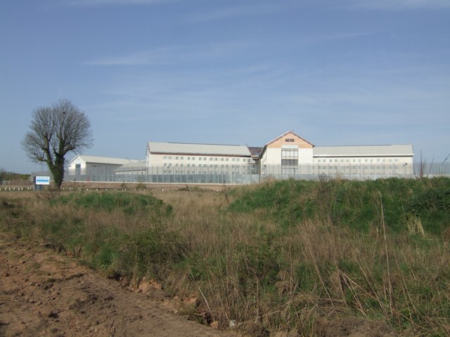
HM Prison Oakwood

HM Prison Oakwood is a Category C prison in Featherstone, Staffordshire, England. First opened in April 2012, the prison is operated by G4S and was primed...

Brinsford Parkway railway station

Brinsford Parkway is a proposed mainline railway station to the north of Wolverhampton, England. It has yet to be passed and is still in planning stages...

HM Prison Featherstone

HM Prison Featherstone is a Category C men's prison, located in the village of Featherstone (near Wolverhampton), in Staffordshire, England. The prison...

HM Prison Brinsford

HMP & YOI Prison Brinsford is an adult male Category B & C prison and Young Offenders Institution (YOI), located in the village of Featherstone (near Wolverhampton...

Brinsford Lodge

Brinsford Lodge was a hall of residence for The Polytechnic, Wolverhampton (now the University of Wolverhampton) from the mid-1960s to the early 1980s...

Coven, Staffordshire

Coven is a village in the district of South Staffordshire, England, near to the border with Wolverhampton. Together with Brewood it forms part of the...

St Paul's Church, Coven

St Paul's Church, Coven is a Grade II listed parish church in the Church of England in Coven, Staffordshire == History == The church was built in 1857...

Nearby Amenities

Located within 500m of 52.646249,-2.121165
Bus Stop
no 6
Naptan AtcoCode: 3800C629600
Naptan Bearing: N
Naptan CommonName: no 6
Naptan Indicator: Adj
Naptan Street: Stafford Road
Naptan Verified: no
Public Transport: platform
Source: naptan_import
Lat/Long: 52.643785/-2.127192
Power: tower
Source: Bing
Lat/Long: 52.6447462/-2.1167825
Power: tower
Source: Bing
Lat/Long: 52.6483155/-2.1169295
Crossing
Crossing: unmarked
Crossing Island: no
Crossing Markings: no
Tactile Paving: yes
Lat/Long: 52.6446782/-2.1271203
Crossing
Crossing: unmarked
Crossing Island: no
Crossing Markings: no
Tactile Paving: yes
Lat/Long: 52.6470788/-2.1282735
Waterway: turning_point
Lat/Long: 52.6490739/-2.1255546
Access: private
Barrier: lift_gate
Lat/Long: 52.6485804/-2.1148525
Power: pole
Lat/Long: 52.6421485/-2.11846
Power: pole
Lat/Long: 52.6432471/-2.1185029
Power: pole
Lat/Long: 52.6441194/-2.1185619
Power: pole
Lat/Long: 52.6450487/-2.1186155
Power: pole
Lat/Long: 52.6452066/-2.1233609
Power: pole
Lat/Long: 52.645698/-2.1233014
Power: pole
Lat/Long: 52.646375/-2.1231914
Power: pole
Lat/Long: 52.6470374/-2.1231243
Power: pole
Lat/Long: 52.6479503/-2.1229688
Power: pole
Lat/Long: 52.6485703/-2.1234998
Power: pole
Lat/Long: 52.649135/-2.1240041
Power: pole
Lat/Long: 52.6476476/-2.1187443
Power: pole
Lat/Long: 52.6460268/-2.1186504
Power: pole
Lat/Long: 52.6485736/-2.118806
Power: pole
Lat/Long: 52.6492782/-2.1199915
Power: pole
Lat/Long: 52.6497648/-2.1208766
Power: pole
Lat/Long: 52.6506516/-2.1209598
Power: pole
Lat/Long: 52.6469617/-2.1187046
Waterway: weir
Lat/Long: 52.6460437/-2.128513
Barrier: kerb
Kerb: lowered
Tactile Paving: no
Lat/Long: 52.643606/-2.1270874
Barrier: kerb
Kerb: lowered
Tactile Paving: no
Lat/Long: 52.643627/-2.1268165
Crossing
Crossing: unmarked
Crossing Island: no
Crossing Markings: no
Tactile Paving: no
Lat/Long: 52.6436233/-2.1268644
Crossing
Crossing: unmarked
Crossing Island: no
Crossing Markings: no
Tactile Paving: no
Lat/Long: 52.6436104/-2.1270304
The data included in this document is from www.openstreetmap.org. The data is made available under ODbL.

Have you been to Brinsford?

Leave your review of Brinsford below (or comments, questions and feedback).