Brinsley
Settlement in Nottinghamshire Broxtowe
England
Brinsley
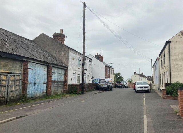
Brinsley is a small village located in the county of Nottinghamshire, England. It lies approximately 10 miles northwest of Nottingham city center and is nestled in the heart of the East Midlands region. The village is part of the Broxtowe borough and has a population of around 3,000 residents.
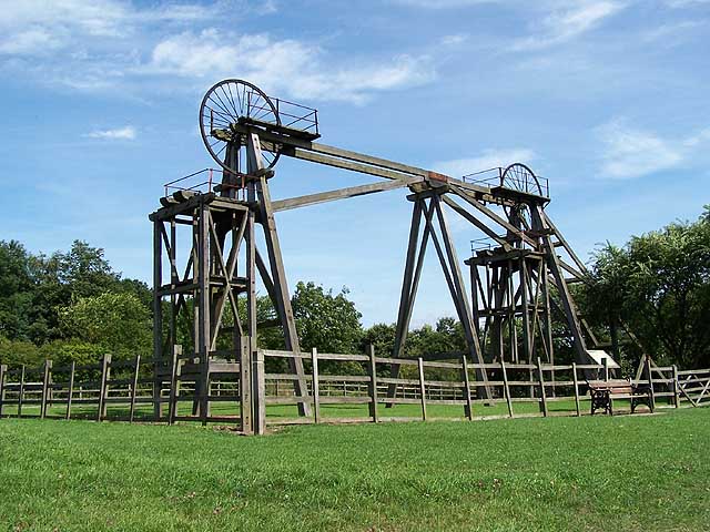
Historically, Brinsley was an industrial village known for its coal mining activities. The village's mining heritage is reflected in its architecture, with several former collieries still present in the area. Brinsley Colliery, which operated from the mid-19th century until its closure in 1970, holds significant historical importance.
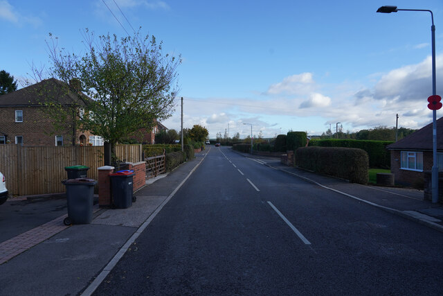
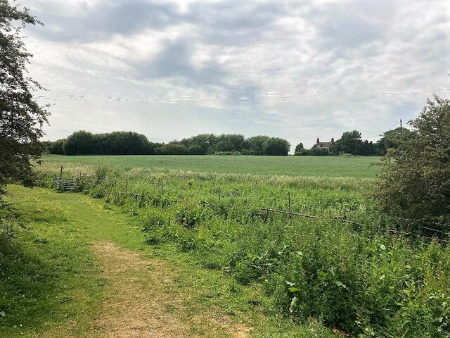
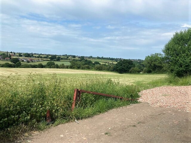
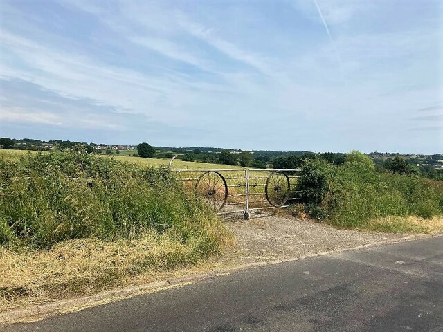
In recent years, Brinsley has evolved into a residential community with a quaint and peaceful atmosphere. The village offers a range of amenities, including a primary school, a local shop, and a community center. The surrounding countryside provides residents with ample opportunities for outdoor activities, such as walking and cycling.
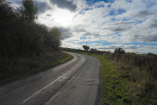
Brinsley is well-connected to neighboring towns and cities. The A610 road runs along the northern edge of the village, providing easy access to Nottingham and the wider motorway network. Public transportation options include regular bus services to nearby towns and villages.
Overall, Brinsley offers a tranquil living environment with a nod to its industrial past. Its close proximity to Nottingham city center and good transport links make it an attractive place to reside for those seeking a balance between rural and urban lifestyles.
If you have any feedback on the listing, please let us know in the comments section below.
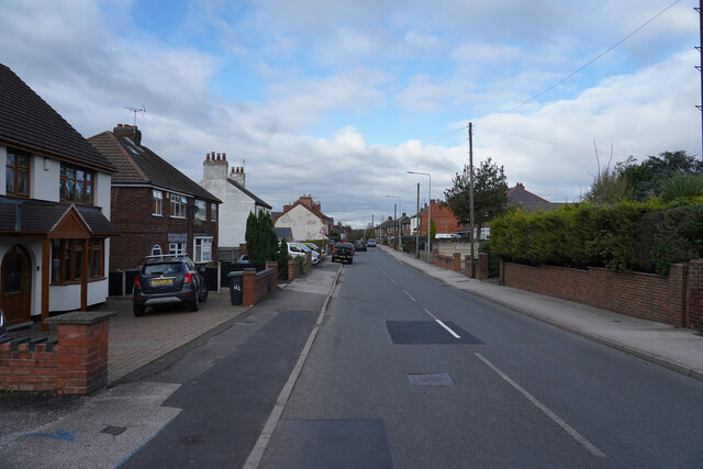
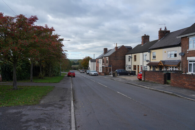
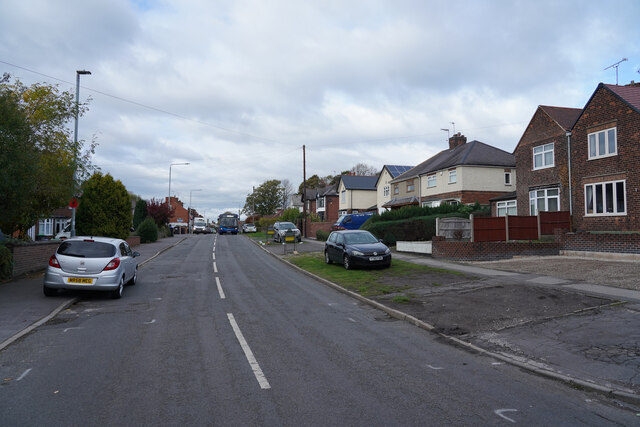
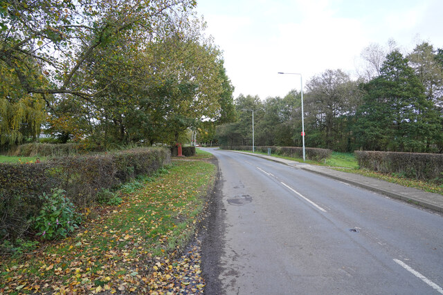
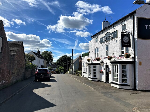
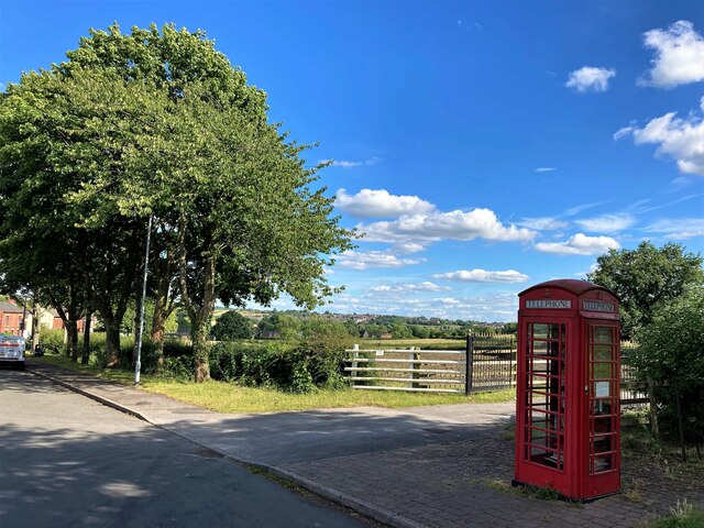
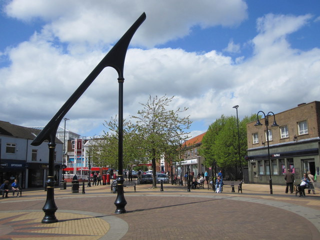
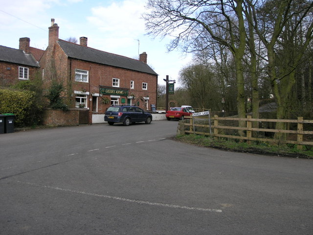
Brinsley Images
Images are sourced within 2km of 53.047668/-1.315386 or Grid Reference SK4550. Thanks to Geograph Open Source API. All images are credited.


Brinsley is located at Grid Ref: SK4550 (Lat: 53.047668, Lng: -1.315386)
Administrative County: Nottinghamshire
District: Broxtowe
Police Authority: Nottinghamshire
What 3 Words
///goggles.rhino.crawling. Near Heanor, Derbyshire
Nearby Locations
Related Wikis
Ashfield District
Ashfield () is a local government district in Nottinghamshire, England. The population of Ashfield was 127,200 in 2018. The district is mostly urban...
Bagthorpe, Nottinghamshire
Bagthorpe is a village in Nottinghamshire, England. It is in the civil parish of Selston. == See also == Listed buildings in Selston == External links... ==

Brinsley
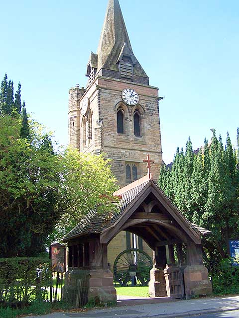
Brinsley is a village and civil parish in Nottinghamshire, England. The church of St James was built in 1837–38 from Mansfield stone, the chancel being...
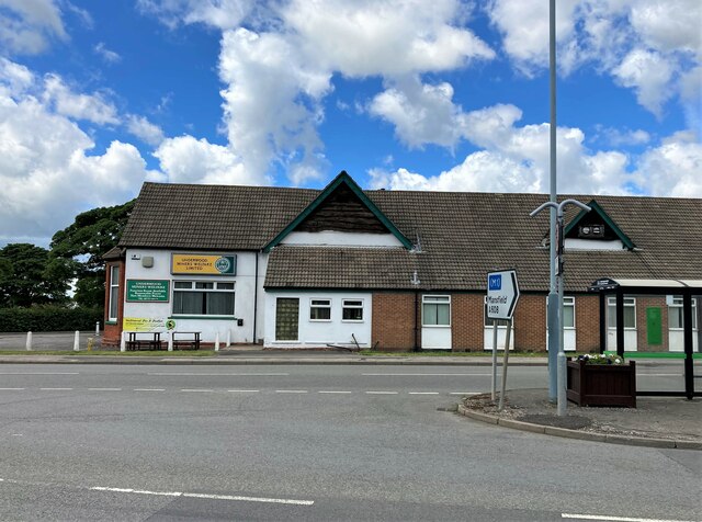
Church of St Michael and All Angels, Underwood
The Church of St Michael and All Angels, Underwood is a parish church in the Church of England in Underwood, Nottinghamshire. The church is Grade II listed...
Brinsley Colliery
Brinsley Colliery was a coal mine in west Nottinghamshire, close to the boundary with Derbyshire, in what is now Broxtowe district. == History == It was...

St Mary's Church, Westwood
St. Mary's Church, Westwood is a parish church in the Church of England in Jacksdale, Nottinghamshire. == History == The church was built in 1898 to the...
Underwood, Nottinghamshire
Underwood is a hilltop village within the civil parish of Selston in the English ceremonial county of Nottinghamshire. The village is a ward of Ashfield...

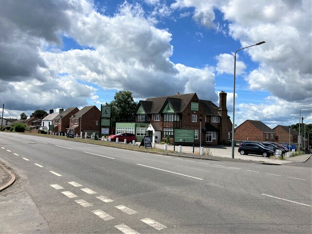
Jacksdale
Jacksdale is a village in the Ashfield local-government district of Nottinghamshire, England, once a mining community. The population of Jacksdale ward...
Nearby Amenities
Located within 500m of 53.047668,-1.315386Have you been to Brinsley?
Leave your review of Brinsley below (or comments, questions and feedback).