Brinsop

Settlement in Herefordshire

England

Brinsop

St Mary's Church, Credenhill The graveyard contains a large number of Polish graves.
St Mary's Church, Credenhill Credit: Julian P Guffogg

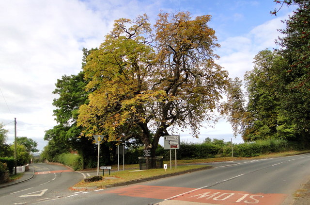
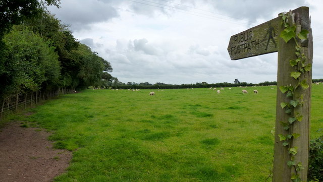
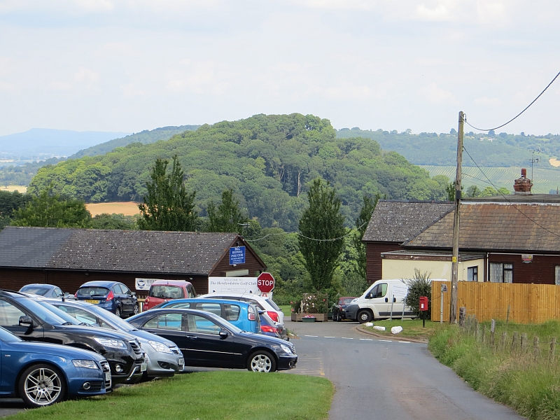
Brinsop is a charming village located in the county of Herefordshire, England. Situated just 7 miles northwest of the city of Hereford, it is nestled in the picturesque countryside and offers a tranquil and idyllic setting. The village is surrounded by rolling hills, lush green fields, and beautiful woodlands, making it a haven for nature lovers and outdoor enthusiasts.

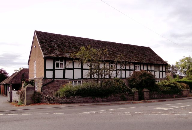
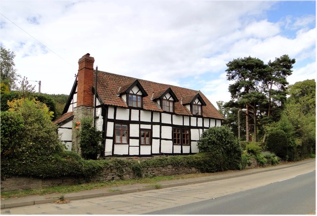
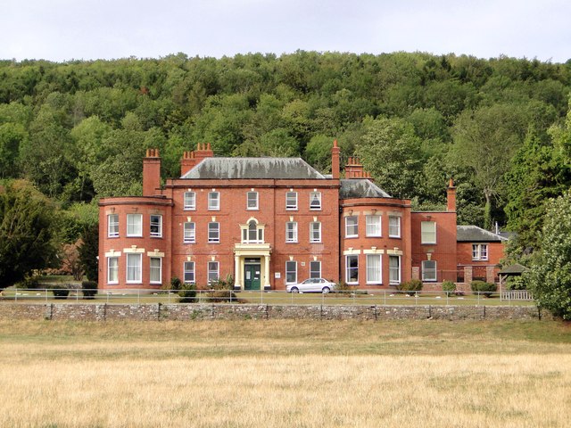
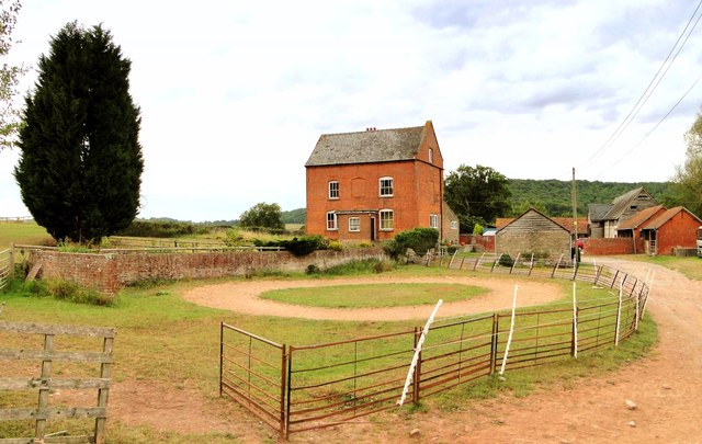
Brinsop is known for its rich historical significance, with records dating back to the Domesday Book of 1086. The village is home to the magnificent Brinsop Court, a stunning medieval moated manor house that has been beautifully preserved and is now used as a luxury holiday rental and wedding venue. The house boasts a rich history, including ties to the famous playwright William Shakespeare.

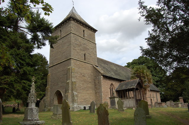
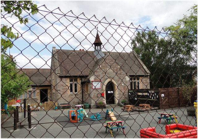
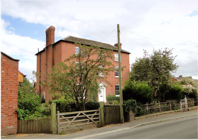
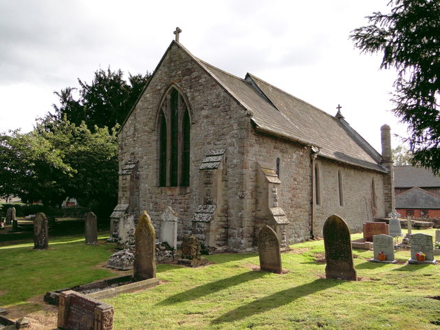
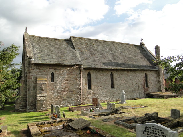
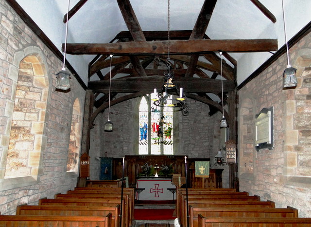
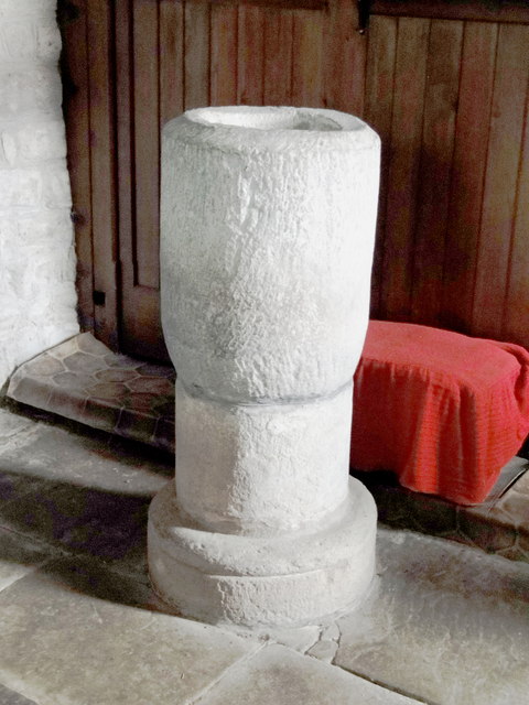
The village itself is relatively small, with a close-knit community and a peaceful atmosphere. It features a quaint parish church, St. George's Church, which dates back to the 12th century and showcases beautiful stained glass windows and intricate stonework.

Although Brinsop is a rural village, it benefits from being in close proximity to the city of Hereford, which offers a range of amenities such as shops, restaurants, and leisure facilities. The village also benefits from excellent transport links, with easy access to major roads and public transportation.

Brinsop is a hidden gem, offering a perfect blend of history, natural beauty, and tranquility, making it an ideal destination for those seeking a peaceful retreat or a base to explore the stunning Herefordshire countryside.

If you have any feedback on the listing, please let us know in the comments section below.
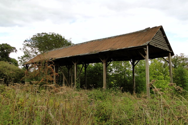
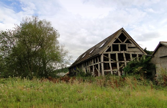
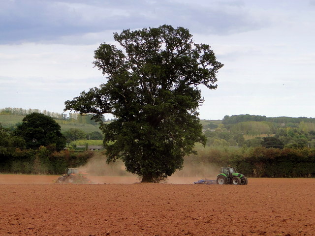
Brinsop Images

Images are sourced within 2km of 52.099248/-2.8201141 or Grid Reference SO4344. Thanks to Geograph Open Source API. All images are credited.

St Mary's Church, Credenhill The graveyard contains a large number of Polish graves.
St Mary's Church, Credenhill
The graveyard contains a large number of Polish graves.
The Tree, Credenhill An important reference point in this large village. It features in bus timetables, it carries notices about local events and birthday announcements. The station at the end of Station Road is no longer there - it closed in 1963.
The Tree, Credenhill
An important reference point in this large village. It features in bus timetables, it carries notices about local events and birthday announcements. The station at the end of Station Road is no longer there - it closed in 1963.
Cross Farmhouse, Credenhill Listed former farmhouse at the entrance to the village, the junction with the main road at the tree.
Cross Farmhouse, Credenhill
Listed former farmhouse at the entrance to the village, the junction with the main road at the tree.
Cross Cottage, Credenhill Delightful listed timber framed cottage at the end of the village, near the church
Cross Cottage, Credenhill
Delightful listed timber framed cottage at the end of the village, near the church
Kindergarten, Credenhill Behind the wire, housed in the former village primary school. The 'new' village school is now behind the old building.
Kindergarten, Credenhill
Behind the wire, housed in the former village primary school. The 'new' village school is now behind the old building.
Town Well, Credenhill Elegant listed late 18th century house in Station Road, the main street. The house has long outlived the station and looks fit for a few more centuries.
Town Well, Credenhill
Elegant listed late 18th century house in Station Road, the main street. The house has long outlived the station and looks fit for a few more centuries.
St Mary, Credenhill Away from the village, with Credenhill Court as a neighbour.
St Mary, Credenhill
Away from the village, with Credenhill Court as a neighbour.
Credenhill Court Handsome Georgian house in a splendid setting. Built in 1760, added to in the 19th century and altered internally to adapt it to its present use as a home for older people. Many past residents came here from Eastern Europe after the War, some being buried in the neighbouring churchyard.
Credenhill Court
Handsome Georgian house in a splendid setting. Built in 1760, added to in the 19th century and altered internally to adapt it to its present use as a home for older people. Many past residents came here from Eastern Europe after the War, some being buried in the neighbouring churchyard.
St Michael, Kenchester Lovely and clearly much loved small Norman church away from everything except Court Farm and the humps and bumps of the remains of Magnis, the Roman town.
St Michael, Kenchester
Lovely and clearly much loved small Norman church away from everything except Court Farm and the humps and bumps of the remains of Magnis, the Roman town.
St Michael, Kenchester The North side of this delightful small church, dating from Norman times.
St Michael, Kenchester
The North side of this delightful small church, dating from Norman times.
St Michael, Kenchester Interior, looking East.
St Michael, Kenchester
Interior, looking East.
St Michael, Kenchester The font - a very early piece and tempting to think that as the church is on the site of a Roman town it could be a re-used column.
St Michael, Kenchester
The font - a very early piece and tempting to think that as the church is on the site of a Roman town it could be a re-used column.
Court Farm, Credenhill A splendid collection of listed farm buildings, all in various stages of dereliction and just waiting to be rescued. A very private site, but clearly often visited.
Court Farm, Credenhill
A splendid collection of listed farm buildings, all in various stages of dereliction and just waiting to be rescued. A very private site, but clearly often visited.
Dutch Barn, Court Farm One of the many derelict buildings on this spectacular site - surely some of the best historic farm buildings in the county.
Dutch Barn, Court Farm
One of the many derelict buildings on this spectacular site - surely some of the best historic farm buildings in the county.
Hill Farm, Tillington At the end of a long lane which heads up into the hills. An 18th century farmhouse on an ancient site with a fine collection of outbuildings.
Hill Farm, Tillington
At the end of a long lane which heads up into the hills. An 18th century farmhouse on an ancient site with a fine collection of outbuildings.
Barn, Hill Farm 17th century barn at the rear of Hill Farm. A start at restoration and conversion has been made - note the Velux windows in the roof, but it is still in use for storage - the purpose for which it was built.
Barn, Hill Farm
17th century barn at the rear of Hill Farm. A start at restoration and conversion has been made - note the Velux windows in the roof, but it is still in use for storage - the purpose for which it was built.
Ploughing, Michdene Farm
Footpath east to Credenhill The field-edge path crosses a pastoral landscape.
Footpath east to Credenhill
The field-edge path crosses a pastoral landscape.
Show me another place!

Brinsop is located at Grid Ref: SO4344 (Lat: 52.099248, Lng: -2.8201141)

Unitary Authority: County of Herefordshire

Police Authority: West Mercia

What 3 Words

///parsnips.essay.grab. Near Credenhill, Herefordshire

Related Wikis

Brinsop

Brinsop is a village and former civil parish, now in the parish of Brinsop and Wormsley, in the county of Herefordshire, England. It is 6 miles north-west...

Brinsop Court

Brinsop Court, Brinsop, Herefordshire, England is a manor house dating from the 14th century. The house was much extended in the 16th and 17th centuries...

Brinsop and Wormsley

Brinsop and Wormsley is a civil parish in the county of Herefordshire, England. It includes the largely depopulated village settlements of Brinsop and...

Mansel Lacy

Mansel Lacy (alternatively spelled Mansell Lacy) is a small village and civil parish in Herefordshire, England. It is 7 miles (11 km) north west of Hereford...

Nearby Amenities

Located within 500m of 52.099248,-2.8201141
Brinsop
Place: village
Source: OS_OpenData_Streetview
Lat/Long: 52.0978732/-2.8200097
The data included in this document is from www.openstreetmap.org. The data is made available under ODbL.

Have you been to Brinsop?

Leave your review of Brinsop below (or comments, questions and feedback).