Brinsop Common

Downs, Moorland in Herefordshire

England

Brinsop Common

St Mary's Church, Credenhill The graveyard contains a large number of Polish graves.
St Mary's Church, Credenhill Credit: Julian P Guffogg

Brinsop Common is a picturesque area located in Herefordshire, England. Nestled amidst the tranquil countryside, this common covers a sprawling expanse of downs and moorland. With its lush greenery and breathtaking landscapes, it attracts nature enthusiasts and walkers alike.

The common is characterized by its undulating hills and open spaces, providing a haven for a variety of flora and fauna. The downs, covered in vibrant wildflowers during the summer months, offer a striking contrast against the clear blue skies. One can witness a diverse range of plant species, including heather, gorse, and bracken, creating a vibrant tapestry of colors.

In addition to its natural beauty, Brinsop Common is home to an array of wildlife. Visitors may spot rabbits, hares, and various species of birds, including skylarks and kestrels. The moorland, with its marshy terrain and small ponds, supports a rich biodiversity, attracting dragonflies, butterflies, and amphibians.

For outdoor enthusiasts, Brinsop Common offers ample opportunities for walking, hiking, and exploring. Several footpaths and trails crisscross the area, allowing visitors to fully immerse themselves in the peaceful surroundings. The common also provides stunning viewpoints, where one can soak in panoramic vistas of the surrounding countryside.

With its unspoiled beauty and serene atmosphere, Brinsop Common in Herefordshire truly offers a tranquil escape for those seeking to connect with nature and experience the charm of the English countryside.

If you have any feedback on the listing, please let us know in the comments section below.

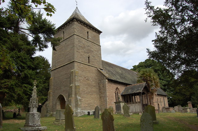
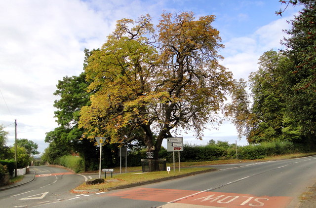
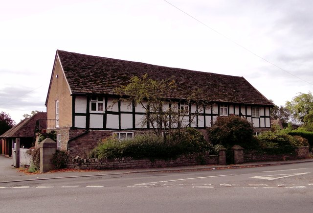
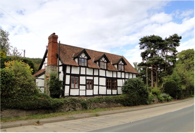
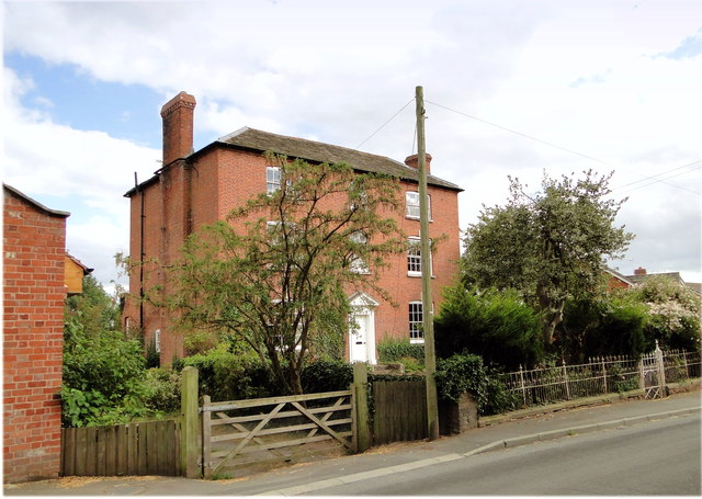
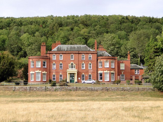
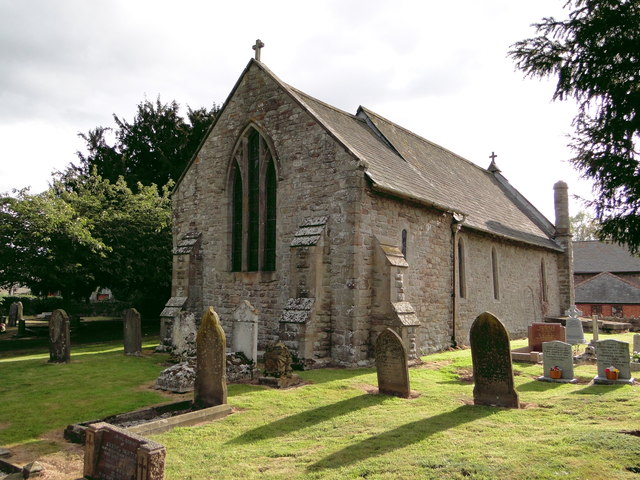
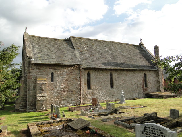
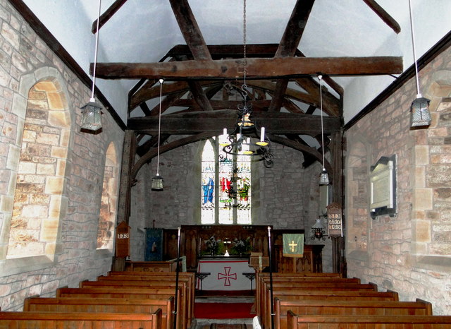
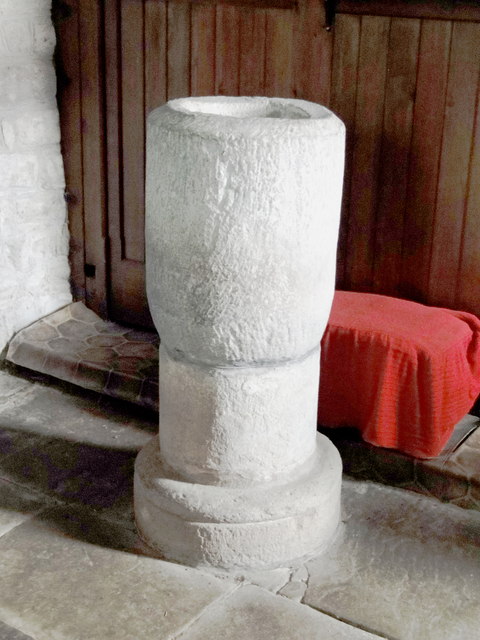
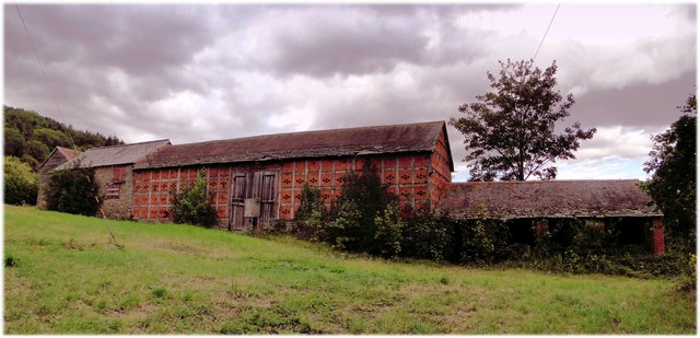
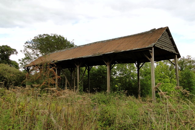
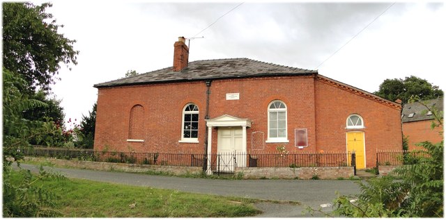
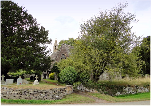
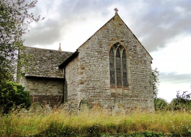
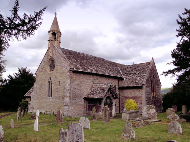
Brinsop Common Images

Images are sourced within 2km of 52.095201/-2.8266963 or Grid Reference SO4344. Thanks to Geograph Open Source API. All images are credited.

St Mary's Church, Credenhill The graveyard contains a large number of Polish graves.
St Mary's Church, Credenhill
The graveyard contains a large number of Polish graves.
The Tree, Credenhill An important reference point in this large village. It features in bus timetables, it carries notices about local events and birthday announcements. The station at the end of Station Road is no longer there - it closed in 1963.
The Tree, Credenhill
An important reference point in this large village. It features in bus timetables, it carries notices about local events and birthday announcements. The station at the end of Station Road is no longer there - it closed in 1963.
Cross Farmhouse, Credenhill Listed former farmhouse at the entrance to the village, the junction with the main road at the tree.
Cross Farmhouse, Credenhill
Listed former farmhouse at the entrance to the village, the junction with the main road at the tree.
Cross Cottage, Credenhill Delightful listed timber framed cottage at the end of the village, near the church
Cross Cottage, Credenhill
Delightful listed timber framed cottage at the end of the village, near the church
Kindergarten, Credenhill Behind the wire, housed in the former village primary school. The 'new' village school is now behind the old building.
Kindergarten, Credenhill
Behind the wire, housed in the former village primary school. The 'new' village school is now behind the old building.
Town Well, Credenhill Elegant listed late 18th century house in Station Road, the main street. The house has long outlived the station and looks fit for a few more centuries.
Town Well, Credenhill
Elegant listed late 18th century house in Station Road, the main street. The house has long outlived the station and looks fit for a few more centuries.
St Mary, Credenhill Away from the village, with Credenhill Court as a neighbour.
St Mary, Credenhill
Away from the village, with Credenhill Court as a neighbour.
Credenhill Court Handsome Georgian house in a splendid setting. Built in 1760, added to in the 19th century and altered internally to adapt it to its present use as a home for older people. Many past residents came here from Eastern Europe after the War, some being buried in the neighbouring churchyard.
Credenhill Court
Handsome Georgian house in a splendid setting. Built in 1760, added to in the 19th century and altered internally to adapt it to its present use as a home for older people. Many past residents came here from Eastern Europe after the War, some being buried in the neighbouring churchyard.
St Michael, Kenchester Lovely and clearly much loved small Norman church away from everything except Court Farm and the humps and bumps of the remains of Magnis, the Roman town.
St Michael, Kenchester
Lovely and clearly much loved small Norman church away from everything except Court Farm and the humps and bumps of the remains of Magnis, the Roman town.
St Michael, Kenchester The North side of this delightful small church, dating from Norman times.
St Michael, Kenchester
The North side of this delightful small church, dating from Norman times.
St Michael, Kenchester Interior, looking East.
St Michael, Kenchester
Interior, looking East.
St Michael, Kenchester The font - a very early piece and tempting to think that as the church is on the site of a Roman town it could be a re-used column.
St Michael, Kenchester
The font - a very early piece and tempting to think that as the church is on the site of a Roman town it could be a re-used column.
Court Farm, Credenhill A splendid collection of listed farm buildings, all in various stages of dereliction and just waiting to be rescued. A very private site, but clearly often visited.
Court Farm, Credenhill
A splendid collection of listed farm buildings, all in various stages of dereliction and just waiting to be rescued. A very private site, but clearly often visited.
Dutch Barn, Court Farm One of the many derelict buildings on this spectacular site - surely some of the best historic farm buildings in the county.
Dutch Barn, Court Farm
One of the many derelict buildings on this spectacular site - surely some of the best historic farm buildings in the county.
Lady Southampton's Chapel, Kenchester Dating from 1830 and still very much in use.
Lady Southampton's Chapel, Kenchester
Dating from 1830 and still very much in use.
St Lawrence, Bishopstone The parish cat stalks the church path, having seen off the last visitor of the day to this highly unusual building.
St Lawrence, Bishopstone
The parish cat stalks the church path, having seen off the last visitor of the day to this highly unusual building.
St Lawrence, Bishopstone The East end, showing the typical 13th century 'Herefordshire' window.
St Lawrence, Bishopstone
The East end, showing the typical 13th century 'Herefordshire' window.
St Lawrence, Bishopstone At my last visit the West end was taped off as the belfry was deemed unsafe. It has since been repaired by someone who clearly knew what they were doing.
St Lawrence, Bishopstone
At my last visit the West end was taped off as the belfry was deemed unsafe. It has since been repaired by someone who clearly knew what they were doing.
Show me another place!

Brinsop Common is located at Grid Ref: SO4344 (Lat: 52.095201, Lng: -2.8266963)

Unitary Authority: County of Herefordshire

Police Authority: West Mercia

What 3 Words

///relishing.maternal.anchors. Near Credenhill, Herefordshire

Related Wikis

Brinsop

Brinsop is a village and former civil parish, now in the parish of Brinsop and Wormsley, in the county of Herefordshire, England. It is 6 miles north-west...

Mansel Lacy

Mansel Lacy (alternatively spelled Mansell Lacy) is a small village and civil parish in Herefordshire, England. It is 7 miles (11 km) north west of Hereford...

Kenchester

Kenchester is a parish in Herefordshire, England. It is about 5.5 miles (9 km) west-northwest of Hereford. Kenchester is near the Romano-British town of...

Magnis (Kenchester)

Magnae, sometimes Magnae Dobunnorum (Latin for "The Greats of the Dobunni") to distinguish it from the Magnae of the Carvetii on Hadrian's Wall in northern...

Nearby Amenities

Located within 500m of 52.095201,-2.8266963
Brinsop Common
Place: hamlet
Lat/Long: 52.0944289/-2.8256748
Generator Method: photovoltaic
Generator Output Electricity: yes
Generator Source: solar
Generator Type: solar_photovoltaic_panel
Location: roof
Power: generator
Lat/Long: 52.0946786/-2.8240952
The data included in this document is from www.openstreetmap.org. The data is made available under ODbL.

Have you been to Brinsop Common?

Leave your review of Brinsop Common below (or comments, questions and feedback).