Ashmore Down
Downs, Moorland in Dorset
England
Ashmore Down
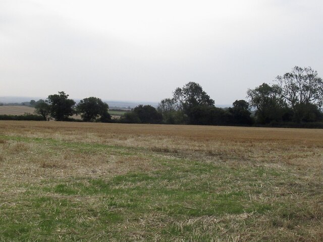
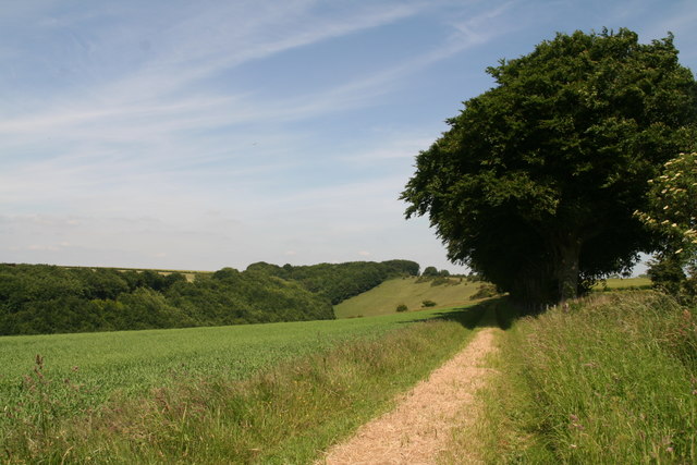
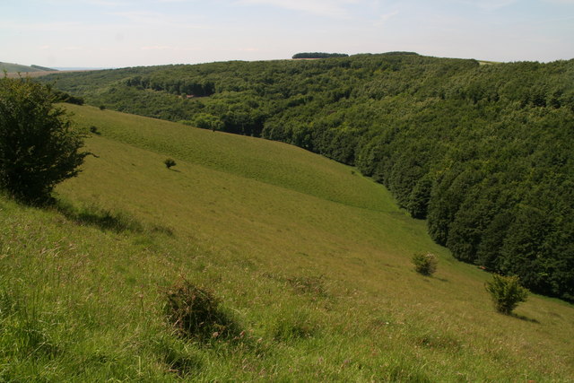
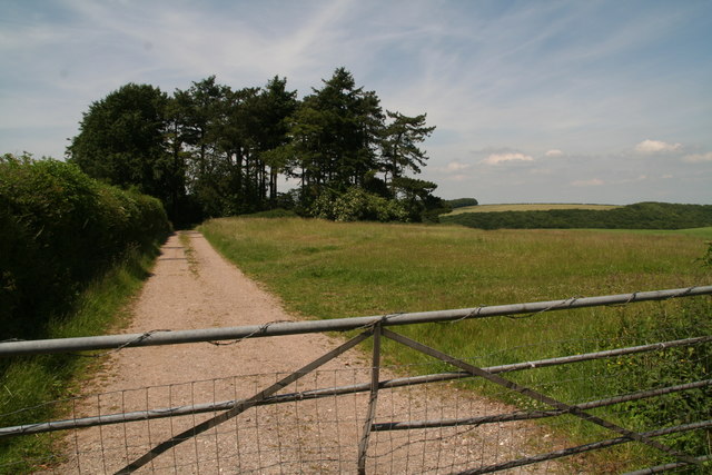
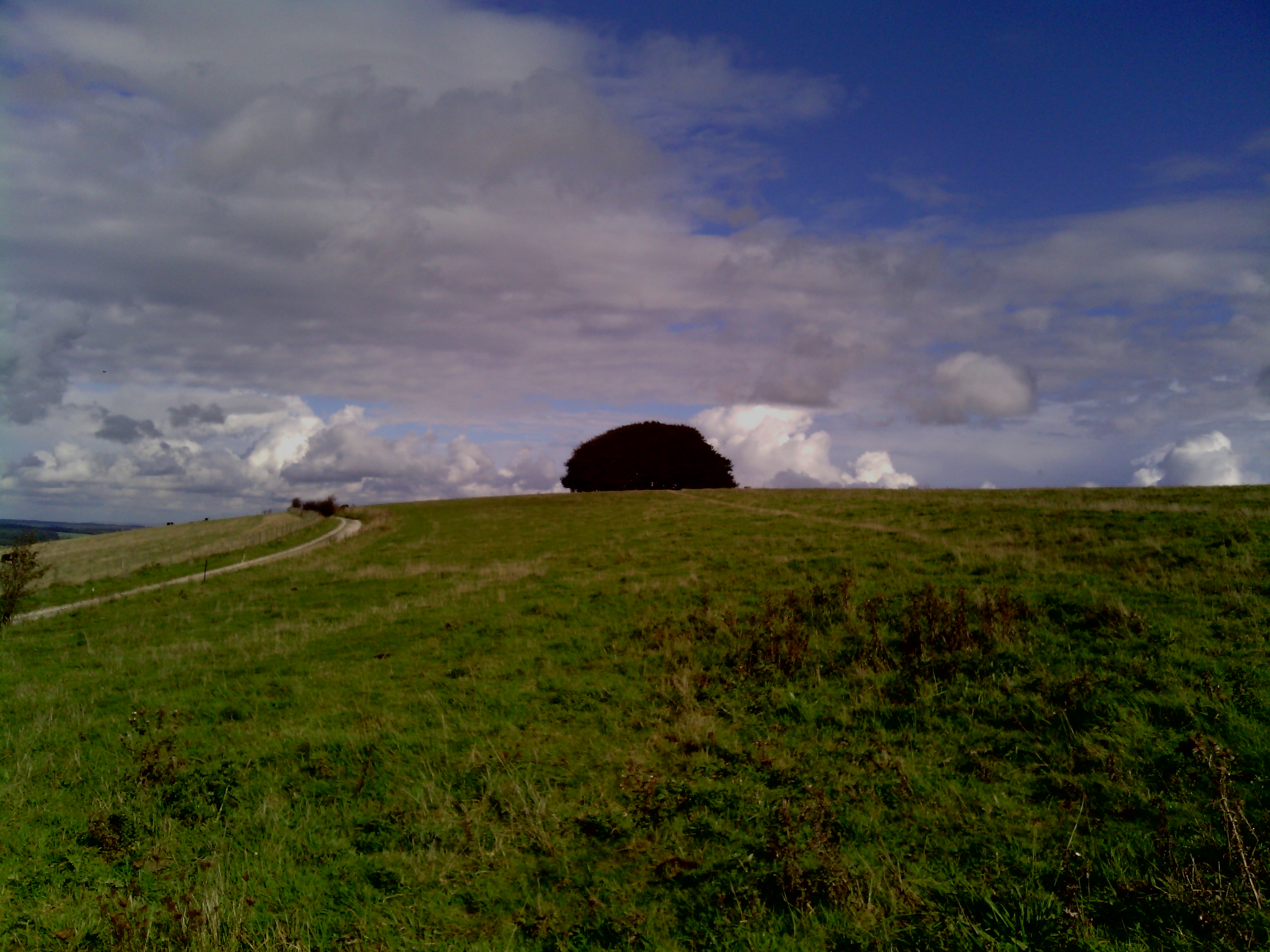
Ashmore Down is a picturesque area situated in the county of Dorset, England. It is known for its beautiful downs and expansive moorland, making it a popular destination for nature enthusiasts and hikers alike.
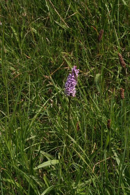
Located near the village of Ashmore, the Down covers an area of approximately 15 square kilometers. The landscape is characterized by rolling hills, vast open spaces, and stunning panoramic views. It is also home to a variety of flora and fauna, including heather, gorse, and a diverse range of bird species.
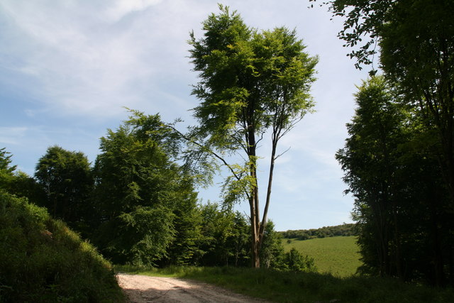
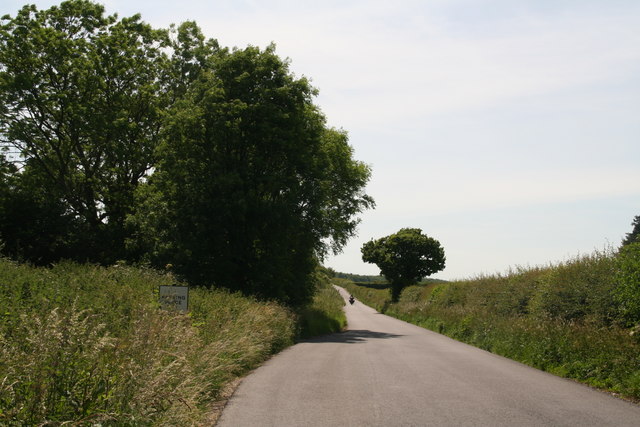
The Down is intersected by several footpaths and bridleways, making it ideal for walking, cycling, and horse riding. One of the most popular routes is the Wessex Ridgeway, which passes through Ashmore Down and offers breathtaking views of the surrounding countryside.
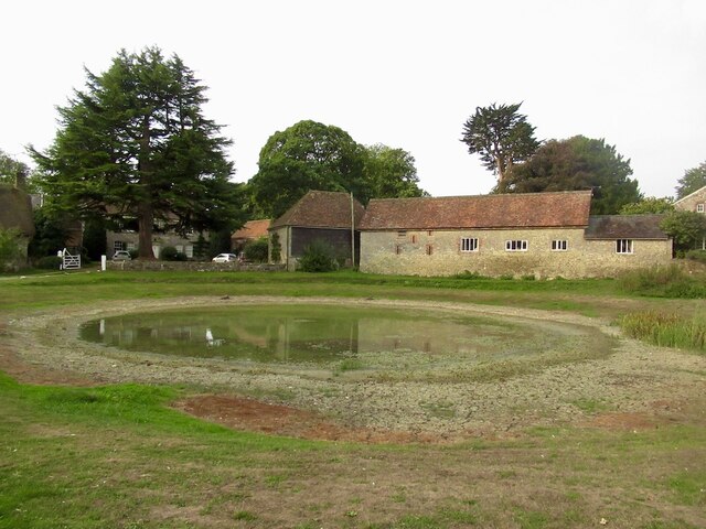
The area has a rich history, with evidence of human settlement dating back to the Neolithic period. There are several ancient burial mounds and archaeological sites scattered throughout the Down, providing insight into the area's past.
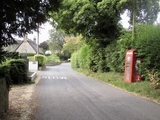
In addition to its natural beauty, Ashmore Down is also known for its tranquil atmosphere and peaceful surroundings. It offers an escape from the hustle and bustle of city life, allowing visitors to reconnect with nature and enjoy the simple pleasures of the countryside.
Overall, Ashmore Down in Dorset is a captivating destination that combines stunning landscapes, rich history, and a sense of tranquility. It is an ideal location for outdoor enthusiasts, history buffs, or anyone seeking a peaceful retreat in the heart of nature.
If you have any feedback on the listing, please let us know in the comments section below.
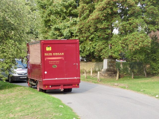
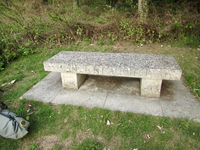
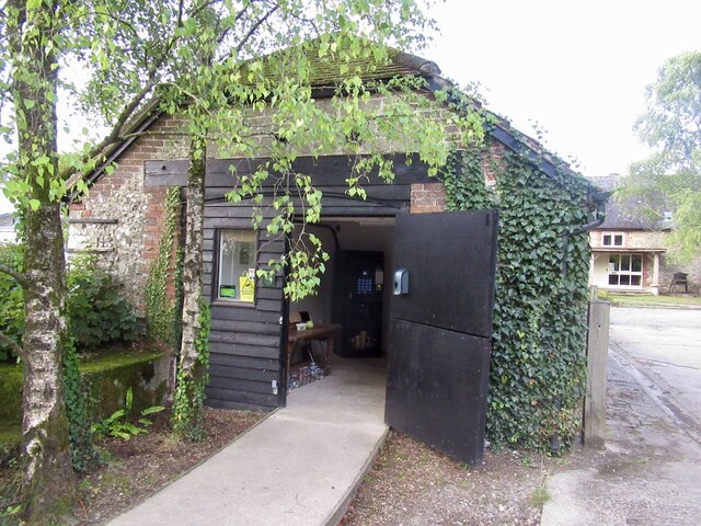
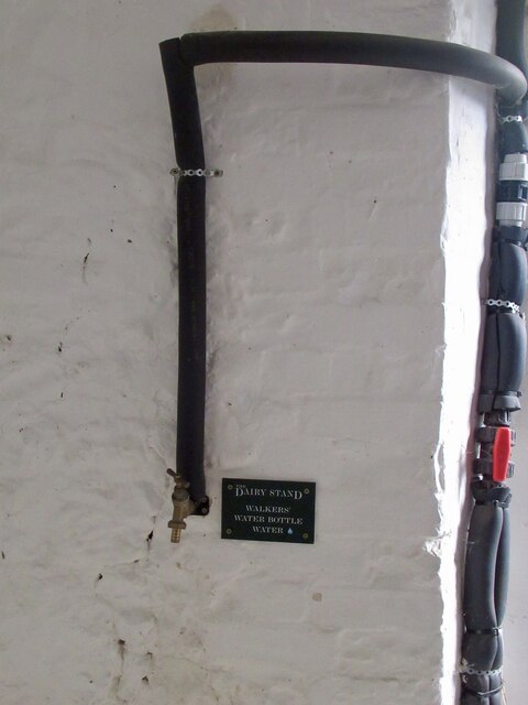
Ashmore Down Images
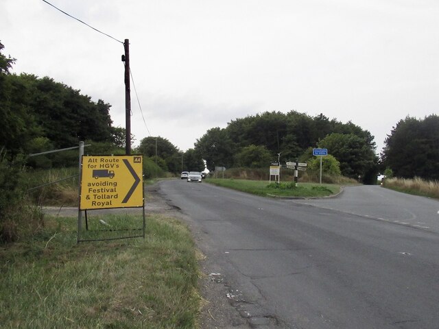
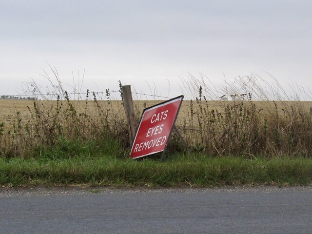
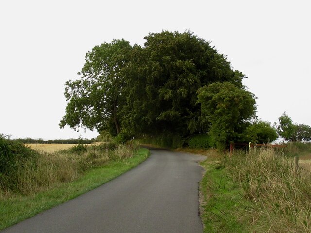
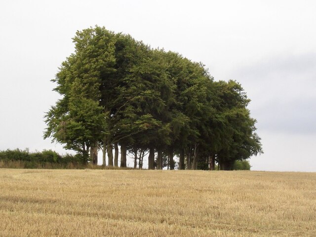
Images are sourced within 2km of 50.97392/-2.1246161 or Grid Reference ST9119. Thanks to Geograph Open Source API. All images are credited.

Ashmore Down is located at Grid Ref: ST9119 (Lat: 50.97392, Lng: -2.1246161)
Unitary Authority: Dorset
Police Authority: Dorset
What 3 Words
///jots.constants.lump. Near Shaftesbury, Dorset
Nearby Locations
Related Wikis

Melbury Down
Melbury Down is an area of downland in northern Dorset, England. It is owned by the National Trust. The chalk grassland here supports large butterfly populations...

Ashmore
Ashmore is a village and civil parish in the North Dorset district of Dorset, England, 20 miles (32 kilometres) southwest of Salisbury. The village is...
Win Green Down
Win Green Down at grid reference ST927209 in south-western Wiltshire, England is a 26.0 hectares (64 acres) biological Site of Special Scientific Interest...

Breeze Hill
Breeze Hill is a prominent, largely treeless, rounded summit, 262 metres high, on the edge of Cranborne Chase about a mile east of the village of Melbury...

Ashcombe House, Wiltshire
Ashcombe House, also known as Ashcombe Park, is a Georgian manor house, set in 1,134 acres (4.59 km2) of land on Cranborne Chase in the parish of Berwick...

Compton Abbas Airfield
Compton Abbas Airfield (IATA: n/a, ICAO: EGHA) is a grass airstrip 2.7 NM (5.0 km; 3.1 mi) south of Shaftesbury, Dorset, England. Compton Abbas Aerodrome...

Melbury Abbas
Melbury Abbas is a village and civil parish in north Dorset, England, 3 km SSW of the town of Shaftesbury, east of the A350 Shaftesbury to Blandford Forum...

Rotherley Downs
Rotherley Downs (grid reference ST946196) is a 120.05 hectare biological Site of Special Scientific Interest in Wiltshire, England, notified in 1989. The...
Nearby Amenities
Located within 500m of 50.97392,-2.1246161Have you been to Ashmore Down?
Leave your review of Ashmore Down below (or comments, questions and feedback).