Sedgley Hall Farm Park

Downs, Moorland in Staffordshire

England

Sedgley Hall Farm Park

New Year on Northway The Northway Estate in Sedgley on New Year's Day.
New Year on Northway Credit: Gordon Griffiths

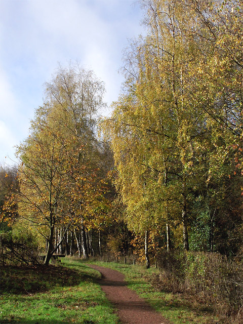
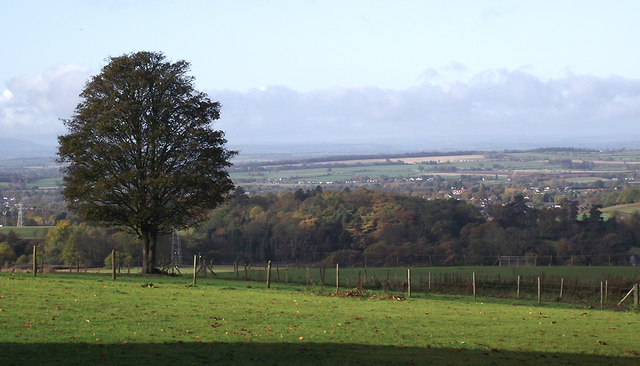
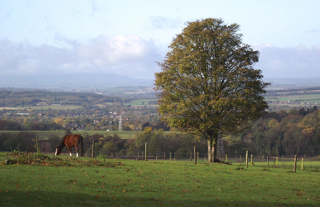
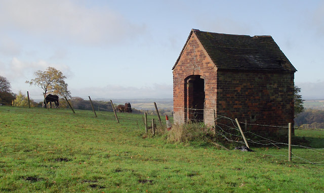
Sedgley Hall Farm Park is a charming agricultural attraction located in Staffordshire, England. Situated amidst the picturesque Downs and Moorland landscapes, the farm park offers a delightful experience for visitors of all ages.

Spread across a vast area, Sedgley Hall Farm Park is home to a variety of animals, providing a unique opportunity for visitors to interact with them up close. The farm boasts a diverse range of livestock, including cows, pigs, sheep, goats, and chickens, among others. Visitors can participate in feeding sessions and learn about the different breeds of animals found on the farm.

In addition to the animals, Sedgley Hall Farm Park features several family-friendly amenities. Children can enjoy a playground area with swings, slides, and climbing frames, providing endless entertainment and adventure. The farm park also offers tractor rides, allowing visitors to explore the picturesque surroundings in a fun and exhilarating manner.

For those seeking a more educational experience, Sedgley Hall Farm Park organizes informative tours and demonstrations. Knowledgeable guides provide insights into farming practices, animal care, and the importance of sustainable agriculture. Visitors can witness sheep shearing demonstrations, learn about milking cows, and even try their hand at gardening in the on-site vegetable patch.

Sedgley Hall Farm Park is a perfect destination for a day out in nature, offering a blend of entertainment, education, and relaxation. Whether it's a family outing, a school trip, or simply a desire to reconnect with the countryside, Sedgley Hall Farm Park provides a memorable and enriching experience for all.

If you have any feedback on the listing, please let us know in the comments section below.

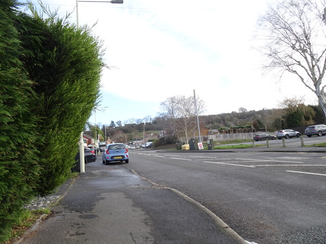
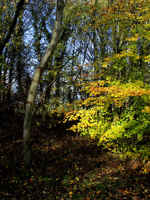
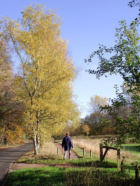
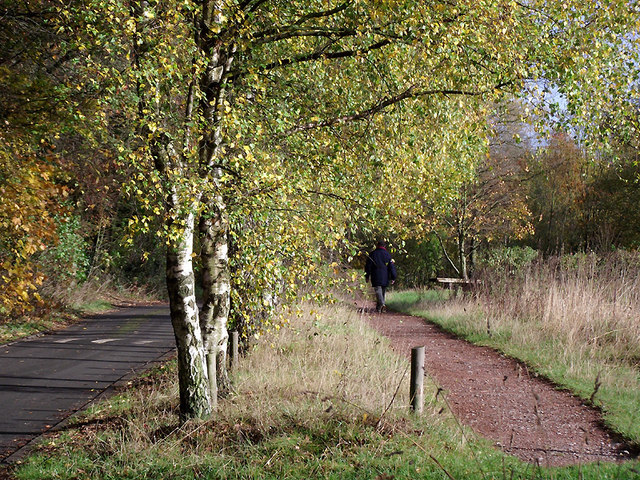
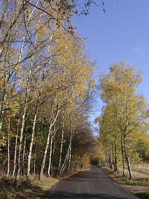
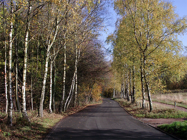
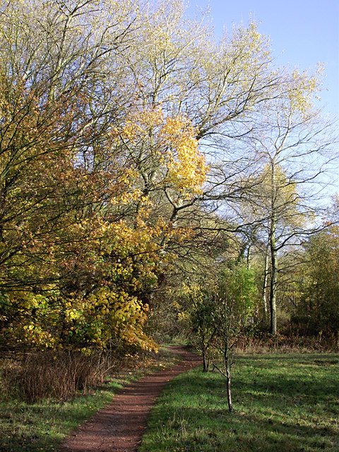
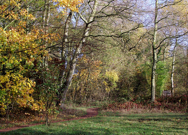
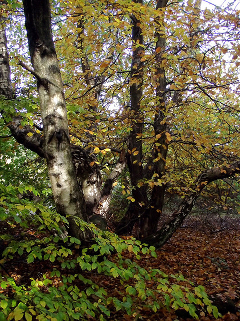
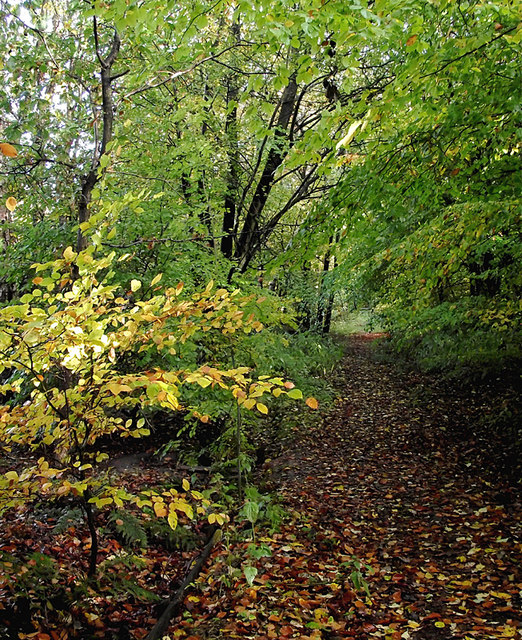
Sedgley Hall Farm Park Images

Images are sourced within 2km of 52.545194/-2.129057 or Grid Reference SO9194. Thanks to Geograph Open Source API. All images are credited.

New Year on Northway The Northway Estate in Sedgley on New Year's Day.
New Year on Northway
The Northway Estate in Sedgley on New Year's Day.
Northway View The Northway Estate in Sedgley on New Year's Day.
Northway View
The Northway Estate in Sedgley on New Year's Day.
Christmas on Northway The Northway Estate in Sedgley on Christmas Day.
Christmas on Northway
The Northway Estate in Sedgley on Christmas Day.
Woodland in Baggeridge Country Park, near Sedgley These woods are by the road north of the visitor centre near Gospel End. 
Baggeridge Country Park is an attractive area of countryside near Dudley and Wolverhampton. It was formerly the Baggeridge Colliery. Together with part of the original Himley Estate of the Earls of Dudley, the whole site has been transformed into 150 acres of attractive country park, including woodland, lakes, and open grassed areas.
Woodland in Baggeridge Country Park, near Sedgley
These woods are by the road north of the visitor centre near Gospel End. Baggeridge Country Park is an attractive area of countryside near Dudley and Wolverhampton. It was formerly the Baggeridge Colliery. Together with part of the original Himley Estate of the Earls of Dudley, the whole site has been transformed into 150 acres of attractive country park, including woodland, lakes, and open grassed areas.
 Baggeridge Country Park, near Sedgley The road links the car parks to Woodhouse Lane (A463) near Gospel End. The Upper Meadow is on the right.

Baggeridge Country Park is an attractive area of countryside near Dudley and Wolverhampton. It was formerly the Baggeridge Colliery. Together with part of the original Himley Estate of the Earls of Dudley, the whole site has been transformed into 150 acres of attractive country park, including woodland, lakes, and open grassed areas. <span class="nowrap"><a title="http://www.sstaffs.gov.uk/default.aspx?page=12695" rel="nofollow ugc noopener" href="http://www.sstaffs.gov.uk/default.aspx?page=12695">Link</a><img style="margin-left:2px;" alt="External link" title="External link - shift click to open in new window" src="https://s1.geograph.org.uk/img/external.png" width="10" height="10"/></span>
Baggeridge Country Park, near Sedgley
The road links the car parks to Woodhouse Lane (A463) near Gospel End. The Upper Meadow is on the right. Baggeridge Country Park is an attractive area of countryside near Dudley and Wolverhampton. It was formerly the Baggeridge Colliery. Together with part of the original Himley Estate of the Earls of Dudley, the whole site has been transformed into 150 acres of attractive country park, including woodland, lakes, and open grassed areas. LinkExternal link
 Baggeridge Country Park, near Sedgley The road links the car parks to Woodhouse Lane (A463) near Gospel End. The Upper Meadow is off to the right.
Baggeridge Country Park, near Sedgley
The road links the car parks to Woodhouse Lane (A463) near Gospel End. The Upper Meadow is off to the right.
The Road to Gospel End near Sedgley The private road is in Baggeridge Country Park and links the car parks to Woodhouse Lane (A463) near Gospel End.
The Road to Gospel End near Sedgley
The private road is in Baggeridge Country Park and links the car parks to Woodhouse Lane (A463) near Gospel End.
The Road to Gospel End near Sedgley The private road is in Baggeridge Country Park and links the car parks to Woodhouse Lane (A463) near Gospel End.
The Road to Gospel End near Sedgley
The private road is in Baggeridge Country Park and links the car parks to Woodhouse Lane (A463) near Gospel End.
Pathway in Baggeridge Country Park near Sedgley This is at the north end of Upper Meadow, looking towards Gospel End.
Pathway in Baggeridge Country Park near Sedgley
This is at the north end of Upper Meadow, looking towards Gospel End.
Pathway in Baggeridge Country Park near Sedgley This is at the north end of Upper Meadow, looking towards Gospel End.
Pathway in Baggeridge Country Park near Sedgley
This is at the north end of Upper Meadow, looking towards Gospel End.
Pathway in Baggeridge Country Park near Sedgley This is at the north end of Upper Meadow, looking away from Gospel End. The driveway from the A453 Wodehouse Road passes through the birch trees on the right.
Pathway in Baggeridge Country Park near Sedgley
This is at the north end of Upper Meadow, looking away from Gospel End. The driveway from the A453 Wodehouse Road passes through the birch trees on the right.
Farmland and woodland near Gospel End, Staffordshire Looking towards Wombourne past deciduous woodland at The Foxhills. Beyond the nearby fields is the wide valley occupied by the Smestow Brook.
Farmland and woodland near Gospel End, Staffordshire
Looking towards Wombourne past deciduous woodland at The Foxhills. Beyond the nearby fields is the wide valley occupied by the Smestow Brook.
Pasture and woodland near Gospel End, Staffordshire Looking towards Wombourne past deciduous woodland at The Foxhills. Beyond the nearby fields is the wide valley occupied by the Smestow Brook.
Pasture and woodland near Gospel End, Staffordshire
Looking towards Wombourne past deciduous woodland at The Foxhills. Beyond the nearby fields is the wide valley occupied by the Smestow Brook.
Farm outhouse in pasture near Gospel End, Staffordshire Beyond the nearby fields is the wide valley occupied by the Smestow Brook.
Farm outhouse in pasture near Gospel End, Staffordshire
Beyond the nearby fields is the wide valley occupied by the Smestow Brook.
Woodland in Baggeridge Country Park near Sedgley This is by a partly overgrown track north-east of Heather Cottage.
Woodland in Baggeridge Country Park near Sedgley
This is by a partly overgrown track north-east of Heather Cottage.
Woodland track in Baggeridge Country Path The track north-east from Heather Cottage is not all as well defined as this.
Woodland track in Baggeridge Country Path
The track north-east from Heather Cottage is not all as well defined as this.
Tea Shop in Baggeridge Country Park near Sedgley Baggeridge Country Park is an attractive area of countryside near Dudley and Wolverhampton. It was formerly the Baggeridge Colliery. Together with part of the original Himley Estate of the Earls of Dudley, the whole site has been transformed into 150 acres of attractive country park, including woodland, lakes, and open grassed areas. It has waymarked walks, cycle trails, and enclosed children's play areas. It is very popular with dog walkers.
<span class="nowrap"><a title="http://www.sstaffs.gov.uk/default.aspx?page=12695" rel="nofollow ugc noopener" href="http://www.sstaffs.gov.uk/default.aspx?page=12695">Link</a><img style="margin-left:2px;" alt="External link" title="External link - shift click to open in new window" src="https://s1.geograph.org.uk/img/external.png" width="10" height="10"/></span>
Tea Shop in Baggeridge Country Park near Sedgley
Baggeridge Country Park is an attractive area of countryside near Dudley and Wolverhampton. It was formerly the Baggeridge Colliery. Together with part of the original Himley Estate of the Earls of Dudley, the whole site has been transformed into 150 acres of attractive country park, including woodland, lakes, and open grassed areas. It has waymarked walks, cycle trails, and enclosed children's play areas. It is very popular with dog walkers. LinkExternal link
Play area in Baggeridge Country Park near Sedgley Baggeridge Country Park is an attractive area of countryside near Dudley and Wolverhampton. It was formerly the Baggeridge Colliery. Together with part of the original Himley Estate of the Earls of Dudley, the whole site has been transformed into 150 acres of attractive country park, including woodland, lakes, and open grassed areas. It has waymarked walks, cycle trails, and enclosed children's play areas. It is very popular with dog walkers.
<span class="nowrap"><a title="http://www.sstaffs.gov.uk/default.aspx?page=12695" rel="nofollow ugc noopener" href="http://www.sstaffs.gov.uk/default.aspx?page=12695">Link</a><img style="margin-left:2px;" alt="External link" title="External link - shift click to open in new window" src="https://s1.geograph.org.uk/img/external.png" width="10" height="10"/></span>
Play area in Baggeridge Country Park near Sedgley
Baggeridge Country Park is an attractive area of countryside near Dudley and Wolverhampton. It was formerly the Baggeridge Colliery. Together with part of the original Himley Estate of the Earls of Dudley, the whole site has been transformed into 150 acres of attractive country park, including woodland, lakes, and open grassed areas. It has waymarked walks, cycle trails, and enclosed children's play areas. It is very popular with dog walkers. LinkExternal link
Show me another place!

Sedgley Hall Farm Park is located at Grid Ref: SO9194 (Lat: 52.545194, Lng: -2.129057)

Unitary Authority: Dudley

Police Authority: West Midlands

What 3 Words

///enable.scary.branded. Near Wombourn, Staffordshire

Related Wikis

Alder Coppice

Alder Coppice is a local nature reserve in West Midlands, England. It is near Sedgley, next to the Northway Estate, in the Metropolitan Borough of Dudley...

Sedgley

Sedgley is a town in the north of the Metropolitan Borough of Dudley, in the West Midlands, England.Historically part of Staffordshire, Sedgley is on the...

Sedgley Urban District

Sedgley urban district was a local government district within Staffordshire, which was created in 1894 from the western half of the manor of Sedgley (the...

Beacon Hill, Sedgley

Beacon Hill in Sedgley, England, is one of the highest points in the West Midlands, at 237 metres (778 ft) above sea level. From the summit, Wolverhampton...

Sarah Hughes Brewery

Sarah Hughes Brewery in Sedgley, in the Black Country of England, dates from the Victorian era. It was bought by Sarah Hughes in 1921 and brewed until...

Gospel End

Gospel End is a village in the South Staffordshire district of Staffordshire, England. Population details taken at the 2011 census can be found under...

Cotwall End Valley

Cotwall End Valley is a local nature reserve in West Midlands, England. It is about a mile south of Sedgley, in the Metropolitan Borough of Dudley. It...

Woodcross

Woodcross is a residential area of Coseley, West Midlands, England. It is set within the City of Wolverhampton, though the area traditionally existed within...

Nearby Amenities

Located within 500m of 52.545194,-2.129057
Bus Stop
Northway / Long Meadow Drive
Bus: yes
Naptan AtcoCode: 43000850301
Naptan Bearing: E
Naptan BusStopType: MKD
Naptan CommonName: Long Meadow Drive
Naptan Indicator: adj
Naptan Landmark: The Cabin
Naptan NaptanCode: nwmjwjap
Naptan PlusbusZoneRef: BHAMNWS
Naptan Status: ACT
Naptan StopType: BCT
Naptan Street: NORTHWAY
Naptan Towards: Wolverhampton
Naptan Verified: no
Public Transport: platform
Route Ref: 27;27A
Source: WMCA
Lat/Long: 52.5488146/-2.1314019
Bus Stop
Northway / Long Meadow Drive
NaPTANAreaCode: 43000850302
Bus: yes
Naptan AtcoCode: 43000850302
Naptan Bearing: W
Naptan BusStopType: MKD
Naptan CommonName: Long Meadow Drive
Naptan Indicator: opp
Naptan Landmark: The Cabin
Naptan NaptanCode: nwmjwjat
Naptan PlusbusZoneRef: BHAMNWS
Naptan Status: ACT
Naptan StopType: BCT
Naptan Street: NORTHWAY
Naptan Towards: Sedgley
Naptan Verified: no
Public Transport: platform
Route Ref: 27;27A
Shelter: yes
Shelter Ref: 404102
Source: WMCA
Lat/Long: 52.5487024/-2.131494
Bus Stop
Northway / Alder Coppice School
Bus: yes
Naptan AtcoCode: 43000850401
Naptan Bearing: N
Naptan BusStopType: MKD
Naptan CommonName: Alder Coppice School
Naptan Indicator: opp
Naptan NaptanCode: nwmjwjaw
Naptan PlusbusZoneRef: BHAMNWS
Naptan Status: ACT
Naptan StopType: BCT
Naptan Street: NORTHWAY
Naptan Towards: Wolverhampton
Naptan Verified: no
Public Transport: platform
Route Ref: 27;27A
Source: WMCA
Lat/Long: 52.544734/-2.1344857
Bus Stop
Northway / Alder Coppice School
Bus: yes
Naptan AtcoCode: 43000850402
Naptan Bearing: S
Naptan BusStopType: MKD
Naptan CommonName: Alder Coppice School
Naptan Indicator: adj
Naptan NaptanCode: nwmjwjda
Naptan PlusbusZoneRef: BHAMNWS
Naptan Status: ACT
Naptan StopType: BCT
Naptan Street: NORTHWAY
Naptan Towards: Sedgley
Naptan Verified: no
Public Transport: platform
Route Ref: 27;27A
Source: WMCA
Lat/Long: 52.5441676/-2.1342032
Bus Stop
Northway / Alderbrook Close
Bus: yes
Naptan AtcoCode: 43000850801
Naptan Bearing: NE
Naptan BusStopType: MKD
Naptan CommonName: Alderbrook Close
Naptan Indicator: adj
Naptan NaptanCode: nwmjwjdw
Naptan Status: ACT
Naptan StopType: BCT
Naptan Street: NORTHWAY
Naptan Towards: Wolverhampton
Naptan Verified: no
Public Transport: platform
Route Ref: 27;27A
Source: WMCA
Lat/Long: 52.5478261/-2.1346125
Bus Stop
Northway / Alderbrook Close
Bus: yes
Naptan AtcoCode: 43000850802
Naptan Bearing: SW
Naptan BusStopType: MKD
Naptan CommonName: Alderbrook Close
Naptan Indicator: opp
Naptan NaptanCode: nwmjwjga
Naptan Status: ACT
Naptan StopType: BCT
Naptan Street: NORTHWAY
Naptan Towards: Sedgley
Naptan Verified: no
Public Transport: platform
Route Ref: 27;27A
Source: WMCA
Lat/Long: 52.5475831/-2.1348035
Bus Stop
Wolverhampton Road / Springfield Grove
Bus: yes
Naptan AtcoCode: 43000851501
Naptan Bearing: N
Naptan BusStopType: MKD
Naptan CommonName: Springfield Grove
Naptan Indicator: opp
Naptan NaptanCode: nwmjwjmd
Naptan PlusbusZoneRef: BHAMNWS
Naptan Status: ACT
Naptan StopType: BCT
Naptan Street: WOLVERHAMPTON ROAD
Naptan Towards: Wolverhampton
Public Transport: platform
Route Ref: 1
Shelter: no
Source: WMCA
Towards: Wolverhampton
Lat/Long: 52.5458621/-2.1233909
Bus Stop
Wolverhampton Road / Springfield Grove
Bus: yes
Naptan AtcoCode: 43000851502
Naptan Bearing: S
Naptan BusStopType: MKD
Naptan CommonName: Springfield Grove
Naptan Indicator: adj
Naptan NaptanCode: nwmjwjmg
Naptan PlusbusZoneRef: BHAMNWS
Naptan Status: ACT
Naptan StopType: BCT
Naptan Street: WOLVERHAMPTON ROAD
Naptan Towards: Sedgley
Public Transport: platform
Route Ref: 1
Shelter: no
Source: WMCA
Towards: Sedgley
Lat/Long: 52.546569/-2.1231627
Bus Stop
High St / High Park Crescent
NaPTANAreaCode: 43000852401
Asset Ref: 0852401
Bus: yes
Naptan AtcoCode: 43000852401
Naptan Bearing: S
Naptan BusStopType: MKD
Naptan CommonName: High Park Crescent
Naptan Indicator: opp
Naptan Landmark: The Crown
Naptan NaptanCode: nwmjwjpg
Naptan PlusbusZoneRef: BHAMNWS
Naptan Status: ACT
Naptan StopType: BCT
Naptan Street: HIGH ST
Naptan Towards: Sedgley
Public Transport: platform
Route Ref: 1;223
Shelter: yes
Shelter Ref: 0852401
Source: WMCA
Towards: Sedgley
Lat/Long: 52.5436259/-2.1222384
Bus Stop
High St / High Park Crescent
Bus: yes
Naptan AtcoCode: 43000852402
Naptan Bearing: N
Naptan BusStopType: MKD
Naptan CommonName: High Park Crescent
Naptan Indicator: adj
Naptan Landmark: The Crown
Naptan NaptanCode: nwmjwjpj
Naptan PlusbusZoneRef: BHAMNWS
Naptan Status: ACT
Naptan StopType: BCT
Naptan Street: HIGH ST
Naptan Towards: Wolverhampton
Naptan Verified: no
Public Transport: platform
Route Ref: 1;223
Source: WMCA
Lat/Long: 52.5437757/-2.122479
Elite Hairdressing
Shop: hairdresser
Lat/Long: 52.5454025/-2.1228741
Barrier: bollard
Source: survey
Lat/Long: 52.5421953/-2.1266205
Barrier: cycle_barrier
Source: survey
Lat/Long: 52.546512/-2.1293027
Barrier: bollard
Source: survey
Lat/Long: 52.5465675/-2.1281148
Brand: National Grid
Brand Wikidata: Q1465461
Operator: National Grid Electricity Distribution Plc
Operator Old: Western Power Distribution
Operator Wikidata: Q7988183
Owner: National Grid Electricity Distribution (West Midlands) Plc
Owner Wikidata: Q114397791
Power: substation
Ref: 11872
Source: survey
Lat/Long: 52.547691/-2.1294216
Mini Roundabout
Direction: clockwise
Source: survey
Lat/Long: 52.5447461/-2.1332365
Barrier: bollard
Source: survey
Lat/Long: 52.5466701/-2.1347055
Generator Method: photovoltaic
Generator Output Electricity: yes
Generator Source: solar
Generator Type: solar_photovoltaic_panel
Location: roof
Power: generator
Lat/Long: 52.5434281/-2.1274504
Generator Method: photovoltaic
Generator Output Electricity: yes
Generator Source: solar
Generator Type: solar_photovoltaic_panel
Location: roof
Power: generator
Lat/Long: 52.5432389/-2.1281558
Generator Method: photovoltaic
Generator Output Electricity: yes
Generator Source: solar
Generator Type: solar_photovoltaic_panel
Location: roof
Power: generator
Lat/Long: 52.5436859/-2.1326432
Generator Method: photovoltaic
Generator Output Electricity: yes
Generator Source: solar
Generator Type: solar_photovoltaic_panel
Location: roof
Power: generator
Lat/Long: 52.544614/-2.1248728
Generator Method: photovoltaic
Generator Output Electricity: yes
Generator Source: solar
Generator Type: solar_photovoltaic_panel
Location: roof
Power: generator
Lat/Long: 52.5454606/-2.125133
Generator Method: photovoltaic
Generator Output Electricity: yes
Generator Source: solar
Generator Type: solar_photovoltaic_panel
Location: roof
Power: generator
Lat/Long: 52.5453382/-2.1344832
Generator Method: photovoltaic
Generator Output Electricity: yes
Generator Source: solar
Generator Type: solar_photovoltaic_panel
Location: roof
Power: generator
Lat/Long: 52.548235/-2.1269971
Generator Method: photovoltaic
Generator Output Electricity: yes
Generator Source: solar
Generator Type: solar_photovoltaic_panel
Location: roof
Power: generator
Lat/Long: 52.5488793/-2.1317419
Generator Method: photovoltaic
Generator Output Electricity: yes
Generator Source: solar
Generator Type: solar_photovoltaic_panel
Location: roof
Power: generator
Lat/Long: 52.5488777/-2.1315756
Generator Method: photovoltaic
Generator Output Electricity: yes
Generator Source: solar
Generator Type: solar_photovoltaic_panel
Location: roof
Power: generator
Lat/Long: 52.5496279/-2.1290571
Post Box
Collection Times: Mo-Fr 16:30; Sa 11:00
Operator: Royal Mail
Operator Wikidata: Q638098
Post Box Type: pillar
Ref: DY3 162
Royal Cypher: EIIR
Royal Cypher Wikidata: Q33102113
Source: survey
Lat/Long: 52.5440071/-2.1227814
Post Box
Brand: Royal Mail
Brand Wikidata: Q638098
Brand Wikipedia: en:Royal Mail
Collection Times: Mo-Fr 09:00; Sa 07:00
Operator: Royal Mail
Operator Wikidata: Q638098
Post Box Type: pillar
Ref: DY3 268D
Royal Cypher: EIIR
Royal Cypher Wikidata: Q33102113
Source: survey
Lat/Long: 52.5417693/-2.1301976
Londis
Brand: Londis
Brand Wikidata: Q21008564
Brand Wikipedia: en:Londis (United Kingdom)
Shop: convenience
Source: survey
Lat/Long: 52.5420309/-2.1301734
Generator Method: photovoltaic
Generator Output Electricity: yes
Generator Source: solar
Generator Type: solar_photovoltaic_panel
Location: roof
Power: generator
Lat/Long: 52.5411721/-2.1274585
Barrier: stile
Material: metal
Lat/Long: 52.545074/-2.1263252
Barrier: kissing_gate
Material: wood
Lat/Long: 52.5471186/-2.1268871
Barrier: stile
Lat/Long: 52.5479186/-2.1268409
The data included in this document is from www.openstreetmap.org. The data is made available under ODbL.

Have you been to Sedgley Hall Farm Park?

Leave your review of Sedgley Hall Farm Park below (or comments, questions and feedback).