Alner's Coppice

Wood, Forest in Dorset

England

Alner's Coppice

Infra-red lamp Invisible to me - the radiation has insufficient energy to trigger chemical changes in the retina, but can be picked up by the camera. It's by yet another electric gate.
Infra-red lamp Credit: Richard Webb

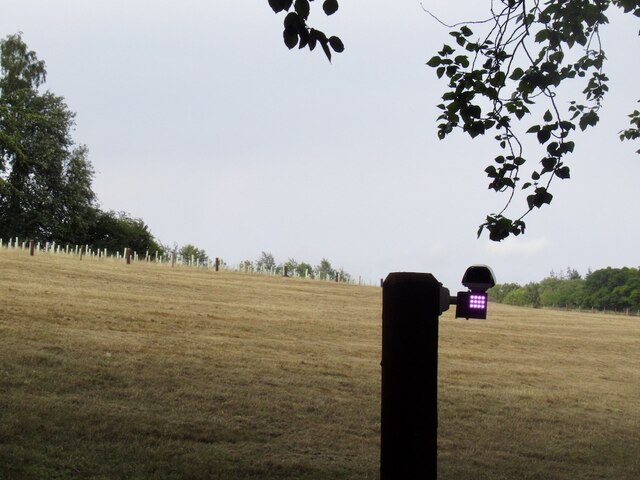
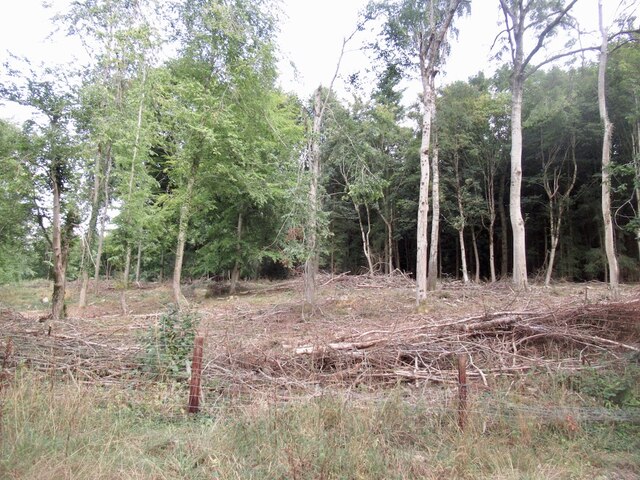
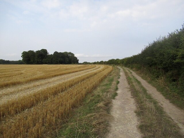
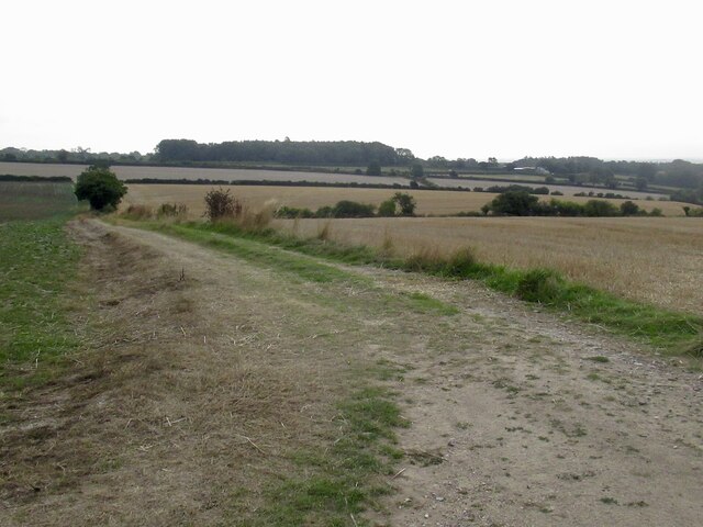
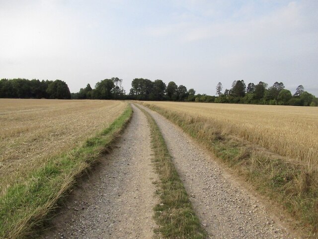
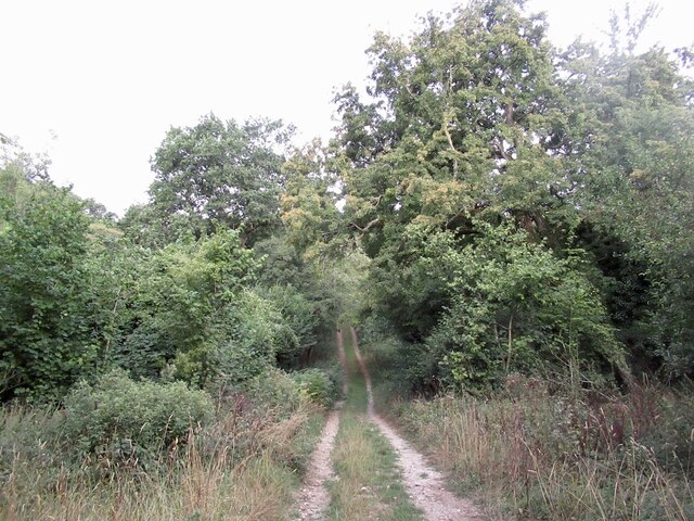
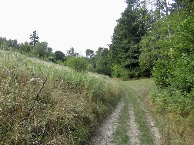
Alner's Coppice is a picturesque woodland located in Dorset, England. Covering an area of approximately 70 acres, this ancient woodland is renowned for its natural beauty and diverse wildlife. The site is designated as a Site of Special Scientific Interest (SSSI) due to its importance for conservation and biodiversity.

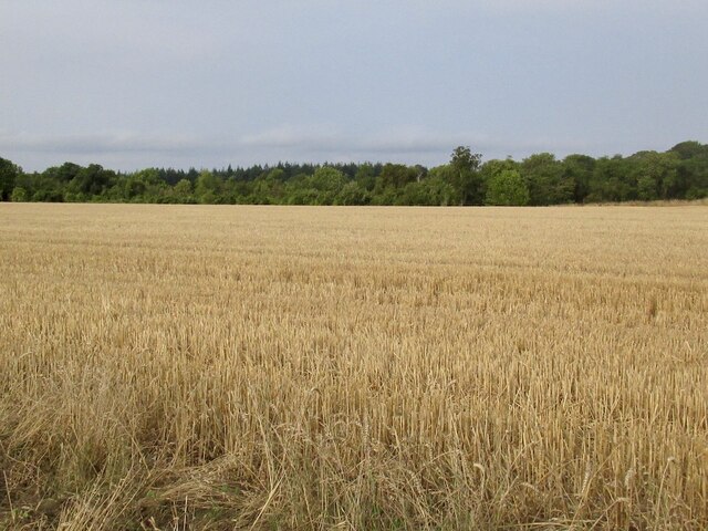
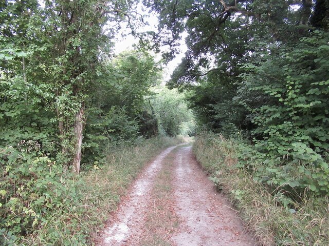
The woodland is predominantly composed of oak, ash, and hazel trees, which create a dense canopy overhead, allowing only dappled sunlight to filter through. This creates a unique and tranquil atmosphere, making it a popular destination for nature enthusiasts and walkers.

Alner's Coppice is home to a wide variety of flora and fauna. The woodland floor is adorned with a rich carpet of bluebells in the spring, creating a stunning visual spectacle. The area also boasts a diverse range of wildlife, including rare bird species such as nightjars and woodpeckers, as well as small mammals like badgers and foxes. The presence of these creatures adds to the enchanting charm of the woodland.

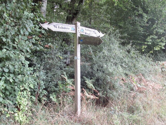
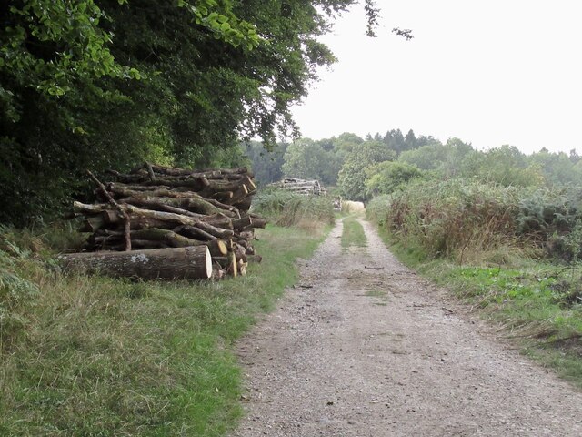
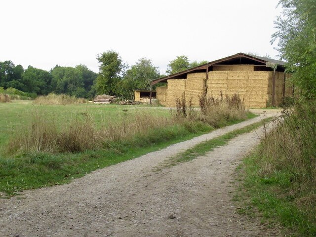
Visitors can explore the network of footpaths and trails that wind through the woodland, providing opportunities to observe the abundant wildlife and enjoy the peaceful surroundings. The site is well-maintained, with clear signposting and information boards to guide visitors and provide educational insights into the flora and fauna found within the woodland.

Alner's Coppice is not only a haven for nature lovers but also serves as an important ecological site, contributing to the conservation efforts in Dorset. Its natural beauty and serene ambiance make it a beloved destination for both locals and tourists seeking a peaceful escape into nature.

If you have any feedback on the listing, please let us know in the comments section below.

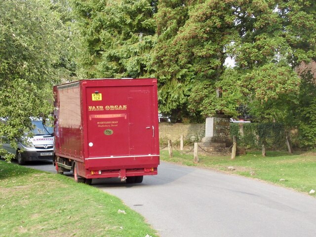
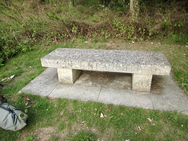
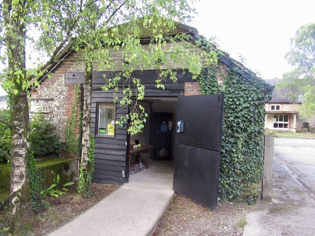
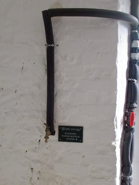
Alner's Coppice Images

Images are sourced within 2km of 50.943285/-2.1310672 or Grid Reference ST9015. Thanks to Geograph Open Source API. All images are credited.

Infra-red lamp Invisible to me - the radiation has insufficient energy to trigger chemical changes in the retina, but can be picked up by the camera. It's by yet another electric gate.
Infra-red lamp
Invisible to me - the radiation has insufficient energy to trigger chemical changes in the retina, but can be picked up by the camera. It's by yet another electric gate.
Great Peaky Coppice
Great Peaky Coppice
Former telephone box, Ashmore Now carrying a defibrillator.
Former telephone box, Ashmore
Now carrying a defibrillator.
Pond, Ashmore It can be a lot bigger.
Pond, Ashmore
It can be a lot bigger.
Fair Organ, Ashmore Felt fitting here.
Fair Organ, Ashmore
Felt fitting here.
Ancient Aquifer A bench on Ashmore's green over looking the pond.
Ancient Aquifer
A bench on Ashmore's green over looking the pond.
Milk and coffee Vending machine and source of water in Ashmore. Very welcome.
Milk and coffee
Vending machine and source of water in Ashmore. Very welcome.
Water source, Ashmore At the shed selling coffee. A very handy find as I was carrying a lot of water from Salisbury. Always a headache in chalk country.
Water source, Ashmore
At the shed selling coffee. A very handy find as I was carrying a lot of water from Salisbury. Always a headache in chalk country.
Farm track, Ashmore
Farm track, Ashmore
Farm track, Ashmore Arable land on a chalk dip slope.
Farm track, Ashmore
Arable land on a chalk dip slope.
Halfpenny Lane A very enjoyable chalk track under a big sky.
Halfpenny Lane
A very enjoyable chalk track under a big sky.
Stubble off Halfpenny Lane
Dorset path sign After the plain, and often absent Wiltshire signage, the flamboyant Dorset ones were quite a surprise.  Dorset suffers less from the horrible ableist English path restrictions than most places and is a great place to visit if you cannot backpack on foot anymore. There is always a feeling of having saved yourself a ferry fare, and the beer's better than further south.
Dorset path sign
After the plain, and often absent Wiltshire signage, the flamboyant Dorset ones were quite a surprise. Dorset suffers less from the horrible ableist English path restrictions than most places and is a great place to visit if you cannot backpack on foot anymore. There is always a feeling of having saved yourself a ferry fare, and the beer's better than further south.
Halfpenny Lane, south of Ashmore
Farm road near Ashmore Leads into a forest off Halfpenny Lane.
Farm road near Ashmore
Leads into a forest off Halfpenny Lane.
Road into Stony Bottom A chalk woodland track.
Road into Stony Bottom
A chalk woodland track.
Road, Stony Bottom What they call gravel riding now. I prefer bigger tyres than those currently fashionble - not all tracks are as kind as this and narrower tyres cut up the ground which helps promote restrictions.  However there is a serpent or two in this Eden, one of which are the small flints that shred inner tubes. Many ride tubeless now. I got all the way unscathed!
Road, Stony Bottom
What they call gravel riding now. I prefer bigger tyres than those currently fashionble - not all tracks are as kind as this and narrower tyres cut up the ground which helps promote restrictions. However there is a serpent or two in this Eden, one of which are the small flints that shred inner tubes. Many ride tubeless now. I got all the way unscathed!
Stony Bottom Typical dry dip slope valley of chalkland. Familiar from the similar Silurian limestone ridges in Shropshire and Herefordshire. The glorious descent from the summit of Win Green continues.
Stony Bottom
Typical dry dip slope valley of chalkland. Familiar from the similar Silurian limestone ridges in Shropshire and Herefordshire. The glorious descent from the summit of Win Green continues.
Show me another place!

Alner's Coppice is located at Grid Ref: ST9015 (Lat: 50.943285, Lng: -2.1310672)

Unitary Authority: Dorset

Police Authority: Dorset

What 3 Words

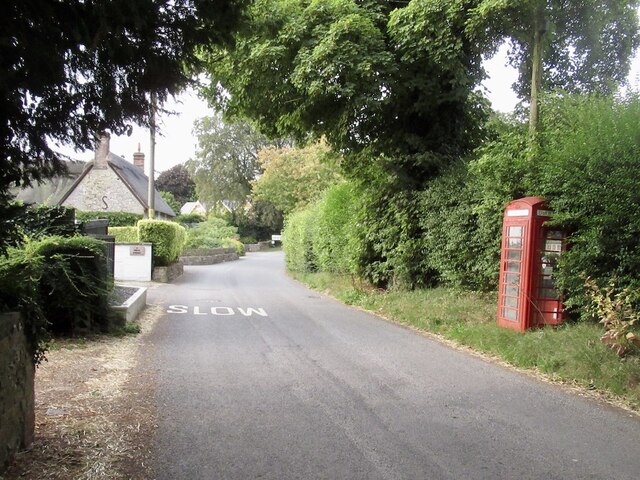
///blurts.sandbags.degree. Near Pimperne, Dorset

Related Wikis

Ashmore

Ashmore is a village and civil parish in the North Dorset district of Dorset, England, 20 miles (32 kilometres) southwest of Salisbury. The village is...

Compton Abbas Airfield

Compton Abbas Airfield (IATA: n/a, ICAO: EGHA) is a grass airstrip 2.7 NM (5.0 km; 3.1 mi) south of Shaftesbury, Dorset, England. Compton Abbas Aerodrome...

Melbury Down

Melbury Down is an area of downland in northern Dorset, England. It is owned by the National Trust. The chalk grassland here supports large butterfly populations...

Larmer Tree Festival

Larmer Tree Festival was a three-day music, comedy and arts festival held annually from 1990 until 2019 at the Larmer Tree Gardens, near Tollard Royal...

Larmer Tree Gardens

The Larmer Tree Gardens near Tollard Royal in south Wiltshire, England, were created by landowner Augustus Pitt Rivers in 1880 as pleasure grounds for...

Tarrant Gunville

Tarrant Gunville is a village and civil parish in north Dorset, England, situated at the head of the Tarrant Valley on Cranborne Chase five miles (eight...

King John's House, Tollard Royal

King John's House is a former manor house in the south Wiltshire village of Tollard Royal, England. Just south of the church, the building has at its core...

Tollard Royal

Tollard Royal is a village and civil parish on Cranborne Chase, Wiltshire, England. The parish is on Wiltshire's southern boundary with Dorset and the...

Have you been to Alner's Coppice?

Leave your review of Alner's Coppice below (or comments, questions and feedback).