Higher Downend Coppice
Wood, Forest in Dorset
England
Higher Downend Coppice
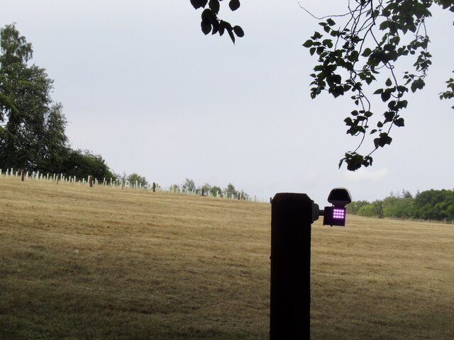
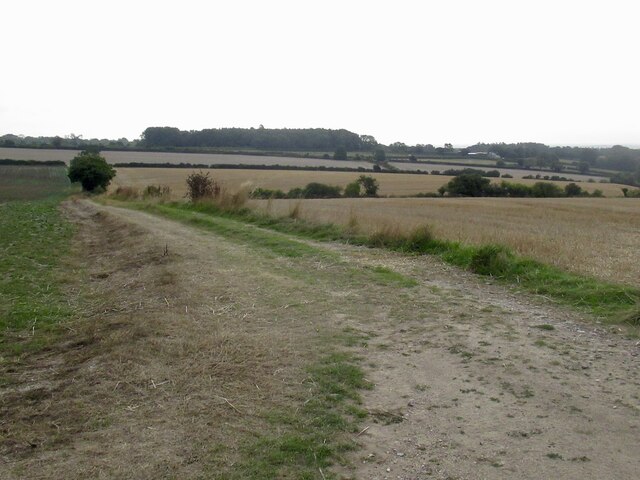
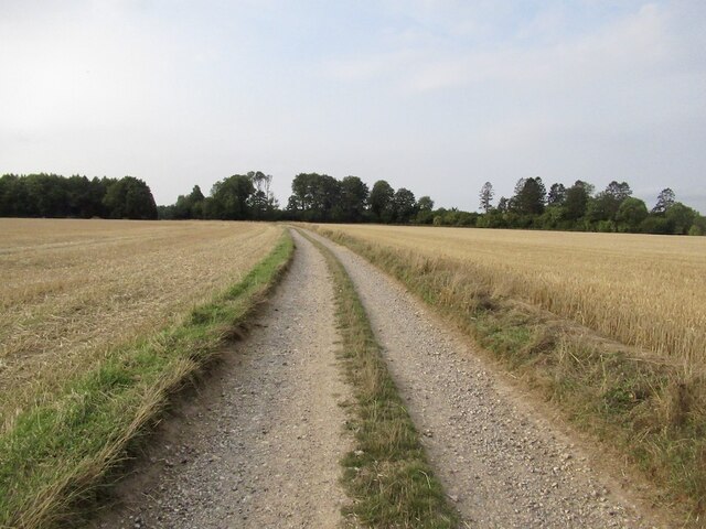
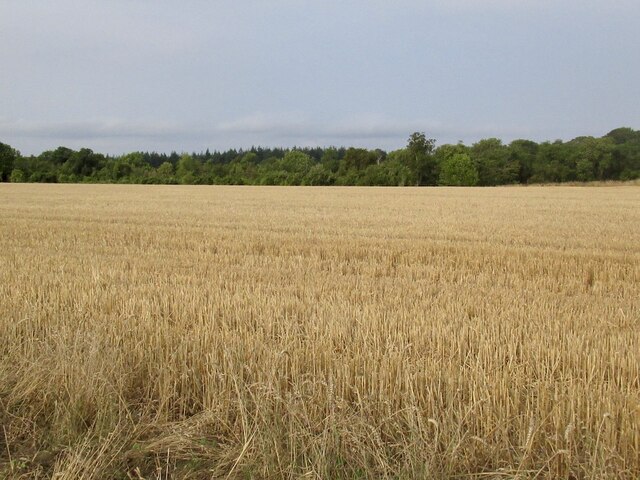
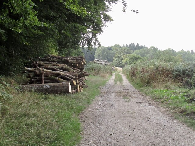
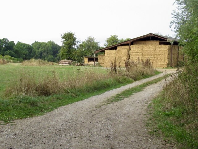
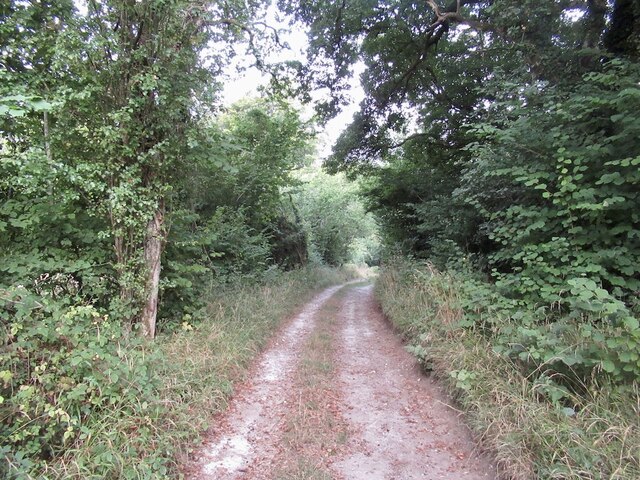
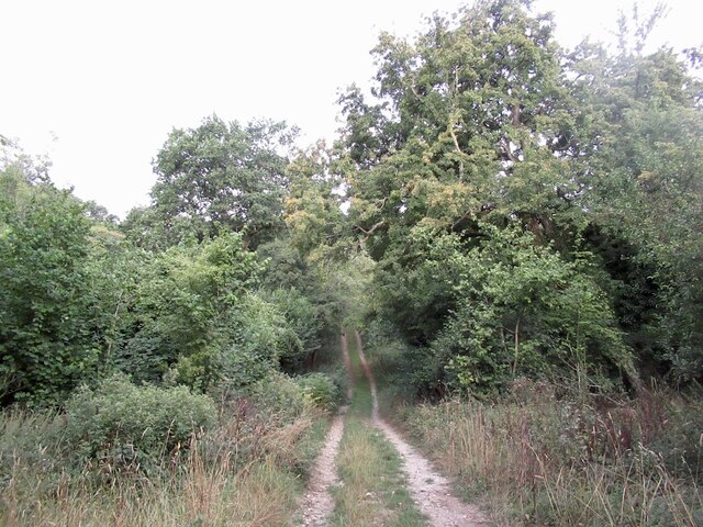
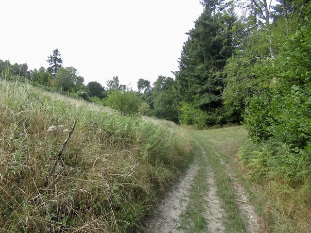
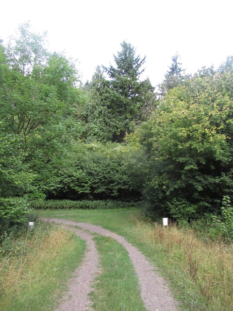
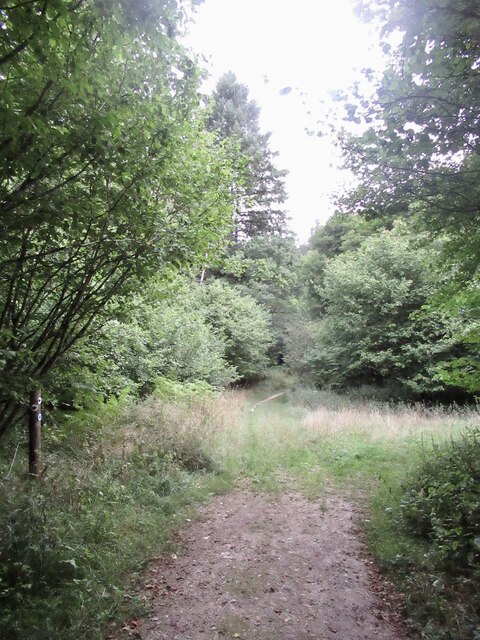
Higher Downend Coppice is a woodland area located in Dorset, England. It is a beautiful and diverse forest covering approximately 100 acres of land. The coppice is situated on a gentle slope, providing stunning views of the surrounding countryside.
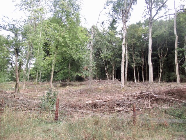
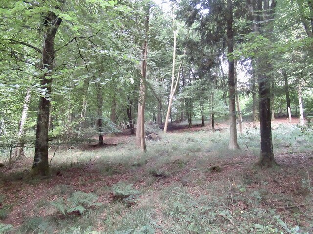
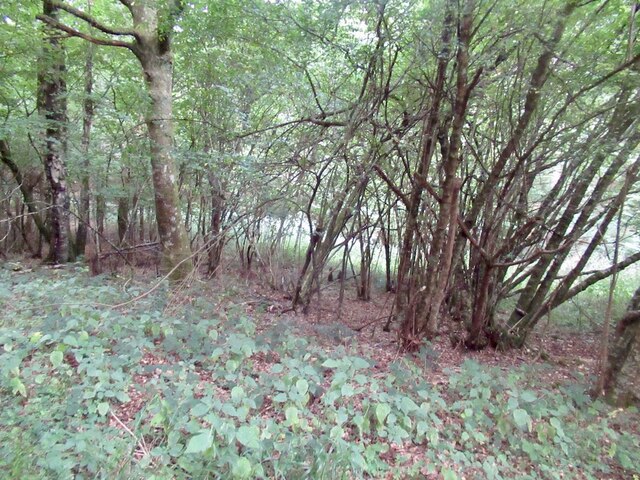
The woodland consists mainly of broadleaf trees, such as oak, beech, and ash, creating a rich and vibrant ecosystem. These trees provide a dense canopy, giving shelter to a wide variety of wildlife, including deer, foxes, and a plethora of bird species. The forest floor is covered in a lush carpet of ferns, mosses, and wildflowers, adding to the overall beauty of the area.
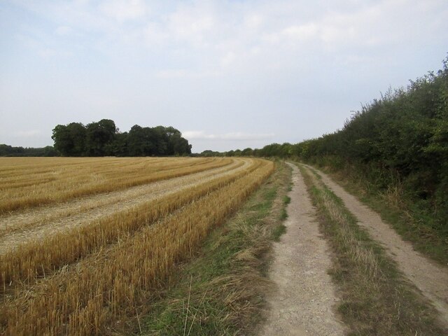
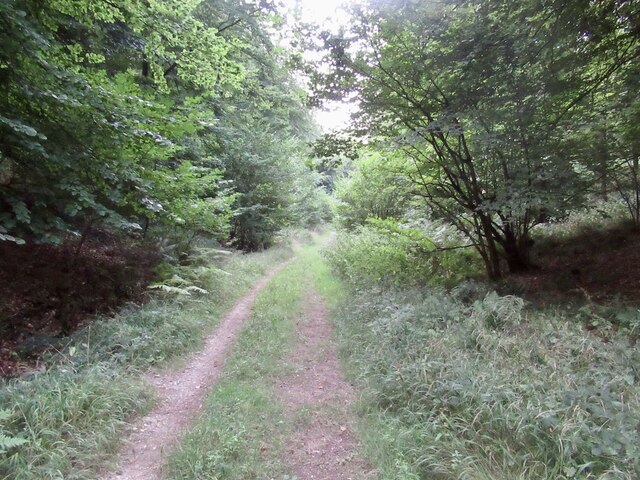
Higher Downend Coppice is a popular destination for nature enthusiasts and hikers alike. There are several well-maintained trails that wind through the woods, allowing visitors to explore and appreciate the natural surroundings. These trails offer a peaceful and tranquil environment, making it an ideal spot for those seeking solitude and relaxation in nature.
The woodland also has historical significance, with evidence of human activity dating back centuries. Remnants of old stone walls and ancient pathways can be found throughout the coppice, providing a glimpse into the past.
Overall, Higher Downend Coppice is a stunning and biodiverse woodland in Dorset. With its breathtaking views, rich wildlife, and well-preserved trails, it is a must-visit destination for anyone seeking a connection with nature and a peaceful retreat from the hustle and bustle of everyday life.
If you have any feedback on the listing, please let us know in the comments section below.
Higher Downend Coppice Images
Images are sourced within 2km of 50.938428/-2.1396638 or Grid Reference ST9015. Thanks to Geograph Open Source API. All images are credited.
Higher Downend Coppice is located at Grid Ref: ST9015 (Lat: 50.938428, Lng: -2.1396638)
Unitary Authority: Dorset
Police Authority: Dorset
What 3 Words
///baseless.used.prelude. Near Pimperne, Dorset
Related Wikis

Ashmore
Ashmore is a village and civil parish in the North Dorset district of Dorset, England, 20 miles (32 kilometres) southwest of Salisbury. The village is...

Compton Abbas Airfield
Compton Abbas Airfield (IATA: n/a, ICAO: EGHA) is a grass airstrip 2.7 NM (5.0 km; 3.1 mi) south of Shaftesbury, Dorset, England. Compton Abbas Aerodrome...

Tarrant Gunville
Tarrant Gunville is a village and civil parish in north Dorset, England, situated at the head of the Tarrant Valley on Cranborne Chase five miles (eight...

Iwerne Minster
Iwerne Minster ( YOO-ern) is a village and civil parish in Dorset, England. It lies on the edge of the Blackmore Vale, approximately midway between the...

Melbury Down
Melbury Down is an area of downland in northern Dorset, England. It is owned by the National Trust. The chalk grassland here supports large butterfly populations...

Fontmell Magna
Fontmell Magna is a village and civil parish in Dorset, England. It is situated in the Blackmore Vale, close to the chalk hills of Cranborne Chase, on...

Eastbury Park
Eastbury Park was a country estate near Tarrant Gunville in Dorset, England. It contained a large mansion designed by Sir John Vanbrugh. The mansion has...
Clayesmore School
Clayesmore School is an independent school for boys and girls, aged 8 – 18 years, in the village of Iwerne Minster, Dorset, England. It is both a day...
Have you been to Higher Downend Coppice?
Leave your review of Higher Downend Coppice below (or comments, questions and feedback).