Stubhampton Bottom

Valley in Dorset

England

Stubhampton Bottom

Infra-red lamp Invisible to me - the radiation has insufficient energy to trigger chemical changes in the retina, but can be picked up by the camera. It's by yet another electric gate.
Infra-red lamp Credit: Richard Webb

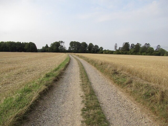
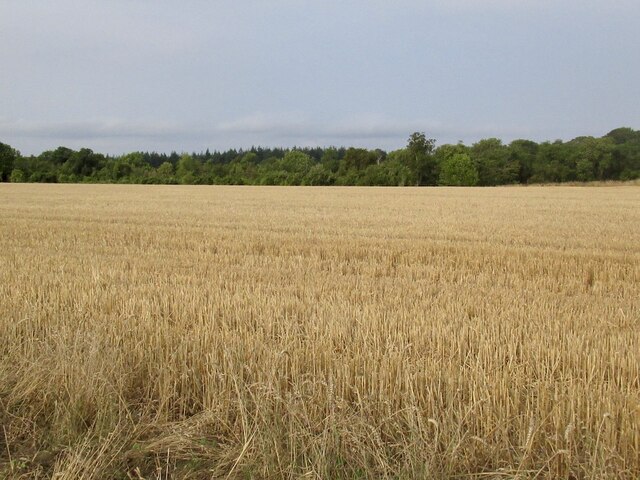
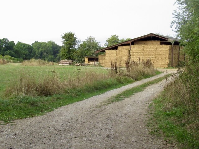
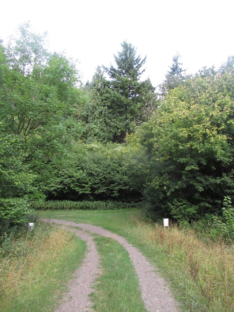
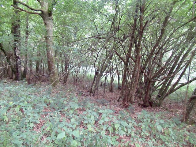
Stubhampton Bottom is a picturesque valley located in the county of Dorset, England. It is situated near the village of Stubhampton and is known for its natural beauty and peaceful atmosphere. The valley is flanked by rolling hills covered in lush greenery, creating a stunning backdrop for visitors.

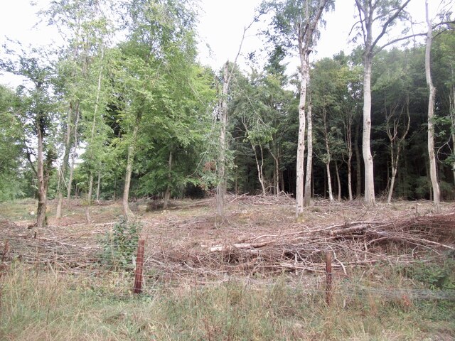
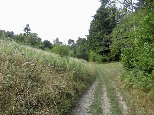
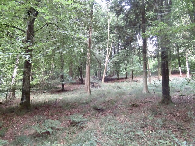
The valley is home to a diverse range of flora and fauna, making it a haven for nature lovers and wildlife enthusiasts. The surrounding woodlands are teeming with ancient trees, including oak and beech, and are a haven for a variety of bird species, such as woodpeckers and owls.

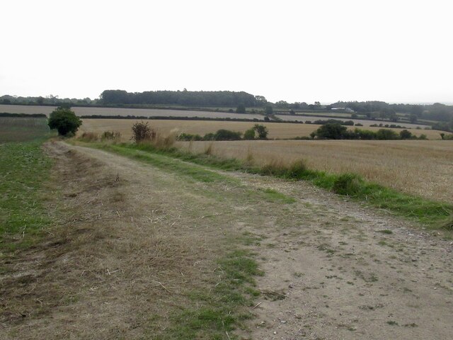
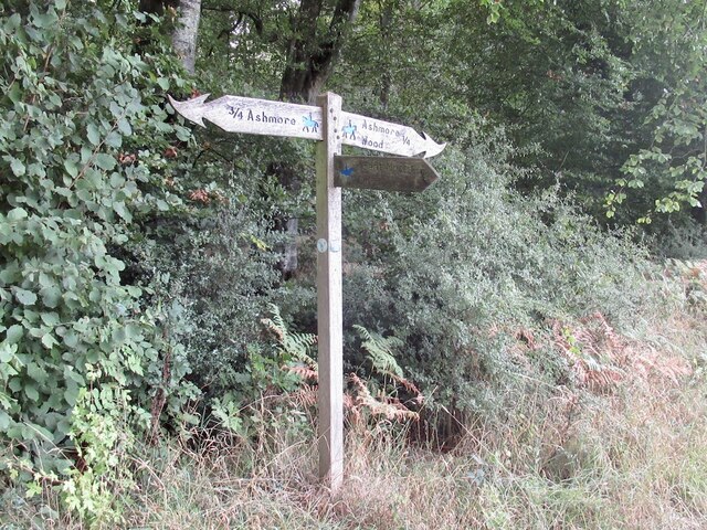
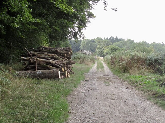
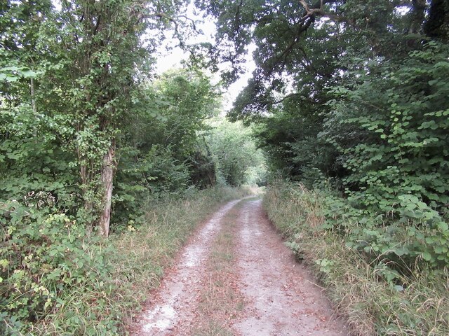
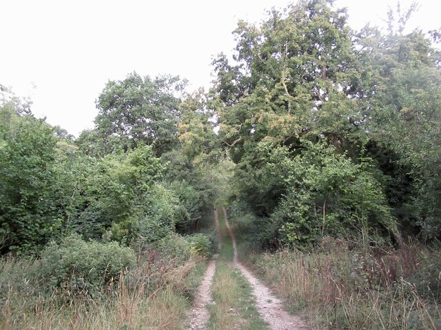
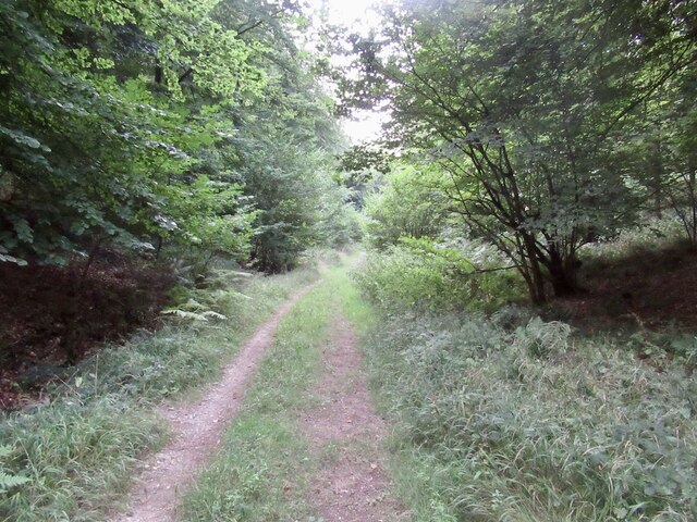
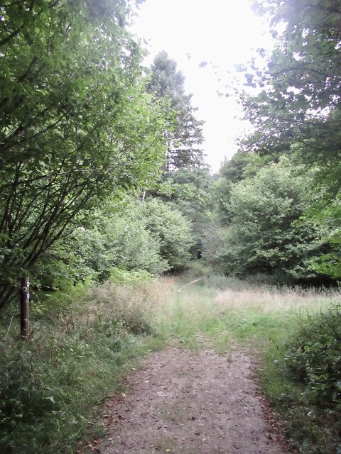
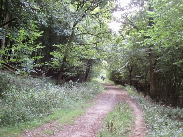
There are several walking trails that crisscross through the valley, offering visitors the opportunity to explore its scenic beauty. These trails lead to idyllic spots, including a babbling brook that meanders through the valley, providing a tranquil setting for picnics or simply enjoying the sound of running water.

Stubhampton Bottom also has historical significance, with several archaeological sites located in the vicinity. These sites date back to the Iron Age, and artifacts discovered in the area provide insight into the lives of the ancient inhabitants of the valley.

Visitors to Stubhampton Bottom can expect a serene and untouched natural environment, perfect for those seeking a respite from the hustle and bustle of modern life. With its stunning landscapes, diverse wildlife, and historical significance, Stubhampton Bottom is a hidden gem in the Dorset countryside.

If you have any feedback on the listing, please let us know in the comments section below.

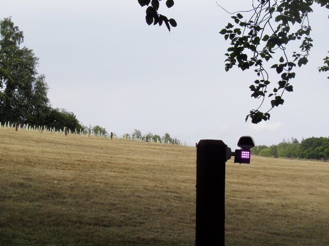
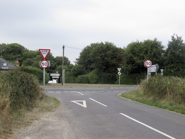
Stubhampton Bottom Images

Images are sourced within 2km of 50.935398/-2.1391709 or Grid Reference ST9015. Thanks to Geograph Open Source API. All images are credited.

Infra-red lamp Invisible to me - the radiation has insufficient energy to trigger chemical changes in the retina, but can be picked up by the camera. It's by yet another electric gate.
Infra-red lamp
Invisible to me - the radiation has insufficient energy to trigger chemical changes in the retina, but can be picked up by the camera. It's by yet another electric gate.
Great Peaky Coppice
Great Peaky Coppice
Crossroads, Hill Farm Approaching a very busy minor road.
Crossroads, Hill Farm
Approaching a very busy minor road.
Farm track, Ashmore Arable land on a chalk dip slope.
Farm track, Ashmore
Arable land on a chalk dip slope.
Halfpenny Lane A very enjoyable chalk track under a big sky.
Halfpenny Lane
A very enjoyable chalk track under a big sky.
Stubble off Halfpenny Lane
Dorset path sign After the plain, and often absent Wiltshire signage, the flamboyant Dorset ones were quite a surprise.  Dorset suffers less from the horrible ableist English path restrictions than most places and is a great place to visit if you cannot backpack on foot anymore. There is always a feeling of having saved yourself a ferry fare, and the beer's better than further south.
Dorset path sign
After the plain, and often absent Wiltshire signage, the flamboyant Dorset ones were quite a surprise. Dorset suffers less from the horrible ableist English path restrictions than most places and is a great place to visit if you cannot backpack on foot anymore. There is always a feeling of having saved yourself a ferry fare, and the beer's better than further south.
Halfpenny Lane, south of Ashmore
Farm road near Ashmore Leads into a forest off Halfpenny Lane.
Farm road near Ashmore
Leads into a forest off Halfpenny Lane.
Road into Stony Bottom A chalk woodland track.
Road into Stony Bottom
A chalk woodland track.
Road, Stony Bottom What they call gravel riding now. I prefer bigger tyres than those currently fashionble - not all tracks are as kind as this and narrower tyres cut up the ground which helps promote restrictions.  However there is a serpent or two in this Eden, one of which are the small flints that shred inner tubes. Many ride tubeless now. I got all the way unscathed!
Road, Stony Bottom
What they call gravel riding now. I prefer bigger tyres than those currently fashionble - not all tracks are as kind as this and narrower tyres cut up the ground which helps promote restrictions. However there is a serpent or two in this Eden, one of which are the small flints that shred inner tubes. Many ride tubeless now. I got all the way unscathed!
Stony Bottom Typical dry dip slope valley of chalkland. Familiar from the similar Silurian limestone ridges in Shropshire and Herefordshire. The glorious descent from the summit of Win Green continues.
Stony Bottom
Typical dry dip slope valley of chalkland. Familiar from the similar Silurian limestone ridges in Shropshire and Herefordshire. The glorious descent from the summit of Win Green continues.
Bottom of Stony Bottom Track coming in from Ashmore Wood.
Bottom of Stony Bottom
Track coming in from Ashmore Wood.
Stony Bottom, Ashmore Wood
Path, Stony Bottom An old road, there is a modern gravel track to the west across the winterbourne.
Path, Stony Bottom
An old road, there is a modern gravel track to the west across the winterbourne.
Path, Stubhampton Bottom Big dip slope reentrant meeting point - Stony Bottom joins Stubhampton Bottom
Path, Stubhampton Bottom
Big dip slope reentrant meeting point - Stony Bottom joins Stubhampton Bottom
Coppice, Ashmore Wood
Track, Stubhampton Bottom
Show me another place!

Stubhampton Bottom is located at Grid Ref: ST9015 (Lat: 50.935398, Lng: -2.1391709)

Unitary Authority: Dorset

Police Authority: Dorset

What 3 Words

///wreck.piston.necklace. Near Pimperne, Dorset

Related Wikis

Ashmore

Ashmore is a village and civil parish in the North Dorset district of Dorset, England, 20 miles (32 kilometres) southwest of Salisbury. The village is...

Tarrant Gunville

Tarrant Gunville is a village and civil parish in north Dorset, England, situated at the head of the Tarrant Valley on Cranborne Chase five miles (eight...

Compton Abbas Airfield

Compton Abbas Airfield (IATA: n/a, ICAO: EGHA) is a grass airstrip 2.7 NM (5.0 km; 3.1 mi) south of Shaftesbury, Dorset, England. Compton Abbas Aerodrome...

Iwerne Minster

Iwerne Minster ( YOO-ern) is a village and civil parish in Dorset, England. It lies on the edge of the Blackmore Vale, approximately midway between the...

Eastbury Park

Eastbury Park was a country estate near Tarrant Gunville in Dorset, England. It contained a large mansion designed by Sir John Vanbrugh. The mansion has...

Iwerne Stepleton

Iwerne Stepleton (anciently Ewern Stapleton, etc.) is a small civil parish and former manor in the county of Dorset, England. The parish comprises about...

Clayesmore School

Clayesmore School is an independent school for boys and girls, aged 8 – 18 years, in the village of Iwerne Minster, Dorset, England. It is both a day...

Fontmell Magna

Fontmell Magna is a village and civil parish in Dorset, England. It is situated in the Blackmore Vale, close to the chalk hills of Cranborne Chase, on...

Have you been to Stubhampton Bottom?

Leave your review of Stubhampton Bottom below (or comments, questions and feedback).