Coppice Wood
Wood, Forest in Staffordshire Stafford
England
Coppice Wood

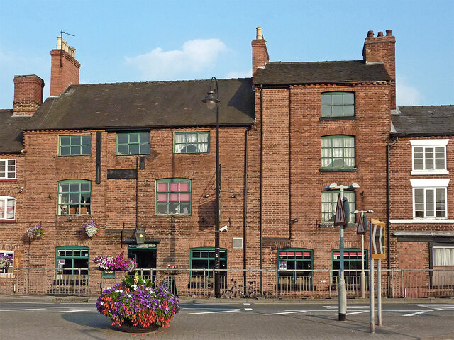
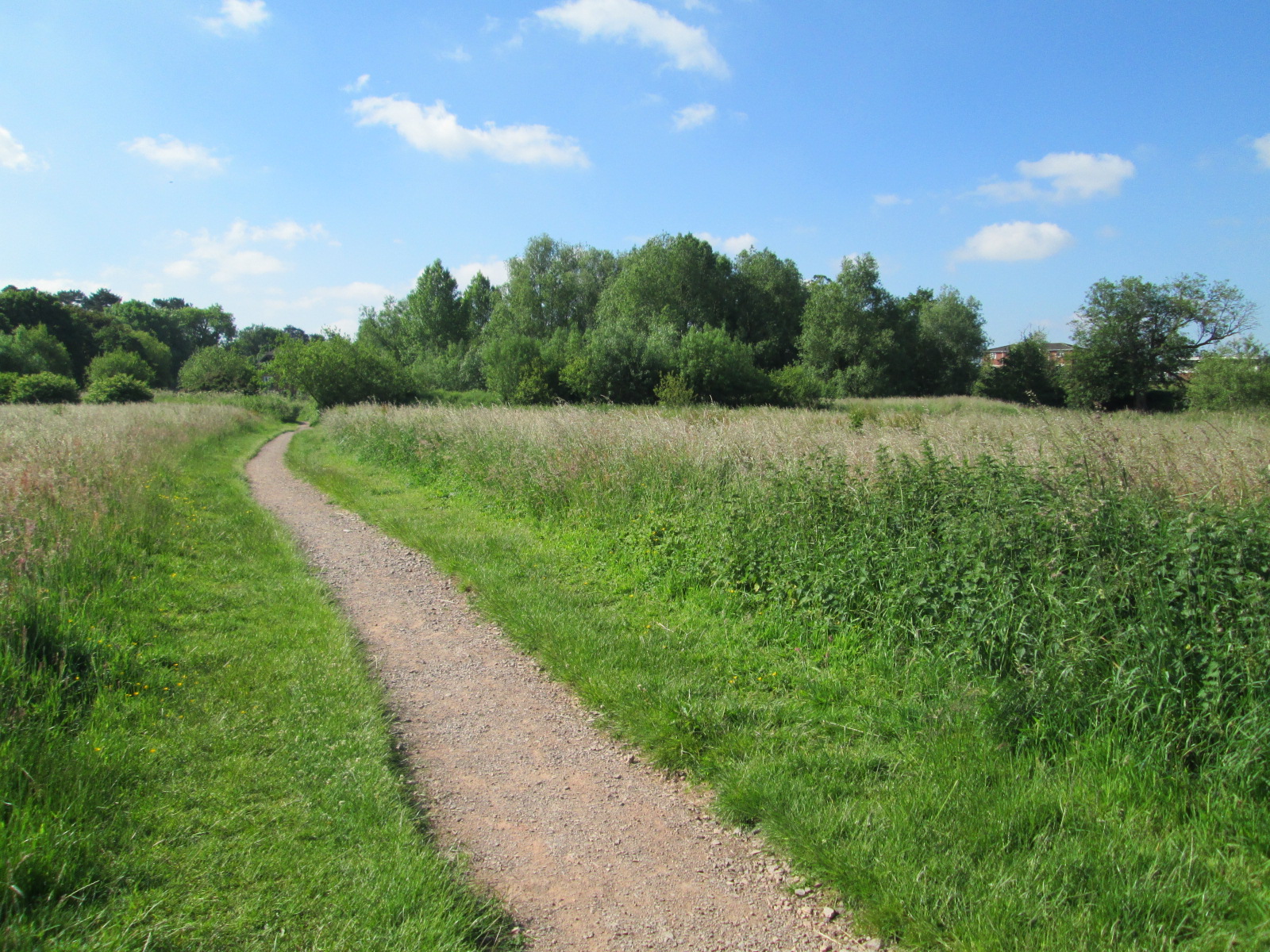
Coppice Wood is a picturesque forest located in the county of Staffordshire in England. Spanning an area of approximately 200 acres, it is known for its diverse flora and fauna, making it a popular destination for nature lovers and outdoor enthusiasts.
The wood is primarily composed of deciduous trees, including oak, birch, and ash, which provide a stunning display of colors throughout the year. In spring, the forest floor is adorned with a carpet of bluebells, creating a truly enchanting sight. The dense vegetation also provides a habitat for a variety of wildlife, such as deer, foxes, and a wide range of bird species, making it a haven for birdwatchers and wildlife photographers.
Visitors to Coppice Wood can explore the numerous walking trails that wind through the forest, offering breathtaking views and opportunities for peaceful contemplation. The wood is also home to a small lake, which adds to its natural beauty and attracts anglers and birdlife alike.
In addition to its natural attractions, Coppice Wood offers amenities for visitors, including picnic areas, benches, and information boards highlighting the history and ecological importance of the area. The wood is well-maintained, with clear paths and signposts, ensuring a safe and enjoyable experience for visitors of all ages.
Coppice Wood truly encapsulates the beauty of the Staffordshire countryside, offering a tranquil escape from the bustling city life. Whether it's a leisurely stroll, a picnic with family and friends, or a chance to immerse oneself in nature, this forest provides an idyllic setting for all to enjoy.
If you have any feedback on the listing, please let us know in the comments section below.
Coppice Wood Images
Images are sourced within 2km of 52.910729/-2.1369384 or Grid Reference SJ9034. Thanks to Geograph Open Source API. All images are credited.


Coppice Wood is located at Grid Ref: SJ9034 (Lat: 52.910729, Lng: -2.1369384)
Administrative County: Staffordshire
District: Stafford
Police Authority: Staffordshire
What 3 Words
///spooked.roughness.paying. Near Stone, Staffordshire
Nearby Locations
Related Wikis

St Dominic's Priory School, Stone
St Dominic's Priory School is an independent Catholic day school in the town of Stone, Staffordshire, halfway between Stoke-on-Trent and Stafford. The...
Alleyne's Academy
Alleyne's Academy (formerly Alleyne's High School) is a coeducational secondary school and sixth form with academy status. It is located in Stone, Staffordshire...
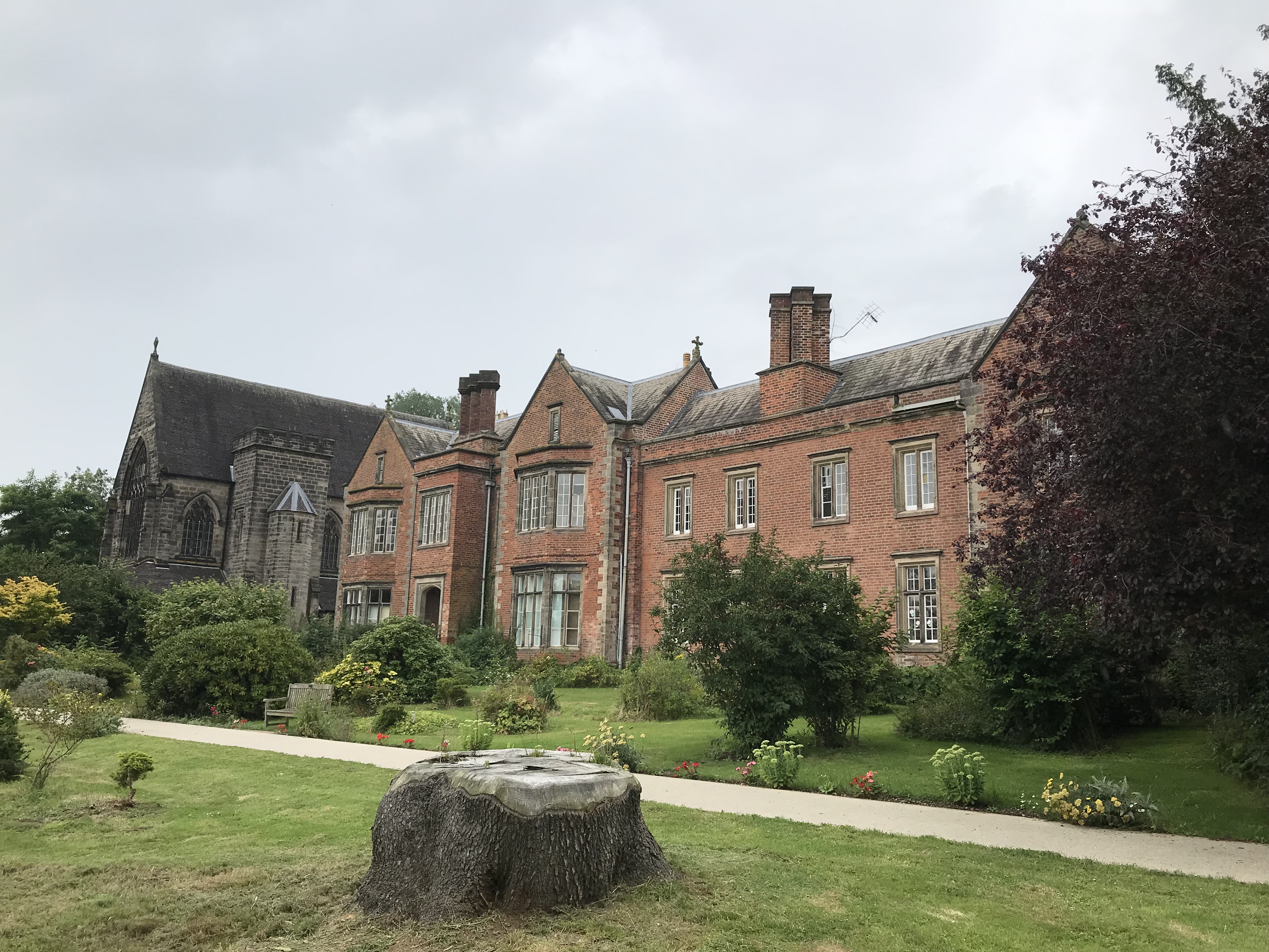
Oulton Abbey
St Mary's Abbey, Oulton is a former Benedictine convent located in the village of Oulton near Stone in Staffordshire, England. The Abbey church is Grade...

Stone Priory
Stone Priory was a priory founded at Stone in Staffordshire, England, in about 670 AD. The priory's church was dedicated to Saint Mary and Saint Wulfad...

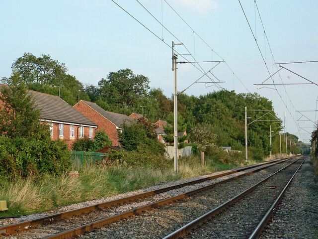
Stone railway station
Stone railway station serves the market town of Stone, Staffordshire, England. The station is located on a junction of the Colwich to Manchester spur of...
Stone Meadows
Stone Meadows is a local nature reserve adjacent to Stone, in Staffordshire, England. There are three separate meadows by the River Trent. Goodall Meadow...
Lichfield Road, Stone
Lichfield Road is a cricket ground in Stone, Staffordshire. The ground was established in 1948, when Staffordshire played Buckinghamshire in the grounds...

Stone, Staffordshire
Stone is a market town and civil parish in Staffordshire, England, situated approximately 7 miles (11 km) north of the county town of Stafford, 7 miles...
Nearby Amenities
Located within 500m of 52.910729,-2.1369384Have you been to Coppice Wood?
Leave your review of Coppice Wood below (or comments, questions and feedback).