Langber Wood

Wood, Forest in Yorkshire Craven

England

Langber Wood

Ordnance Survey Cut Mark This mark can be found on a field entrance gatepost at Hawber Hill.
The benchmark has a recorded height of 153.412 metres above sea level.
For more detail see : <span class="nowrap"><a title="https://www.bench-marks.org.uk/bm112478" rel="nofollow ugc noopener" href="https://www.bench-marks.org.uk/bm112478">Link</a><img style="margin-left:2px;" alt="External link" title="External link - shift click to open in new window" src="https://s1.geograph.org.uk/img/external.png" width="10" height="10"/></span>
Ordnance Survey Cut Mark Credit: Peter Wood

Langber Wood is a picturesque woodland located in the county of Yorkshire, England. Situated near the village of Langber, the wood covers an area of approximately 100 hectares and is known for its diverse range of flora and fauna, making it a popular destination for nature enthusiasts and walkers alike.

The wood is characterized by a mixture of deciduous and coniferous trees, including oak, beech, birch, and pine. The dense canopy created by these trees provides shade and shelter for a variety of wildlife, such as red deer, roe deer, badgers, and foxes. The wood is also home to a rich bird population, with species such as woodpeckers, owls, and various songbirds frequently spotted.

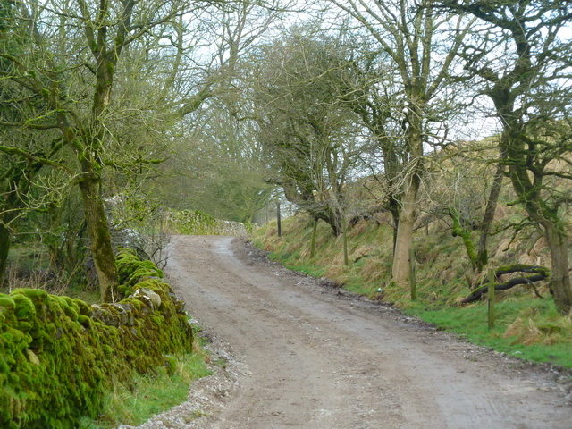
Langber Wood offers a network of well-maintained footpaths, allowing visitors to explore its natural beauty at their own pace. The pathways wind through the wood, leading visitors past babbling brooks, tranquil ponds, and secluded clearings. The wood also boasts several picnic areas, providing a perfect spot to rest and enjoy the peaceful surroundings.

In addition to its natural beauty, Langber Wood has a rich history. It is believed to have been used as a hunting ground during medieval times and has remnants of ancient boundary walls and ditches. The wood has also played a role in local folklore, with stories of mystical creatures and hidden treasures adding to its allure.

Overall, Langber Wood is a captivating woodland in Yorkshire that offers a tranquil escape from the hustle and bustle of everyday life. Its diverse ecosystems, scenic trails, and rich history make it a must-visit destination for nature lovers and history enthusiasts alike.

If you have any feedback on the listing, please let us know in the comments section below.
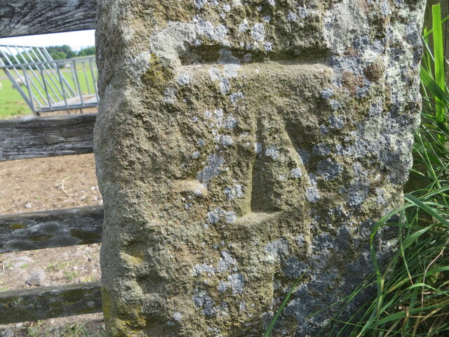
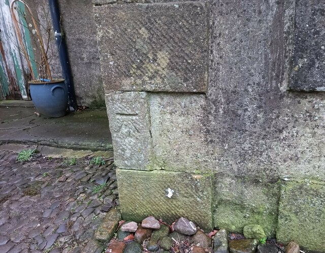
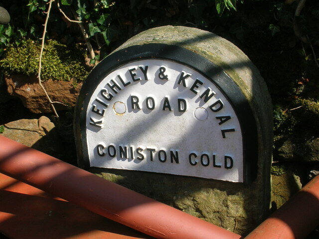
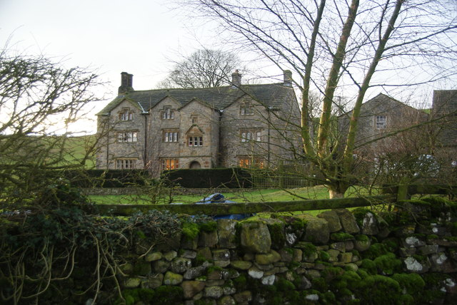
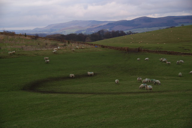
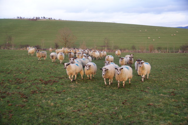
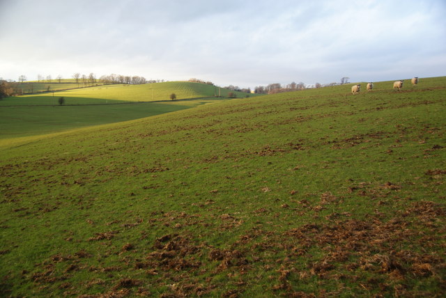
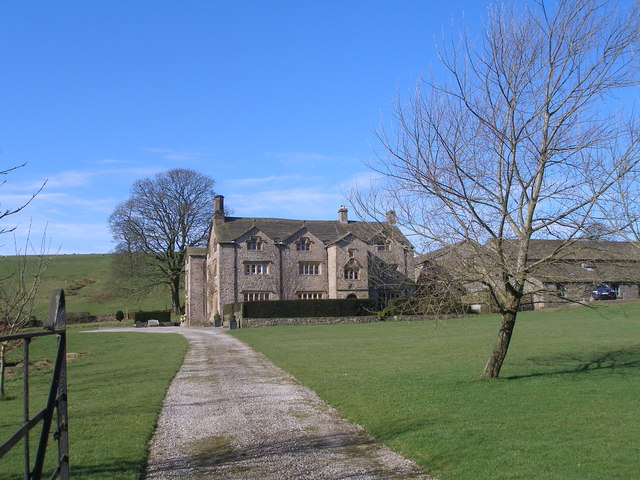
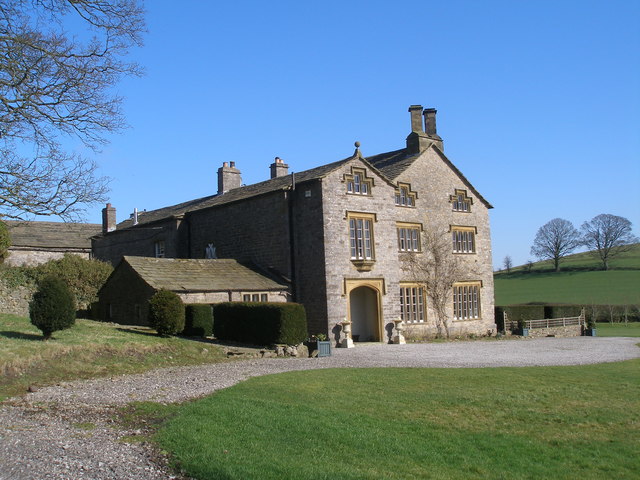
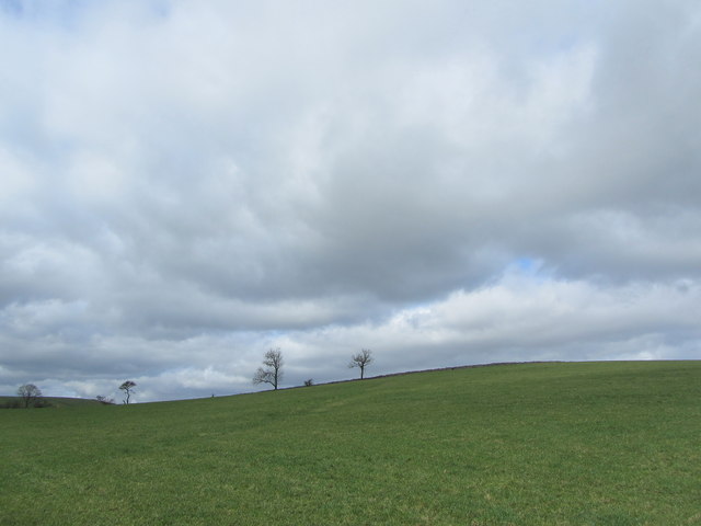
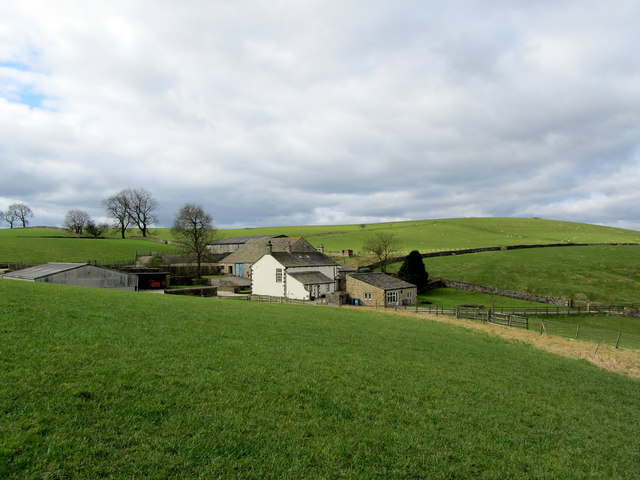
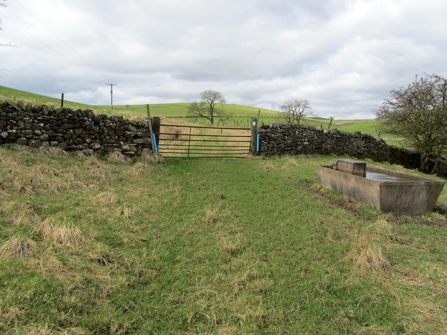
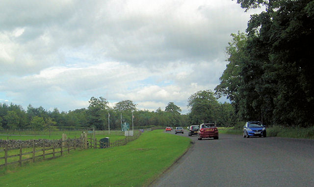
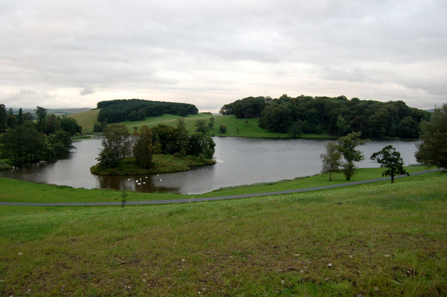
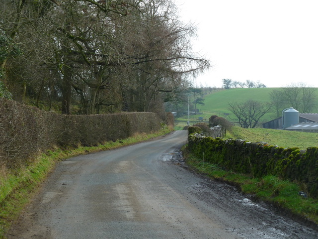
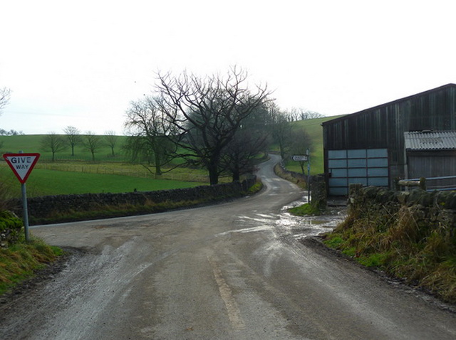
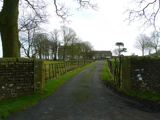
Langber Wood Images

Images are sourced within 2km of 53.980864/-2.158408 or Grid Reference SD8953. Thanks to Geograph Open Source API. All images are credited.

Ordnance Survey Cut Mark This mark can be found on a field entrance gatepost at Hawber Hill.
The benchmark has a recorded height of 153.412 metres above sea level.
For more detail see : <span class="nowrap"><a title="https://www.bench-marks.org.uk/bm112478" rel="nofollow ugc noopener" href="https://www.bench-marks.org.uk/bm112478">Link</a><img style="margin-left:2px;" alt="External link" title="External link - shift click to open in new window" src="https://s1.geograph.org.uk/img/external.png" width="10" height="10"/></span>
Ordnance Survey Cut Mark
This mark can be found on a field entrance gatepost at Hawber Hill. The benchmark has a recorded height of 153.412 metres above sea level. For more detail see : LinkExternal link
West Marton, Stainton Hall The benchmark is cut into a left cornerstone of an outbuilding adjacent to the hall.
West Marton, Stainton Hall
The benchmark is cut into a left cornerstone of an outbuilding adjacent to the hall.
Old milestone This top section and part of the backing stone of the WRCC milestone that once stood west of Coniston Cold on the A65 was found some years ago by a collector who has a small museum in Kings Meaburn  (NY62402075).  The lost sides would have had SKIPTON/6¾ MILES/KEIGHLEY/16 MILES and SETTLE/8¾ MILES/KENDAL/38 MILES.   it is not known which side of the road it once stood.
Old milestone
This top section and part of the backing stone of the WRCC milestone that once stood west of Coniston Cold on the A65 was found some years ago by a collector who has a small museum in Kings Meaburn (NY62402075). The lost sides would have had SKIPTON/6¾ MILES/KEIGHLEY/16 MILES and SETTLE/8¾ MILES/KENDAL/38 MILES. it is not known which side of the road it once stood.
Ingthorpe Grange Taken as the winter light is fading.
Ingthorpe Grange
Taken as the winter light is fading.
Sheep on Great Pasture Hill With views towards the southern Yorkshire Dales. This was taken as the light was beginning to fade.
Sheep on Great Pasture Hill
With views towards the southern Yorkshire Dales. This was taken as the light was beginning to fade.
Sheep following me They must have thought I was bringing food.
Sheep following me
They must have thought I was bringing food.
Evening sun near Ingthorpe Grange The sun finally broke out at the end of a consistently grey day. This view is seen from the undefined path which goes in the direction of Bank Newton.
Evening sun near Ingthorpe Grange
The sun finally broke out at the end of a consistently grey day. This view is seen from the undefined path which goes in the direction of Bank Newton.
Ingthorpe Grange
Ingthorpe Grange
Ingthorpe Grange
Ingthorpe Grange
Pot Haw Hill One of several grass covered drumlins that abound in this area
Pot Haw Hill
One of several grass covered drumlins that abound in this area
Kelber Farm Farming operation hidden between a series of grass covered drumlins just south of the A65 road between Hellifield and Coniston Cold.
Kelber Farm
Farming operation hidden between a series of grass covered drumlins just south of the A65 road between Hellifield and Coniston Cold.
Footpath approaching Kelber Little used footpath approaching a rusty gate, just beyond which is Kelber Farm.
Footpath approaching Kelber
Little used footpath approaching a rusty gate, just beyond which is Kelber Farm.
Entrance to Coniston Hall Hotel from A65
Coniston Lake Lake at the rear of the Coniston Hotel, Coniston Cold, Gargrave
Coniston Lake
Lake at the rear of the Coniston Hotel, Coniston Cold, Gargrave
Moorber Lane
Moorber Lane
Road near Brightenber Plantation
Road junction northwest of Stainton Hall
Road to Stainton Hall
Show me another place!

Langber Wood is located at Grid Ref: SD8953 (Lat: 53.980864, Lng: -2.158408)

Division: West Riding

Administrative County: North Yorkshire

District: Craven

Police Authority: North Yorkshire

What 3 Words

///sandwich.waged.cocktail. Near Gargrave, North Yorkshire

Related Wikis

Coniston Cold

Coniston Cold is a village and civil parish in the Craven district of North Yorkshire, England. Historically part of the Staincliffe Wapentake of the West...

A65 road

The A65 is a major road in England. It runs north west from Leeds in West Yorkshire via Kirkstall, Horsforth, Yeadon, Guiseley, Ilkley and Skipton, west...

Bank Newton

Bank Newton is a small settlement and civil parish in the Craven district of North Yorkshire, England. According to the 2001 census the parish had a population...

Newton Grange, Skipton

Newton Grange in Bank Newton, Skipton, in Yorkshire is a Georgian house of historical significance and is Grade II listed on the English Heritage Register...

Related Videos

Khan on holiday

Skipton Coniston hotel.

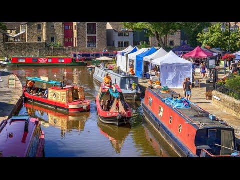
Skipton to Gargrave Leeds Liverpool Canal Walk Narrowboats beautiful summer day 2022 4K HD

A walk along the Leeds Liverpool Canal on the Towpath between Skipton to Gargrave. Filmed 10 July 2022. Any questions or to ...

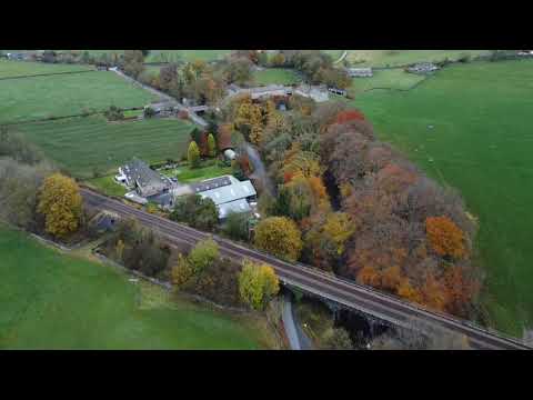
Dji Mini2 Drone in Coniston Cold The Yorkshire Dales.

Sunday Morning. Flying my DJI Mini 2 Drone above the car whilst my friend drove. This is the Yorkshire Dales near Skipton.

Dog joining in wedding dancing!

Coniston Hotel near Gargrave is dog friendly wedding venue which allows dogs on the dance floor as well as staying in one of the ...

Nearby Amenities

Located within 500m of 53.980864,-2.158408
Building: yes
Lat/Long: 53.9790124/-2.164234
Place: isolated_dwelling
Lat/Long: 53.9813468/-2.1650923
The data included in this document is from www.openstreetmap.org. The data is made available under ODbL.

Have you been to Langber Wood?

Leave your review of Langber Wood below (or comments, questions and feedback).