Hawber Hill

Hill, Mountain in Yorkshire Craven

England

Hawber Hill

West Marton, Stainton Hall The benchmark is cut into a left cornerstone of an outbuilding adjacent to the hall.
West Marton, Stainton Hall Credit: Mel Towler

Hawber Hill is a prominent hill situated in the county of Yorkshire, England. Located in the South Pennines, it stands at an elevation of approximately 421 meters (1,381 feet) above sea level, making it a notable landmark in the area. The hill is part of the larger Pennine mountain range, which spans across northern England.

Hawber Hill offers breathtaking panoramic views of the surrounding countryside, making it a popular destination for hikers, nature enthusiasts, and photographers. The hill is covered in lush greenery, with its slopes adorned with a variety of wildflowers and grasses, creating a picturesque landscape.

The hill is home to a diverse range of wildlife, including various bird species, small mammals, and insects. It is also known for its rich biodiversity, with a wide array of plant species thriving in its fertile soil.

Hawber Hill is easily accessible, with several footpaths and trails leading to its summit. These paths offer visitors the opportunity to explore the hill's natural beauty and enjoy the peaceful atmosphere. Additionally, the hill is often used for recreational activities such as walking, picnicking, and kite flying.

Surrounding the hill are charming villages and towns, adding to the overall appeal of the area. Hawber Hill, Yorkshire, with its stunning landscapes and tranquil ambiance, serves as a testament to the natural beauty and allure of the Yorkshire countryside.

If you have any feedback on the listing, please let us know in the comments section below.
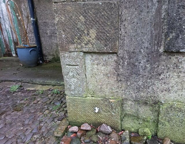
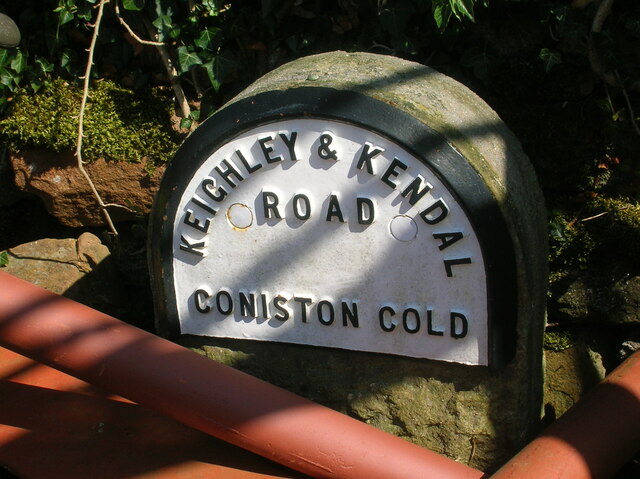
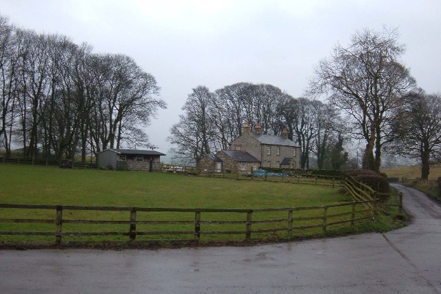
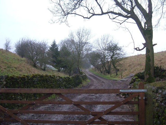
Hawber Hill Images

Images are sourced within 2km of 53.975279/-2.1610092 or Grid Reference SD8953. Thanks to Geograph Open Source API. All images are credited.

West Marton, Stainton Hall The benchmark is cut into a left cornerstone of an outbuilding adjacent to the hall.
West Marton, Stainton Hall
The benchmark is cut into a left cornerstone of an outbuilding adjacent to the hall.
Old milestone This top section and part of the backing stone of the WRCC milestone that once stood west of Coniston Cold on the A65 was found some years ago by a collector who has a small museum in Kings Meaburn  (NY62402075).  The lost sides would have had SKIPTON/6¾ MILES/KEIGHLEY/16 MILES and SETTLE/8¾ MILES/KENDAL/38 MILES.   it is not known which side of the road it once stood.
Old milestone
This top section and part of the backing stone of the WRCC milestone that once stood west of Coniston Cold on the A65 was found some years ago by a collector who has a small museum in Kings Meaburn (NY62402075). The lost sides would have had SKIPTON/6¾ MILES/KEIGHLEY/16 MILES and SETTLE/8¾ MILES/KENDAL/38 MILES. it is not known which side of the road it once stood.
Pot Haw Farm, Coniston Cold Situated less than a kilometre from the A65 at Coniston Cold on a minor road leading to Stainton Cotes - where it then becomes a rough bridleway.
Pot Haw Farm, Coniston Cold
Situated less than a kilometre from the A65 at Coniston Cold on a minor road leading to Stainton Cotes - where it then becomes a rough bridleway.
Stainton Cotes Stainton Cotes has several grand up-market residences in this pretty corner of the Dales.  This is one of them, but what a shame about the white plastic thing on the right.  It's not as if they were short of space.
Stainton Cotes
Stainton Cotes has several grand up-market residences in this pretty corner of the Dales. This is one of them, but what a shame about the white plastic thing on the right. It's not as if they were short of space.
Swinden Moor Head According to the OS maps one would expect to see a mast on top of the hill on the skyline.  Instead there is a small box-like structure housing (presumably) some telecommunications techno wizardry. View looking east from the entrance to Ash Tree Farm.
Swinden Moor Head
According to the OS maps one would expect to see a mast on top of the hill on the skyline. Instead there is a small box-like structure housing (presumably) some telecommunications techno wizardry. View looking east from the entrance to Ash Tree Farm.
Bridleway near Stainton This track starts just north of Stainton Hall to climb the W slope of Brightenber Hill. On the 1940s map this route is shown as a surfaced "motor" road leading to Coniston Cold. View looking north from its junction with a minor road near Stainton.
Bridleway near Stainton
This track starts just north of Stainton Hall to climb the W slope of Brightenber Hill. On the 1940s map this route is shown as a surfaced "motor" road leading to Coniston Cold. View looking north from its junction with a minor road near Stainton.
The view to the Dales Looking NE from the minor road at MR: SD88395212 towards the Dales.
The view to the Dales
Looking NE from the minor road at MR: SD88395212 towards the Dales.
Winterley Cobba Another whalebacked green hill so familiar to this area
Winterley Cobba
Another whalebacked green hill so familiar to this area
Moorber Lane Unmetalled lane that swings under a green hill of the same name, en route from Stainton Cotes to Coniston Cold
Moorber Lane
Unmetalled lane that swings under a green hill of the same name, en route from Stainton Cotes to Coniston Cold
Plantation near Winterley Cobba A lone square of trees in this landscape of rounded green hills
Plantation near Winterley Cobba
A lone square of trees in this landscape of rounded green hills
Ingthorpe Grange
Ingthorpe Grange
Coniston Cold  A65 Entrance to Kelber Farm
Coniston Cold A65
Entrance to Kelber Farm
Coniston Cold Kelber Farm off the A65 near Coniston Hall
Coniston Cold
Kelber Farm off the A65 near Coniston Hall
Ingthorpe Grange
Ingthorpe Grange
Ingthorpe Grange Farm Farmyard next to Ingthorpe Grange
Ingthorpe Grange Farm
Farmyard next to Ingthorpe Grange
Pasture near Ingthorpe Grange
Stainton Hall
Stainton Hall
Bridleway to Stainton Cotes It has been raining of late.
Bridleway to Stainton Cotes
It has been raining of late.
Show me another place!

Hawber Hill is located at Grid Ref: SD8953 (Lat: 53.975279, Lng: -2.1610092)

Division: West Riding

Administrative County: North Yorkshire

District: Craven

Police Authority: North Yorkshire

What 3 Words

///actual.gambles.animated. Near Gargrave, North Yorkshire

Related Wikis

Bank Newton Hall

Bank Newton Hall is a historic building in Bank Newton, a village in North Yorkshire, in England. The older wing of the building dates from the mid-17th...

Bank Newton

Bank Newton is a small settlement and civil parish in the Craven district of North Yorkshire, England. According to the 2001 census the parish had a population...

Newton Grange, Skipton

Newton Grange in Bank Newton, Skipton, in Yorkshire is a Georgian house of historical significance and is Grade II listed on the English Heritage Register...

A65 road

The A65 is a major road in England. It runs north west from Leeds in West Yorkshire via Kirkstall, Horsforth, Yeadon, Guiseley, Ilkley and Skipton, west...

Nearby Amenities

Located within 500m of 53.975279,-2.1610092
Hawber Hill
Is In Country Code: GB
Man Made: survey_point
Natural: peak
Source: OS 1:25k
Lat/Long: 53.975429/-2.1614311
Building: yes
Lat/Long: 53.9790124/-2.164234
The data included in this document is from www.openstreetmap.org. The data is made available under ODbL.

Have you been to Hawber Hill?

Leave your review of Hawber Hill below (or comments, questions and feedback).