Brock Woods
Wood, Forest in Yorkshire Craven
England
Brock Woods
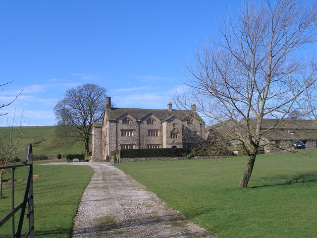
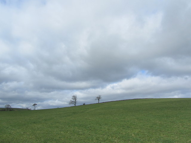
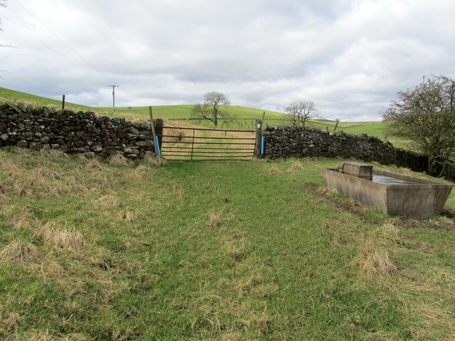
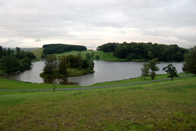
Brock Woods, located in Yorkshire, England, is a picturesque woodland area encompassing approximately 100 hectares. This woodland, also known as Brock Forest, is situated near the villages of Brockholes and Honley, offering a serene and tranquil environment for nature enthusiasts.
The woodland is predominantly composed of native broadleaf trees, such as oak, ash, and birch, which create a dense canopy that provides shade and shelter for a diverse range of wildlife. The forest floor is adorned with an array of wildflowers, including bluebells and primroses, which add vibrant colors to the landscape during springtime.
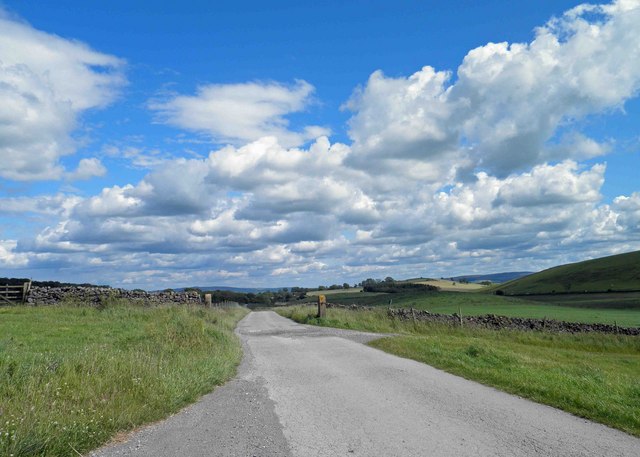
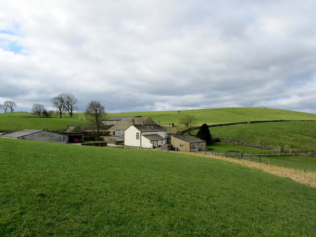
The area is crisscrossed by a network of well-maintained footpaths that allow visitors to explore the woods at their own pace. These paths wind through the forest, providing opportunities for walking, jogging, and nature observation. Along the way, visitors may encounter various species of birds, such as woodpeckers, song thrushes, and owls, as well as mammals like squirrels, rabbits, and foxes.
Brock Woods is also renowned for its historical significance. It is believed that the wood has existed for centuries, serving as a valuable resource for local communities. In the past, it would have been used for timber, firewood, and grazing animals. Today, the woodland is managed by local conservation organizations, ensuring its preservation for future generations to enjoy.
Overall, Brock Woods is a captivating natural haven, offering a peaceful retreat for individuals seeking solace amidst the beauty of Yorkshire's woodlands.
If you have any feedback on the listing, please let us know in the comments section below.
Brock Woods Images
Images are sourced within 2km of 53.980852/-2.1674349 or Grid Reference SD8953. Thanks to Geograph Open Source API. All images are credited.


Brock Woods is located at Grid Ref: SD8953 (Lat: 53.980852, Lng: -2.1674349)
Division: West Riding
Administrative County: North Yorkshire
District: Craven
Police Authority: North Yorkshire
What 3 Words
///resources.incurring.remain. Near Gargrave, North Yorkshire
Nearby Locations
Related Wikis

A65 road
The A65 is a major road in England. It runs north west from Leeds in West Yorkshire via Kirkstall, Horsforth, Yeadon, Guiseley, Ilkley and Skipton, west...

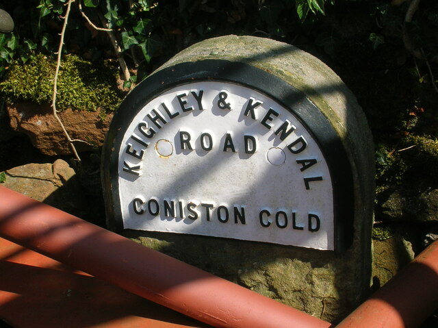
Coniston Cold
Coniston Cold is a village and civil parish in the Craven district of North Yorkshire, England. Historically part of the Staincliffe Wapentake of the West...

Bank Newton
Bank Newton is a small settlement and civil parish in the Craven district of North Yorkshire, England. According to the 2001 census the parish had a population...

Aire Gap
Aire Gap is a pass through the Pennines in England formed by geologic faults and carved out by glaciers. The term is used to describe a geological division...

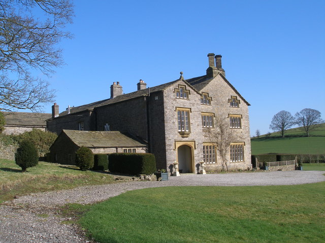
Newton Grange, Skipton
Newton Grange in Bank Newton, Skipton, in Yorkshire is a Georgian house of historical significance and is Grade II listed on the English Heritage Register...

Gledstone Hall
Gledstone Hall is a 20th-century country house in West Marton, near Skipton, North Yorkshire, England. Designed by Edwin Lutyens it stands in a 12-hectare...

Bell Busk railway station
Bell Busk railway station served the hamlet of Bell Busk in North Yorkshire, England. It was located on the Leeds to Morecambe Line between Gargrave and...

Bell Busk
Bell Busk is a hamlet situated in the Craven district of North Yorkshire, England. The hamlet is located at the southern end of Malhamdale where the nascent...
Related Videos
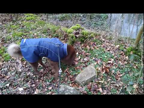
Khan on holiday
Skipton Coniston hotel.
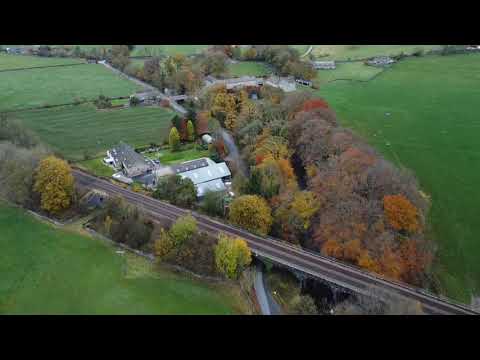
Dji Mini2 Drone in Coniston Cold The Yorkshire Dales.
Sunday Morning. Flying my DJI Mini 2 Drone above the car whilst my friend drove. This is the Yorkshire Dales near Skipton.
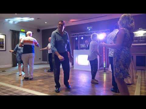
Dog joining in wedding dancing!
Coniston Hotel near Gargrave is dog friendly wedding venue which allows dogs on the dance floor as well as staying in one of the ...

Nearby Amenities
Located within 500m of 53.980852,-2.1674349Have you been to Brock Woods?
Leave your review of Brock Woods below (or comments, questions and feedback).