Wilke's Wood

Wood, Forest in Staffordshire Stafford

England

Wilke's Wood

Wind turbines near Doxey, Staffordshire
Wind turbines near Doxey, Staffordshire Credit: Roy Hughes

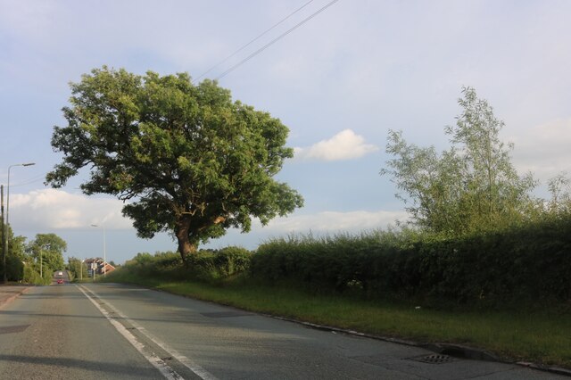
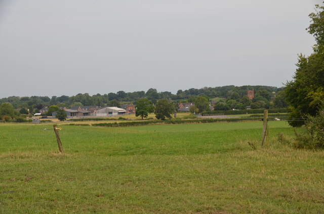
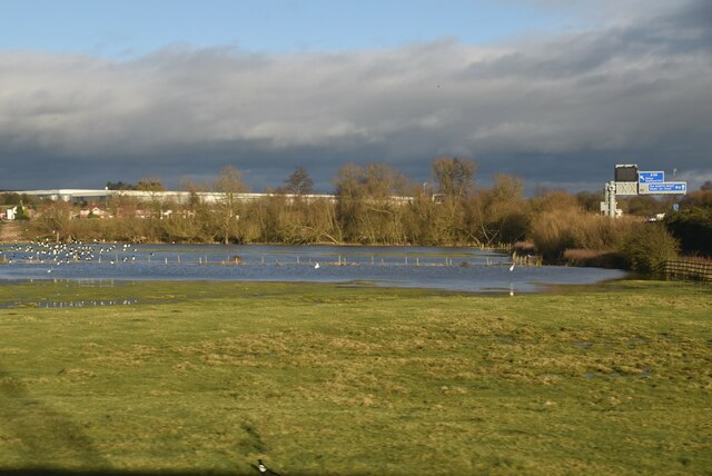
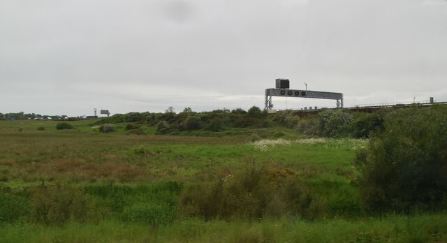
Wilke's Wood is a pristine woodland located in Staffordshire, England. Spanning over a vast area, it is a remarkable example of a well-preserved forest, offering visitors a glimpse into the region's natural beauty. The wood is situated in close proximity to the town of Stafford, making it easily accessible for locals and tourists alike.

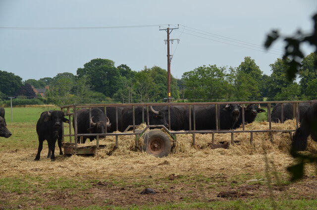
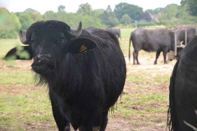
The woodland is predominantly composed of native tree species, including oak, beech, and birch, which create a diverse and enchanting landscape. The dense canopy provides shelter to a wide array of wildlife, with several species of birds, mammals, and insects calling Wilke's Wood their home. Visitors can often spot squirrels darting through the branches and hear the melodious songs of various bird species.

The wood's tranquil ambiance and picturesque surroundings make it a haven for nature enthusiasts and hikers. Numerous well-maintained trails wind through the forest, allowing visitors to explore its hidden treasures. Along these paths, one can discover babbling brooks, vibrant wildflowers, and moss-covered rocks, creating a sense of serenity and harmony with nature.

Wilke's Wood also holds historical significance, as it has witnessed various human activities throughout the centuries. Remnants of old charcoal kilns and abandoned mining shafts can still be found within its boundaries, serving as reminders of its past industrial use.

Overall, Wilke's Wood stands as a testament to the importance of preserving natural habitats. Its breathtaking beauty, rich biodiversity, and historical significance make it a must-visit destination for those seeking to immerse themselves in the wonders of Staffordshire's natural heritage.

If you have any feedback on the listing, please let us know in the comments section below.
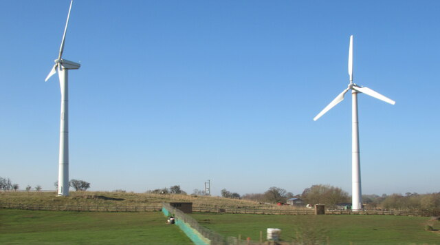
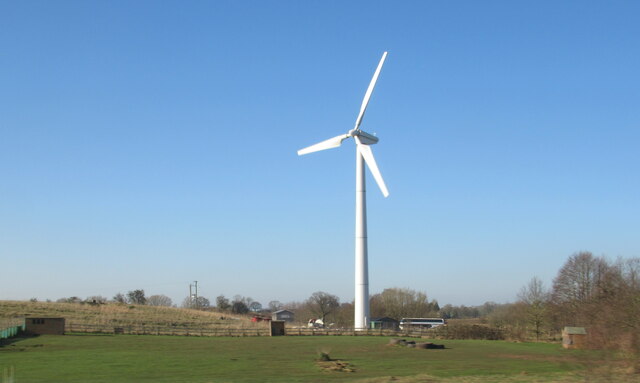
Wilke's Wood Images

Images are sourced within 2km of 52.826504/-2.1542001 or Grid Reference SJ8925. Thanks to Geograph Open Source API. All images are credited.

Wind turbines near Doxey, Staffordshire
A wind turbine near Doxey, Staffordshire
Railway passing underneath the M6 Motorway south of Junction 14
Localised flooding by River Sow
Creswell Grove heading for Stafford
Cooper Perry Primary School, Seighford near Stafford Cooper Perry Primary School, Seighford near Stafford is named after Sir Edwin Cooper Perry, GCVO (1856-1938) who was a physician and became Vice-Chancellor of the University of London. His father was the vicar of St Chad's Church, Seighford.
Cooper Perry Primary School, Seighford near Stafford
Cooper Perry Primary School, Seighford near Stafford is named after Sir Edwin Cooper Perry, GCVO (1856-1938) who was a physician and became Vice-Chancellor of the University of London. His father was the vicar of St Chad's Church, Seighford.
The Green, Seighford, near Stafford A view across The Green, Seighford, towards a barn conversion in the centre-left. Cooper Perry Junior School is behind the photographer. St Chad's church is off-picture to the right. The Green has a number of parking places in its centre. Clearly it's not seen grass for some time.
The Green, Seighford, near Stafford
A view across The Green, Seighford, towards a barn conversion in the centre-left. Cooper Perry Junior School is behind the photographer. St Chad's church is off-picture to the right. The Green has a number of parking places in its centre. Clearly it's not seen grass for some time.
View over Seighford near Stafford A view of Seighford taken from Oldford Lane looking north, showing the red-brick tower of St Chad's on the right
View over Seighford near Stafford
A view of Seighford taken from Oldford Lane looking north, showing the red-brick tower of St Chad's on the right
Buffalo in field off the Combers, Seighford, Stafford An unusual feature of the British countryside. The buffalo are raised by Beeches Farm, Seighford. The milk, along with buffalo steak, is sold locally.
Buffalo in field off the Combers, Seighford, Stafford
An unusual feature of the British countryside. The buffalo are raised by Beeches Farm, Seighford. The milk, along with buffalo steak, is sold locally.
Buffalo close up One young buffalo comes forward to investigate the photographer. An unusual feature of the British countryside. The buffalo are raised by Beeches Farm, Seighford. The milk, along with buffalo steak, is sold locally.
Buffalo close up
One young buffalo comes forward to investigate the photographer. An unusual feature of the British countryside. The buffalo are raised by Beeches Farm, Seighford. The milk, along with buffalo steak, is sold locally.
The Holly Bush, Seighford, near Stafford The Holly Bush PH is a grade II listed building situated on The Cumbers, Seighford. The building dates back to the 17th Century with later changes and additions. It has been an inn since that time.
The Holly Bush, Seighford, near Stafford
The Holly Bush PH is a grade II listed building situated on The Cumbers, Seighford. The building dates back to the 17th Century with later changes and additions. It has been an inn since that time.
Wildfowl and localised flooding
Localised flooding
Localised flooding
M6 looking north to J14 from Aston Bank bridge The M6 between junctions 13 and 15 was converted to a managed motorway which was opened in August 2022
M6 looking north to J14 from Aston Bank bridge
The M6 between junctions 13 and 15 was converted to a managed motorway which was opened in August 2022
Gantry, M6 The M6 motorway runs from junction 19 of the M1 at the Catthorpe Interchange, near Rugby to the Gretna junction (J45). Here it becomes the A74(M) and M74 which continues to Glasgow.

The M6 is the longest motorway in the United Kingdom (232 miles) and one of the busiest. It incorporates the first length of motorway opened in the UK (the Preston bypass in 1958) and forms part of a motorway "Backbone of Britain", running north-south between London and Glasgow via the industrial north of England. It is also part of the east-west route between the Midlands and the east coast ports.
Gantry, M6
The M6 motorway runs from junction 19 of the M1 at the Catthorpe Interchange, near Rugby to the Gretna junction (J45). Here it becomes the A74(M) and M74 which continues to Glasgow. The M6 is the longest motorway in the United Kingdom (232 miles) and one of the busiest. It incorporates the first length of motorway opened in the UK (the Preston bypass in 1958) and forms part of a motorway "Backbone of Britain", running north-south between London and Glasgow via the industrial north of England. It is also part of the east-west route between the Midlands and the east coast ports.
Wind turbine
Wind turbine
Cattle grazing on hillside
Aston Hill Farm Looking West
Aston Hill Farm
Looking West
Show me another place!

Wilke's Wood is located at Grid Ref: SJ8925 (Lat: 52.826504, Lng: -2.1542001)

Administrative County: Staffordshire

District: Stafford

Police Authority: Staffordshire

What 3 Words

///bright.ocean.reward. Near Stafford, Staffordshire

Nearby Locations

Wilke's Wood Creswell

Related Wikis

Creswell, Staffordshire

Creswell is a small village on the north-western edge of Stafford, the county town of Staffordshire, England situated on elevated ground above the wide...

Great Bridgeford

Great Bridgeford is a village in the Borough of Stafford, Staffordshire, England, and a ward of Seighford civil parish. Population details taken at the...
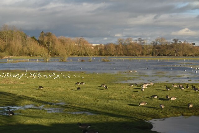
Doxey Marshes

Doxey Marshes is a 150 hectares (370 acres) nature reserve located within two miles of Stafford town centre, and is managed by Staffordshire Wildlife Trust...

Holmcroft

Holmcroft is the name of a Stafford, Staffordshire, England, residential estate approximately 1½ miles north of Stafford town centre, situated in a geographic...

Doxey

Doxey is a village and civil parish in the borough of Stafford in Staffordshire, England. It is a north-western suburb of Stafford. The village became...

Tillington, Staffordshire

Tillington is an area of Stafford, in Staffordshire, England. The area lies about 1½ miles north of the town centre. Essentially, the district lies within...

Sir Graham Balfour School

Sir Graham Balfour School is a coeducational secondary school and sixth form located in Stafford, England. It is named after Graham Balfour, son of the...

Great Bridgeford railway station

Great Bridgeford railway station served the village of Great Bridgeford, Staffordshire, England from 1837 to 1959 on the Stafford-Manchester line. ��2...

Nearby Amenities

Located within 500m of 52.826504,-2.1542001
Bus Stop
Creswell Drive
Bus: yes
Naptan AtcoCode: 3800C716000
Naptan Bearing: SE
Naptan CommonName: Creswell Drive
Naptan Indicator: Opp
Naptan Landmark: Creswell Drive
Naptan Street: Creswell Grove
Naptan Verified: no
Public Transport: platform
Source: naptan_import
Lat/Long: 52.8288414/-2.1496686
Bus Stop
Creswell Drive
Bus: yes
Naptan AtcoCode: 3800C716001
Naptan Bearing: NW
Naptan BusStopType: CUS
Naptan CommonName: Creswell Drive
Naptan Indicator: Adj
Naptan Landmark: Creswell Drive
Naptan Street: Creswell Grove
Naptan Verified: no
Public Transport: platform
Source: naptan_import
Lat/Long: 52.8288231/-2.149906
Wilkes Wood
Power: substation
Ref: 96666
Lat/Long: 52.8296244/-2.1511954
Man Made: pumping_station
Pumping Station: wastewater
Lat/Long: 52.8305811/-2.1520954
Shop: hairdresser
Lat/Long: 52.8294382/-2.1500101
Post Box
Post Box Type: lamp
Ref: ST18 143
Royal Cypher: EIIR
Royal Cypher Wikidata: Q33102113
Lat/Long: 52.8297277/-2.1508022
Creswell
Place: village
Wikidata: Q4858527
Lat/Long: 52.8302535/-2.1505032
Power: pole
Lat/Long: 52.8304229/-2.1535242
Power: pole
Lat/Long: 52.824493/-2.1601492
Power: pole
Lat/Long: 52.825352/-2.1611577
Generator Method: photovoltaic
Generator Output Electricity: yes
Generator Source: solar
Generator Type: solar_photovoltaic_panel
Location: roof
Power: generator
Lat/Long: 52.8301887/-2.1522447
Generator Method: photovoltaic
Generator Output Electricity: yes
Generator Source: solar
Generator Type: solar_photovoltaic_panel
Location: roof
Power: generator
Lat/Long: 52.8286937/-2.1492326
Generator Method: photovoltaic
Generator Output Electricity: yes
Generator Source: solar
Generator Type: solar_photovoltaic_panel
Location: roof
Power: generator
Lat/Long: 52.8286808/-2.1491495
Generator Method: photovoltaic
Generator Output Electricity: yes
Generator Source: solar
Generator Type: solar_photovoltaic_panel
Location: roof
Power: generator
Lat/Long: 52.828731/-2.1503162
The data included in this document is from www.openstreetmap.org. The data is made available under ODbL.

Have you been to Wilke's Wood?

Leave your review of Wilke's Wood below (or comments, questions and feedback).