Alms Grove
Wood, Forest in Dorset
England
Alms Grove

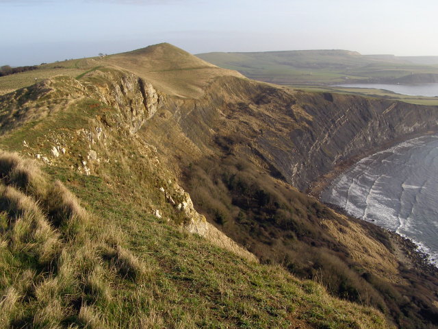
Alms Grove, Dorset, also known as Wood or Forest, is a picturesque and idyllic location nestled in the southwest of England. It is renowned for its stunning natural beauty, offering visitors an escape from the hustle and bustle of city life. Alms Grove is located in the county of Dorset, near the village of Alms, and is surrounded by lush greenery and enchanting woodland.
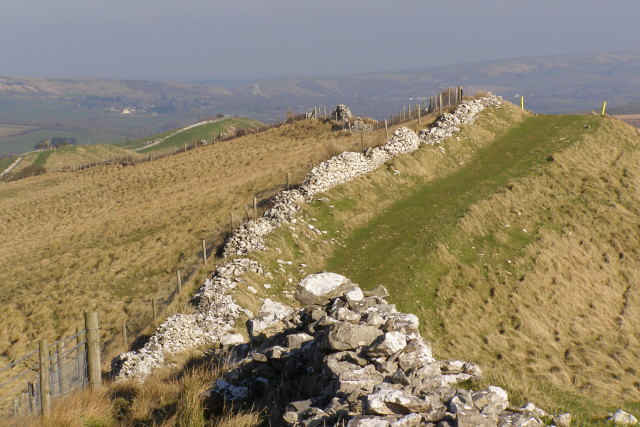
The forest is home to a diverse range of flora and fauna, with ancient oak trees and vibrant wildflowers dotting the landscape. It provides a haven for nature enthusiasts, offering opportunities for leisurely walks, birdwatching, and wildlife spotting. The tranquil atmosphere and serene surroundings make it a popular destination for those looking to reconnect with nature.
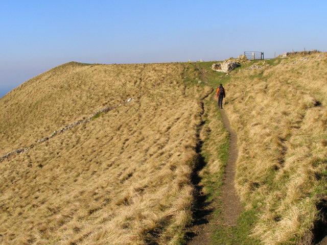
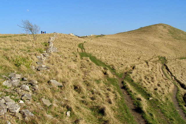
One of the notable features of Alms Grove is its well-maintained network of walking trails, which wind through the forest and offer breathtaking views of the surrounding countryside. These trails cater to all levels of fitness and provide an ideal setting for outdoor activities such as hiking, jogging, and cycling.
In addition to its natural beauty, Alms Grove also boasts a rich historical significance. The forest has been a part of Dorset's heritage for centuries, with traces of ancient settlements and historical landmarks scattered throughout the area. Archaeological discoveries, including burial mounds and remnants of Roman settlements, indicate the forest's long-standing human presence.
Whether it's immersing oneself in nature, exploring historical sites, or simply enjoying a peaceful retreat, Alms Grove, Dorset, offers an enchanting experience for visitors seeking tranquility and natural beauty.
If you have any feedback on the listing, please let us know in the comments section below.
Alms Grove Images
Images are sourced within 2km of 50.632668/-2.1493587 or Grid Reference SY8981. Thanks to Geograph Open Source API. All images are credited.


Alms Grove is located at Grid Ref: SY8981 (Lat: 50.632668, Lng: -2.1493587)
Unitary Authority: Dorset
Police Authority: Dorset
What 3 Words
///bounty.inflation.apartment. Near Corfe Castle, Dorset
Nearby Locations
Related Wikis

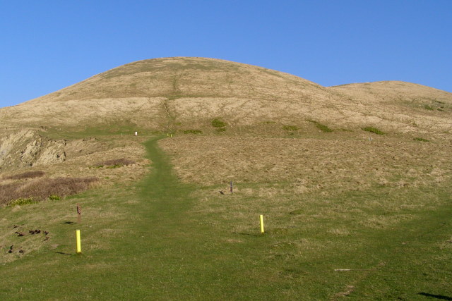
Povington Hill
Povington Hill, at 198 metres (650 ft) high, is one of the highest points on the chain of the Purbeck Hills in south Dorset on the southern coast of England...

Povington Priory
Povington Priory was a Benedictine priory in Tyneham, Dorset, England. It was established as an alien priory of the Abbey of Bec. This term could mean...

Steeple, Dorset
Steeple is a hamlet and former civil parish, now in the civil parish of Steeple with Tyneham, in the Purbeck district of the English county of Dorset....

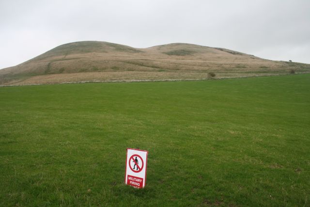
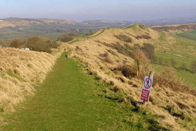
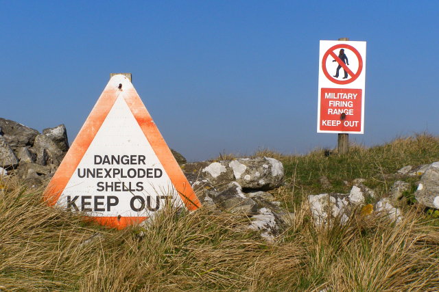
Lulworth Ranges
The Lulworth Ranges are military firing ranges located between Wareham and Lulworth in Dorset, England. They cover an area of more than 2,830 hectares...

St Mary's Church, Tyneham
St Mary's Church is a former Church of England parish church in Tyneham, Dorset, England. The church, which is a Grade II listed building, has 13th-century...
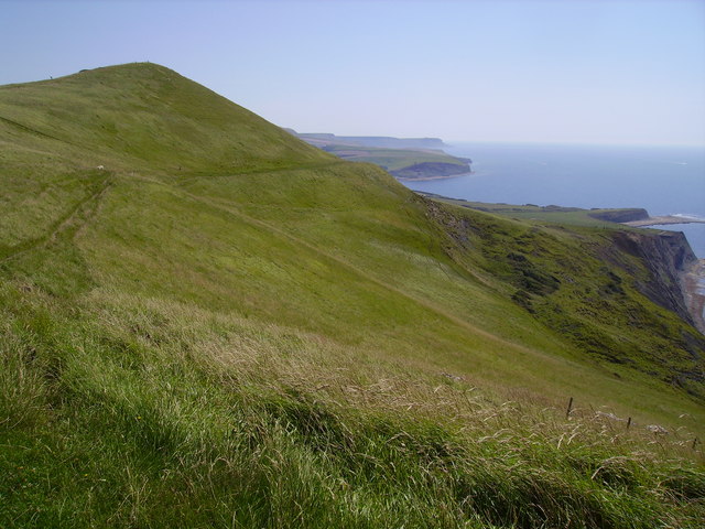
Tyneham Cap
Tyneham Cap is a prominent, grassy knoll, 167 metres (548 ft) high, on the South West Coast Path in Dorset, England. It rises above Brandy Bay and has...

Tyneham
Tyneham is a ghost village abandoned in 1943 and former civil parish, now in the parish of Steeple with Tyneham, in the Dorset district, in the south of...

Grange Arch
Grange Arch, also known as Creech Folly, is an 18th-century folly that is located near the second highest point of the Purbeck Hills, Ridgeway Hill (199...
Nearby Amenities
Located within 500m of 50.632668,-2.1493587Have you been to Alms Grove?
Leave your review of Alms Grove below (or comments, questions and feedback).