Elmbridge Green Coppice

Wood, Forest in Worcestershire Wychavon

England

Elmbridge Green Coppice

Elmbridge Village Hall
Elmbridge Village Hall Credit: Philip Halling

Elmbridge Green Coppice is a picturesque woodland located in Worcestershire, England. Spanning over an area of approximately 50 acres, the coppice is known for its dense cover of various tree species, making it a haven for nature enthusiasts and those seeking solitude in the heart of nature.

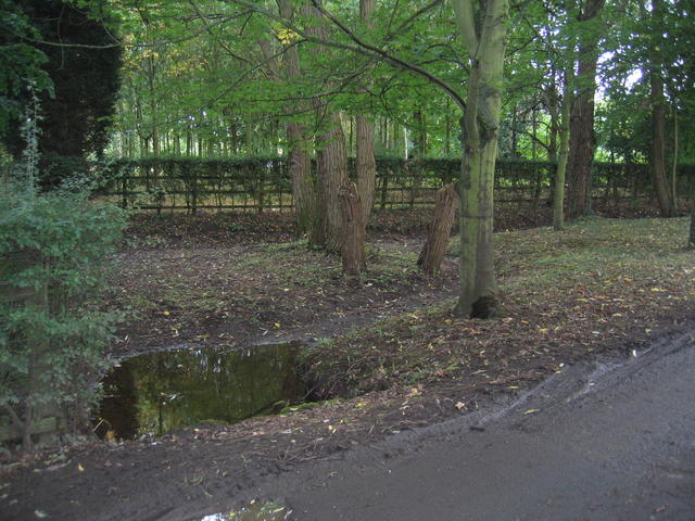
The woodland primarily consists of deciduous trees, including oak, birch, and ash, which provide a stunning display of colors during the autumn season. The forest floor is adorned with a rich carpet of wildflowers, enhancing the beauty of the surroundings. This diverse ecosystem supports a wide range of flora and fauna, making it an ideal spot for birdwatching and wildlife spotting.

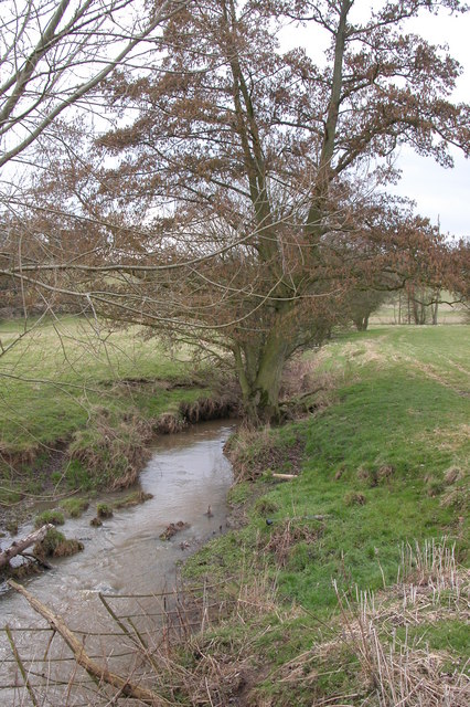
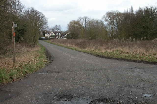
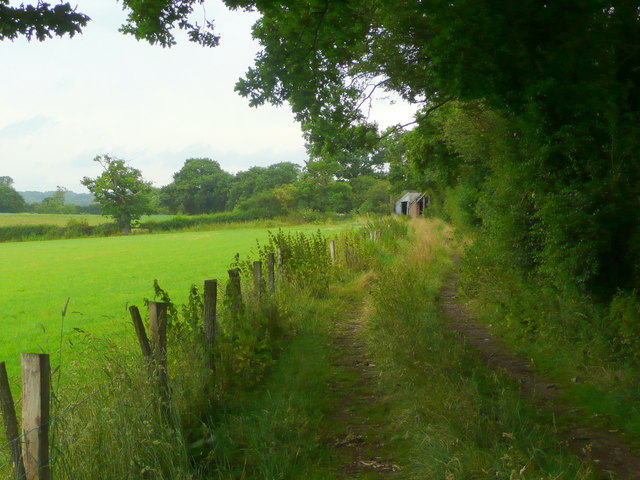
Elmbridge Green Coppice offers several walking trails, allowing visitors to explore the woodland at their own pace. These trails take visitors through peaceful groves, alongside babbling brooks, and past serene ponds, providing a serene and calming atmosphere. The tranquil ambiance of the coppice makes it a popular destination for those seeking a break from the hustle and bustle of everyday life.

In addition to its natural beauty, the woodland also holds historical significance. It is believed that the area was once used for charcoal production, as evidenced by the presence of charcoal platforms scattered throughout the forest. These remnants serve as a reminder of the area's industrial past and add an intriguing element to the overall experience.

Elmbridge Green Coppice is a true gem of Worcestershire, offering visitors a chance to immerse themselves in the beauty of nature and connect with the rich history of the area.

If you have any feedback on the listing, please let us know in the comments section below.

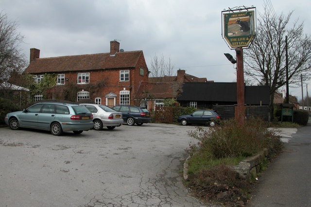
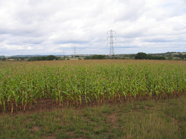
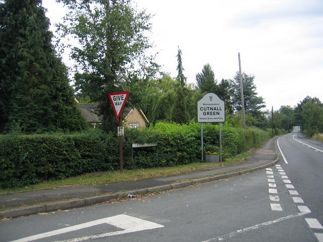
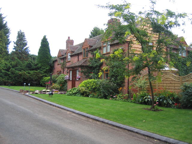
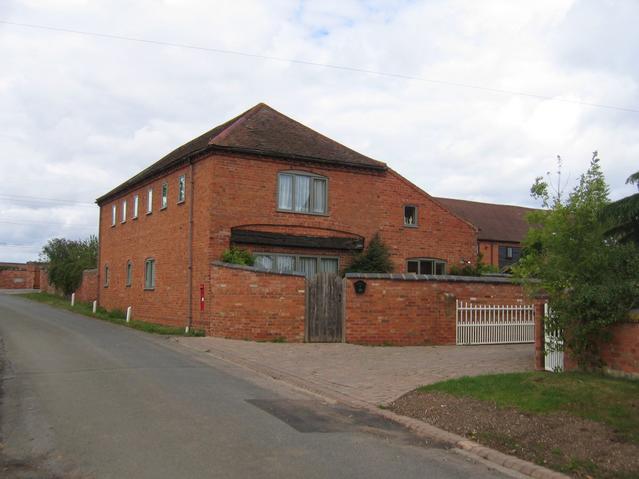
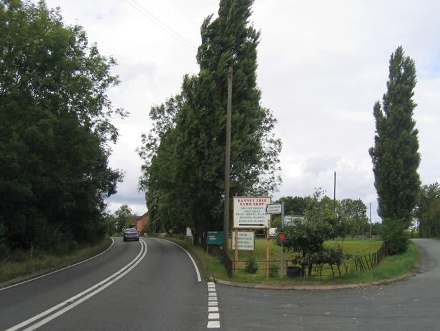
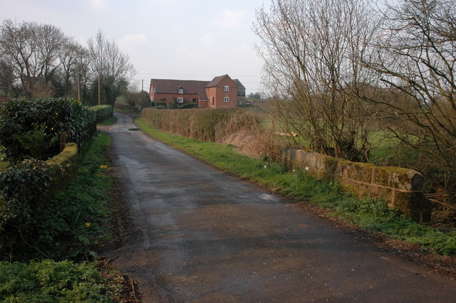
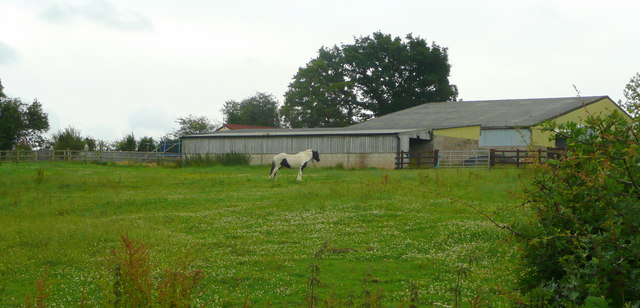
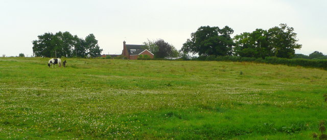
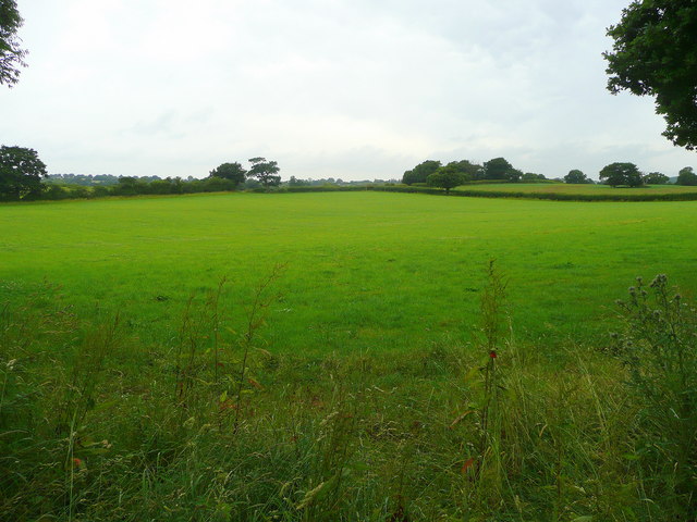
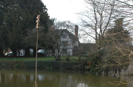
Elmbridge Green Coppice Images

Images are sourced within 2km of 52.319333/-2.1550396 or Grid Reference SO8969. Thanks to Geograph Open Source API. All images are credited.

Elmbridge Village Hall
St Mary's church, Elmbridge Pevsner describes this church as 'drastically restored and mostly rebuilt in 1872', though there are remnants dating back to the late Norman times.
St Mary's church, Elmbridge
Pevsner describes this church as 'drastically restored and mostly rebuilt in 1872', though there are remnants dating back to the late Norman times.
Elmbridge Brook, Elmbridge Here the brook is viewed from the Elmbridge to Cutnall Green road.
Elmbridge Brook, Elmbridge
Here the brook is viewed from the Elmbridge to Cutnall Green road.
Bryan's Green, near Cutnall Green The Monarch's Way follows this road at Bryan's Green.
Bryan's Green, near Cutnall Green
The Monarch's Way follows this road at Bryan's Green.
The Live and Let Live Inn at Cutnall Green
Maize near Cashes Farm A power line strides across the field of maize in the north of the square.  The hills on the skyline are the northern edge of the Lickey's and beyond lies SW Birmingham.
Maize near Cashes Farm
A power line strides across the field of maize in the north of the square. The hills on the skyline are the northern edge of the Lickey's and beyond lies SW Birmingham.
Clattercut Lane junction The interestingly named Clattercut Lane joins the Kidderminster - Droitwich road on the northern edge of Cutnall Green.  Judging by internet searches the name of this lane is unique, however nothing appears to explain the origin of the name.
Clattercut Lane junction
The interestingly named Clattercut Lane joins the Kidderminster - Droitwich road on the northern edge of Cutnall Green. Judging by internet searches the name of this lane is unique, however nothing appears to explain the origin of the name.
Broad Alley A picturesque and well maintained cottage and garden by the lane through Broad Alley.
Broad Alley
A picturesque and well maintained cottage and garden by the lane through Broad Alley.
The Old Bakehouse Part of the old farm building conversions at Cashes Farm.
The Old Bakehouse
Part of the old farm building conversions at Cashes Farm.
Bannut Tree Bannut Tree Farm is situated in the "v" of the road junction between Clattercut Lane and the Droitwich - Kidderminster Road just to the north of Cutnall Green.
Bannut Tree
Bannut Tree Farm is situated in the "v" of the road junction between Clattercut Lane and the Droitwich - Kidderminster Road just to the north of Cutnall Green.
Drained pond at Broad Alley This muddy patch beside the lane at Broad Alley seem to be the site of a small pond, water feature and probably at one time, a ford.  Judging by the muddy state of the area the whole lot has recently been underwater probably due to flash flooding.  The pond is drained at the moment however.
Drained pond at Broad Alley
This muddy patch beside the lane at Broad Alley seem to be the site of a small pond, water feature and probably at one time, a ford. Judging by the muddy state of the area the whole lot has recently been underwater probably due to flash flooding. The pond is drained at the moment however.
Turn Mill, Purshull Green Lane
Chequers Inn, Cutnall Green
Paddock and barn At Cornshire House Farm.
Paddock and barn
At Cornshire House Farm.
Mare and foal in pasture South of Cornshire House Farm, Cooksey Green
Mare and foal in pasture
South of Cornshire House Farm, Cooksey Green
Green fields of Worcestershire Looking along the line of a footpath to Purshull Green.
Green fields of Worcestershire
Looking along the line of a footpath to Purshull Green.
Track to a barn On the map it's given as Wormshill Farm, but there does not seem to be much activity here.
Track to a barn
On the map it's given as Wormshill Farm, but there does not seem to be much activity here.
The "New Inn" no longer. Sandwiched between the Chequers and the Live and Let Live, this pub hasn't survived.
The "New Inn" no longer.
Sandwiched between the Chequers and the Live and Let Live, this pub hasn't survived.
Show me another place!

Elmbridge Green Coppice is located at Grid Ref: SO8969 (Lat: 52.319333, Lng: -2.1550396)

Administrative County: Worcestershire

District: Wychavon

Police Authority: West Mercia

What 3 Words

///mascot.vandalism.sublet. Near Wychbold, Worcestershire

Nearby Locations

Elmbridge Green Coppice

Related Wikis

Elmbridge, Worcestershire

Elmbridge is a small community, mainly clustered in a village and forms a civil parish in Worcestershire, England. == Geography == It occupies the top...

Badge Court

Badge Court is an estate in Worcestershire, England. Originally known as Batchcott, the home's most famous occupant was Helena Wintour, daughter of Gunpowder...

Rushock

Rushock is a village and civil parish in the Wyre Forest District of Worcestershire, England. At the 2001 census it had a population of 138. The grave...

Elmley Lovett

Elmley Lovett in Worcestershire, England is a civil parish whose residents' homes are quite loosely clustered east of its Hartlebury Trading Estate, as...

Nearby Amenities

Located within 500m of 52.319333,-2.1550396
Barrier: stile
Foot: yes
Lat/Long: 52.3191463/-2.1505173
Fixme: continue
Lat/Long: 52.3200474/-2.1492005
Barrier: stile
Foot: yes
Lat/Long: 52.3213744/-2.1524888
The data included in this document is from www.openstreetmap.org. The data is made available under ODbL.

Have you been to Elmbridge Green Coppice?

Leave your review of Elmbridge Green Coppice below (or comments, questions and feedback).