Hawkley Wood

Wood, Forest in Gloucestershire Stroud

England

Hawkley Wood

Limekiln Lane, 1 Heading south-east towards Waterlane. The beech copse surrounds Bisley long barrow.
It's the time of year when beech trees look black against a sunny winter sky.
Limekiln Lane, 1 Credit: Jonathan Billinger

Hawkley Wood is a picturesque forest located in the county of Gloucestershire, England. Covering an area of approximately 400 acres, it is a significant natural landmark in the region. The wood is situated near the village of Hawkley, nestled between rolling hills and farmland, providing a tranquil and serene setting for visitors.

The wood is predominantly composed of various species of broadleaf trees, including oak, beech, and ash, which create a dense and lush canopy. These trees have been growing for centuries and provide a valuable habitat for a diverse range of wildlife. It is not uncommon to encounter squirrels, rabbits, and a variety of bird species while exploring the wood.

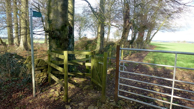
Hawkley Wood is crisscrossed by a network of footpaths, allowing visitors to explore its beauty at their own pace. The paths wind through the ancient trees, leading to hidden clearings and peaceful glades, perfect for picnicking or simply enjoying the natural surroundings. Additionally, the wood is intersected by a small stream, adding to the tranquil ambiance.

The wood holds historical significance as it is believed to have been in existence since medieval times. It has served as a source of timber for local communities and has witnessed centuries of change and growth in the surrounding area.

Today, Hawkley Wood is managed by local authorities, who strive to preserve its natural beauty and protect its wildlife. It is a popular destination for nature enthusiasts, walkers, and families seeking a peaceful escape in the heart of Gloucestershire.

If you have any feedback on the listing, please let us know in the comments section below.
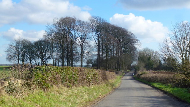
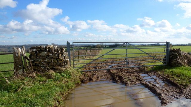
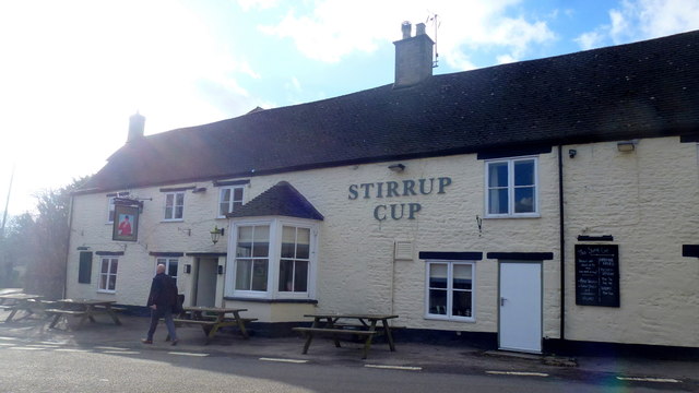
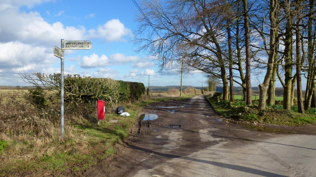
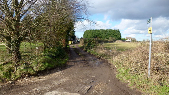
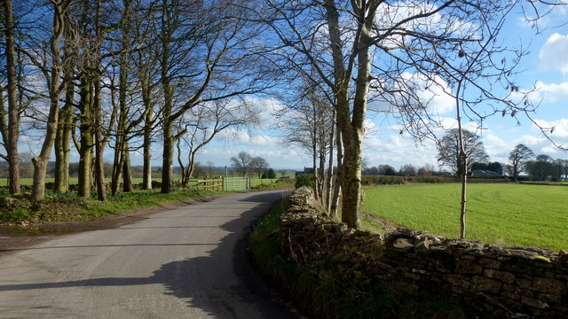
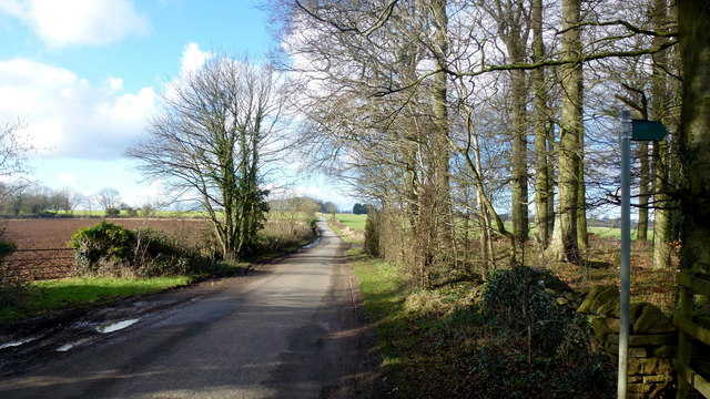
Hawkley Wood Images

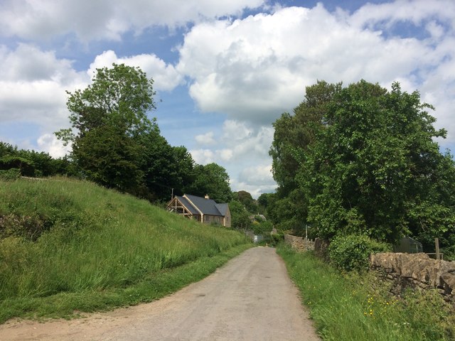
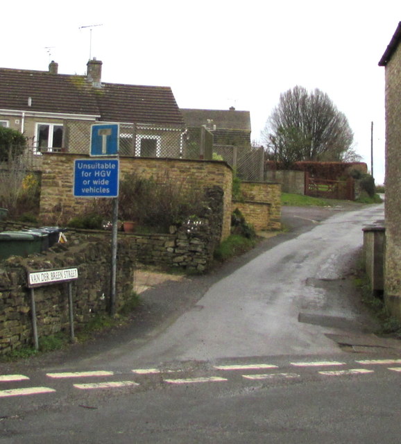
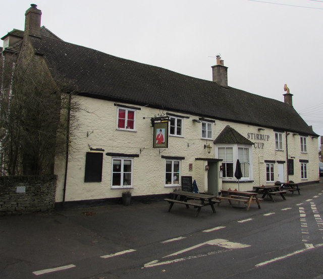
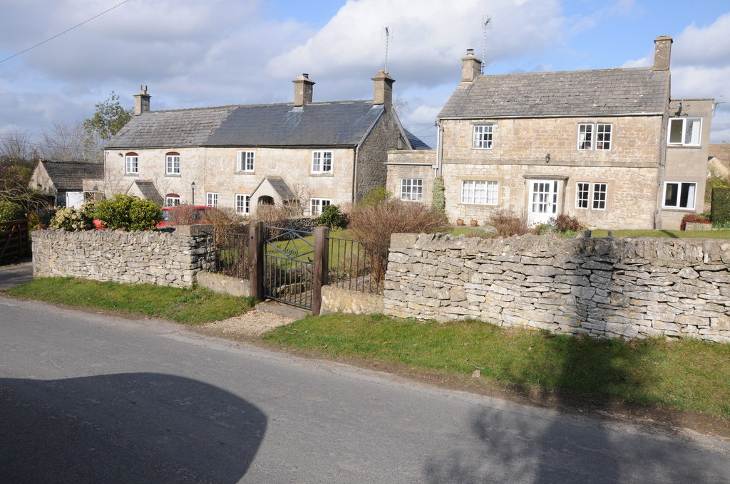
Images are sourced within 2km of 51.744806/-2.153366 or Grid Reference SO8905. Thanks to Geograph Open Source API. All images are credited.

Limekiln Lane, 1 Heading south-east towards Waterlane. The beech copse surrounds Bisley long barrow.
It's the time of year when beech trees look black against a sunny winter sky.
Limekiln Lane, 1
Heading south-east towards Waterlane. The beech copse surrounds Bisley long barrow. It's the time of year when beech trees look black against a sunny winter sky.
Young cereal field near Bisley Typical Cotswold view in late winter.
Young cereal field near Bisley
Typical Cotswold view in late winter.
The Stirrup Cup, Bisley Walker-friendly pub at the north end of the village.
The Stirrup Cup, Bisley
Walker-friendly pub at the north end of the village.
Notice on the Stirrup Cup Not unfriendly to outdoor-types!
Notice on the Stirrup Cup
Not unfriendly to outdoor-types!
Hayhedge Lane, Bisley The lane leads a to dead end at Battlescombe. Right is Limekiln Lane.
Hayhedge Lane, Bisley
The lane leads a to dead end at Battlescombe. Right is Limekiln Lane.
Track and footpath to Bisley Leading north-west from the lane junction in <a href="https://www.geograph.org.uk/photo/5013309">SO9005 : Hayhedge Lane, Bisley</a>.
Track and footpath to Bisley
Leading north-west from the lane junction in SO9005 : Hayhedge Lane, Bisley.
Limekiln Lane Looking south-east from Hayhedge Lane, Bisley.
Limekiln Lane
Looking south-east from Hayhedge Lane, Bisley.
Limekiln Lane, 2 The opposite view to <a href="https://www.geograph.org.uk/photo/4824246">SO9105 : Limekiln Lane, 1</a>.
Limekiln Lane, 2
The opposite view to SO9105 : Limekiln Lane, 1.
Footpath by Bisley barrow The path heads north from Limekiln Lane to Battlescombe.
Footpath by Bisley barrow
The path heads north from Limekiln Lane to Battlescombe.
Cotswolds stream Some small waterfalls here at Bourne's Green.
Cotswolds stream
Some small waterfalls here at Bourne's Green.
Steep lane, Bourne's Green Leading to Upper Hill Farm.
Steep lane, Bourne's Green
Leading to Upper Hill Farm.
Moon's Lane, Bourne's Green Leading uphill to Hyde's Bottom and on to Bisley.
Moon's Lane, Bourne's Green
Leading uphill to Hyde's Bottom and on to Bisley.
Track and bridleway Towards Upper Hill Farm.
Track and bridleway
Towards Upper Hill Farm.
Cotswolds pasture land To the north-west of France Lench.
Cotswolds pasture land
To the north-west of France Lench.
Lynch Road, France Lynch
Van Der Breen Street, Bisley Western end of a long dead-end street viewed from the High Street/Cheltenham Road junction. 
A sign shows that Van Der Breen Street is unsuitable for heavy goods vehicles or wide vehicles.
Van Der Breen Street, Bisley
Western end of a long dead-end street viewed from the High Street/Cheltenham Road junction. A sign shows that Van Der Breen Street is unsuitable for heavy goods vehicles or wide vehicles.
Stirrup Cup, Bisley Cheltenham Road pub & restaurant near the northern end of High Street. <a title="https://www.geograph.org.uk/photo/6011412" href="https://www.geograph.org.uk/photo/6011412">Link</a> to the name sign.
Stirrup Cup, Bisley
Cheltenham Road pub & restaurant near the northern end of High Street. Link to the name sign.
The Stirrup Cup name sign, Bisley Hanging from a wall bracket here. <a title="https://www.geograph.org.uk/photo/6011407" href="https://www.geograph.org.uk/photo/6011407">Link</a>
The Stirrup Cup name sign, Bisley
Hanging from a wall bracket here. Link
Show me another place!

Hawkley Wood is located at Grid Ref: SO8905 (Lat: 51.744806, Lng: -2.153366)

Administrative County: Gloucestershire

District: Stroud

Police Authority: Gloucestershire

What 3 Words

///record.overtones.protrude. Near Chalford, Gloucestershire

Related Wikis

Bisley-with-Lypiatt

Bisley-with-Lypiatt is a civil parish in the Stroud district of Gloucestershire, England. It had a population of 2350 in 2019. It includes Bisley, Lypiatt...

Eastcombe, Gloucestershire

Eastcombe is a village in Stroud District in Gloucestershire, England. The Parish Church is called Eastcombe: St Augustine and served the parish of Bussage...

Lypiatt Park

Lypiatt Park is a medieval and Tudor manor house with notable nineteenth-century additions in the parish of Bisley, near Stroud, in Gloucestershire, England...

Thomas Keble School

Thomas Keble School is a mixed secondary school located in Eastcombe in the English county of Gloucestershire. The school is named after Thomas Keble,...

Nearby Amenities

Located within 500m of 51.744806,-2.153366
Archaeological Site: tumulus
Historic: archaeological_site
Source: Bing + OS 1:25k
Lat/Long: 51.7412707/-2.1509225
Archaeological Site: tumulus
Historic: archaeological_site
Source: Bing + OS 1:25k
Lat/Long: 51.7406194/-2.1522399
Barrier: stile
Lat/Long: 51.7479288/-2.1510218
Barrier: stile
Lat/Long: 51.7427793/-2.1502901
Barrier: stile
Lat/Long: 51.7483692/-2.149641
Power: pole
Lat/Long: 51.7464506/-2.1546654
Power: pole
Lat/Long: 51.7470617/-2.1541236
Power: pole
Lat/Long: 51.7458403/-2.1551683
Power: pole
Lat/Long: 51.7478639/-2.1538244
Power: pole
Lat/Long: 51.7486393/-2.1535749
Power: pole
Lat/Long: 51.7439528/-2.1586444
Power: pole
Lat/Long: 51.7445644/-2.1562133
Power: pole
Lat/Long: 51.7442858/-2.1573396
Power: pole
Lat/Long: 51.7436663/-2.1598984
The data included in this document is from www.openstreetmap.org. The data is made available under ODbL.

Have you been to Hawkley Wood?

Leave your review of Hawkley Wood below (or comments, questions and feedback).