Highmeads Wood

Wood, Forest in Gloucestershire Stroud

England

Highmeads Wood

Young cereal field near Bisley Typical Cotswold view in late winter.
Young cereal field near Bisley Credit: Jonathan Billinger

Highmeads Wood is a picturesque woodland located in the county of Gloucestershire, England. Covering an area of approximately 100 acres, it is situated near the village of Huntley, just a few miles west of the city of Gloucester. The wood is part of the larger Forest of Dean, which spans over 42 square miles.

Highmeads Wood is primarily composed of deciduous trees, such as oak, beech, and ash, creating a diverse and vibrant habitat for a wide range of flora and fauna. The woodland floor is adorned with a carpet of bluebells in the spring, adding a splash of color to the already beautiful landscape.

The wood is crisscrossed with a network of walking trails, allowing visitors to explore the area and enjoy its natural beauty. These trails provide access to various points of interest, including a small pond where visitors can observe local wildlife, such as ducks and dragonflies.

Highmeads Wood is also home to a rich variety of bird species, making it a popular spot for birdwatching enthusiasts. Visitors may spot woodpeckers, nuthatches, and various species of owls, among others.

The woodland is managed by the Forestry Commission, ensuring its preservation and conservation. It serves as an important recreational area for locals and visitors alike, offering a peaceful and tranquil escape from the hustle and bustle of everyday life.

If you have any feedback on the listing, please let us know in the comments section below.

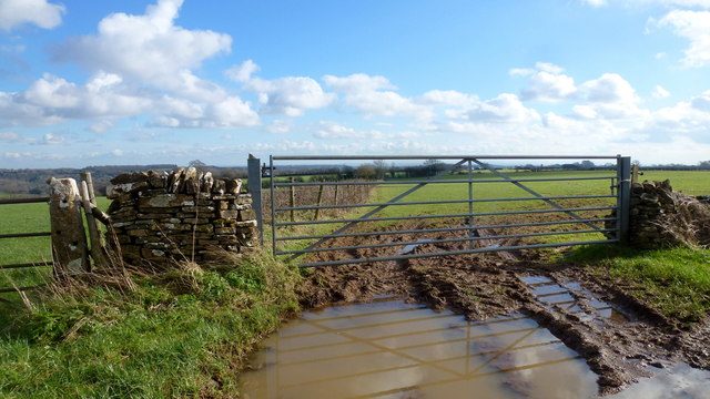
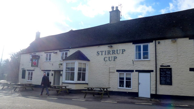
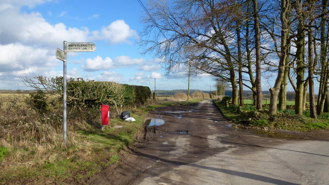
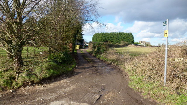
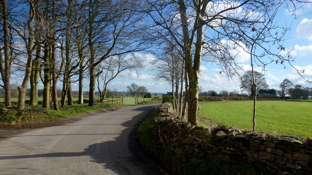
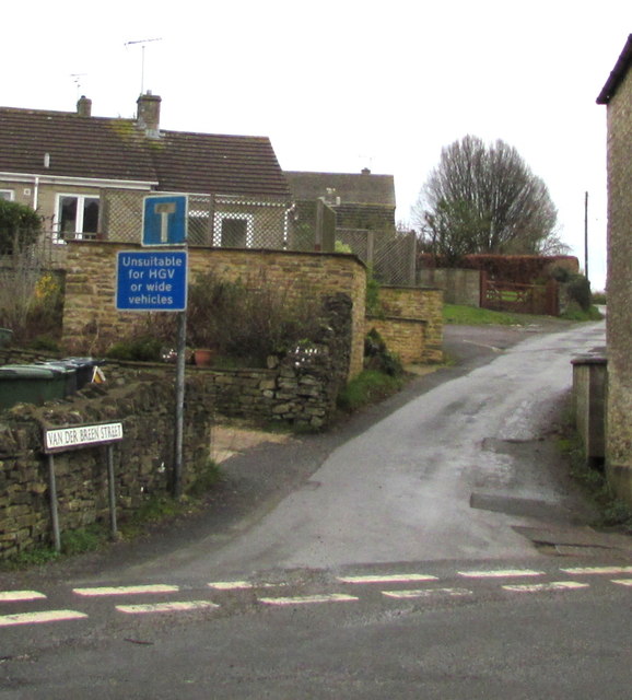
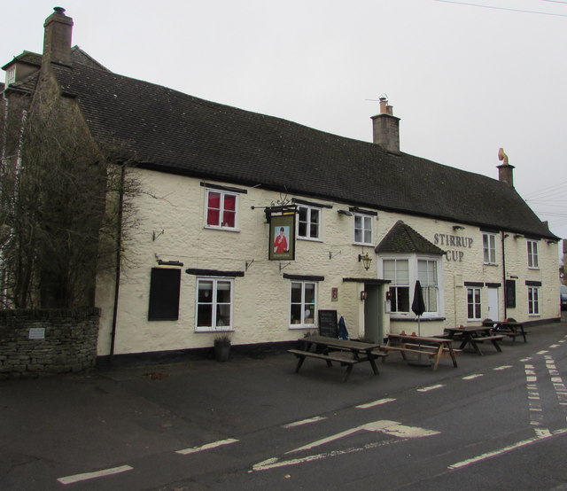
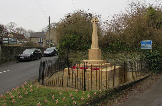
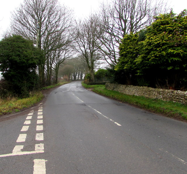
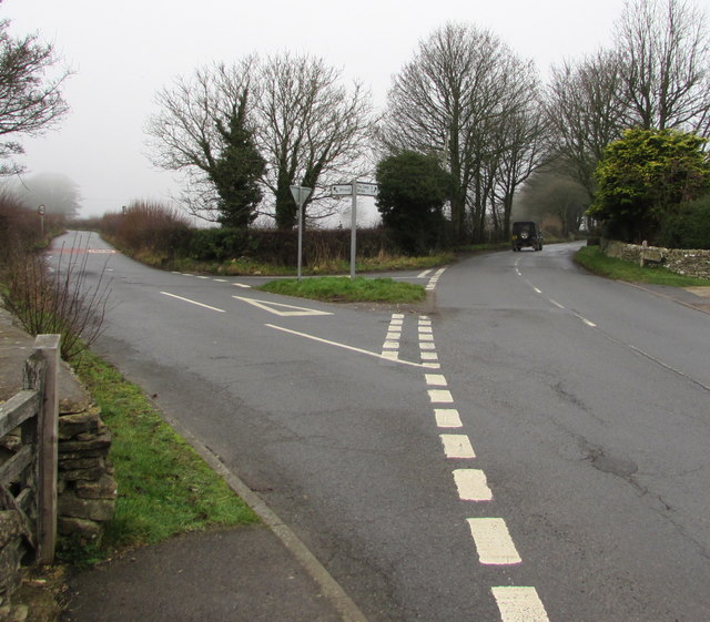
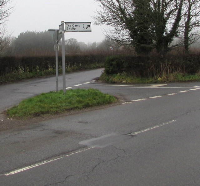
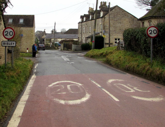
Highmeads Wood Images

Images are sourced within 2km of 51.750541/-2.1606717 or Grid Reference SO8905. Thanks to Geograph Open Source API. All images are credited.

Young cereal field near Bisley Typical Cotswold view in late winter.
Young cereal field near Bisley
Typical Cotswold view in late winter.
The Stirrup Cup, Bisley Walker-friendly pub at the north end of the village.
The Stirrup Cup, Bisley
Walker-friendly pub at the north end of the village.
Notice on the Stirrup Cup Not unfriendly to outdoor-types!
Notice on the Stirrup Cup
Not unfriendly to outdoor-types!
Hayhedge Lane, Bisley The lane leads a to dead end at Battlescombe. Right is Limekiln Lane.
Hayhedge Lane, Bisley
The lane leads a to dead end at Battlescombe. Right is Limekiln Lane.
Track and footpath to Bisley Leading north-west from the lane junction in <a href="https://www.geograph.org.uk/photo/5013309">SO9005 : Hayhedge Lane, Bisley</a>.
Track and footpath to Bisley
Leading north-west from the lane junction in SO9005 : Hayhedge Lane, Bisley.
Limekiln Lane Looking south-east from Hayhedge Lane, Bisley.
Limekiln Lane
Looking south-east from Hayhedge Lane, Bisley.
Van Der Breen Street, Bisley Western end of a long dead-end street viewed from the High Street/Cheltenham Road junction. 
A sign shows that Van Der Breen Street is unsuitable for heavy goods vehicles or wide vehicles.
Van Der Breen Street, Bisley
Western end of a long dead-end street viewed from the High Street/Cheltenham Road junction. A sign shows that Van Der Breen Street is unsuitable for heavy goods vehicles or wide vehicles.
Stirrup Cup, Bisley Cheltenham Road pub & restaurant near the northern end of High Street. <a title="https://www.geograph.org.uk/photo/6011412" href="https://www.geograph.org.uk/photo/6011412">Link</a> to the name sign.
Stirrup Cup, Bisley
Cheltenham Road pub & restaurant near the northern end of High Street. Link to the name sign.
The Stirrup Cup name sign, Bisley Hanging from a wall bracket here. <a title="https://www.geograph.org.uk/photo/6011407" href="https://www.geograph.org.uk/photo/6011407">Link</a>
The Stirrup Cup name sign, Bisley
Hanging from a wall bracket here. Link
Bisley War Memorial Located on the east side of Cheltenham Road near the Stirrup Cup. <a title="https://www.geograph.org.uk/photo/6011407" href="https://www.geograph.org.uk/photo/6011407">Link</a>
The Cotswold stone War Memorial was dedicated on April 3rd 1921. 
Grade II listed in 2010.
Bisley War Memorial
Located on the east side of Cheltenham Road near the Stirrup Cup. Link The Cotswold stone War Memorial was dedicated on April 3rd 1921. Grade II listed in 2010.
Windyridge, Bisley The northeast end of the cul-de-sac Windyridge viewed across Cheltenham Road.
Windyridge, Bisley
The northeast end of the cul-de-sac Windyridge viewed across Cheltenham Road.
Cheltenham Road houses near the corner of Windyridge, Bisley Cheltenham Road houses are on the right. Windyridge <a title="https://www.geograph.org.uk/photo/6011448" href="https://www.geograph.org.uk/photo/6011448">Link</a> houses are on the left.
Cheltenham Road houses near the corner of Windyridge, Bisley
Cheltenham Road houses are on the right. Windyridge Link houses are on the left.
Minor road from Bisley towards Stroud The 30mph speed limit increases to 40mph.
Minor road from Bisley towards Stroud
The 30mph speed limit increases to 40mph.
Give Way sign and hydrant marker on a grass triangle, Bisley Facing the minor road from Stroud. Calf Way is on the left. 
Cheltenham Road on the right leads to the centre of Bisley.
Give Way sign and hydrant marker on a grass triangle, Bisley
Facing the minor road from Stroud. Calf Way is on the left. Cheltenham Road on the right leads to the centre of Bisley.
Calf Way north of Bisley North of the junction on the left, Cheltenham Road behind the camera becomes Calf Way ahead. 
Pointing ahead, a sign near the camera shows two miles to The Camp, five miles to Birdlip.
Calf Way north of Bisley
North of the junction on the left, Cheltenham Road behind the camera becomes Calf Way ahead. Pointing ahead, a sign near the camera shows two miles to The Camp, five miles to Birdlip.
Y-junction north of Bisley Viewed from the northwest end of Cheltenham Road.
Left for a minor road towards Stroud.
Right along Calf Way for The Camp (2 miles) and Birdlip (5).
Y-junction north of Bisley
Viewed from the northwest end of Cheltenham Road. Left for a minor road towards Stroud. Right along Calf Way for The Camp (2 miles) and Birdlip (5).
Direction and distances sign on a grass triangle north of Bisley Two miles from The Camp and five miles from Birdlip,
the black arrow on the sign points along Calf Way. <a title="https://www.geograph.org.uk/photo/6011492" href="https://www.geograph.org.uk/photo/6011492">Link</a>
Direction and distances sign on a grass triangle north of Bisley
Two miles from The Camp and five miles from Birdlip, the black arrow on the sign points along Calf Way. Link
Northern boundary of Bisley The 30mph speed limit on Cheltenham Road drops to 20mph near the village 
boundary sign. Bisley is a Gloucestershire village about 6km east of Stroud.
Northern boundary of Bisley
The 30mph speed limit on Cheltenham Road drops to 20mph near the village boundary sign. Bisley is a Gloucestershire village about 6km east of Stroud.
Show me another place!

Highmeads Wood is located at Grid Ref: SO8905 (Lat: 51.750541, Lng: -2.1606717)

Administrative County: Gloucestershire

District: Stroud

Police Authority: Gloucestershire

What 3 Words

///always.acclaimed.fishnet. Near Stroud, Gloucestershire

Related Wikis

Lypiatt Park

Lypiatt Park is a medieval and Tudor manor house with notable nineteenth-century additions in the parish of Bisley, near Stroud, in Gloucestershire, England...

Bisley-with-Lypiatt

Bisley-with-Lypiatt is a civil parish in the Stroud district of Gloucestershire, England. It had a population of 2350 in 2019. It includes Bisley, Lypiatt...

Bisley, Gloucestershire

Bisley is a village and former civil parish, now in the parish of Bisley-with-Lypiatt, in the Stroud district, in Gloucestershire, England, about 4 miles...

Lypiatt

Lypiatt is a small village and former civil parish, now in the parish of Miserden, in the Stroud district, in Gloucestershire, England, approximately 4...

Nearby Amenities

Located within 500m of 51.750541,-2.1606717
Copsegrove Farm Forest School
Leisure: park
Lat/Long: 51.751918/-2.1542131
The data included in this document is from www.openstreetmap.org. The data is made available under ODbL.

Have you been to Highmeads Wood?

Leave your review of Highmeads Wood below (or comments, questions and feedback).