Nashend

Settlement in Gloucestershire Stroud

England

Nashend

The Stirrup Cup, Bisley Walker-friendly pub at the north end of the village.
The Stirrup Cup, Bisley Credit: Jonathan Billinger

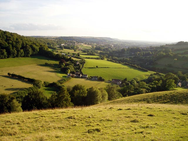
Nashend is a small village located in the county of Gloucestershire, situated in the South West region of England. It is nestled in the picturesque Cotswolds, an area renowned for its natural beauty and charming rural landscapes. With a population of around 500 residents, Nashend offers a tranquil and close-knit community atmosphere.

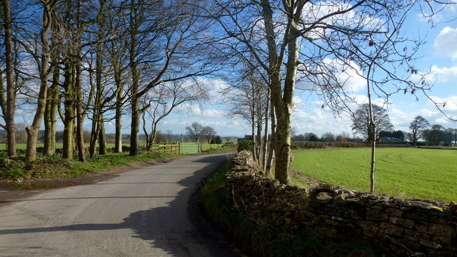
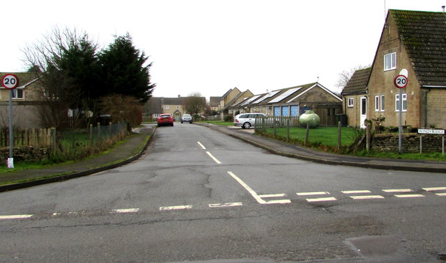
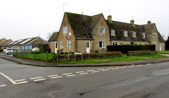
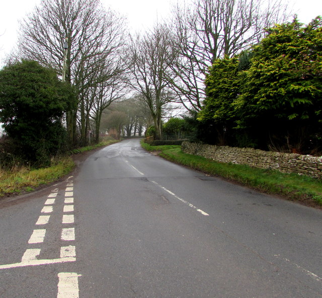
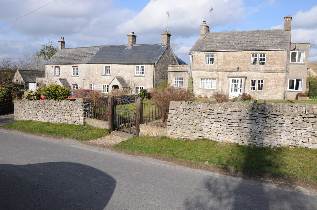
The village is characterized by its traditional Cotswold stone houses, which lend a timeless charm to the area. It is surrounded by rolling hills and lush green fields, making it an ideal destination for nature lovers and outdoor enthusiasts. The nearby River Windrush adds to the scenic beauty of the village, where visitors can enjoy leisurely walks along the riverbanks or fishing in its clear waters.

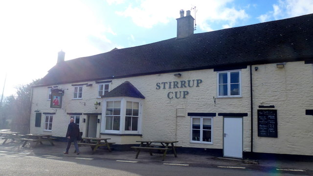
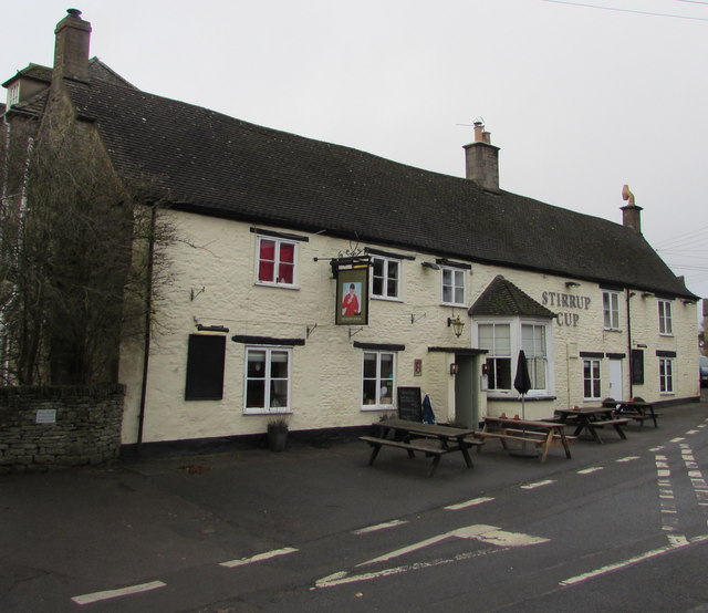
Despite its small size, Nashend boasts a few amenities to cater to its residents' needs. The village has a local pub, providing a cozy gathering place for locals and visitors alike. Additionally, a small convenience store offers essential supplies, ensuring that residents have easy access to everyday necessities.

Nashend is well-positioned for those seeking to explore the surrounding area. It is within easy reach of larger towns such as Cirencester and Cheltenham, which offer a wider range of amenities, shopping, and entertainment options. The village's proximity to the Cotswold Area of Outstanding Natural Beauty means that residents can easily access stunning walking trails and enjoy the idyllic countryside.

In summary, Nashend is a charming village in Gloucestershire, offering a peaceful and scenic retreat for its residents and visitors.

If you have any feedback on the listing, please let us know in the comments section below.
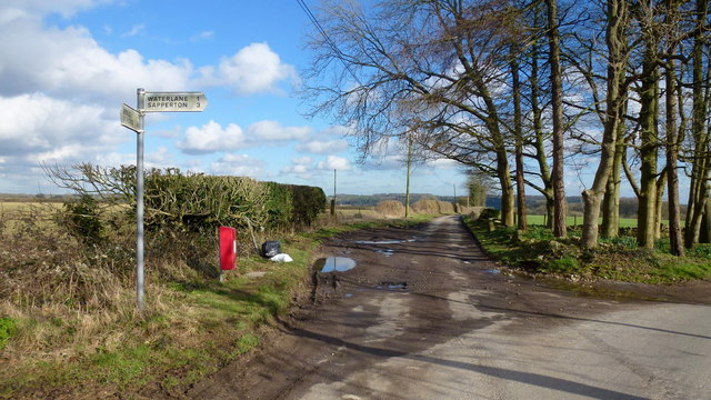
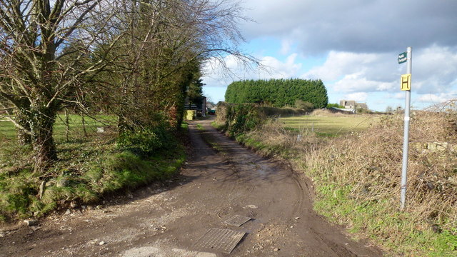
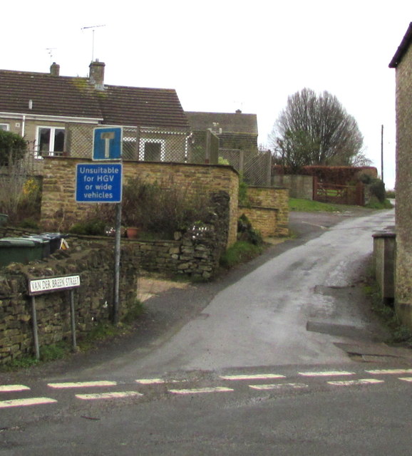
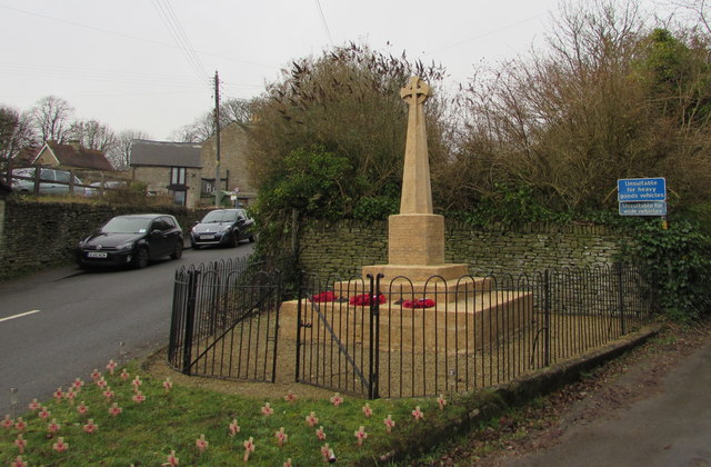
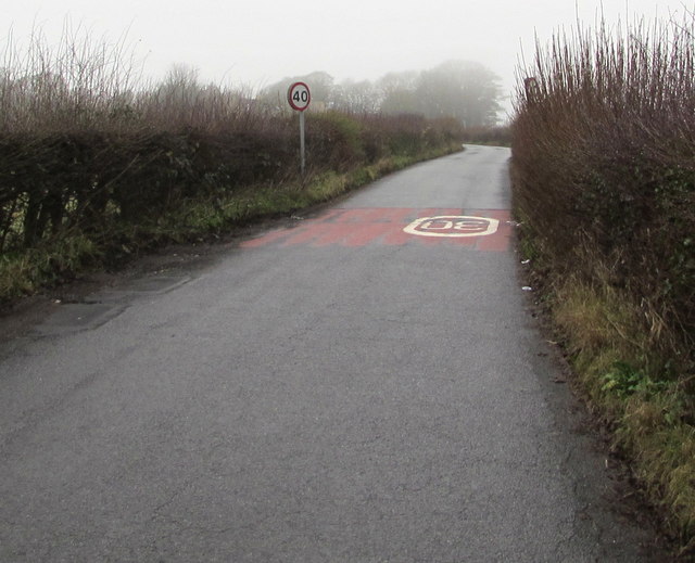
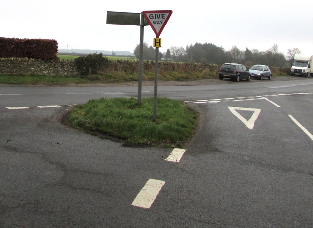
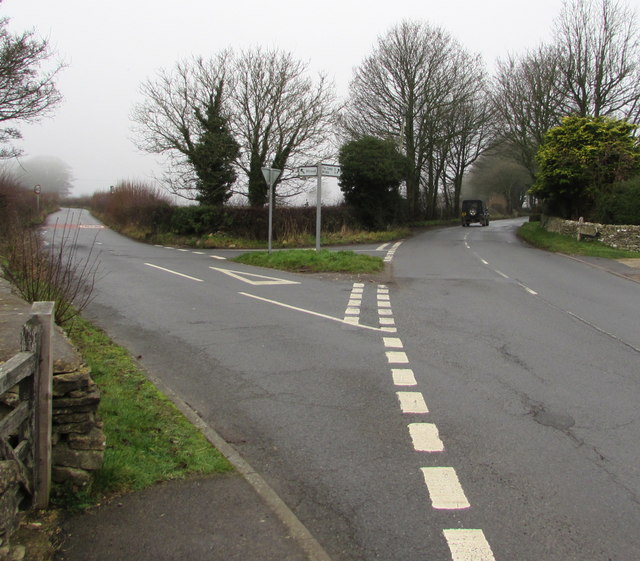
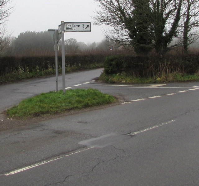
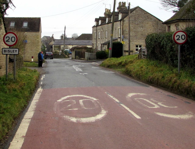
Nashend Images

Images are sourced within 2km of 51.743591/-2.1607195 or Grid Reference SO8905. Thanks to Geograph Open Source API. All images are credited.

The Stirrup Cup, Bisley Walker-friendly pub at the north end of the village.
The Stirrup Cup, Bisley
Walker-friendly pub at the north end of the village.
Notice on the Stirrup Cup Not unfriendly to outdoor-types!
Notice on the Stirrup Cup
Not unfriendly to outdoor-types!
Hayhedge Lane, Bisley The lane leads a to dead end at Battlescombe. Right is Limekiln Lane.
Hayhedge Lane, Bisley
The lane leads a to dead end at Battlescombe. Right is Limekiln Lane.
Track and footpath to Bisley Leading north-west from the lane junction in <a href="https://www.geograph.org.uk/photo/5013309">SO9005 : Hayhedge Lane, Bisley</a>.
Track and footpath to Bisley
Leading north-west from the lane junction in SO9005 : Hayhedge Lane, Bisley.
Limekiln Lane Looking south-east from Hayhedge Lane, Bisley.
Limekiln Lane
Looking south-east from Hayhedge Lane, Bisley.
Track and bridleway Towards Upper Hill Farm.
Track and bridleway
Towards Upper Hill Farm.
Van Der Breen Street, Bisley Western end of a long dead-end street viewed from the High Street/Cheltenham Road junction. 
A sign shows that Van Der Breen Street is unsuitable for heavy goods vehicles or wide vehicles.
Van Der Breen Street, Bisley
Western end of a long dead-end street viewed from the High Street/Cheltenham Road junction. A sign shows that Van Der Breen Street is unsuitable for heavy goods vehicles or wide vehicles.
Stirrup Cup, Bisley Cheltenham Road pub & restaurant near the northern end of High Street. <a title="https://www.geograph.org.uk/photo/6011412" href="https://www.geograph.org.uk/photo/6011412">Link</a> to the name sign.
Stirrup Cup, Bisley
Cheltenham Road pub & restaurant near the northern end of High Street. Link to the name sign.
The Stirrup Cup name sign, Bisley Hanging from a wall bracket here. <a title="https://www.geograph.org.uk/photo/6011407" href="https://www.geograph.org.uk/photo/6011407">Link</a>
The Stirrup Cup name sign, Bisley
Hanging from a wall bracket here. Link
Bisley War Memorial Located on the east side of Cheltenham Road near the Stirrup Cup. <a title="https://www.geograph.org.uk/photo/6011407" href="https://www.geograph.org.uk/photo/6011407">Link</a>
The Cotswold stone War Memorial was dedicated on April 3rd 1921. 
Grade II listed in 2010.
Bisley War Memorial
Located on the east side of Cheltenham Road near the Stirrup Cup. Link The Cotswold stone War Memorial was dedicated on April 3rd 1921. Grade II listed in 2010.
Windyridge, Bisley The northeast end of the cul-de-sac Windyridge viewed across Cheltenham Road.
Windyridge, Bisley
The northeast end of the cul-de-sac Windyridge viewed across Cheltenham Road.
Cheltenham Road houses near the corner of Windyridge, Bisley Cheltenham Road houses are on the right. Windyridge <a title="https://www.geograph.org.uk/photo/6011448" href="https://www.geograph.org.uk/photo/6011448">Link</a> houses are on the left.
Cheltenham Road houses near the corner of Windyridge, Bisley
Cheltenham Road houses are on the right. Windyridge Link houses are on the left.
Minor road from Bisley towards Stroud The 30mph speed limit increases to 40mph.
Minor road from Bisley towards Stroud
The 30mph speed limit increases to 40mph.
Give Way sign and hydrant marker on a grass triangle, Bisley Facing the minor road from Stroud. Calf Way is on the left. 
Cheltenham Road on the right leads to the centre of Bisley.
Give Way sign and hydrant marker on a grass triangle, Bisley
Facing the minor road from Stroud. Calf Way is on the left. Cheltenham Road on the right leads to the centre of Bisley.
Calf Way north of Bisley North of the junction on the left, Cheltenham Road behind the camera becomes Calf Way ahead. 
Pointing ahead, a sign near the camera shows two miles to The Camp, five miles to Birdlip.
Calf Way north of Bisley
North of the junction on the left, Cheltenham Road behind the camera becomes Calf Way ahead. Pointing ahead, a sign near the camera shows two miles to The Camp, five miles to Birdlip.
Y-junction north of Bisley Viewed from the northwest end of Cheltenham Road.
Left for a minor road towards Stroud.
Right along Calf Way for The Camp (2 miles) and Birdlip (5).
Y-junction north of Bisley
Viewed from the northwest end of Cheltenham Road. Left for a minor road towards Stroud. Right along Calf Way for The Camp (2 miles) and Birdlip (5).
Direction and distances sign on a grass triangle north of Bisley Two miles from The Camp and five miles from Birdlip,
the black arrow on the sign points along Calf Way. <a title="https://www.geograph.org.uk/photo/6011492" href="https://www.geograph.org.uk/photo/6011492">Link</a>
Direction and distances sign on a grass triangle north of Bisley
Two miles from The Camp and five miles from Birdlip, the black arrow on the sign points along Calf Way. Link
Northern boundary of Bisley The 30mph speed limit on Cheltenham Road drops to 20mph near the village 
boundary sign. Bisley is a Gloucestershire village about 6km east of Stroud.
Northern boundary of Bisley
The 30mph speed limit on Cheltenham Road drops to 20mph near the village boundary sign. Bisley is a Gloucestershire village about 6km east of Stroud.
Show me another place!

Nashend is located at Grid Ref: SO8905 (Lat: 51.743591, Lng: -2.1607195)

Administrative County: Gloucestershire

District: Stroud

Police Authority: Gloucestershire

What 3 Words

///decoded.flame.storyline. Near Chalford, Gloucestershire

Related Wikis

Eastcombe, Gloucestershire

Eastcombe is a village in Stroud District in Gloucestershire, England. The Parish Church is called Eastcombe: St Augustine and served the parish of Bussage...

Lypiatt Park

Lypiatt Park is a medieval and Tudor manor house with notable nineteenth-century additions in the parish of Bisley, near Stroud, in Gloucestershire, England...

Thomas Keble School

Thomas Keble School is a mixed secondary school located in Eastcombe in the English county of Gloucestershire. The school is named after Thomas Keble,...

Bisley-with-Lypiatt

Bisley-with-Lypiatt is a civil parish in the Stroud district of Gloucestershire, England. It had a population of 2350 in 2019. It includes Bisley, Lypiatt...

Bisley, Gloucestershire

Bisley is a village and former civil parish, now in the parish of Bisley-with-Lypiatt, in the Stroud district, in Gloucestershire, England, about 4 miles...

Lypiatt

Lypiatt is a small village and former civil parish, now in the parish of Miserden, in the Stroud district, in Gloucestershire, England, approximately 4...

Nether Lypiatt Manor

Nether Lypiatt Manor is a compact, neo-Classical manor house in the mainly rural parish of Thrupp, near Stroud in Gloucestershire. It was formerly the...

Swift's Hill SSSI

Swift's Hill (grid reference SO877067) is a 9.15-hectare (22.6-acre) biological and geological Site of Special Scientific Interest in Gloucestershire,...

Nearby Amenities

Located within 500m of 51.743591,-2.1607195
Barrier: kissing_gate
Lat/Long: 51.740685/-2.1566288
Barrier: stile
Lat/Long: 51.7463731/-2.1657664
Barrier: stile
Lat/Long: 51.7457554/-2.1610136
Barrier: stile
Lat/Long: 51.7460447/-2.162249
Barrier: stile
Lat/Long: 51.7462536/-2.1640391
Power: pole
Lat/Long: 51.7458403/-2.1551683
Power: pole
Lat/Long: 51.7414641/-2.1612811
Power: pole
Lat/Long: 51.7439528/-2.1586444
Power: pole
Lat/Long: 51.7422111/-2.1608133
Power: pole
Lat/Long: 51.7445644/-2.1562133
Power: pole
Lat/Long: 51.7442858/-2.1573396
Power: pole
Lat/Long: 51.7429447/-2.1603195
Power: pole
Lat/Long: 51.7406162/-2.1618162
Power: pole
Lat/Long: 51.7436663/-2.1598984
Power: pole
Lat/Long: 51.7397169/-2.1623982
The data included in this document is from www.openstreetmap.org. The data is made available under ODbL.

Have you been to Nashend?

Leave your review of Nashend below (or comments, questions and feedback).