Fill-the-Firkins Plantation
Wood, Forest in Northumberland
England
Fill-the-Firkins Plantation
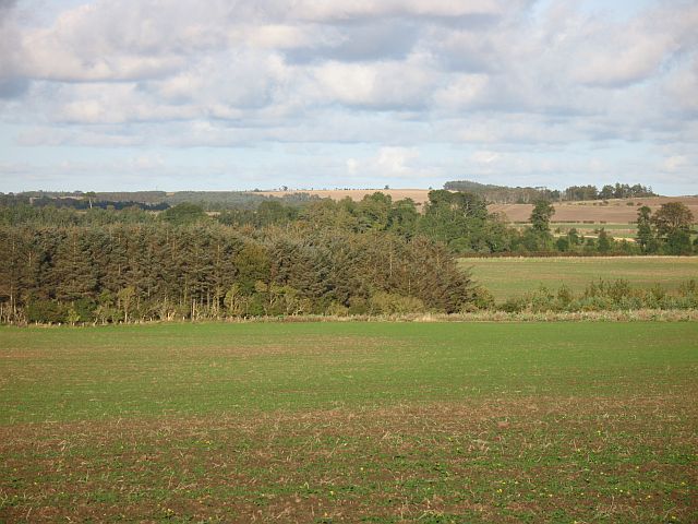
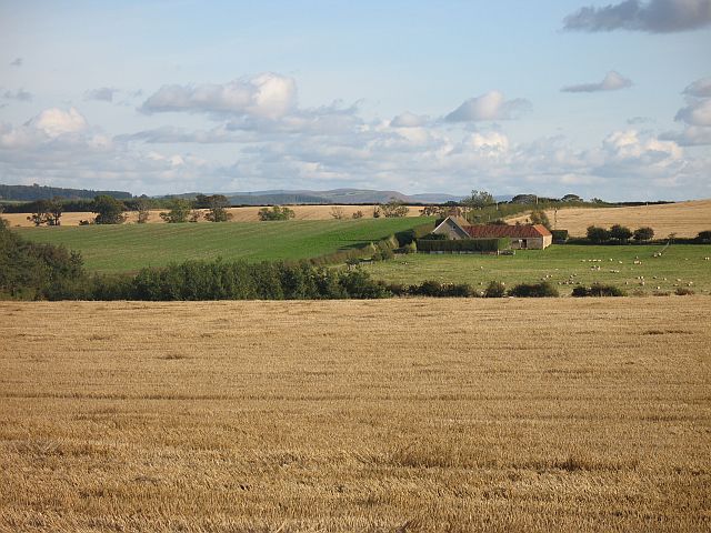
Fill-the-Firkins Plantation is a picturesque woodland located in Northumberland, England. Nestled within the heart of the region, this plantation covers an area of approximately 500 acres, comprising a diverse range of tree species and an array of wildlife.
The woodland is predominantly made up of fir trees, hence its name, but also features a mix of other conifers and broadleaf trees. This combination creates a lush and vibrant forest that changes its colors throughout the seasons, attracting numerous visitors keen to experience the natural beauty of the area.
The plantation offers a network of well-maintained trails, providing opportunities for leisurely walks, hiking, and birdwatching. The paths wind their way through the dense woodland, offering glimpses of various wildlife, including deer, squirrels, and a variety of bird species. Nature enthusiasts can delight in the tranquility and serenity of the surroundings, immersing themselves in the sights and sounds of the forest.
Fill-the-Firkins Plantation is also a haven for outdoor recreation. It provides ample space for activities such as camping, picnicking, and nature photography. The vast expanses of the woodland offer a sense of seclusion and privacy, allowing visitors to escape the hustle and bustle of everyday life.
Additionally, the plantation is managed by a dedicated team of forestry professionals who ensure the preservation and conservation of the woodland. They implement sustainable practices to maintain the health and biodiversity of the forest, ensuring its long-term sustainability.
In summary, Fill-the-Firkins Plantation is a captivating woodland in Northumberland, offering a rich tapestry of nature, recreational activities, and a serene escape for visitors seeking solace in the beauty of the natural world.
If you have any feedback on the listing, please let us know in the comments section below.
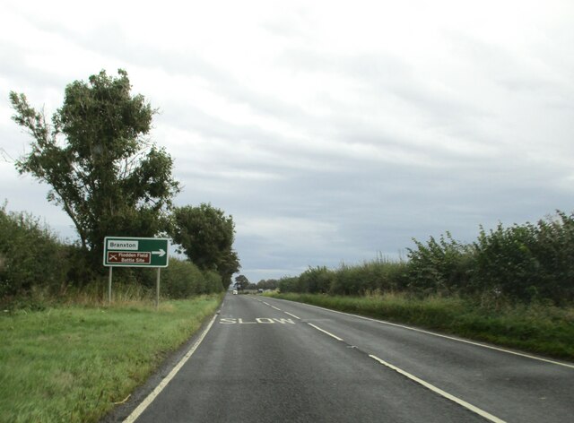
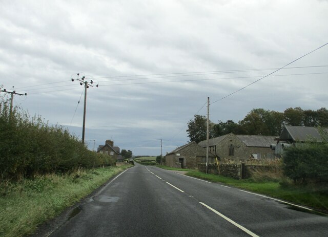
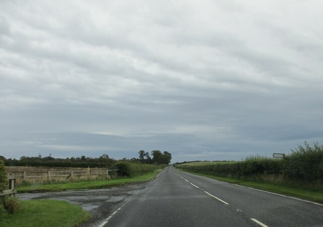
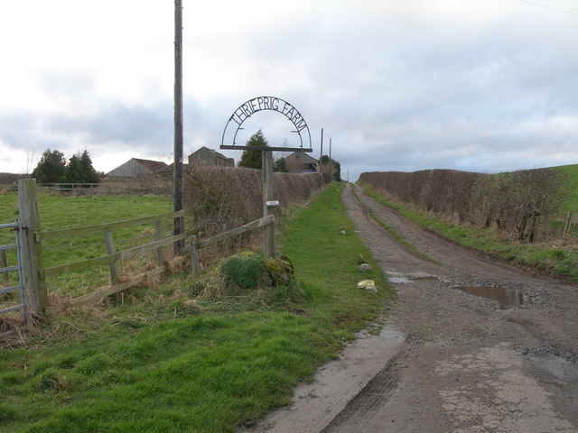
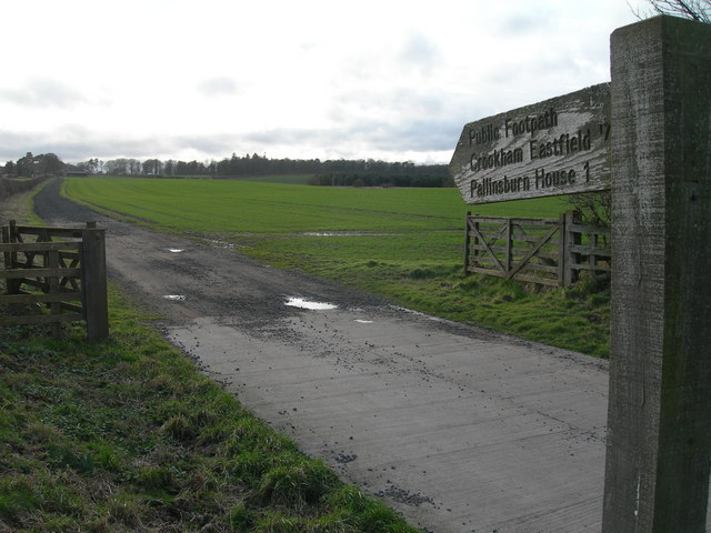
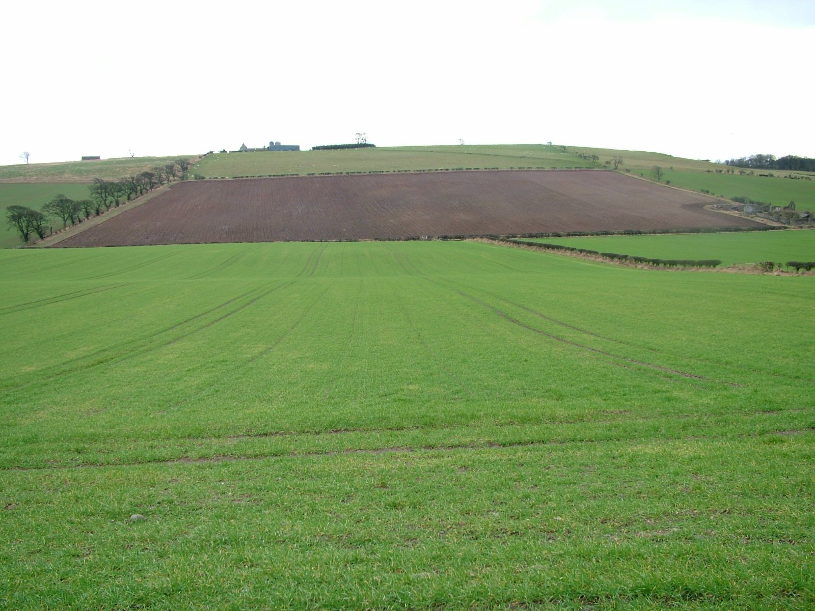
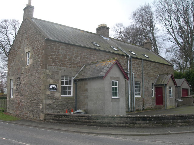
Fill-the-Firkins Plantation Images
Images are sourced within 2km of 55.649984/-2.1681706 or Grid Reference NT8939. Thanks to Geograph Open Source API. All images are credited.


Fill-the-Firkins Plantation is located at Grid Ref: NT8939 (Lat: 55.649984, Lng: -2.1681706)
Unitary Authority: Northumberland
Police Authority: Northumbria
What 3 Words
///adjusting.upstairs.ideal. Near Coldstream, Scottish Borders
Nearby Locations
Related Wikis

Pallinsburn House
Pallinsburn House is an 18th-century country house situated at Ford, Northumberland. It is a Grade II* listed building. The house was built about 1763...
Branxton, Northumberland
Branxton is a village and civil parish in northern Northumberland, England. It lies about 3 miles (5 km) from the England-Scotland border and about 4 miles...
Bareless
Bareless is a village in Northumberland, England. == Governance == Bareless is in the parliamentary constituency of Berwick-upon-Tweed. == References ==

Heaton Castle
Heaton Castle (anciently Heton) in the parish of Cornhill-on-Tweed, Northumberland, England, is a ruined historic castle near the Scottish border. It is...
Related Videos

Flodden Battlefield With Music On History Visit From Scotland To Northumberland In Northern England
Tour Scotland 4K short travel video clip, with Scottish bagpipes music, of Flodden Battlefield on ancestry, genealogy, family history ...

TipToe in Northumberland
walking to TipToe on tiptoe.

Flodden Field With Music On History Visit Near Branxton Northumberland In Northern England
Tour Scotland 4K short travel video clip, with Scottish music, of Flodden Field on history visit near Branxton in Northumberland, ...
Have you been to Fill-the-Firkins Plantation?
Leave your review of Fill-the-Firkins Plantation below (or comments, questions and feedback).