Cockpitdean Plantation
Wood, Forest in Northumberland
England
Cockpitdean Plantation

Cockpitdean Plantation is a picturesque woodland located in the county of Northumberland, England. Spread across a vast expanse of lush greenery, it is a well-preserved forest that offers visitors a peaceful retreat from the bustling city life.
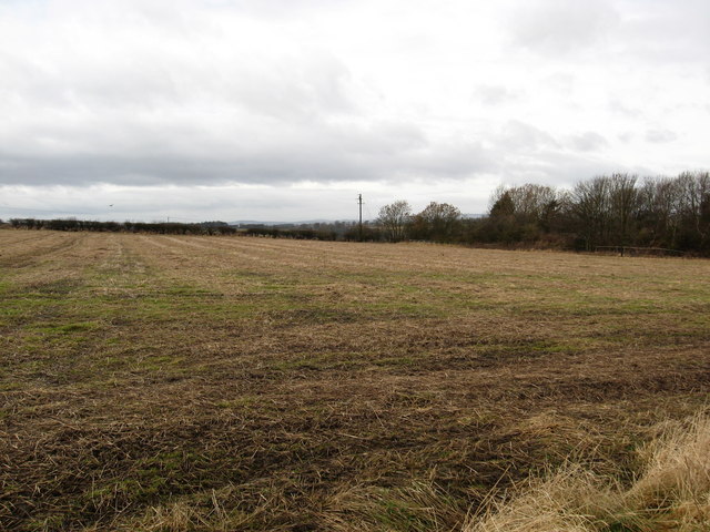
Covering an area of approximately (insert size), the plantation is home to a diverse range of tree species, including oak, beech, pine, and birch. These towering trees create a dense canopy, allowing only dappled sunlight to filter through, giving the woodland a magical and enchanting atmosphere.
The forest floor is carpeted with a rich tapestry of wildflowers, ferns, and moss, providing a haven for various species of flora and fauna. Nature enthusiasts can spot a variety of woodland birds, such as woodpeckers, owls, and thrushes, as well as small mammals like squirrels and rabbits.
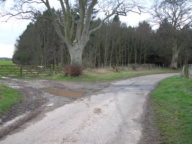
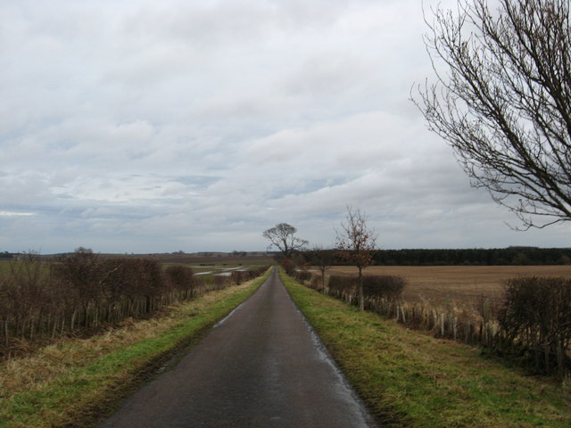
Cockpitdean Plantation offers a network of well-maintained walking trails, providing visitors with the opportunity to explore the woodland at their own pace. The paths wind through the forest, leading to hidden clearings and secluded spots, perfect for picnics or quiet contemplation.
The plantation is a popular destination for outdoor activities, including hiking, birdwatching, and photography. It also attracts visitors during the autumn months when the leaves of the trees change color, creating a stunning display of reds, yellows, and oranges.
Overall, Cockpitdean Plantation is a haven of natural beauty, providing visitors with a serene and idyllic woodland experience. Whether it's a leisurely stroll or an adventurous hike, this Northumberland forest offers a perfect escape into nature.
If you have any feedback on the listing, please let us know in the comments section below.
Cockpitdean Plantation Images
Images are sourced within 2km of 55.701278/-2.1698708 or Grid Reference NT8945. Thanks to Geograph Open Source API. All images are credited.


Cockpitdean Plantation is located at Grid Ref: NT8945 (Lat: 55.701278, Lng: -2.1698708)
Unitary Authority: Northumberland
Police Authority: Northumbria
What 3 Words
///tastings.decays.steaming. Near Coldstream, Scottish Borders
Nearby Locations
Related Wikis

Ladykirk, Scottish Borders
Ladykirk is a village on the B6470 in the Scottish Borders area of Scotland, and the former Berwickshire, just north of the River Tweed and the Anglo...
Norham railway station
Norham railway station served the village of Norham, Northumberland, England, from 1849 to 1965 on the Kelso Branch. == History == The station opened on...
Norham
Norham ( NORR-əm) is a village and civil parish in Northumberland, England. It is 7 miles (11 km) south-west of Berwick on the south side of the River...
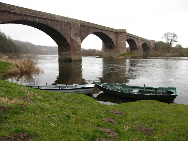
Ladykirk and Norham Bridge
The Ladykirk and Norham Bridge connects Ladykirk in the Borders, Scotland, with Norham in Northumberland, England, across the River Tweed. It's one of...
Nearby Amenities
Located within 500m of 55.701278,-2.1698708Have you been to Cockpitdean Plantation?
Leave your review of Cockpitdean Plantation below (or comments, questions and feedback).