Footballmoor Plantation
Wood, Forest in Northumberland
England
Footballmoor Plantation

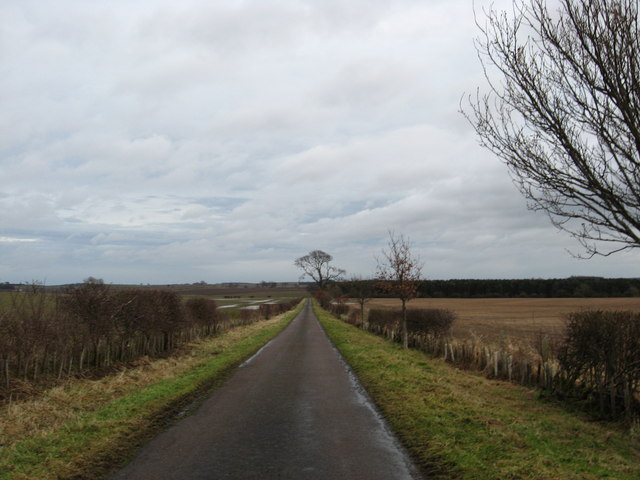
Footballmoor Plantation is a picturesque woodland located in Northumberland, England. Covering an area of approximately 500 acres, this enchanting forest is a haven for nature lovers and outdoor enthusiasts. The plantation is situated in the stunning countryside of Northumberland, known for its rolling hills and diverse wildlife.
The woodland is primarily composed of native tree species such as oak, birch, and beech, creating a rich and biodiverse ecosystem. The dense canopy provides a habitat for a variety of bird species, including woodpeckers and owls, making it a popular spot for birdwatchers.
Footballmoor Plantation offers numerous walking trails that wind their way through the forest, providing visitors with a chance to immerse themselves in the tranquility of nature. As you stroll along the well-maintained paths, you will encounter vibrant wildflowers, moss-covered rocks, and babbling brooks, creating a truly magical atmosphere.
The plantation is also home to a diverse range of wildlife, including deer, foxes, and squirrels. Nature enthusiasts can spot these animals while exploring the forest or simply find a quiet spot to observe and appreciate their presence.
Footballmoor Plantation is a popular destination for outdoor activities such as hiking, cycling, and picnicking. The well-marked trails cater to all levels of fitness, making it accessible for both seasoned adventurers and families with young children.
Overall, Footballmoor Plantation in Northumberland offers a peaceful retreat from the hustle and bustle of everyday life, providing visitors with a chance to reconnect with nature and enjoy the beauty of the English countryside.
If you have any feedback on the listing, please let us know in the comments section below.
Footballmoor Plantation Images
Images are sourced within 2km of 55.699966/-2.1762611 or Grid Reference NT8945. Thanks to Geograph Open Source API. All images are credited.


Footballmoor Plantation is located at Grid Ref: NT8945 (Lat: 55.699966, Lng: -2.1762611)
Unitary Authority: Northumberland
Police Authority: Northumbria
What 3 Words
///comic.twinge.heartache. Near Coldstream, Scottish Borders
Nearby Locations
Related Wikis

Ladykirk, Scottish Borders
Ladykirk is a village on the B6470 in the Scottish Borders area of Scotland, and the former Berwickshire, just north of the River Tweed and the Anglo...

Twizell railway station
Twizell railway station served the historic village of Twizell, Northumberland, England, from 1861 to 1955 on the Kelso Branch. == History == The station...

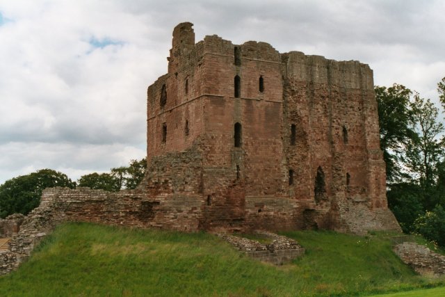
Twizell Castle
Twizell Castle (also spelt Twizel) is a Grade II* listed building and a Scheduled Ancient Monument which stands on a bend of the River Till at Tillmouth...
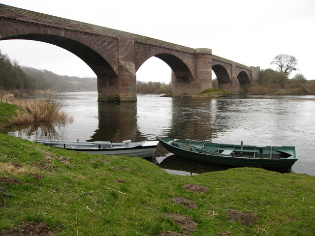
Ladykirk and Norham Bridge
The Ladykirk and Norham Bridge connects Ladykirk in the Borders, Scotland, with Norham in Northumberland, England, across the River Tweed. It's one of...
Norham railway station
Norham railway station served the village of Norham, Northumberland, England, from 1849 to 1965 on the Kelso Branch. == History == The station opened on...
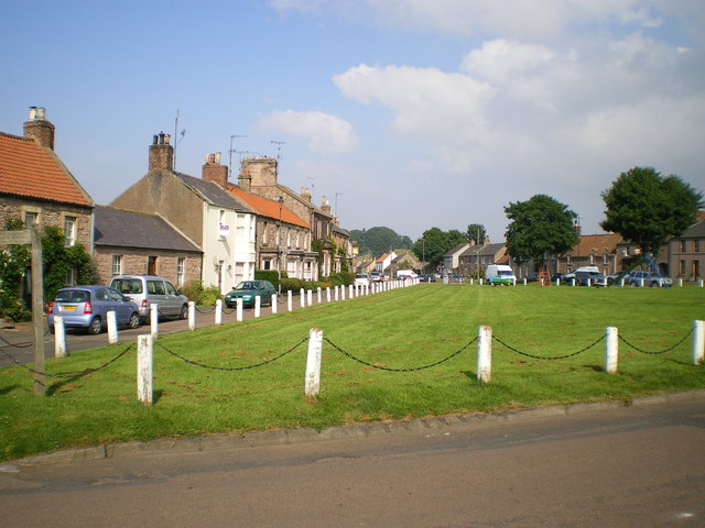
Norham
Norham ( NORR-əm) is a village and civil parish in Northumberland, England. It is 7 miles (11 km) south-west of Berwick on the south side of the River...
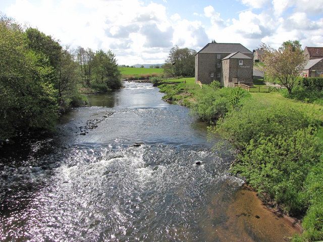
River Till, Northumberland
The River Till is a river of north-eastern Northumberland. It is a tributary of the River Tweed, of which it is the only major tributary to flow wholly...
Norham Castle
Norham Castle (sometimes Nornam) is a castle in Northumberland, England, overlooking the River Tweed, on the border between England and Scotland. It is...
Nearby Amenities
Located within 500m of 55.699966,-2.1762611Have you been to Footballmoor Plantation?
Leave your review of Footballmoor Plantation below (or comments, questions and feedback).