Botley Oak Brake
Wood, Forest in Wiltshire
England
Botley Oak Brake
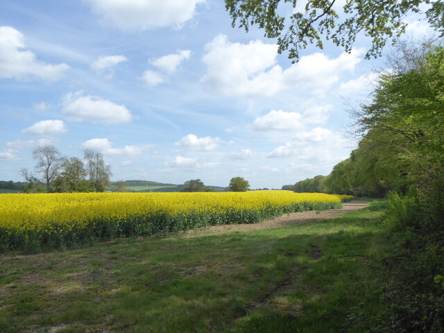
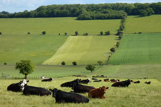
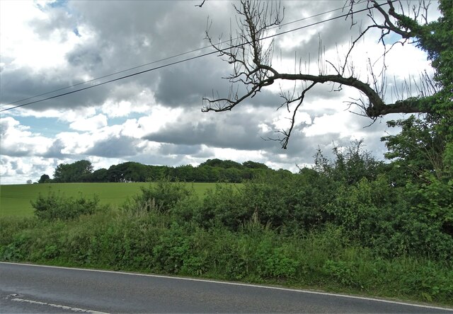
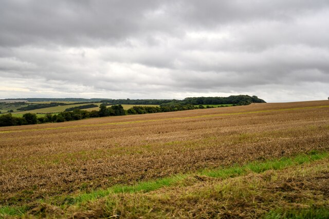
Botley Oak Brake is a picturesque woodland located in the county of Wiltshire, England. Situated near the village of Botley, it is a popular destination for nature enthusiasts, hikers, and wildlife lovers. Covering an area of approximately 50 acres, the brake is predominantly made up of oak trees, creating a serene and peaceful atmosphere.
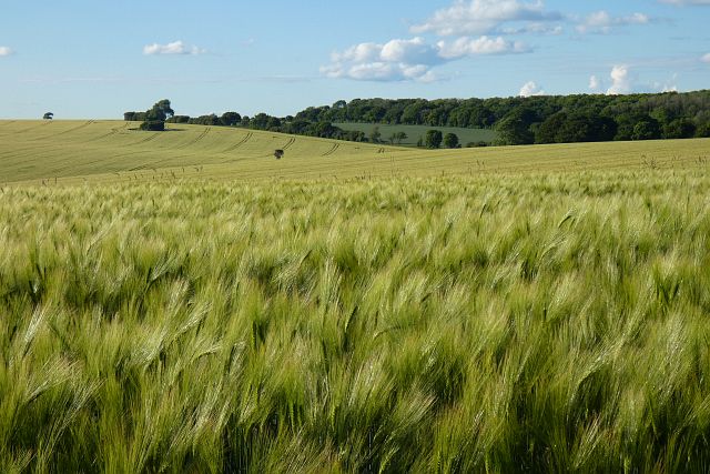
The woodland boasts a diverse range of flora and fauna, providing a habitat for various species of plants, birds, and animals. With its dense canopy and rich undergrowth, Botley Oak Brake offers a haven for woodland flowers such as bluebells, primroses, and wild garlic, which bloom vibrantly during the spring months.
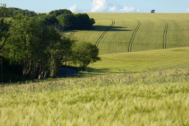
The forest floor is carpeted with a mixture of mosses, ferns, and fallen leaves, creating a soft and natural path for visitors to explore. The ancient oak trees, some of which have been standing for centuries, provide shade and shelter, while their gnarled trunks and twisting branches add to the overall charm of the woodland.
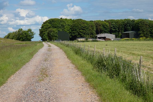
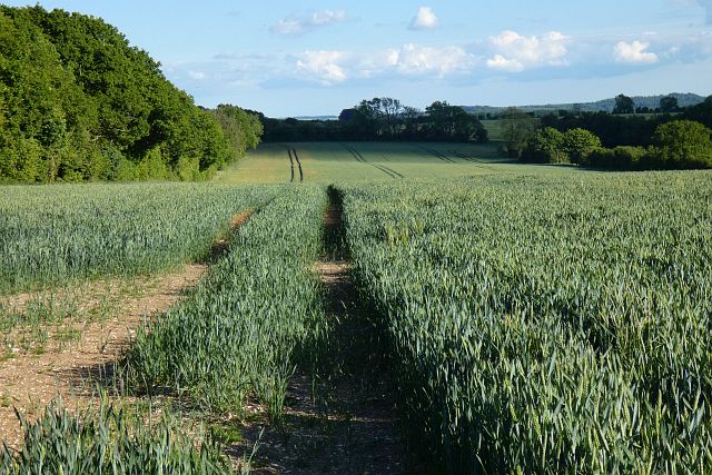
The brake is crisscrossed with a network of well-maintained footpaths, allowing visitors to navigate through the woodland and discover its hidden gems. The tranquil ambiance of Botley Oak Brake is enhanced by the gentle babbling of a small stream that meanders through the forest, adding to its magical appeal.
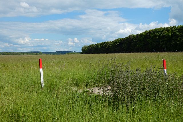
Nature lovers visiting Botley Oak Brake may have the opportunity to spot a variety of wildlife, including deer, squirrels, and a multitude of bird species. The woodland provides an excellent location for birdwatching, with sightings of woodpeckers, owls, and various songbirds being common.
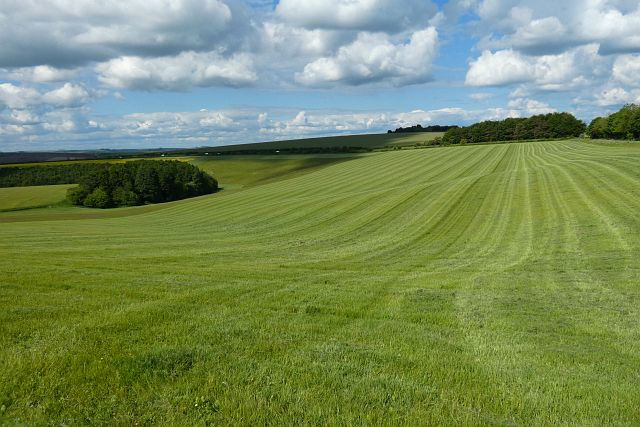
Overall, Botley Oak Brake offers a captivating and immersive experience for those seeking solace in nature, with its ancient oaks, diverse plant life, and abundance of wildlife making it a truly enchanting woodland retreat.
If you have any feedback on the listing, please let us know in the comments section below.
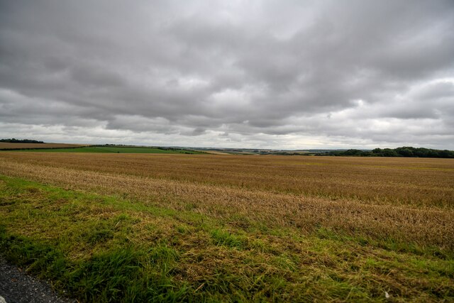
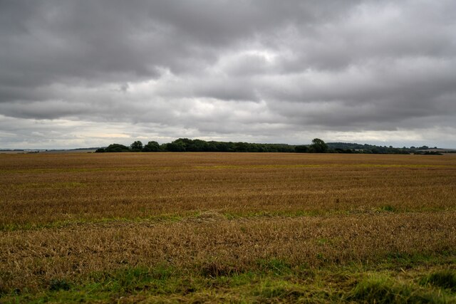
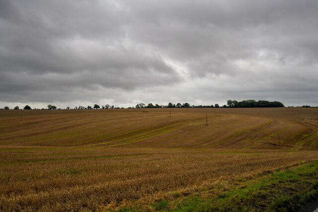
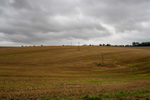
Botley Oak Brake Images
Images are sourced within 2km of 51.130629/-2.1525483 or Grid Reference ST8936. Thanks to Geograph Open Source API. All images are credited.


Botley Oak Brake is located at Grid Ref: ST8936 (Lat: 51.130629, Lng: -2.1525483)
Unitary Authority: Wiltshire
Police Authority: Wiltshire
What 3 Words
///instilled.reassured.roosters. Near Chicklade, Wiltshire
Nearby Locations
Related Wikis

1963 BAC One-Eleven test crash
The 1963 BAC One-Eleven test crash was a fatal accident of a British Aircraft Corporation prototype aircraft on 22 October 1963, near Chicklade in Wiltshire...

Tytherington Down
Tytherington Down (grid reference ST912385) is a 5.9 hectares (15 acres) biological Site of Special Scientific Interest in Wiltshire, England, notified...

Pertwood
Pertwood is an ancient settlement and former civil parish, near Warminster in the county of Wiltshire in the west of England. Its land and houses now lie...
Chicklade
Chicklade is a small village and civil parish in Wiltshire, South West England. The village is on the A303 road, about 7 miles (11 km) south of Warminster...

Great Ridge Wood
Great Ridge Wood, formerly also known as Chicklade Wood, is one of the largest woodlands in southern Wiltshire, England. Mostly within the parishes of...

Brixton Deverill
Brixton Deverill is a small village and civil parish about 4 miles (6.4 km) south of Warminster in Wiltshire, England. The parish is in the Deverill Valley...

Monkton Deverill
Monkton Deverill (anciently known as East Monkton) is a village and former civil parish, now in the parish of Kingston Deverill, in Wiltshire, England...

Hindon, Wiltshire
Hindon is a village and civil parish in Wiltshire, England, about 16 miles (26 km) west of Salisbury and 9.6 miles (15.4 km) south of Warminster. It is...
Nearby Amenities
Located within 500m of 51.130629,-2.1525483Have you been to Botley Oak Brake?
Leave your review of Botley Oak Brake below (or comments, questions and feedback).