Fingerburn Plantation

Wood, Forest in Northumberland

England

Fingerburn Plantation

River Till at Tiptoe, Northumberland
River Till at Tiptoe, Northumberland Credit: Lisa Jarvis

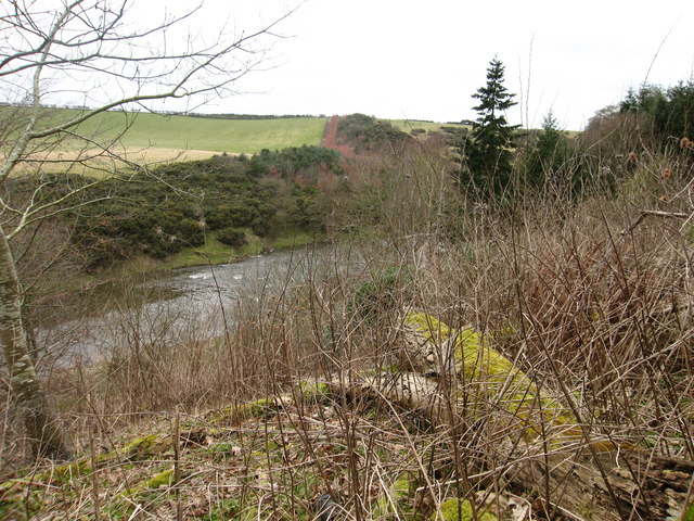
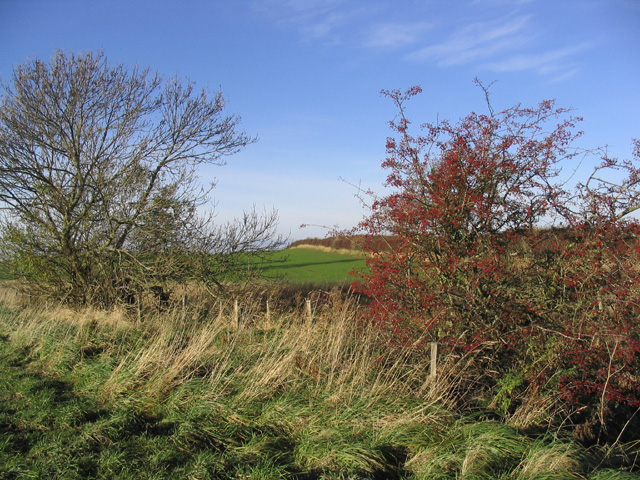
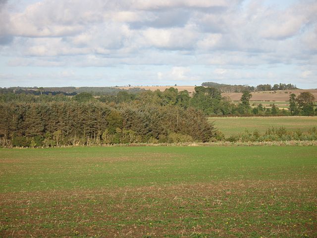
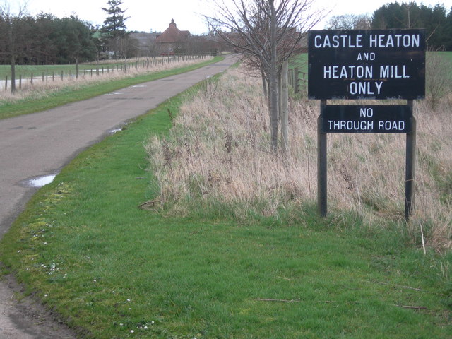
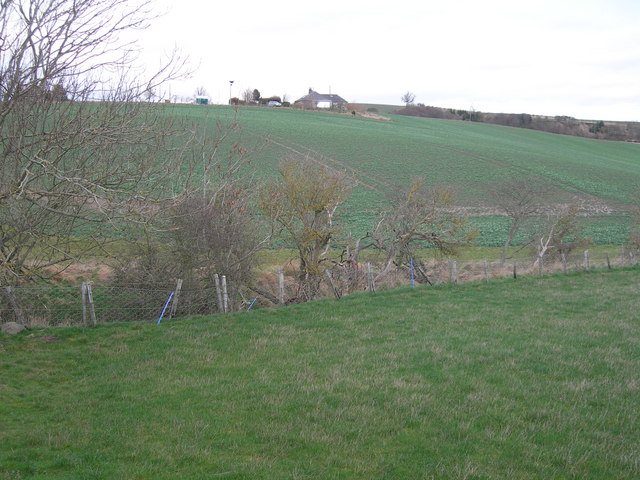
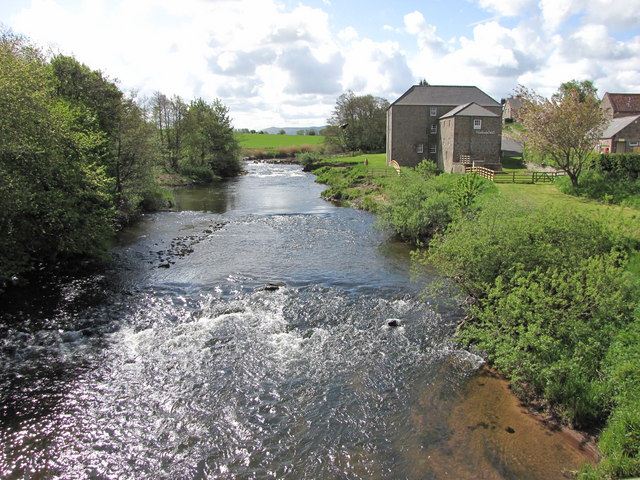
Fingerburn Plantation is a picturesque woodland area located in the Northumberland region of England. Situated in the heart of the county, the plantation is known for its abundant natural beauty and diverse array of flora and fauna. Covering a total area of approximately 500 acres, this enchanting woodland is a haven for nature lovers and outdoor enthusiasts.

The plantation is predominantly composed of native broadleaf trees, including oak, beech, and birch, which provide a stunning canopy of foliage throughout the year. The dense forest floor is carpeted with a variety of wildflowers, ferns, and mosses, creating a vibrant and lush landscape.

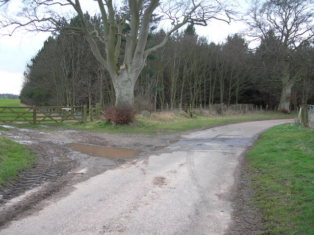
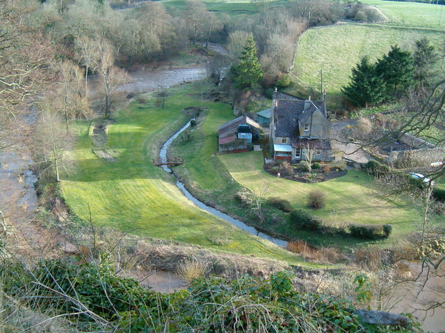
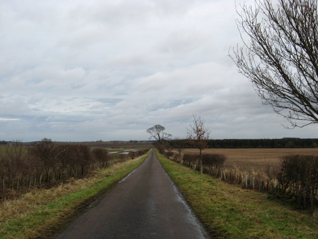
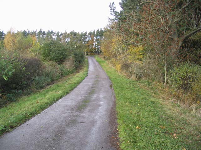
A network of well-maintained walking trails wind their way through the plantation, offering visitors the opportunity to explore its hidden treasures. Along these paths, visitors can discover charming streams, small ponds, and even a picturesque waterfall, adding to the area's tranquil ambiance.

Fingerburn Plantation is also home to a wide range of wildlife. Birdwatchers can spot various species, such as woodpeckers, owls, and songbirds, while nature enthusiasts may encounter deer, foxes, rabbits, and other small mammals. The plantation provides a vital habitat for these creatures, contributing to the region's biodiversity.

With its natural beauty and tranquil atmosphere, Fingerburn Plantation is a popular destination for those seeking solace in nature. Whether it is for a peaceful walk, wildlife observation, or simply enjoying the serenity of the woodland, this captivating plantation offers a unique and immersive experience for visitors of all ages.

If you have any feedback on the listing, please let us know in the comments section below.

Fingerburn Plantation Images

Images are sourced within 2km of 55.67939/-2.1697122 or Grid Reference NT8942. Thanks to Geograph Open Source API. All images are credited.

River Till at Tiptoe, Northumberland
Stubble field near Shellacres Farm
Field boundary A good wildlife habitat with a rough field margin and trees by this fence.
Field boundary
A good wildlife habitat with a rough field margin and trees by this fence.
Westmoor Plantation
Westmoor Plantation
Mill on the Till Heaton Mill on the River Till.
Mill on the Till
Heaton Mill on the River Till.
Winter crops, Castle Heaton A low plateau with the River Till running in a steep sided channel out of sight below.
Winter crops, Castle Heaton
A low plateau with the River Till running in a steep sided channel out of sight below.
Tiptoe Farm Cottages Cottage at Tiptoe Farm - the farm specialises in growing old fashioned varieties of potatoes.
Tiptoe Farm Cottages
Cottage at Tiptoe Farm - the farm specialises in growing old fashioned varieties of potatoes.
Country road heading for Westmoor Plantation In north Northumberland.
Country road heading for Westmoor Plantation
In north Northumberland.
Tillmouth Park gates the smudged bit might be deemed an advert, so don't read it
Tillmouth Park gates
the smudged bit might be deemed an advert, so don't read it
Twizel Bridge According to the OS map this is a reconstructed bridge - it's certainly in very good condition. No vehicular traffic any more which can't hurt.
Bridge is over the River Till
Twizel Bridge
According to the OS map this is a reconstructed bridge - it's certainly in very good condition. No vehicular traffic any more which can't hurt. Bridge is over the River Till
Twizel Castle Twizel Castle, near Berwick-upon-Tweed, was originally a 15th century stone tower house that was destroyed in 1496. Remains were incorporated into a late 18th century five storey Gothic mansion. The house was never finished.
Twizel Castle
Twizel Castle, near Berwick-upon-Tweed, was originally a 15th century stone tower house that was destroyed in 1496. Remains were incorporated into a late 18th century five storey Gothic mansion. The house was never finished.
Remains of Twizel Castle Twizel Castle is an 18th century folly, started in about 1770 by Sir Francis Blake, but never finished. The folly is a long, rectangular building, with two wings on the north side and circular towers at each corner. It stands two storeys high, although it originally stood to five storeys.
Remains of Twizel Castle
Twizel Castle is an 18th century folly, started in about 1770 by Sir Francis Blake, but never finished. The folly is a long, rectangular building, with two wings on the north side and circular towers at each corner. It stands two storeys high, although it originally stood to five storeys.
Country road This minor road joins the A698 at Wideopen Plantation.
Country road
This minor road joins the A698 at Wideopen Plantation.
Set aside area near Shellacres
Entrance to Castle Heaton
Farmland near Heaton
Tillmouth Farm Derelict farm equipment at Tillmouth Farm
Tillmouth Farm
Derelict farm equipment at Tillmouth Farm
Cartsheds at Shellacres Farm Cartsheds at Shellacres Farm
Cartsheds at Shellacres Farm
Show me another place!

Fingerburn Plantation is located at Grid Ref: NT8942 (Lat: 55.67939, Lng: -2.1697122)

Unitary Authority: Northumberland

Police Authority: Northumbria

What 3 Words

///supposing.puffed.knee. Near Coldstream, Scottish Borders

Nearby Locations

Fingerburn Plantation

Related Wikis

Heaton Castle

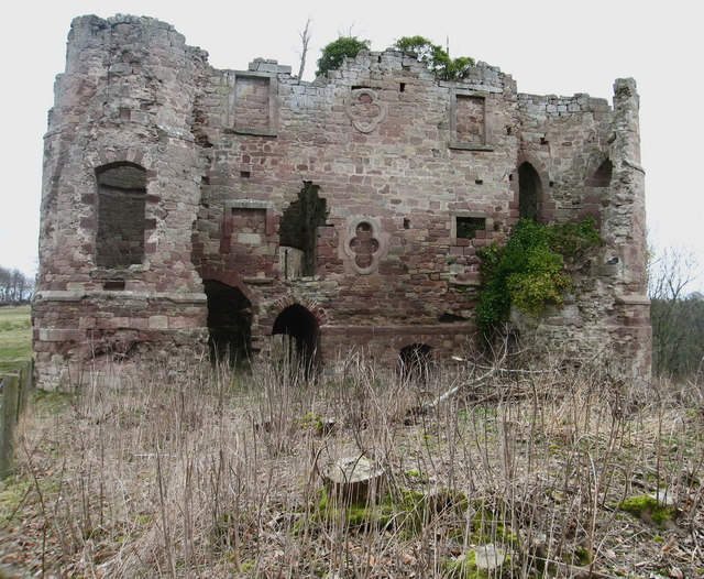
Heaton Castle (anciently Heton) in the parish of Cornhill-on-Tweed, Northumberland, England, is a ruined historic castle near the Scottish border. It is...

Twizell Castle

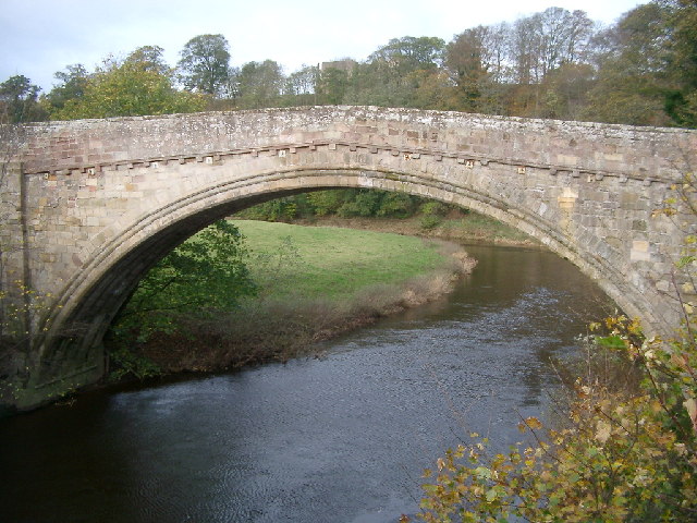
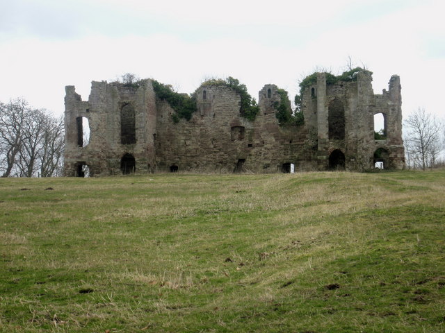
Twizell Castle (also spelt Twizel) is a Grade II* listed building and a Scheduled Ancient Monument which stands on a bend of the River Till at Tillmouth...

Twizell railway station

Twizell railway station served the historic village of Twizell, Northumberland, England, from 1861 to 1955 on the Kelso Branch. == History == The station...

River Till, Northumberland

The River Till is a river of north-eastern Northumberland. It is a tributary of the River Tweed, of which it is the only major tributary to flow wholly...

Nearby Amenities

Located within 500m of 55.67939,-2.1697122
Power: pole
Lat/Long: 55.6757363/-2.1722447
Mill Hill
Natural: peak
Lat/Long: 55.6796775/-2.1771802
Power: pole
Source: Bing
Lat/Long: 55.6795731/-2.1661896
Power: pole
Source: Bing
Lat/Long: 55.6807644/-2.1658724
Power: pole
Source: Bing
Lat/Long: 55.6830988/-2.1652508
Power: pole
Source: Bing
Lat/Long: 55.6820027/-2.1655427
Power: pole
Source: Bing
Lat/Long: 55.6834051/-2.169663
Power: pole
Source: Bing
Lat/Long: 55.682946/-2.1683148
Power: pole
Source: Bing
Lat/Long: 55.6824695/-2.1669154
The data included in this document is from www.openstreetmap.org. The data is made available under ODbL.

Have you been to Fingerburn Plantation?

Leave your review of Fingerburn Plantation below (or comments, questions and feedback).