Round Wood

Wood, Forest in Staffordshire Staffordshire Moorlands

England

Round Wood

View over a hedge Looking north towards Whitemoor, over the valley of Biddulph Brook, from the side of the A527.
View over a hedge Credit: Richard Dorrell

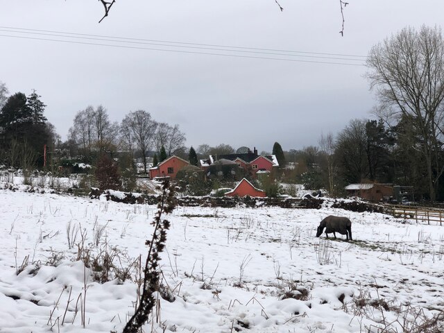
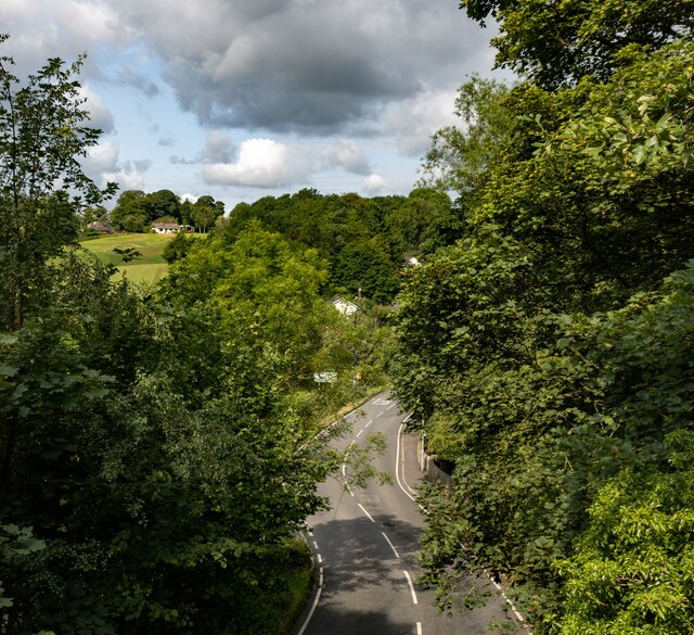
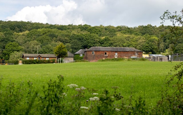
Round Wood is a small woodland area located in the county of Staffordshire, England. Situated near the village of Wood, it covers an area of approximately 20 acres. The wood is characterized by its circular shape, which gives it its distinctive name.

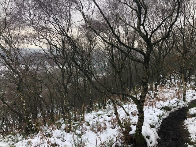
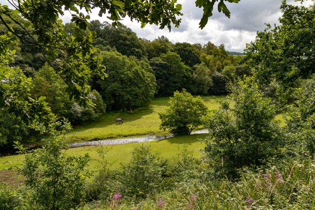
The woodland is predominantly composed of broadleaf trees, including oak, beech, and ash. These trees provide a rich habitat for a variety of wildlife, including birds, mammals, and insects. The wood is especially popular among birdwatchers, who come to spot species such as woodpeckers, owls, and warblers.

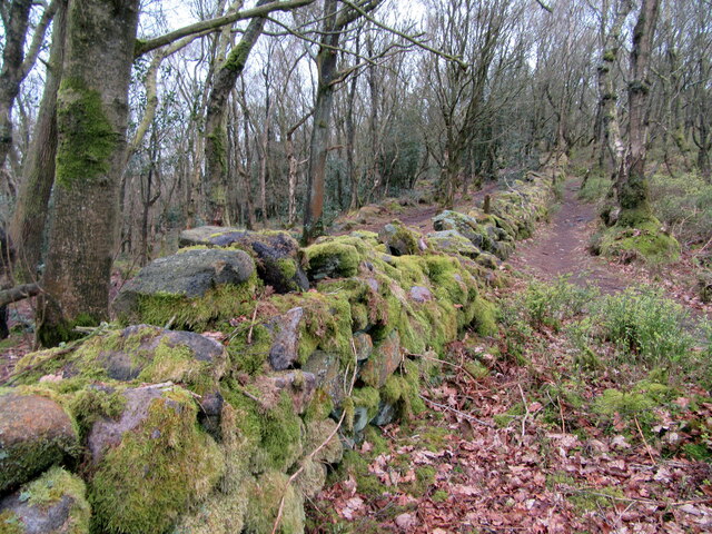
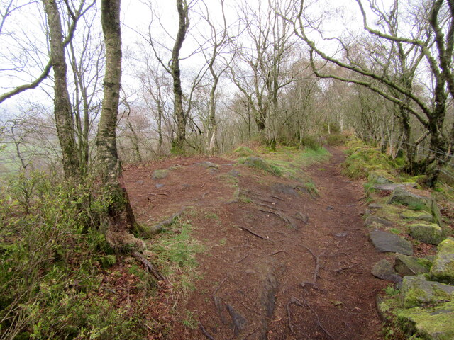
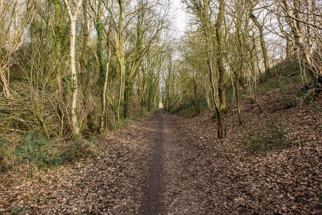
Round Wood is a haven for nature enthusiasts and offers various walking trails that meander through the forest. These trails provide an opportunity to explore the wood's diverse flora and fauna, and also offer scenic views of the surrounding countryside. The wood is particularly vibrant during the spring and summer months, when wildflowers carpet the forest floor and birdsong fills the air.

The woodland is managed by a local conservation group, who work tirelessly to preserve its natural beauty and protect its inhabitants. They regularly organize educational events and guided walks to promote awareness and appreciation of the wood's ecological importance.

Round Wood is a cherished local treasure, offering visitors a tranquil escape from the hustle and bustle of everyday life. Its peaceful atmosphere, rich biodiversity, and stunning natural beauty make it a must-visit destination for nature lovers in Staffordshire.

If you have any feedback on the listing, please let us know in the comments section below.
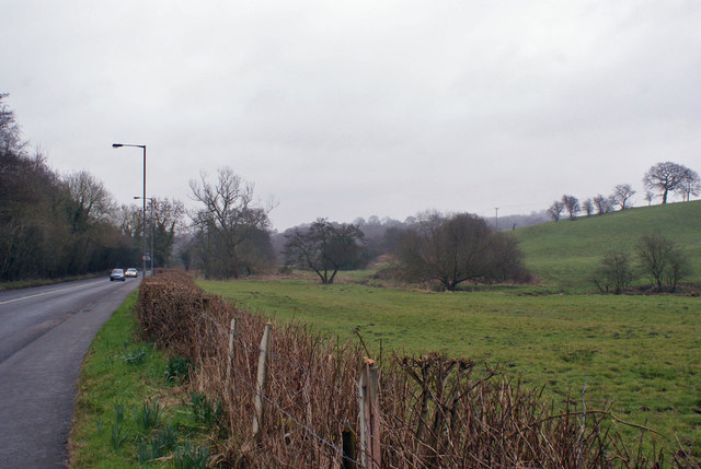
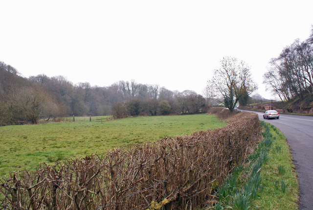
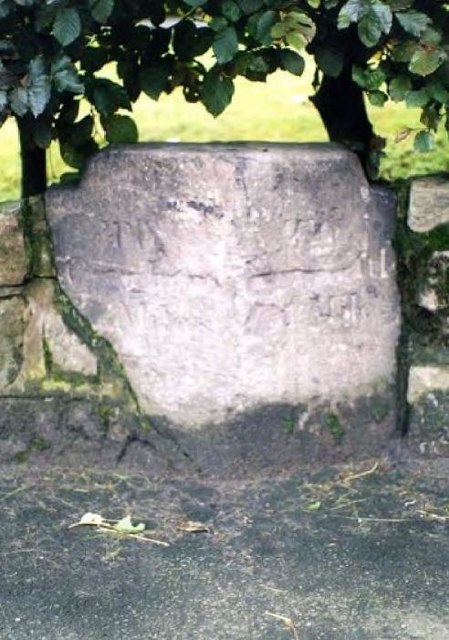
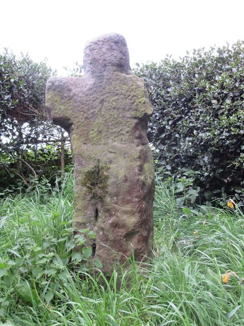
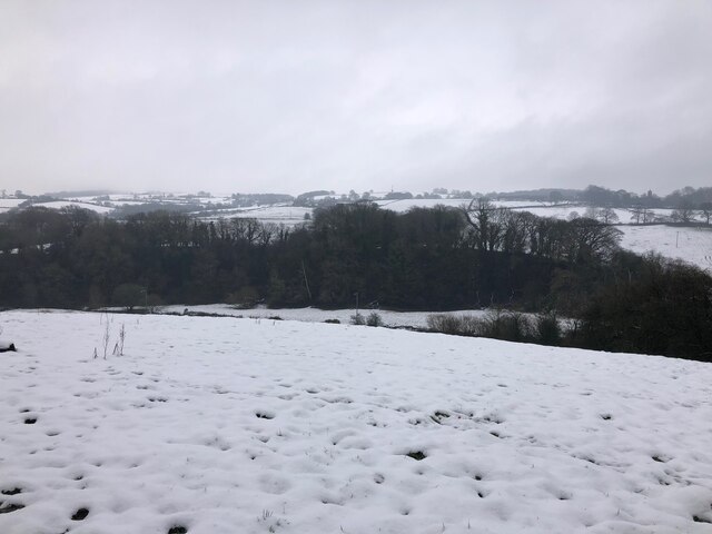
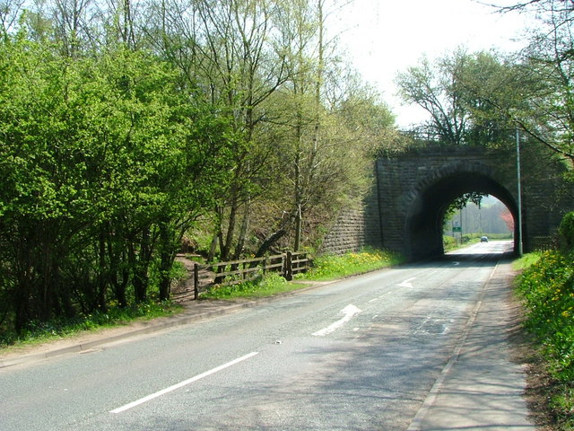
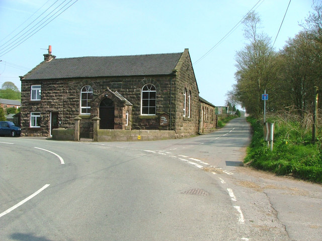
Round Wood Images

Images are sourced within 2km of 53.134623/-2.1765724 or Grid Reference SJ8859. Thanks to Geograph Open Source API. All images are credited.

View over a hedge Looking north towards Whitemoor, over the valley of Biddulph Brook, from the side of the A527.
View over a hedge
Looking north towards Whitemoor, over the valley of Biddulph Brook, from the side of the A527.
Valley of Biddulph Brook Here, the brook flows through grazing land, approximately parallel to the A527 road.
Valley of Biddulph Brook
Here, the brook flows through grazing land, approximately parallel to the A527 road.
Old Milestone by the A527, Whitemoor, BiddulphParish Carved stone post by the A527, in parish of BIDDULPH (STAFFORDSHIRE MOORLANDS District), Whitemoor near County Boundary, in low wall, on West side of road. Newcastle triangle stone, erected by the New Biddulph turnpike trust in the 19th century. Defaced.

Inscription reads:- : TO / Congleton / 1 Mile : : TO / Newcastle / 11 / Miles :   

Milestone Society National ID: ST_NCCO11.
Old Milestone by the A527, Whitemoor, BiddulphParish
Carved stone post by the A527, in parish of BIDDULPH (STAFFORDSHIRE MOORLANDS District), Whitemoor near County Boundary, in low wall, on West side of road. Newcastle triangle stone, erected by the New Biddulph turnpike trust in the 19th century. Defaced. Inscription reads:- : TO / Congleton / 1 Mile : : TO / Newcastle / 11 / Miles : Milestone Society National ID: ST_NCCO11.
Old Wayside Cross by Overton Road, Biddulph parish Shepherd's Cross, old head and shaft, by the wayside, in parish of Biddulph (Staffordshire Moorlands District), Overton Road, near Biddulph Grange Garden.

Grade II listed.
List Entry Number: 1190201 <span class="nowrap"><a title="https://historicengland.org.uk/listing/the-list/list-entry/1190201" rel="nofollow ugc noopener" href="https://historicengland.org.uk/listing/the-list/list-entry/1190201">Link</a><img style="margin-left:2px;" alt="External link" title="External link - shift click to open in new window" src="https://s1.geograph.org.uk/img/external.png" width="10" height="10"/></span>
Scheduled Monument.
List Entry Number: 1014689 <span class="nowrap"><a title="https://historicengland.org.uk/listing/the-list/list-entry/1014689" rel="nofollow ugc noopener" href="https://historicengland.org.uk/listing/the-list/list-entry/1014689">Link</a><img style="margin-left:2px;" alt="External link" title="External link - shift click to open in new window" src="https://s1.geograph.org.uk/img/external.png" width="10" height="10"/></span>

To be surveyed

Milestone Society National ID: STMO_BID01
Old Wayside Cross by Overton Road, Biddulph parish
Shepherd's Cross, old head and shaft, by the wayside, in parish of Biddulph (Staffordshire Moorlands District), Overton Road, near Biddulph Grange Garden. Grade II listed. List Entry Number: 1190201 LinkExternal link Scheduled Monument. List Entry Number: 1014689 LinkExternal link To be surveyed Milestone Society National ID: STMO_BID01
The Castle Inn By the A527 heading out of Congleton towards Biddulph.
The Castle Inn
By the A527 heading out of Congleton towards Biddulph.
Mossy wall on Congleton Edge
Path on Congleton Edge
View over Whitemoor from Biddulph Valley Way Living up to its name.
View over Whitemoor from Biddulph Valley Way
Living up to its name.
Path through Birch Wood on Congleton Edge
Dreamcatcher Meadows
Congleton Golf Club
Congleton Golf Club
Biddulph Valley Way Path <span class="nowrap"><a title="https://en.wikipedia.org/wiki/Biddulph_Valley_line" rel="nofollow ugc noopener" href="https://en.wikipedia.org/wiki/Biddulph_Valley_line">Link</a><img style="margin-left:2px;" alt="External link" title="External link - shift click to open in new window" src="https://s1.geograph.org.uk/img/external.png" width="10" height="10"/></span>
Biddulph Valley Way Path
Reade's Lane Reade's Lane seen from the Biddulph Valley Way.
Reade's Lane
Reade's Lane seen from the Biddulph Valley Way.
Biddulph Valley Way Farm buildings alongside the Biddulph Valley Way.
Biddulph Valley Way
Farm buildings alongside the Biddulph Valley Way.
Higher Whitemoor Farm
Biddulph Brook Biddulph Brook seen from the Biddulph Valley Way.
Biddulph Brook
Biddulph Brook seen from the Biddulph Valley Way.
Bridge over A527 at Whitemoor Ex-railway bridge carries the Gritstone Way over the main Biddulph - Congleton road. Path onto trail is on left of picture. Sign marking Staffordshire/Cheshire border can be seen through the bridge arch.
Bridge over A527 at Whitemoor
Ex-railway bridge carries the Gritstone Way over the main Biddulph - Congleton road. Path onto trail is on left of picture. Sign marking Staffordshire/Cheshire border can be seen through the bridge arch.
Biddulph Park Methodist Chapel Established in 1860. The left hand part of the building is a private dwelling, not surprisingly called Chapel Cottage.
Biddulph Park Methodist Chapel
Established in 1860. The left hand part of the building is a private dwelling, not surprisingly called Chapel Cottage.
Show me another place!

Round Wood is located at Grid Ref: SJ8859 (Lat: 53.134623, Lng: -2.1765724)

Administrative County: Staffordshire

District: Staffordshire Moorlands

Police Authority: Staffordshire

What 3 Words

///food.impact.spike. Near Biddulph, Staffordshire

Related Wikis

Biddulph Grange

Biddulph Grange is a National Trust landscaped garden, in Biddulph near Stoke-on-Trent, Staffordshire, England. It is separate from Biddulph Grange Country...

Astbury, Cheshire

Astbury was one of the eight ancient parishes of the Macclesfield Hundred of Cheshire, England. It included two chapelries and ten townships. The chapelry...

Biddulph railway station

Biddulph railway station was a railway station opened by the North Staffordshire Railway in 1864. Originally named Gillow Heath the station was renamed...

Biddulph Grange Country Park

Biddulph Grange Country Park is a country park in Biddulph, UK. It was originally part of Biddulph Grange. == Contents == The 73 acres (0.30 km2) park...

Biddulph

Biddulph is a town in Staffordshire, England, 8.5 miles (14 km) north of Stoke-on-Trent and 4.5 miles (7 km) south-east of Congleton, Cheshire. == Origin... ==

Limekiln Wood Nature Reserve

Limekiln Wood Nature Reserve is a 13.1-hectare (32-acre) nature reserve in Cheshire, England, north of the village of Mow Cop. A Site of Special Scientific...

Braddocks Hay

Braddocks Hay is a village in Staffordshire, England. Population details for the 2011 census can be found under Biddulph

Congleton railway station

Congleton railway station is a mainline station serving the Cheshire market town of Congleton. It lies on the Stafford-Manchester branch of the West Coast...

Nearby Amenities

Located within 500m of 53.134623,-2.1765724
Kerb: no
Lat/Long: 53.133804/-2.1703786
The data included in this document is from www.openstreetmap.org. The data is made available under ODbL.

Have you been to Round Wood?

Leave your review of Round Wood below (or comments, questions and feedback).