Whitemore Wood

Wood, Forest in Staffordshire Staffordshire Moorlands

England

Whitemore Wood

Congleton Golf Club
Congleton Golf Club Credit: Eirian Evans

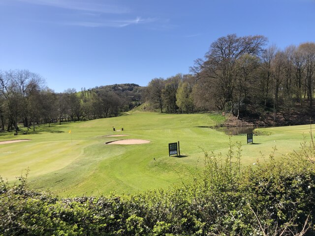
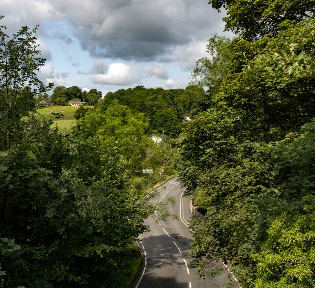
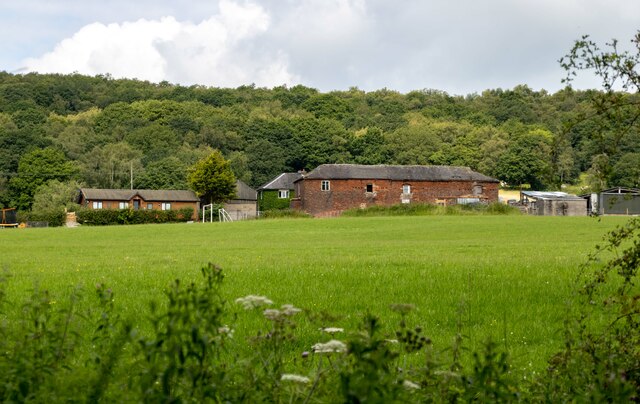
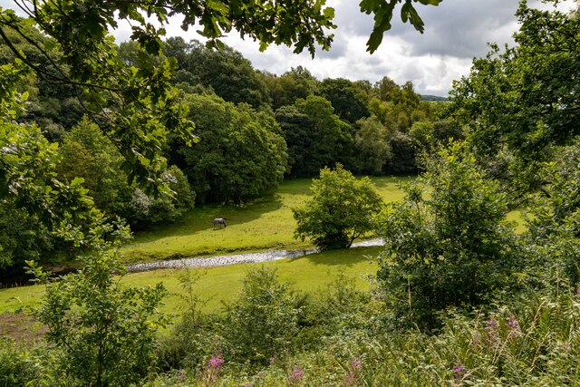
Whitemore Wood is a stunning forest located in Staffordshire, England. Covering an area of approximately 200 hectares, it is a popular destination for nature enthusiasts and outdoor lovers. The forest is nestled in a picturesque landscape, surrounded by rolling hills and meandering streams.

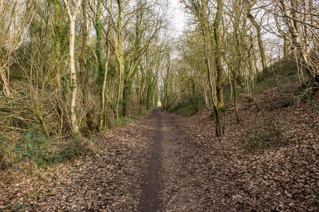
Whitemore Wood is known for its diverse range of flora and fauna. The forest is predominantly composed of broadleaf trees such as oak, beech, and birch, which create a dense canopy providing shelter and shade. The forest floor is adorned with a carpet of bluebells in the spring, creating a breathtaking sight.

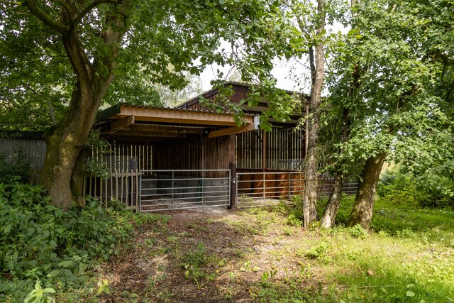
The wood is home to a rich variety of wildlife, including deer, foxes, badgers, and a plethora of bird species. Visitors may catch a glimpse of these creatures as they explore the numerous well-maintained walking trails that wind through the forest. These trails cater to all levels of fitness and offer opportunities for both leisurely strolls and more challenging hikes.

In addition to its natural beauty, Whitemore Wood also boasts several recreational facilities. There are picnic areas scattered throughout the forest, providing the perfect spot for visitors to relax and enjoy a meal surrounded by nature. The forest is also equipped with well-maintained cycling paths, attracting cyclists of all ages and abilities.

Whitemore Wood is easily accessible, with ample parking facilities and well-signposted entrances. It offers a peaceful and tranquil retreat from the bustling city life, allowing visitors to reconnect with nature and enjoy the serenity of the forest.

If you have any feedback on the listing, please let us know in the comments section below.

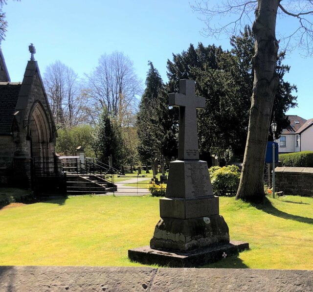
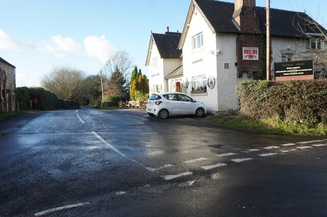
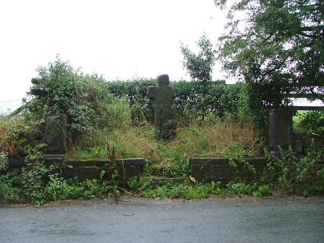
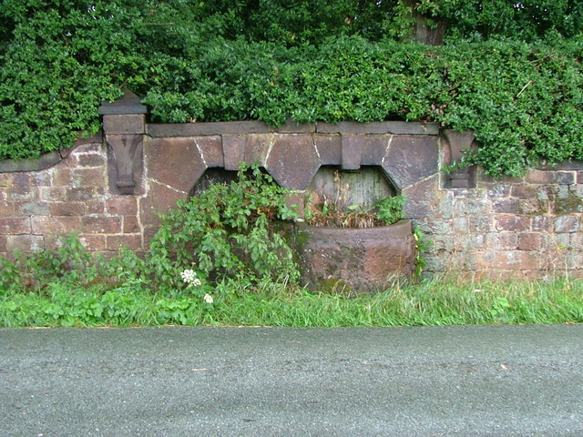
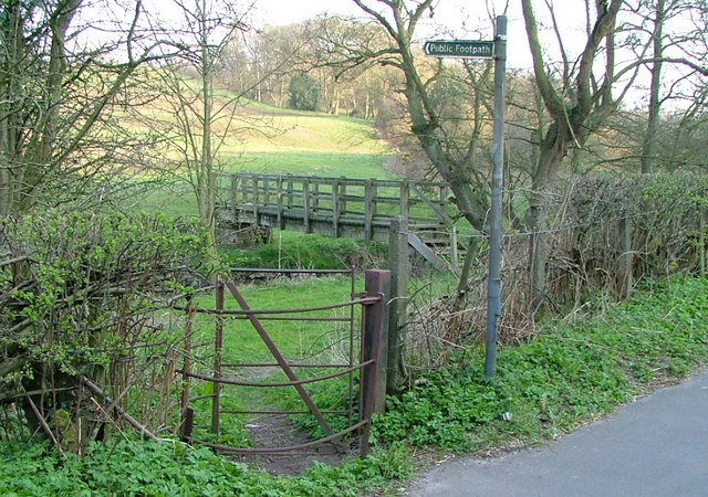
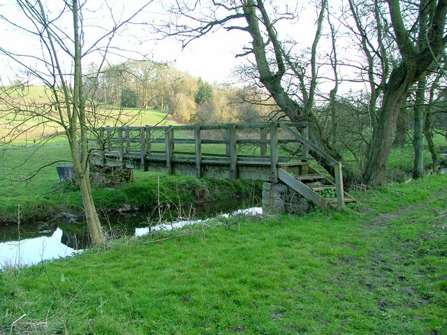
Whitemore Wood Images

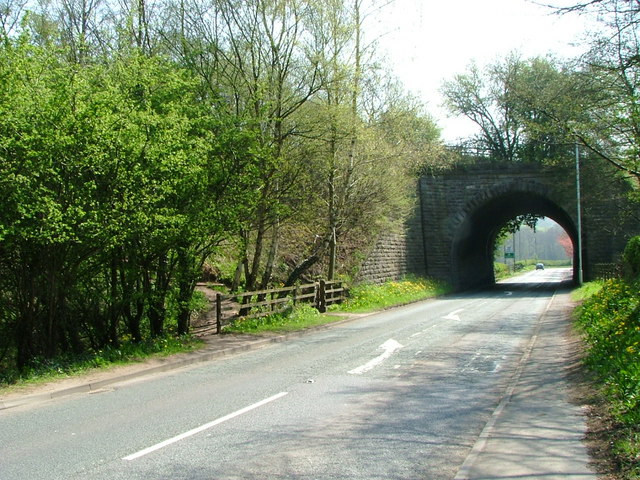
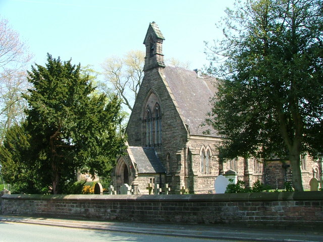
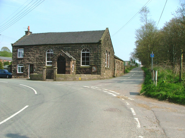
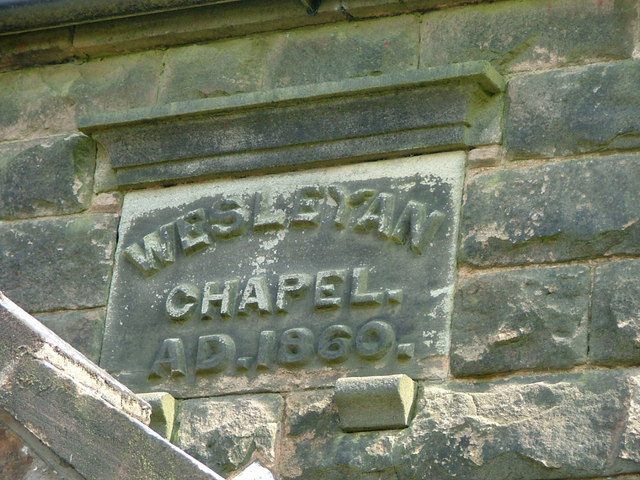
Images are sourced within 2km of 53.136911/-2.1793023 or Grid Reference SJ8859. Thanks to Geograph Open Source API. All images are credited.

Congleton Golf Club
Congleton Golf Club
War Memorial at Holy Trinity Church, Hightown
Fence Lane from Mow Lane
Biddulph Valley Way Path <span class="nowrap"><a title="https://en.wikipedia.org/wiki/Biddulph_Valley_line" rel="nofollow ugc noopener" href="https://en.wikipedia.org/wiki/Biddulph_Valley_line">Link</a><img style="margin-left:2px;" alt="External link" title="External link - shift click to open in new window" src="https://s1.geograph.org.uk/img/external.png" width="10" height="10"/></span>
Biddulph Valley Way Path
Reade's Lane Reade's Lane seen from the Biddulph Valley Way.
Reade's Lane
Reade's Lane seen from the Biddulph Valley Way.
Biddulph Valley Way Farm buildings alongside the Biddulph Valley Way.
Biddulph Valley Way
Farm buildings alongside the Biddulph Valley Way.
Higher Whitemoor Farm
Biddulph Brook Biddulph Brook seen from the Biddulph Valley Way.
Biddulph Brook
Biddulph Brook seen from the Biddulph Valley Way.
Bridge over A527 at Whitemoor Ex-railway bridge carries the Gritstone Way over the main Biddulph - Congleton road. Path onto trail is on left of picture. Sign marking Staffordshire/Cheshire border can be seen through the bridge arch.
Bridge over A527 at Whitemoor
Ex-railway bridge carries the Gritstone Way over the main Biddulph - Congleton road. Path onto trail is on left of picture. Sign marking Staffordshire/Cheshire border can be seen through the bridge arch.
Holy Trinity Church Founded in 1846 as the parish church for the Mossley district of Congleton
Holy Trinity Church
Founded in 1846 as the parish church for the Mossley district of Congleton
Biddulph Park Methodist Chapel Established in 1860. The left hand part of the building is a private dwelling, not surprisingly called Chapel Cottage.
Biddulph Park Methodist Chapel
Established in 1860. The left hand part of the building is a private dwelling, not surprisingly called Chapel Cottage.
Date stone of Biddulph Park Chapel
Shepherd's Cross Possibly a Christianised standing stone (menhir) or 14th century wayside cross.
Shepherd's Cross
Possibly a Christianised standing stone (menhir) or 14th century wayside cross.
A pair of dry troughs Directly opposite the Shepherd's Cross - there is a large raised enclosure behind these which may have contained a well to feed these.
A pair of dry troughs
Directly opposite the Shepherd's Cross - there is a large raised enclosure behind these which may have contained a well to feed these.
Kissing gate and footbridge By the side of the A527.
Kissing gate and footbridge
By the side of the A527.
Footbridge over Biddulph Brook this nicely managed footpath eventually leads to Biddulph Old Hall
Footbridge over Biddulph Brook
this nicely managed footpath eventually leads to Biddulph Old Hall
Lay-by on A527 If you've only limited money - Perhaps better to provide a rubbish bin than a sign
Lay-by on A527
If you've only limited money - Perhaps better to provide a rubbish bin than a sign
Horse Shoe Inn A pleasant isolated country pub with beer garden and play area in Newbold Astbury. It dates from 1774.
Horse Shoe Inn
A pleasant isolated country pub with beer garden and play area in Newbold Astbury. It dates from 1774.
Show me another place!

Whitemore Wood is located at Grid Ref: SJ8859 (Lat: 53.136911, Lng: -2.1793023)

Administrative County: Staffordshire

District: Staffordshire Moorlands

Police Authority: Staffordshire

What 3 Words

///canny.pipe.short. Near Biddulph, Staffordshire

Related Wikis

Astbury, Cheshire

Astbury was one of the eight ancient parishes of the Macclesfield Hundred of Cheshire, England. It included two chapelries and ten townships. The chapelry...

Biddulph Grange

Biddulph Grange is a National Trust landscaped garden, in Biddulph near Stoke-on-Trent, Staffordshire, England. It is separate from Biddulph Grange Country...

Biddulph railway station

Biddulph railway station was a railway station opened by the North Staffordshire Railway in 1864. Originally named Gillow Heath the station was renamed...

Biddulph Grange Country Park

Biddulph Grange Country Park is a country park in Biddulph, UK. It was originally part of Biddulph Grange. == Contents == The 73 acres (0.30 km2) park...

Nearby Amenities

Located within 500m of 53.136911,-2.1793023
Turning Circle
Lat/Long: 53.1370151/-2.1847599
Description: circular plate in the road surface pointing to Biddulph, Congleton and Astbury
Historic: milestone
Start Date: 2000
Lat/Long: 53.1359977/-2.1864696
The data included in this document is from www.openstreetmap.org. The data is made available under ODbL.

Have you been to Whitemore Wood?

Leave your review of Whitemore Wood below (or comments, questions and feedback).