Edward's Covert

Wood, Forest in Staffordshire Stafford

England

Edward's Covert

Lavender Close Bungalows and back gardens on Lavender Close, Great Bridgeford, Stafford.
Lavender Close Credit: Ajay Tegala

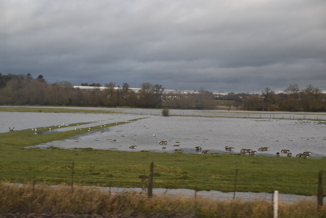
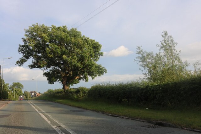
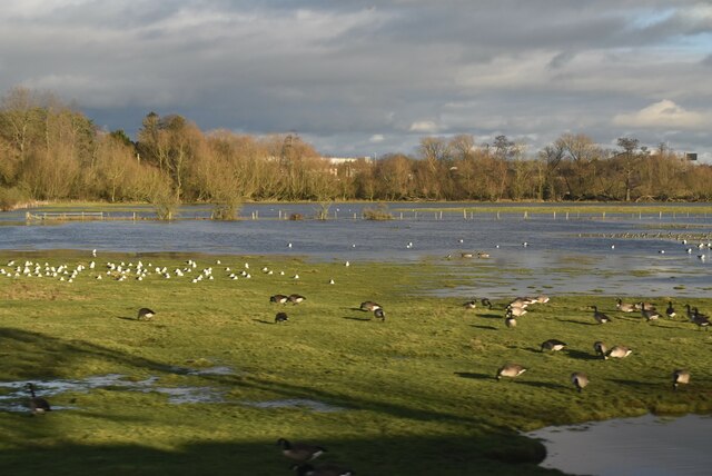
Edward's Covert is a densely wooded area located in Staffordshire, England. Covering an approximate area of 200 acres, it is a remarkable example of a well-preserved ancient woodland. The covert is characterized by a variety of tree species, including oak, beech, birch, and ash, which create a lush and diverse forest ecosystem.

The dense canopy formed by the tall trees provides a sheltered habitat for a range of wildlife species. The woodland is home to a variety of bird species, such as woodpeckers, owls, and thrushes, which can often be heard singing their melodious tunes. Additionally, small mammals like squirrels, badgers, and foxes can be spotted foraging among the undergrowth.

Edward's Covert is also known for its rich biodiversity. The forest floor is covered with a lush carpet of ferns, mosses, and wildflowers, adding to its aesthetic appeal. In spring, the woodland is adorned with a vibrant display of bluebells, creating a picturesque scene that attracts visitors from far and wide.

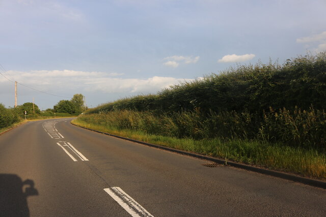
The woodland is open to the public and offers various walking trails and paths, allowing visitors to explore its natural beauty at their own pace. Its tranquil atmosphere makes it a popular destination for nature enthusiasts, hikers, and photographers.

Edward's Covert is not only a natural gem but also an important ecological site. Efforts have been made to protect and conserve the woodland, ensuring its long-term sustainability and the preservation of its unique flora and fauna.

If you have any feedback on the listing, please let us know in the comments section below.

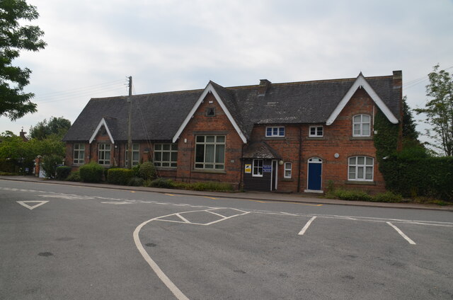
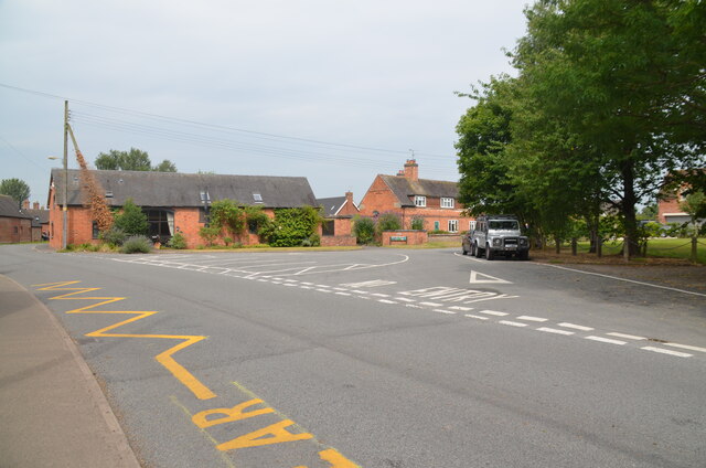
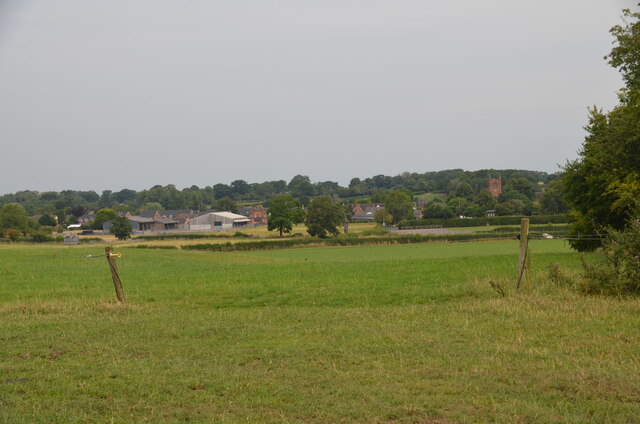
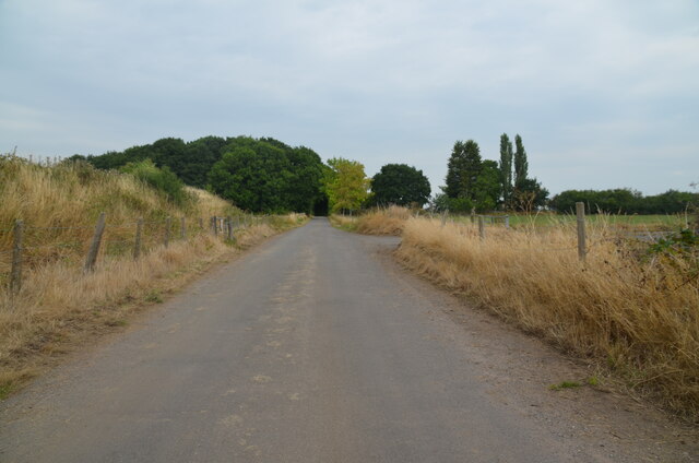
Edward's Covert Images

Images are sourced within 2km of 52.830323/-2.1752452 or Grid Reference SJ8825. Thanks to Geograph Open Source API. All images are credited.

Lavender Close Bungalows and back gardens on Lavender Close, Great Bridgeford, Stafford.
Lavender Close
Bungalows and back gardens on Lavender Close, Great Bridgeford, Stafford.
Wind turbines near Doxey, Staffordshire
A wind turbine near Doxey, Staffordshire
Railway passing underneath the M6 Motorway south of Junction 14
Former RAF Seighford  / 6th Gear Car Driving Experience, Seighford Built in 1942 as a satellite/relief landing ground for RAF Hixon, 7.5 miles (12.1 km) to the east. It is currently used as a car driving experience day. I was there to lap in an Audi R8 / Aston Martin Vantage V8 Roadster / Lamborghini Gallardo LP570-4 Superleggera.. Good fun :)
Former RAF Seighford / 6th Gear Car Driving Experience, Seighford
Built in 1942 as a satellite/relief landing ground for RAF Hixon, 7.5 miles (12.1 km) to the east. It is currently used as a car driving experience day. I was there to lap in an Audi R8 / Aston Martin Vantage V8 Roadster / Lamborghini Gallardo LP570-4 Superleggera.. Good fun :)
Localised flooding by River Sow
Eccleshall Road, Great Bridgeford
Houses on Eccleshall Road, Great Bridgeford
Creswell Grove heading for Stafford
Cooper Perry Primary School, Seighford near Stafford Cooper Perry Primary School, Seighford near Stafford is named after Sir Edwin Cooper Perry, GCVO (1856-1938) who was a physician and became Vice-Chancellor of the University of London. His father was the vicar of St Chad's Church, Seighford.
Cooper Perry Primary School, Seighford near Stafford
Cooper Perry Primary School, Seighford near Stafford is named after Sir Edwin Cooper Perry, GCVO (1856-1938) who was a physician and became Vice-Chancellor of the University of London. His father was the vicar of St Chad's Church, Seighford.
The Green, Seighford, near Stafford A view across The Green, Seighford, towards a barn conversion in the centre-left. Cooper Perry Junior School is behind the photographer. St Chad's church is off-picture to the right. The Green has a number of parking places in its centre. Clearly it's not seen grass for some time.
The Green, Seighford, near Stafford
A view across The Green, Seighford, towards a barn conversion in the centre-left. Cooper Perry Junior School is behind the photographer. St Chad's church is off-picture to the right. The Green has a number of parking places in its centre. Clearly it's not seen grass for some time.
View over Seighford near Stafford A view of Seighford taken from Oldford Lane looking north, showing the red-brick tower of St Chad's on the right
View over Seighford near Stafford
A view of Seighford taken from Oldford Lane looking north, showing the red-brick tower of St Chad's on the right
Road crossing end of Seighford Airfield disused runway Clanford Lane near Seighford crossing the south-west end of the former RAF Airfield runway. Tarmac covers the original concrete slabs of the runway and their outline can be seen in the tarmac. On the left, hidden from view by an earth bank, is the main part of the runway, which is used for driving experiences in top-of-the-range cars.
Road crossing end of Seighford Airfield disused runway
Clanford Lane near Seighford crossing the south-west end of the former RAF Airfield runway. Tarmac covers the original concrete slabs of the runway and their outline can be seen in the tarmac. On the left, hidden from view by an earth bank, is the main part of the runway, which is used for driving experiences in top-of-the-range cars.
Disused runway of Seighford airfield, Staffordshire Looking south-west to the end of the runway. The outline of the original concrete slabs making up the runway can be seen in the pattern of weeds and raised parts of the surface (or by looking on Google Earth). This part was used for HGV (trucks) and PSV (buses and coaches) training. There were portable offices on-site. All that remains are some abandoned traffic cones
Disused runway of Seighford airfield, Staffordshire
Looking south-west to the end of the runway. The outline of the original concrete slabs making up the runway can be seen in the pattern of weeds and raised parts of the surface (or by looking on Google Earth). This part was used for HGV (trucks) and PSV (buses and coaches) training. There were portable offices on-site. All that remains are some abandoned traffic cones
Buffalo in field off the Combers, Seighford, Stafford An unusual feature of the British countryside. The buffalo are raised by Beeches Farm, Seighford. The milk, along with buffalo steak, is sold locally.
Buffalo in field off the Combers, Seighford, Stafford
An unusual feature of the British countryside. The buffalo are raised by Beeches Farm, Seighford. The milk, along with buffalo steak, is sold locally.
Buffalo close up One young buffalo comes forward to investigate the photographer. An unusual feature of the British countryside. The buffalo are raised by Beeches Farm, Seighford. The milk, along with buffalo steak, is sold locally.
Buffalo close up
One young buffalo comes forward to investigate the photographer. An unusual feature of the British countryside. The buffalo are raised by Beeches Farm, Seighford. The milk, along with buffalo steak, is sold locally.
The Holly Bush, Seighford, near Stafford The Holly Bush PH is a grade II listed building situated on The Cumbers, Seighford. The building dates back to the 17th Century with later changes and additions. It has been an inn since that time.
The Holly Bush, Seighford, near Stafford
The Holly Bush PH is a grade II listed building situated on The Cumbers, Seighford. The building dates back to the 17th Century with later changes and additions. It has been an inn since that time.
Wildfowl and localised flooding
Show me another place!

Edward's Covert is located at Grid Ref: SJ8825 (Lat: 52.830323, Lng: -2.1752452)

Administrative County: Staffordshire

District: Stafford

Police Authority: Staffordshire

What 3 Words

///rings.signs.villa. Near Stafford, Staffordshire

Related Wikis

Great Bridgeford

Great Bridgeford is a village in the Borough of Stafford, Staffordshire, England, and a ward of Seighford civil parish. Population details taken at the...

Seighford Hall

Seighford Hall is a house that lies slightly to north-west of the core of Seighford, England. It appears to have later- 16th to early-17th origins but...

Great Bridgeford railway station

Great Bridgeford railway station served the village of Great Bridgeford, Staffordshire, England from 1837 to 1959 on the Stafford-Manchester line. ��2...

Seighford

Seighford ( SY-fərd) is a village and civil parish about 3 miles (5 km) west of Stafford in Staffordshire, England. The population of this civil parish...

Creswell, Staffordshire

Creswell is a small village on the north-western edge of Stafford, the county town of Staffordshire, England situated on elevated ground above the wide...

Ranton, Staffordshire

Ranton is a small hamlet in Staffordshire, England, situated 3.5 miles (5.6 km) west of Stafford, 2.5 miles (4.0 km) east of Woodseaves and 2 miles (3...

Coton Clanford

Coton Clanford is a small dispersed Staffordshire village lying in gently rolling countryside 3 miles due west of Stafford, England, and 1 mile southeast...

Whitgreave

Whitgreave is a very small village a few miles to the NNW of Stafford situated midway between the M6 motorway to the west and the A34 trunk road to the...

Nearby Amenities

Located within 500m of 52.830323,-2.1752452
Power: pole
Lat/Long: 52.8335747/-2.176221
Power: pole
Lat/Long: 52.833121/-2.1763256
Power: pole
Lat/Long: 52.8306611/-2.1769345
Material: wood
Power: pole
Lat/Long: 52.829201/-2.1773207
Power: pole
Lat/Long: 52.8282659/-2.1779376
Power: pole
Lat/Long: 52.827159/-2.1777901
Power: pole
Lat/Long: 52.832583/-2.1700493
Power: pole
Lat/Long: 52.8315102/-2.168735
Man Made: tower
Tower Construction: lattice
Tower Type: communication
Lat/Long: 52.8322724/-2.1783268
The data included in this document is from www.openstreetmap.org. The data is made available under ODbL.

Have you been to Edward's Covert?

Leave your review of Edward's Covert below (or comments, questions and feedback).