Corn Gauber Plantation

Wood, Forest in Yorkshire Craven

England

Corn Gauber Plantation

Old milestone This top section and part of the backing stone of the WRCC milestone that once stood west of Coniston Cold on the A65 was found some years ago by a collector who has a small museum in Kings Meaburn  (NY62402075).  The lost sides would have had SKIPTON/6¾ MILES/KEIGHLEY/16 MILES and SETTLE/8¾ MILES/KENDAL/38 MILES.   it is not known which side of the road it once stood.
Old milestone Credit: Chris Minto

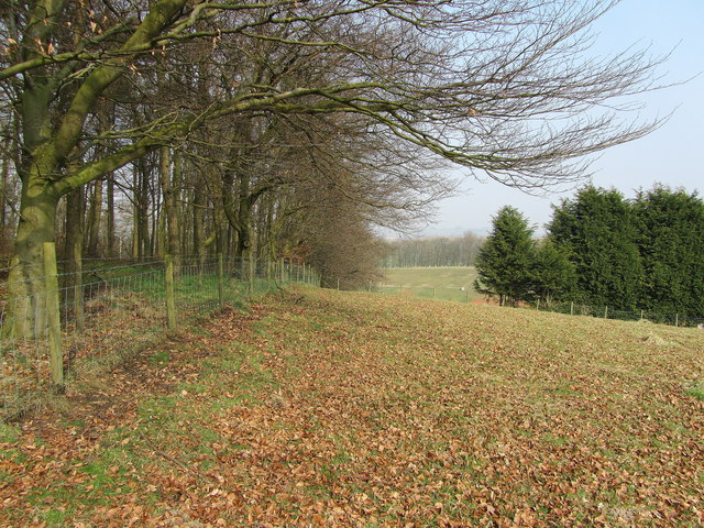
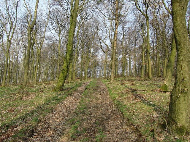
Corn Gauber Plantation is a picturesque woodland located in Yorkshire, England. Situated in the heart of the county, the plantation covers an impressive area of woodland and forest, offering a serene and tranquil escape from the bustling city life.

The plantation is primarily known for its dense population of corn gauber trees, which give the area its unique name. These magnificent trees, with their tall trunks and broad canopies, create a stunning visual spectacle throughout the year. In spring, the plantation is adorned with vibrant green foliage and colorful wildflowers, while in autumn, the leaves transform into a mesmerizing tapestry of oranges, reds, and yellows.

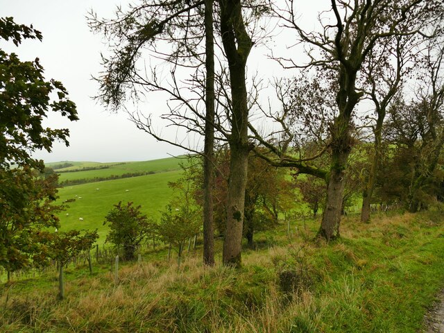
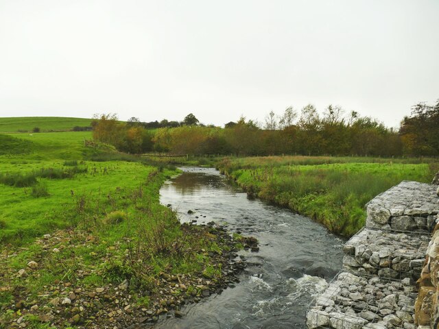
The woodland is also home to a diverse range of wildlife, making it a popular destination for nature enthusiasts and birdwatchers. Visitors may catch a glimpse of various species of birds, including woodpeckers, owls, and finches. The plantation's natural beauty is further enhanced by the presence of winding streams and small ponds, which provide a habitat for frogs, newts, and other aquatic creatures.

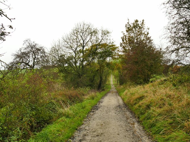
Corn Gauber Plantation offers a range of recreational activities for visitors to enjoy. There are well-maintained walking trails that meander through the woodland, allowing visitors to explore and appreciate its natural wonders. Picnic areas are also available, providing the perfect opportunity for families and friends to gather and enjoy a meal surrounded by the beauty of nature.

Overall, Corn Gauber Plantation is a haven of tranquility and natural beauty, offering a delightful escape for those seeking solace in Yorkshire's stunning woodlands.

If you have any feedback on the listing, please let us know in the comments section below.

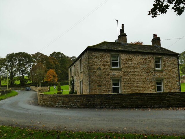
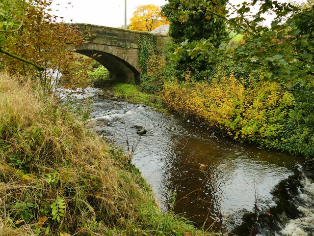
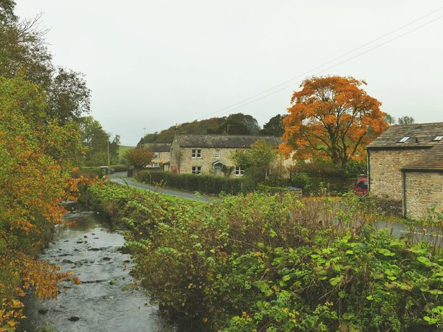
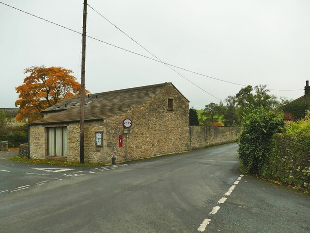
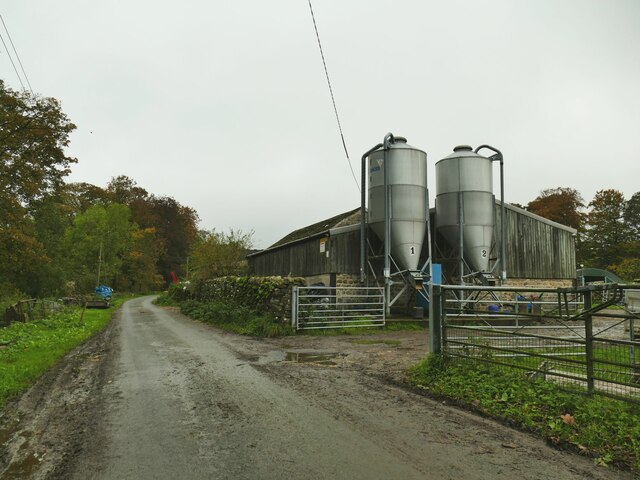
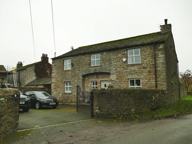
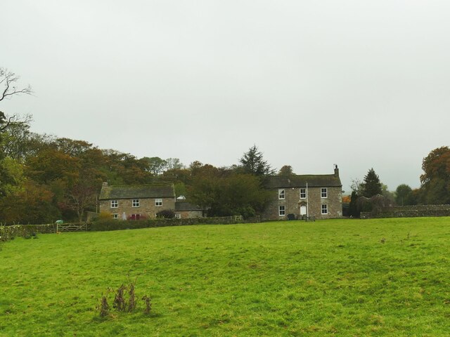
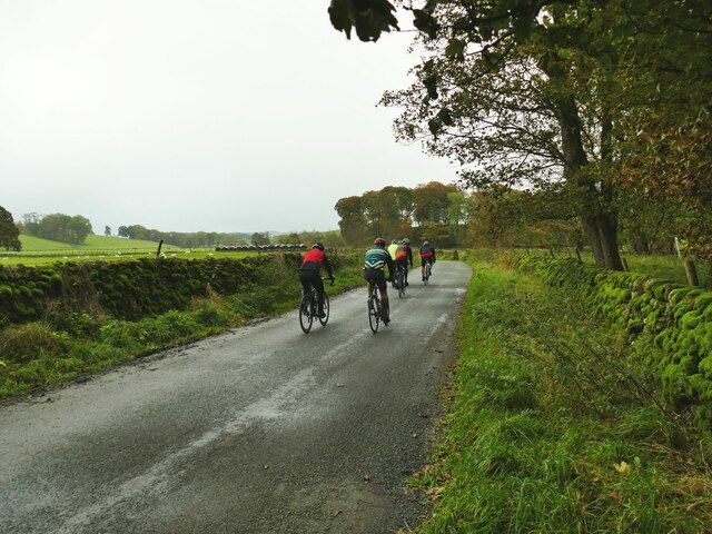
Corn Gauber Plantation Images

Images are sourced within 2km of 53.999188/-2.1846551 or Grid Reference SD8755. Thanks to Geograph Open Source API. All images are credited.

Old milestone This top section and part of the backing stone of the WRCC milestone that once stood west of Coniston Cold on the A65 was found some years ago by a collector who has a small museum in Kings Meaburn  (NY62402075).  The lost sides would have had SKIPTON/6¾ MILES/KEIGHLEY/16 MILES and SETTLE/8¾ MILES/KENDAL/38 MILES.   it is not known which side of the road it once stood.
Old milestone
This top section and part of the backing stone of the WRCC milestone that once stood west of Coniston Cold on the A65 was found some years ago by a collector who has a small museum in Kings Meaburn (NY62402075). The lost sides would have had SKIPTON/6¾ MILES/KEIGHLEY/16 MILES and SETTLE/8¾ MILES/KENDAL/38 MILES. it is not known which side of the road it once stood.
Dacre Lane, looking north-west Part of a long route linking Otterburn to Settle.
Dacre Lane, looking north-west
Part of a long route linking Otterburn to Settle.
Young oaks alongside Dacre Lane New oaks have been planted in among mature trees.
Young oaks alongside Dacre Lane
New oaks have been planted in among mature trees.
Dacre Lane, approaching Otterburn The end of a long route from Settle.
Dacre Lane, approaching Otterburn
The end of a long route from Settle.
House on a bend in Hellifield Road  My eye was caught by the small, blocked, arched opening between ground and first floor window levels. I wonder what that was for?
House on a bend in Hellifield Road
My eye was caught by the small, blocked, arched opening between ground and first floor window levels. I wonder what that was for?
Otterburn Bridge  The grade II listed bridge is dated to the late 18th or early 19th century. List entry 1132058.
Otterburn Bridge
The grade II listed bridge is dated to the late 18th or early 19th century. List entry 1132058.
View north along Otterburn Beck from the bridge The furthest of the three buildings in the photo is the Grade II listed Grove Farm.
View north along Otterburn Beck from the bridge
The furthest of the three buildings in the photo is the Grade II listed Grove Farm.
Hellifield Road out of Otterburn Note three pieces of street furniture: the road sign for a width restriction, the postbox in a wall, and the county marker (possibly relocated from the nearby bridge?) <a href="https://www.geograph.org.uk/photo/4669588">SD8857 : West Riding marker beside building at cross roads</a>. The building itself looks like an agricultural one converted to residential.
Hellifield Road out of Otterburn
Note three pieces of street furniture: the road sign for a width restriction, the postbox in a wall, and the county marker (possibly relocated from the nearby bridge?) SD8857 : West Riding marker beside building at cross roads. The building itself looks like an agricultural one converted to residential.
Cattle farm at Otterburn Hall A local website says 'Otterburn Hall Farm is a 170 hectare permanent grassland farm in Otterburn Village, bordering Otterburn Beck, with 850 breeding sheep and 40 beef cattle'. Some of the cattle could be heard in the shed here.
Cattle farm at Otterburn Hall
A local website says 'Otterburn Hall Farm is a 170 hectare permanent grassland farm in Otterburn Village, bordering Otterburn Beck, with 850 breeding sheep and 40 beef cattle'. Some of the cattle could be heard in the shed here.
Hall Barn, Otterburn A barn conversion at Otterburn Hall Farm.
Hall Barn, Otterburn
A barn conversion at Otterburn Hall Farm.
Otterburn Hall A cattle and sheep farm on the outskirts of the village. To the right is the grade II listed farmhouse (list entry 1316881) and to the left is a converted barn <a href="https://www.geograph.org.uk/photo/7640188">SD8857 : Hall Barn, Otterburn</a>.
Otterburn Hall
A cattle and sheep farm on the outskirts of the village. To the right is the grade II listed farmhouse (list entry 1316881) and to the left is a converted barn SD8857 : Hall Barn, Otterburn.
Cyclists on the road from Otterburn to Bell Busk One of three groups I saw within a few minutes - possibly all part of the same club ride.
Cyclists on the road from Otterburn to Bell Busk
One of three groups I saw within a few minutes - possibly all part of the same club ride.
Otterburn Beck, with gabions The gabions are presumably to prevent the beck eroding the adjacent road.
Otterburn Beck, with gabions
The gabions are presumably to prevent the beck eroding the adjacent road.
Marsh by the road to Otterburn The parish boundary between Coniston Cold and Otterburn passes through this marsh (indeed the 1909 map indicates the boundary being 'C[entre of] Marsh') and it may therefore mark a previous course of Otterburn Beck.
Marsh by the road to Otterburn
The parish boundary between Coniston Cold and Otterburn passes through this marsh (indeed the 1909 map indicates the boundary being 'C[entre of] Marsh') and it may therefore mark a previous course of Otterburn Beck.
A65 West of Switchers Farm Part of the A65 between Coniston Cold and Hellifield
A65 West of Switchers Farm
Part of the A65 between Coniston Cold and Hellifield
Pits Hill On the summit of the hill next to the plantation
Pits Hill
On the summit of the hill next to the plantation
Pits Hill Plantation Track in the woods of Pits Hill Plantation
Pits Hill Plantation
Track in the woods of Pits Hill Plantation
Coniston Hall Estate shooting ground A mecca for clay pigeon shooting.
Coniston Hall Estate shooting ground
A mecca for clay pigeon shooting.
Show me another place!

Corn Gauber Plantation is located at Grid Ref: SD8755 (Lat: 53.999188, Lng: -2.1846551)

Division: West Riding

Administrative County: North Yorkshire

District: Craven

Police Authority: North Yorkshire

What 3 Words

///judge.earplugs.plots. Near Hellifield, North Yorkshire

Related Wikis

Aire Gap

Aire Gap is a pass through the Pennines in England formed by geologic faults and carved out by glaciers. The term is used to describe a geological division...
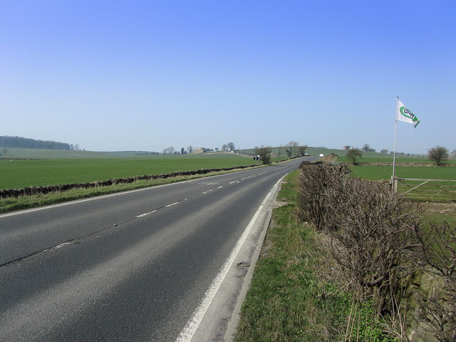
A65 road

The A65 is a major road in England. It runs north west from Leeds in West Yorkshire via Kirkstall, Horsforth, Yeadon, Guiseley, Ilkley and Skipton, west...

Otterburn, North Yorkshire

Otterburn (historically known as Otterburn-in-Craven) is a village and civil parish in the Craven district of North Yorkshire, England. It is at OS Grid...

Bell Busk railway station

Bell Busk railway station served the hamlet of Bell Busk in North Yorkshire, England. It was located on the Leeds to Morecambe Line between Gargrave and...

Swinden

Swinden is a village in the civil parish of Hellifield, in North Yorkshire, England. It is near Halton West and Nappa and about 7 miles north of Barnoldswick...

Bell Busk

Bell Busk is a hamlet situated in the Craven district of North Yorkshire, England. The hamlet is located at the southern end of Malhamdale where the nascent...

Hellifield

Hellifield is a village and civil parish in the Craven district of North Yorkshire, England (grid reference SD855565). Historically part of the West Riding...
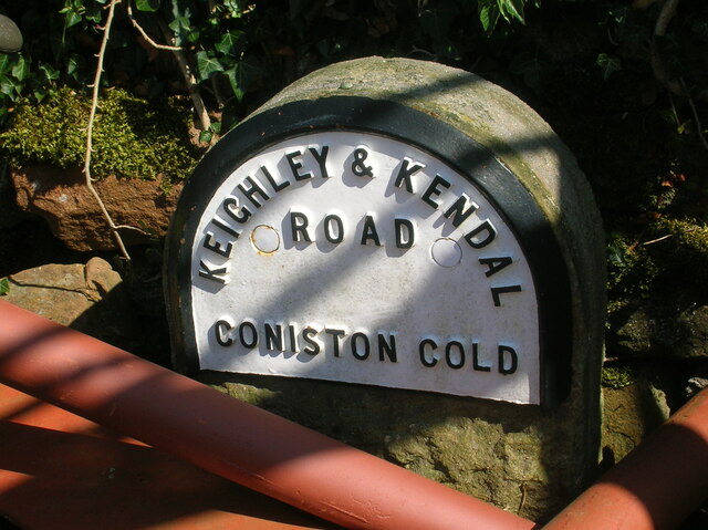
Coniston Cold

Coniston Cold is a village and civil parish in the Craven district of North Yorkshire, England. Historically part of the Staincliffe Wapentake of the West...

Nearby Amenities

Located within 500m of 53.999188,-2.1846551
Corn Gauber Hill
Is In Country Code: GB
Natural: peak
Source: OS 1:25k
Lat/Long: 53.997672/-2.1829316
Pits Hill
Is In Country Code: GB
Natural: peak
Source: OS 1:25k
Lat/Long: 54.0010901/-2.1845839
Power: pole
Source: Bing
Lat/Long: 53.9994752/-2.1920723
Power: pole
Source: Bing
Lat/Long: 53.995215/-2.1881399
Power: pole
Source: Bing
Lat/Long: 53.9960597/-2.1875381
Power: pole
Source: Bing
Lat/Long: 53.9966712/-2.1871024
The data included in this document is from www.openstreetmap.org. The data is made available under ODbL.

Have you been to Corn Gauber Plantation?

Leave your review of Corn Gauber Plantation below (or comments, questions and feedback).