Old Rock Plantation

Wood, Forest in Yorkshire Craven

England

Old Rock Plantation

Dacre Lane, approaching Otterburn The end of a long route from Settle.
Dacre Lane, approaching Otterburn Credit: Stephen Craven

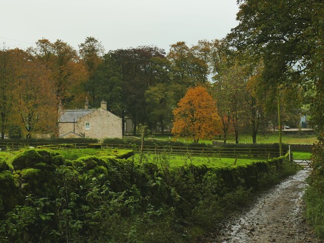
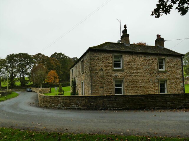
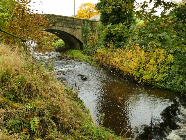
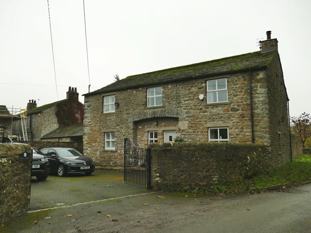
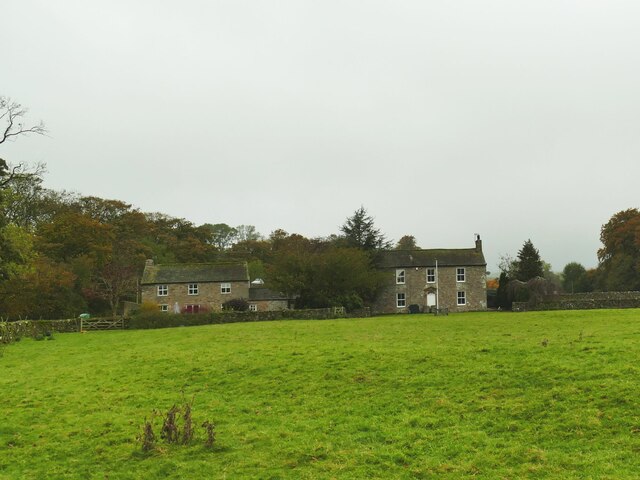
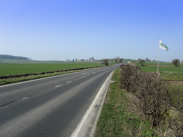
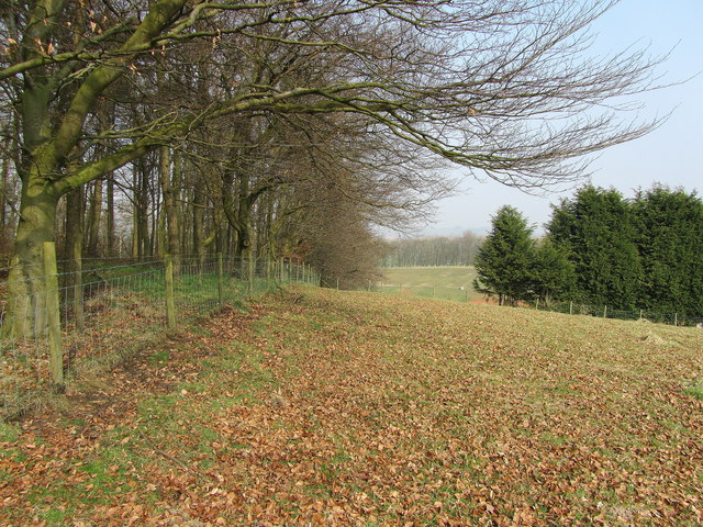
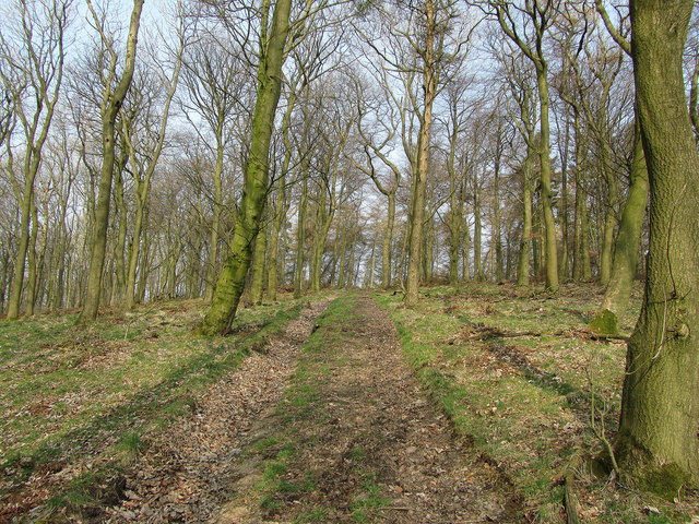
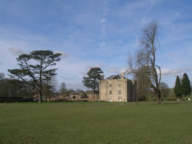
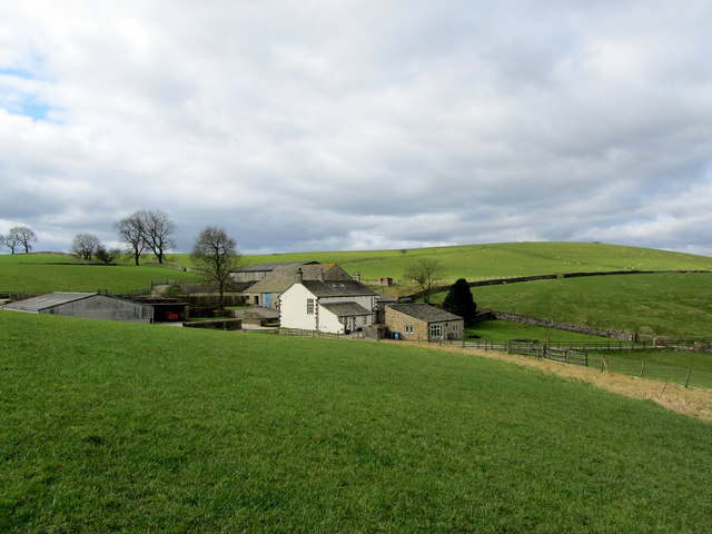
Old Rock Plantation is a charming woodland estate nestled in the picturesque countryside of Yorkshire, England. Located in the heart of the county, this historic plantation covers a sprawling area of lush greenery, ancient trees, and enchanting woodland trails, offering visitors a serene retreat from the bustling city life.

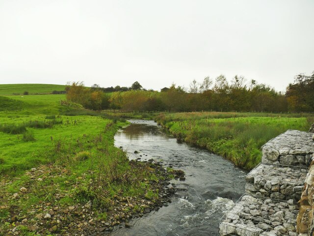
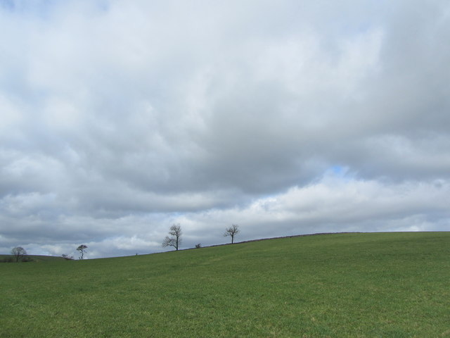
Dating back to the 18th century, Old Rock Plantation boasts a rich history and a unique sense of character. The estate is renowned for its stunning rock formations, which were formed millions of years ago and now serve as a captivating backdrop for the surrounding natural beauty. The plantation is also home to a diverse array of flora and fauna, with numerous species of plants, birds, and wildlife thriving in this idyllic woodland environment.

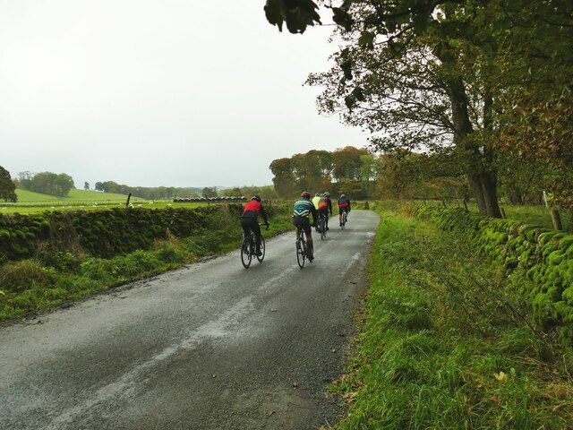
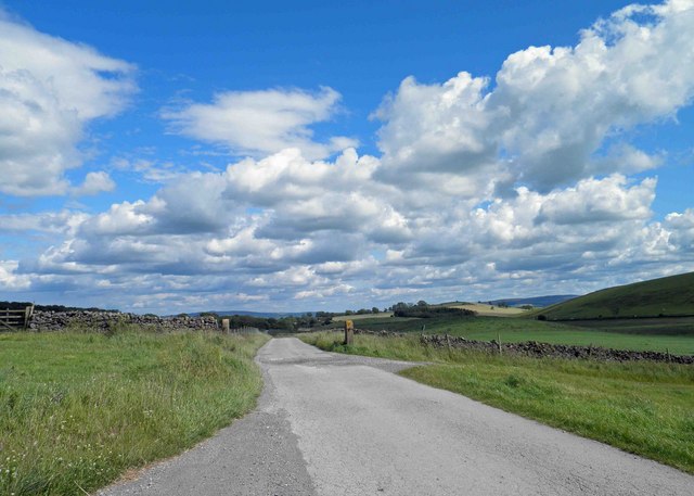
Visitors to Old Rock Plantation can explore the extensive network of walking paths and trails that wind their way through the estate, allowing them to immerse themselves in the tranquility of nature. The plantation also offers guided tours, providing visitors with fascinating insights into the history, geology, and ecology of the area.

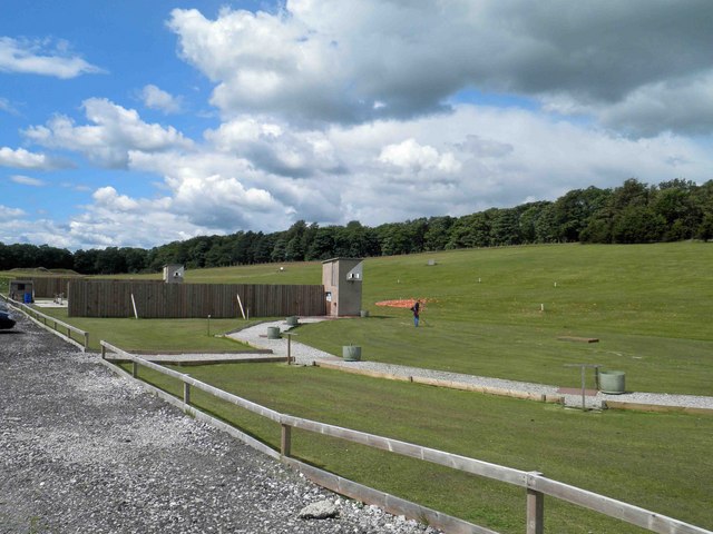
In addition to its natural splendor, Old Rock Plantation offers a range of amenities for visitors to enjoy. There are picnic areas dotted throughout the estate, perfect for those looking to relax and soak up the peaceful atmosphere. The plantation also features a charming cafe, serving delicious homemade treats and refreshments made from locally sourced ingredients.

With its breathtaking scenery, rich history, and abundance of recreational opportunities, Old Rock Plantation is a must-visit destination for nature enthusiasts and history buffs alike. Whether it's a leisurely stroll through the woodlands or a guided exploration of the estate's fascinating past, this Yorkshire gem promises a truly memorable experience for all who visit.

If you have any feedback on the listing, please let us know in the comments section below.

Old Rock Plantation Images

Images are sourced within 2km of 53.998375/-2.1876872 or Grid Reference SD8755. Thanks to Geograph Open Source API. All images are credited.

Dacre Lane, approaching Otterburn The end of a long route from Settle.
Dacre Lane, approaching Otterburn
The end of a long route from Settle.
House on a bend in Hellifield Road  My eye was caught by the small, blocked, arched opening between ground and first floor window levels. I wonder what that was for?
House on a bend in Hellifield Road
My eye was caught by the small, blocked, arched opening between ground and first floor window levels. I wonder what that was for?
Otterburn Bridge  The grade II listed bridge is dated to the late 18th or early 19th century. List entry 1132058.
Otterburn Bridge
The grade II listed bridge is dated to the late 18th or early 19th century. List entry 1132058.
Cattle farm at Otterburn Hall A local website says 'Otterburn Hall Farm is a 170 hectare permanent grassland farm in Otterburn Village, bordering Otterburn Beck, with 850 breeding sheep and 40 beef cattle'. Some of the cattle could be heard in the shed here.
Cattle farm at Otterburn Hall
A local website says 'Otterburn Hall Farm is a 170 hectare permanent grassland farm in Otterburn Village, bordering Otterburn Beck, with 850 breeding sheep and 40 beef cattle'. Some of the cattle could be heard in the shed here.
Hall Barn, Otterburn A barn conversion at Otterburn Hall Farm.
Hall Barn, Otterburn
A barn conversion at Otterburn Hall Farm.
Otterburn Hall A cattle and sheep farm on the outskirts of the village. To the right is the grade II listed farmhouse (list entry 1316881) and to the left is a converted barn <a href="https://www.geograph.org.uk/photo/7640188">SD8857 : Hall Barn, Otterburn</a>.
Otterburn Hall
A cattle and sheep farm on the outskirts of the village. To the right is the grade II listed farmhouse (list entry 1316881) and to the left is a converted barn SD8857 : Hall Barn, Otterburn.
Cyclists on the road from Otterburn to Bell Busk One of three groups I saw within a few minutes - possibly all part of the same club ride.
Cyclists on the road from Otterburn to Bell Busk
One of three groups I saw within a few minutes - possibly all part of the same club ride.
Otterburn Beck, with gabions The gabions are presumably to prevent the beck eroding the adjacent road.
Otterburn Beck, with gabions
The gabions are presumably to prevent the beck eroding the adjacent road.
A65 West of Switchers Farm Part of the A65 between Coniston Cold and Hellifield
A65 West of Switchers Farm
Part of the A65 between Coniston Cold and Hellifield
Pits Hill On the summit of the hill next to the plantation
Pits Hill
On the summit of the hill next to the plantation
Pits Hill Plantation Track in the woods of Pits Hill Plantation
Pits Hill Plantation
Track in the woods of Pits Hill Plantation
Coniston Hall Estate shooting ground A mecca for clay pigeon shooting.
Coniston Hall Estate shooting ground
A mecca for clay pigeon shooting.
Pull! Clay pigeons being discharged at Coniston shooting ground.
Pull!
Clay pigeons being discharged at Coniston shooting ground.
Track from the shooting grounds Coniston Hall Estate.
Hellifield Peel
Hellifield Peel
Dacre Lane, Otterburn
Pot Haw Hill One of several grass covered drumlins that abound in this area
Pot Haw Hill
One of several grass covered drumlins that abound in this area
Kelber Farm Farming operation hidden between a series of grass covered drumlins just south of the A65 road between Hellifield and Coniston Cold.
Kelber Farm
Farming operation hidden between a series of grass covered drumlins just south of the A65 road between Hellifield and Coniston Cold.
Show me another place!

Old Rock Plantation is located at Grid Ref: SD8755 (Lat: 53.998375, Lng: -2.1876872)

Division: West Riding

Administrative County: North Yorkshire

District: Craven

Police Authority: North Yorkshire

What 3 Words

///blindfold.sleeping.social. Near Hellifield, North Yorkshire

Related Wikis

Aire Gap

Aire Gap is a pass through the Pennines in England formed by geologic faults and carved out by glaciers. The term is used to describe a geological division...

A65 road

The A65 is a major road in England. It runs north west from Leeds in West Yorkshire via Kirkstall, Horsforth, Yeadon, Guiseley, Ilkley and Skipton, west...

Otterburn, North Yorkshire

Otterburn (historically known as Otterburn-in-Craven) is a village and civil parish in the Craven district of North Yorkshire, England. It is at OS Grid...

Swinden

Swinden is a village in the civil parish of Hellifield, in North Yorkshire, England. It is near Halton West and Nappa and about 7 miles north of Barnoldswick...

Hellifield

Hellifield is a village and civil parish in the Craven district of North Yorkshire, England (grid reference SD855565). Historically part of the West Riding...

Bell Busk railway station

Bell Busk railway station served the hamlet of Bell Busk in North Yorkshire, England. It was located on the Leeds to Morecambe Line between Gargrave and...

Coniston Cold

Coniston Cold is a village and civil parish in the Craven district of North Yorkshire, England. Historically part of the Staincliffe Wapentake of the West...

Bell Busk

Bell Busk is a hamlet situated in the Craven district of North Yorkshire, England. The hamlet is located at the southern end of Malhamdale where the nascent...

Nearby Amenities

Located within 500m of 53.998375,-2.1876872
Phone
Emergency: phone
Lat/Long: 53.9995809/-2.1937543
Middle Field Hill
Is In Country Code: GB
Man Made: survey_point
Natural: peak
Source: OS 1:25k
Lat/Long: 53.9947457/-2.186558
Corn Gauber Hill
Is In Country Code: GB
Natural: peak
Source: OS 1:25k
Lat/Long: 53.997672/-2.1829316
Pits Hill
Is In Country Code: GB
Natural: peak
Source: OS 1:25k
Lat/Long: 54.0010901/-2.1845839
Power: pole
Source: Bing
Lat/Long: 53.9941887/-2.1899998
Power: pole
Source: Bing
Lat/Long: 53.9942131/-2.188861
Power: pole
Source: Bing
Lat/Long: 53.9939066/-2.1877846
Power: pole
Source: Bing
Lat/Long: 54.0014953/-2.1930684
Power: pole
Source: Bing
Lat/Long: 54.0009388/-2.1927908
Power: pole
Source: Bing
Lat/Long: 54.0002421/-2.1924484
Power: pole
Source: Bing
Lat/Long: 53.9994752/-2.1920723
Power: pole
Source: Bing
Lat/Long: 53.995215/-2.1881399
Power: pole
Source: Bing
Lat/Long: 53.9960597/-2.1875381
Power: pole
Source: Bing
Lat/Long: 53.9966712/-2.1871024
The data included in this document is from www.openstreetmap.org. The data is made available under ODbL.

Have you been to Old Rock Plantation?

Leave your review of Old Rock Plantation below (or comments, questions and feedback).