Blue Hill

Hill, Mountain in Yorkshire Craven

England

Blue Hill

A65 West of Switchers Farm Part of the A65 between Coniston Cold and Hellifield
A65 West of Switchers Farm Credit: Chris Heaton

Blue Hill is a prominent hill located in the county of Yorkshire in England. Standing at an elevation of 1,900 feet (579 meters), it is often referred to as Blue Hill Mountain due to its significant height and size. The hill is part of the Pennines, a range of mountains and hills that stretches across northern England.

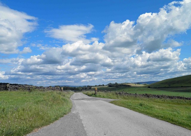
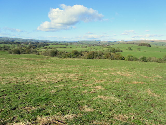
Blue Hill is characterized by its rugged and rocky terrain, with its slopes covered in heather, grasses, and scattered shrubs. The summit offers breathtaking panoramic views of the surrounding landscape, including the rolling hills, deep valleys, and picturesque villages that dot the region. On clear days, it is possible to see as far as the Yorkshire Dales and the North York Moors.

The hill attracts a variety of outdoor enthusiasts, including hikers, climbers, and nature lovers. Several well-marked trails lead to the summit, providing visitors with the opportunity to explore the area's natural beauty. Blue Hill is also home to a diverse range of flora and fauna, including birds of prey, wild deer, and rare plant species.

Situated in the heart of Yorkshire, Blue Hill is easily accessible from nearby towns and cities. The surrounding area offers numerous amenities, such as parking facilities, visitor centers, and picnic areas, ensuring a comfortable and enjoyable experience for visitors. Whether for adventure or relaxation, Blue Hill provides a captivating destination for those seeking to immerse themselves in Yorkshire's stunning natural landscapes.

If you have any feedback on the listing, please let us know in the comments section below.
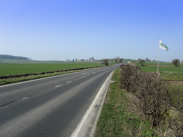
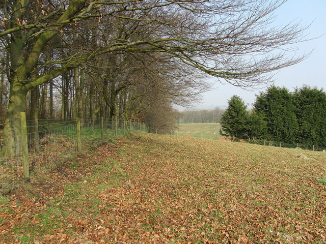
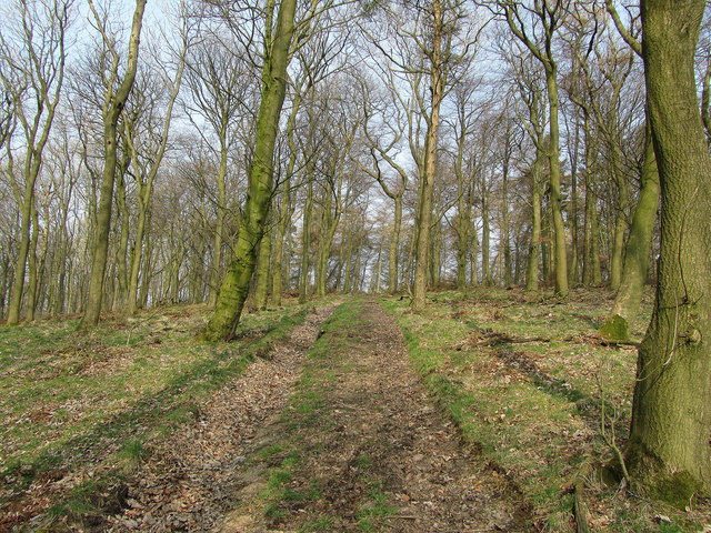
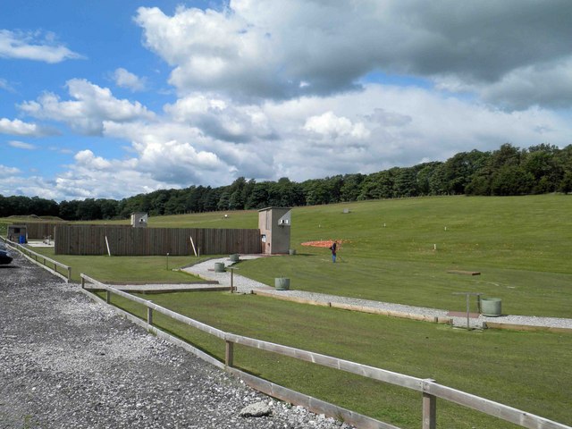
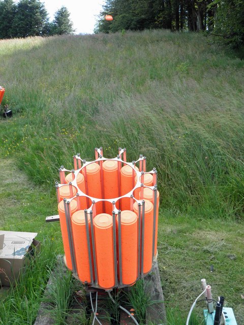
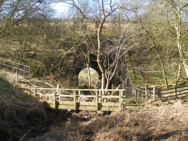
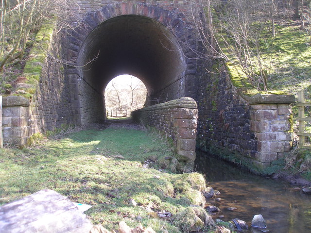
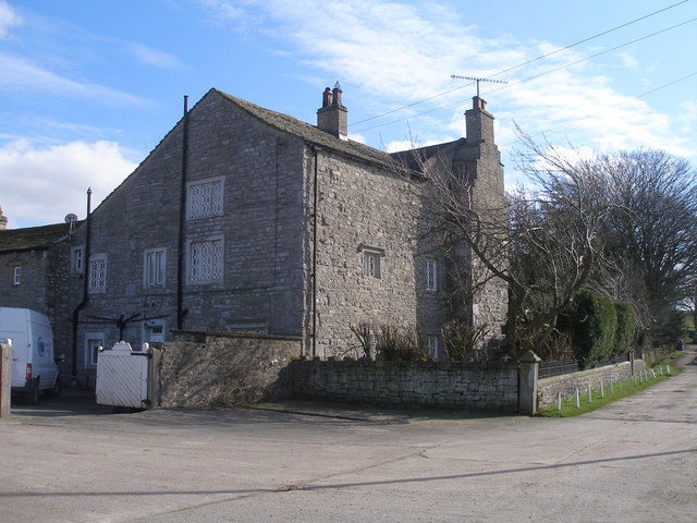
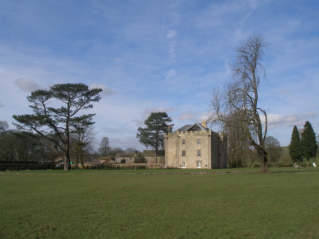
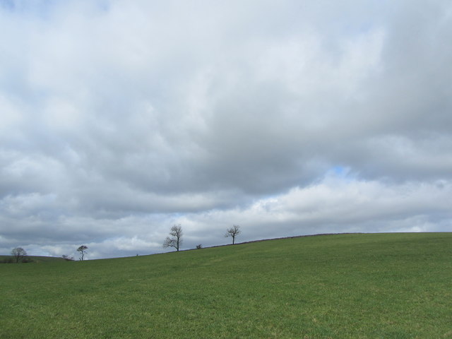
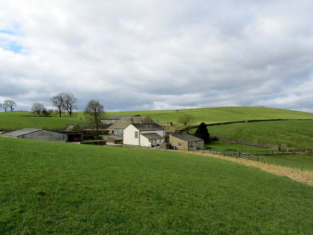
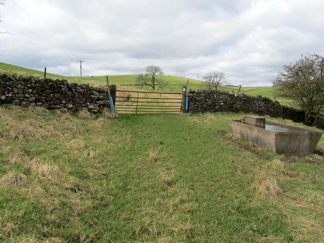
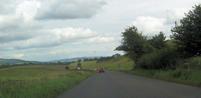
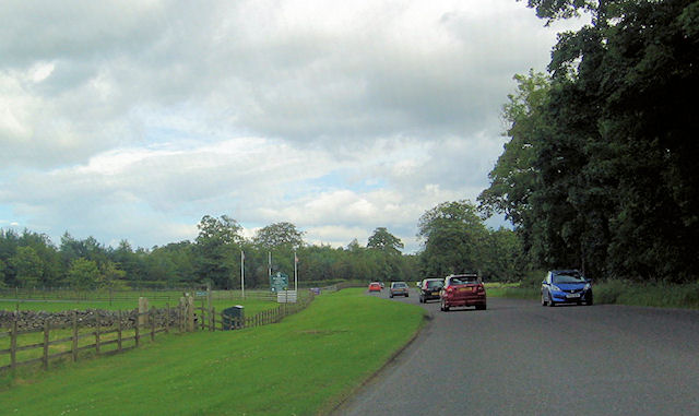
Blue Hill Images

Images are sourced within 2km of 53.993429/-2.1890834 or Grid Reference SD8755. Thanks to Geograph Open Source API. All images are credited.

A65 West of Switchers Farm Part of the A65 between Coniston Cold and Hellifield
A65 West of Switchers Farm
Part of the A65 between Coniston Cold and Hellifield
Pits Hill On the summit of the hill next to the plantation
Pits Hill
On the summit of the hill next to the plantation
Pits Hill Plantation Track in the woods of Pits Hill Plantation
Pits Hill Plantation
Track in the woods of Pits Hill Plantation
Coniston Hall Estate shooting ground A mecca for clay pigeon shooting.
Coniston Hall Estate shooting ground
A mecca for clay pigeon shooting.
Pull! Clay pigeons being discharged at Coniston shooting ground.
Pull!
Clay pigeons being discharged at Coniston shooting ground.
Track from the shooting grounds Coniston Hall Estate.
View over Swinden Gill Beck Sheer pergutory walking over this hill - it was so boggy that it was constantly sucking my boots off, I was obliged to leave the official footpath to find an easier way down towards Swinden Gill Beck
View over Swinden Gill Beck
Sheer pergutory walking over this hill - it was so boggy that it was constantly sucking my boots off, I was obliged to leave the official footpath to find an easier way down towards Swinden Gill Beck
Path and stream go under the railway at Swinden Gill
Swinden Hall
Swinden Hall
Hellifield Peel
Hellifield Peel
Pot Haw Hill One of several grass covered drumlins that abound in this area
Pot Haw Hill
One of several grass covered drumlins that abound in this area
Kelber Farm Farming operation hidden between a series of grass covered drumlins just south of the A65 road between Hellifield and Coniston Cold.
Kelber Farm
Farming operation hidden between a series of grass covered drumlins just south of the A65 road between Hellifield and Coniston Cold.
Footpath approaching Kelber Little used footpath approaching a rusty gate, just beyond which is Kelber Farm.
Footpath approaching Kelber
Little used footpath approaching a rusty gate, just beyond which is Kelber Farm.
A65 east at Lay-by by Waspber Hill
Lay by next to Switchers Farm A65 east
Lay by next to Switchers Farm
A65 east
A65 crossing Coniston Moor Footpath track on right
A65 crossing Coniston Moor
Footpath track on right
Entrance to Coniston Hall Hotel from A65
Show me another place!

Blue Hill is located at Grid Ref: SD8755 (Lat: 53.993429, Lng: -2.1890834)

Division: West Riding

Administrative County: North Yorkshire

District: Craven

Police Authority: North Yorkshire

What 3 Words

///truckload.blotting.beaten. Near Hellifield, North Yorkshire

Related Wikis

A65 road

The A65 is a major road in England. It runs north west from Leeds in West Yorkshire via Kirkstall, Horsforth, Yeadon, Guiseley, Ilkley and Skipton, west...

Aire Gap

Aire Gap is a pass through the Pennines in England formed by geologic faults and carved out by glaciers. The term is used to describe a geological division...

Swinden

Swinden is a village in the civil parish of Hellifield, in North Yorkshire, England. It is near Halton West and Nappa and about 7 miles north of Barnoldswick...

Hellifield

Hellifield is a village and civil parish in the Craven district of North Yorkshire, England (grid reference SD855565). Historically part of the West Riding...

Coniston Cold

Coniston Cold is a village and civil parish in the Craven district of North Yorkshire, England. Historically part of the Staincliffe Wapentake of the West...

Otterburn, North Yorkshire

Otterburn (historically known as Otterburn-in-Craven) is a village and civil parish in the Craven district of North Yorkshire, England. It is at OS Grid...

Bell Busk railway station

Bell Busk railway station served the hamlet of Bell Busk in North Yorkshire, England. It was located on the Leeds to Morecambe Line between Gargrave and...

Nappa, North Yorkshire

Nappa is a hamlet in the civil parish of Hellifield, in North Yorkshire, England. It is on the A682 road and 6 miles (9.7 km) north-west of Barnoldswick...

Nearby Amenities

Located within 500m of 53.993429,-2.1890834
Hard Knot Hill
Is In Country Code: GB
Man Made: survey_point
Natural: peak
Source: OS 1:25k
Lat/Long: 53.9915794/-2.1898196
Middle Field Hill
Is In Country Code: GB
Man Made: survey_point
Natural: peak
Source: OS 1:25k
Lat/Long: 53.9947457/-2.186558
Blue Hill
Historic: archaeological_site
Is In Country Code: GB
Source: OS 1:25k
Lat/Long: 53.9935726/-2.1893904
Place: farm
Lat/Long: 53.9933323/-2.1854557
Place: farm
Lat/Long: 53.9946821/-2.1960129
Power: pole
Source: Bing
Lat/Long: 53.9940774/-2.1956078
Power: pole
Source: Bing
Lat/Long: 53.9940993/-2.1944925
Power: pole
Source: Bing
Lat/Long: 53.9941323/-2.1928142
Power: pole
Source: Bing
Lat/Long: 53.9941643/-2.1914679
Power: pole
Source: Bing
Lat/Long: 53.9941826/-2.1907105
Power: pole
Source: Bing
Lat/Long: 53.9941887/-2.1899998
Power: pole
Source: Bing
Lat/Long: 53.9942131/-2.188861
Power: pole
Source: Bing
Lat/Long: 53.9939066/-2.1877846
Power: pole
Source: Bing
Lat/Long: 53.9936108/-2.186747
Power: pole
Source: Bing
Lat/Long: 53.9934248/-2.1861244
Power: pole
Source: Bing
Lat/Long: 53.993318/-2.1951409
Power: pole
Source: Bing
Lat/Long: 53.9925174/-2.1958102
Power: pole
Source: Bing
Lat/Long: 53.995215/-2.1881399
Power: pole
Source: Bing
Lat/Long: 53.9960597/-2.1875381
Power: pole
Source: Bing
Lat/Long: 53.9966712/-2.1871024
The data included in this document is from www.openstreetmap.org. The data is made available under ODbL.

Have you been to Blue Hill?

Leave your review of Blue Hill below (or comments, questions and feedback).