Marland Wood

Wood, Forest in Lancashire

England

Marland Wood

New solar farm On 10 hectares of green belt land near the site of Chamber House, 10,000 solar panels have been installed.
New solar farm Credit: Kevin Waterhouse

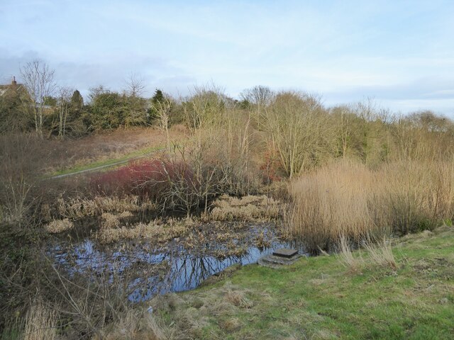
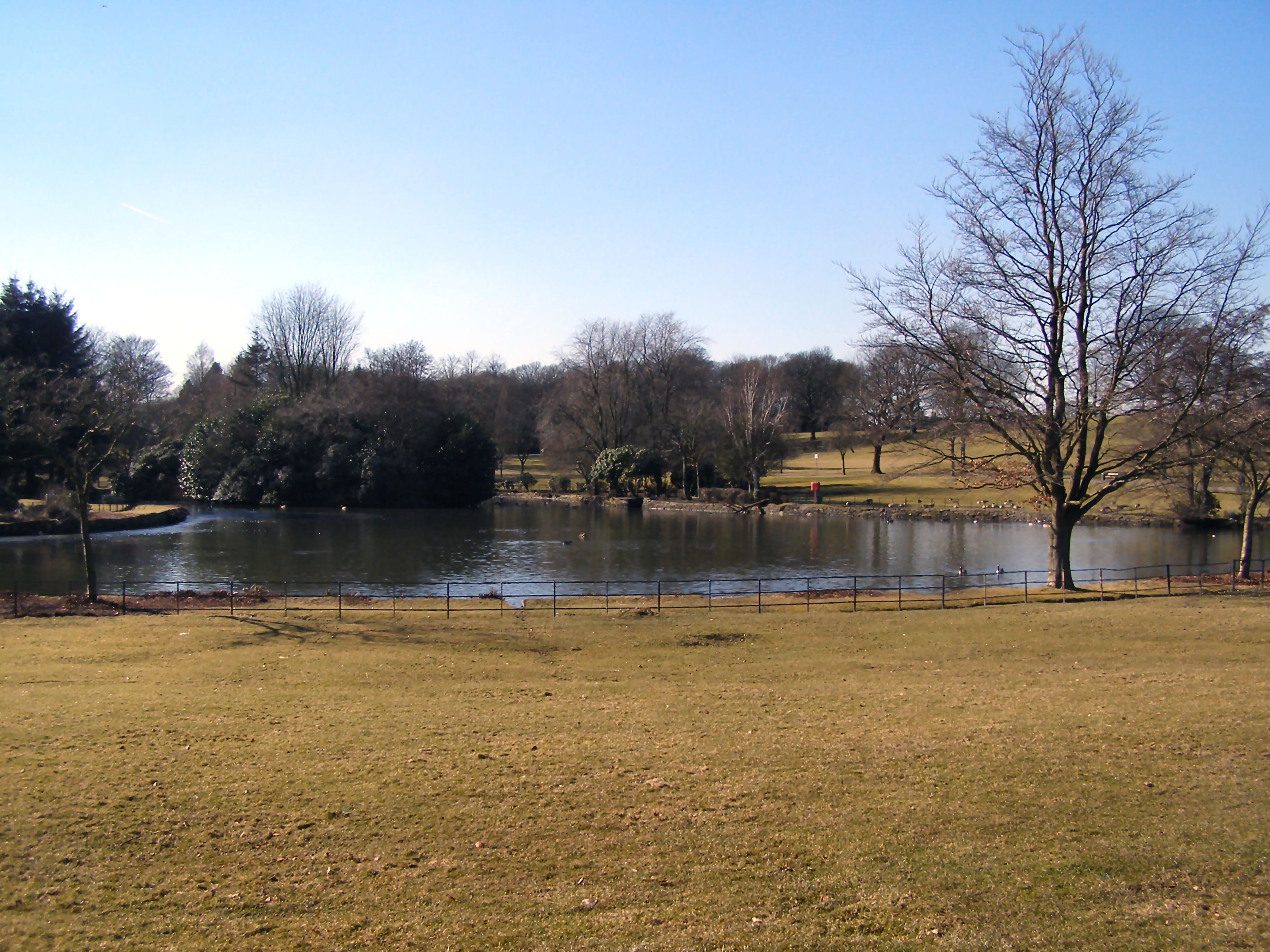
Marland Wood is a small forest located in Lancashire, England. It covers an area of approximately 120 acres and is known for its diverse range of tree species, including oak, beech, and birch. The forest is a popular destination for nature lovers and outdoor enthusiasts, offering a peaceful escape from the hustle and bustle of urban life.

Marland Wood is home to a variety of wildlife, including deer, squirrels, and a wide array of bird species. Visitors to the forest can enjoy walking and hiking trails that wind through the trees, providing opportunities to spot wildlife and take in the natural beauty of the surroundings. The forest is also a popular spot for picnics and family outings, with designated picnic areas and benches scattered throughout the woodland.

In addition to its natural beauty, Marland Wood also has historical significance, with evidence of ancient settlements and industrial activity dating back to the Roman era. The forest is managed by the local council, which works to preserve its natural habitats and ensure that it remains a cherished green space for generations to come.

If you have any feedback on the listing, please let us know in the comments section below.

Marland Wood Images

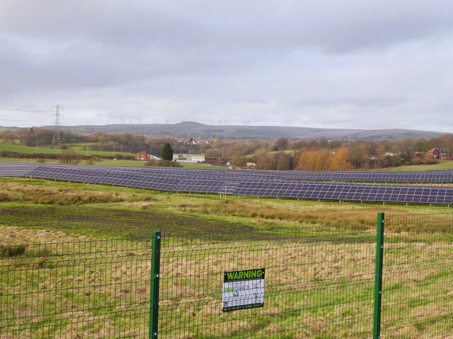
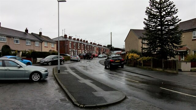
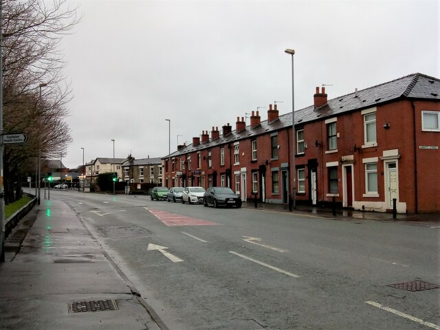
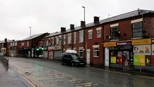
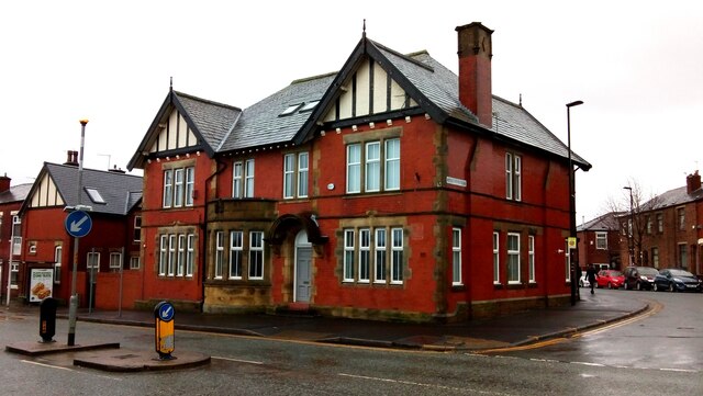
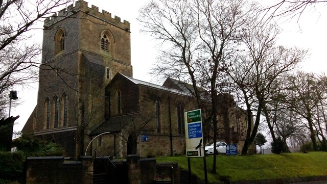
Images are sourced within 2km of 53.605851/-2.1830082 or Grid Reference SD8712. Thanks to Geograph Open Source API. All images are credited.

New solar farm On 10 hectares of green belt land near the site of Chamber House, 10,000 solar panels have been installed.
New solar farm
On 10 hectares of green belt land near the site of Chamber House, 10,000 solar panels have been installed.
The valley of Roeacre Brook The brook flows through ponds and marshy ground but has a recently laid path that allows a leisure walk around the valley linking with the bridleway on Chadwick Lane.
The valley of Roeacre Brook
The brook flows through ponds and marshy ground but has a recently laid path that allows a leisure walk around the valley linking with the bridleway on Chadwick Lane.
Rochdale Metro station and Mosque in Maclure Road
The Harrows, Bolton Road, Rochdale See <a href="https://www.geograph.org.uk/photo/1743544">SD8711 : The Harrows</a> for another view.
The Harrows, Bolton Road, Rochdale
See SD8711 : The Harrows for another view.
Royal Toby Hotel Entrance, Manchester Road, Rochdale
The Anti Ageing Clinic, Crescent Road, Rochdale
Crescent Road, Rochdale Just a short section of a fairly long residential road with a mixture of, probably, ex-Local Authority housing & private terraced housing.
Crescent Road, Rochdale
Just a short section of a fairly long residential road with a mixture of, probably, ex-Local Authority housing & private terraced housing.
Terraced Housing, Kingsland Road, Rochdale
A Very Quiet A664 Manchester Road, Castleton Looking south west, from Abbott Street.
A Very Quiet A664 Manchester Road, Castleton
Looking south west, from Abbott Street.
Castleton Health & Leisure Centre, Manchester Road, Castleton Opened in 1910 as Castleton Baths.
Castleton Health & Leisure Centre, Manchester Road, Castleton
Opened in 1910 as Castleton Baths.
Castleton Library & Community Centre, Manchester Road, Castleton Obviously housed in a former school building, with the playground at the rear now used for parking.
Castleton Library & Community Centre, Manchester Road, Castleton
Obviously housed in a former school building, with the playground at the rear now used for parking.
Local Shops, Houses and a Church on Manchester Road, Castleton The church, near the left edge of the photo, is Castleton Moor Methodist Church.
Local Shops, Houses and a Church on Manchester Road, Castleton
The church, near the left edge of the photo, is Castleton Moor Methodist Church.
Former The Farewell Public House, Manchester Road, Castleton There was no obvious indication of its current use from where I was standing, & it was raining, so I didn't bother investigating further.
Former The Farewell Public House, Manchester Road, Castleton
There was no obvious indication of its current use from where I was standing, & it was raining, so I didn't bother investigating further.
St. Aidan's Church, Manchester Road, Sudden, Rochdale
Johnsons the Cleaners, Manchester Road, Sudden, Rochdale
Bolton Road, Sudden, Rochdale Bolton Road is part of the A58 running between Prescot, Merseyside and Wetherby, West Yorkshire. This view is from Bruce Street.
Bolton Road, Sudden, Rochdale
Bolton Road is part of the A58 running between Prescot, Merseyside and Wetherby, West Yorkshire. This view is from Bruce Street.
Marland Service Station, Bolton Road, Rochdale Bolton Road is part of the A58 running between Prescot, Merseyside and Wetherby, West Yorkshire.
Marland Service Station, Bolton Road, Rochdale
Bolton Road is part of the A58 running between Prescot, Merseyside and Wetherby, West Yorkshire.
Success to the Plough, Bolton Road, Rochdale Situated at the corner of Matthew Moss Lane, with a bowling green at the rear. At present there are 2 other images on here, both taken looking south east, in sun. This is looking south west, in steady rain.
Success to the Plough, Bolton Road, Rochdale
Situated at the corner of Matthew Moss Lane, with a bowling green at the rear. At present there are 2 other images on here, both taken looking south east, in sun. This is looking south west, in steady rain.
Show me another place!

Marland Wood is located at Grid Ref: SD8712 (Lat: 53.605851, Lng: -2.1830082)

Unitary Authority: Rochdale

Police Authority: Greater Manchester

What 3 Words

///yard.digits.raft. Near Rochdale, Manchester

Nearby Locations

Marland Wood Marland

Related Wikis

Sudden Brook

Sudden Brook is a watercourse in Greater Manchester and a tributary of the River Roch. It originates in to the north of Royton, Oldham and flows Northwards...

Springfield Park (Rochdale)

Springfield Park is a large public park located between Rochdale and Heywood in Greater Manchester. Completed in 1927 on the former site of a 13th-century...

Matthew Moss High School

Matthew Moss High School is a coeducational secondary school located in Rochdale in the English county of Greater Manchester.Previously a community school...

Mars Mill, Castleton

Mars Mill was a former cotton spinning mill in Castleton, Rochdale, Greater Manchester, England. Castleton joined the Borough of Rochdale in 1899. Queensway...

Nearby Amenities

Located within 500m of 53.605851,-2.1830082
Marland
Is In: Rochdale, Greater Manchester, England, UK
Place: suburb
Source: npe
Lat/Long: 53.6050124/-2.1876396
Crossing
Crossing: marked
Lat/Long: 53.602678/-2.1877643
Turning Circle
Lat/Long: 53.606382/-2.1873418
Bus Stop
Roch Valley Way/Roch Mills Crescent
Bus: yes
Naptan AtcoCode: 1800NE01651
Naptan Bearing: SE
Naptan CommonName: Roch Valley Way/Roch Mills Crescent
Naptan Indicator: Sewage Works
Naptan Landmark: SEWAGE WORKS
Naptan NaptanCode: mandwdmg
Naptan Notes: INDICATOR AMENDED
Naptan PlusbusZoneRef: MNCRPIC
Naptan ShortCommonName: Roch Mills Cres
Naptan Street: ROCH VALLEY WAY
Naptan Verified: no
Network: TfGM
Public Transport: platform
Source: naptan_import
Lat/Long: 53.6072671/-2.1782211
Bus Stop
Roch Valley Way/Roch Mills Crescent
Bus: yes
Naptan AtcoCode: 1800NE01671
Naptan Bearing: NW
Naptan CommonName: Roch Valley Way/Roch Mills Crescent
Naptan Indicator: Op Plant
Naptan Landmark: SEWAGE WORKS
Naptan NaptanCode: mandwdmp
Naptan PlusbusZoneRef: MNCRPIC
Naptan ShortCommonName: Roch Mills Cresce
Naptan Street: ROCH VALLEY WAY
Naptan Verified: no
Network: TfGM
Public Transport: platform
Source: naptan_import
Lat/Long: 53.6073114/-2.1787049
Bus Stop
Bolton Road/Birchfield Drive
Bus: yes
Naptan AtcoCode: 1800NE21811
Naptan Bearing: E
Naptan CommonName: Bolton Road/Birchfield Drive
Naptan Indicator: O/s House 59
Naptan Landmark: HOUSE 70
Naptan NaptanCode: mangagmt
Naptan PlusbusZoneRef: MNCRPIC
Naptan ShortCommonName: Birchfield Drive
Naptan Street: BOLTON ROAD
Naptan Verified: no
Network: TfGM
Public Transport: platform
Source: naptan_import
Lat/Long: 53.6023378/-2.1806636
Bus Stop
Bolton Road/Birchfield Drive
Bus: yes
Naptan AtcoCode: 1800NE21821
Naptan Bearing: W
Naptan CommonName: Bolton Road/Birchfield Drive
Naptan Indicator: O/s House 70
Naptan Landmark: HOUSE 63
Naptan NaptanCode: mangagmw
Naptan PlusbusZoneRef: MNCRPIC
Naptan ShortCommonName: Birchfield Drive
Naptan Street: BOLTON ROAD
Naptan Verified: no
Network: TfGM
Public Transport: platform
Source: naptan_import
Lat/Long: 53.6022027/-2.1808141
Bus Stop
Bolton Road/Eskdale Avenue
Bus: yes
Naptan AtcoCode: 1800NE21831
Naptan Bearing: E
Naptan CommonName: Bolton Road/Eskdale Avenue
Naptan Indicator: House No. 108
Naptan Landmark: HOUSE 104
Naptan NaptanCode: mangagpa
Naptan Notes: Name corrected
Naptan PlusbusZoneRef: MNCRPIC
Naptan ShortCommonName: Eskdale Avenue
Naptan Street: BOLTON ROAD
Naptan Verified: no
Network: TfGM
Public Transport: platform
Source: naptan_import
Lat/Long: 53.6024775/-2.1833239
Bus Stop
Bolton Road/Eskdale Avenue
Bus: yes
Naptan AtcoCode: 1800NE21841
Naptan Bearing: W
Naptan CommonName: Bolton Road/Eskdale Avenue
Naptan Indicator: O/s House 99
Naptan Landmark: HOUSE 99
Naptan NaptanCode: mangagpd
Naptan PlusbusZoneRef: MNCRPIC
Naptan ShortCommonName: Eskdale Avenue
Naptan Street: BOLTON ROAD
Naptan Verified: no
Network: TfGM
Public Transport: platform
Source: naptan_import
Lat/Long: 53.6023869/-2.1838222
Bus Stop
Bolton Road/Marland Fold
Bus: yes
Naptan AtcoCode: 1800NE21851
Naptan Bearing: E
Naptan CommonName: Bolton Road/Marland Fold
Naptan Indicator: Opp Bunglow 163
Naptan Landmark: HOUSE 163
Naptan NaptanCode: mangagpg
Naptan PlusbusZoneRef: MNCRPIC
Naptan ShortCommonName: Marland Fold
Naptan Street: BOLTON ROAD
Naptan Verified: no
Network: TfGM
Public Transport: platform
Source: naptan_import
Lat/Long: 53.602705/-2.1873447
Bus Stop
Roch Valley Way/Roch Mills Crescent
Bus: yes
Naptan AtcoCode: 1800NE24341
Naptan Bearing: W
Naptan CommonName: Roch Valley Way/Roch Mills Crescent
Naptan Indicator: O/s House 93
Naptan Landmark: HOUSE 93
Naptan NaptanCode: mangamag
Naptan PlusbusZoneRef: MNCRPIC
Naptan ShortCommonName: Roch Mills Cres
Naptan Street: ROCH VALLEY WAY
Naptan Verified: no
Network: TfGM
Public Transport: platform
Source: naptan_import
Lat/Long: 53.6066852/-2.1766619
Bus Stop
Roch Valley Way/Roch Mills Crescent
Bus: yes
Naptan AtcoCode: 1800NE24351
Naptan Bearing: E
Naptan CommonName: Roch Valley Way/Roch Mills Crescent
Naptan Indicator: Fields
Naptan Landmark: HOUSE 92
Naptan NaptanCode: mangamaj
Naptan PlusbusZoneRef: MNCRPIC
Naptan ShortCommonName: Roch Mills Cres
Naptan Street: ROCH VALLEY WAY
Naptan Verified: no
Network: TfGM
Public Transport: platform
Source: naptan_import
Lat/Long: 53.6066771/-2.1760573
Power: tower
Lat/Long: 53.6096991/-2.1827457
Power: tower
Lat/Long: 53.6077991/-2.1819249
Power: tower
Lat/Long: 53.6027318/-2.1795485
Power: tower
Lat/Long: 53.6056984/-2.18097
Power: tower
Lat/Long: 53.6095909/-2.1870265
Generator Method: photovoltaic
Generator Output Electricity: yes
Generator Source: solar
Generator Type: solar_photovoltaic_panel
Location: roof
Power: generator
Lat/Long: 53.6024737/-2.1876855
Generator Method: photovoltaic
Generator Output Electricity: yes
Generator Source: solar
Generator Type: solar_photovoltaic_panel
Location: roof
Power: generator
Lat/Long: 53.6052031/-2.1845981
Generator Method: photovoltaic
Generator Output Electricity: yes
Generator Source: solar
Generator Type: solar_photovoltaic_panel
Location: roof
Power: generator
Lat/Long: 53.6054053/-2.1832617
Generator Method: photovoltaic
Generator Output Electricity: yes
Generator Source: solar
Generator Type: solar_photovoltaic_panel
Location: roof
Power: generator
Lat/Long: 53.6052732/-2.1834776
Generator Method: photovoltaic
Generator Output Electricity: yes
Generator Source: solar
Generator Type: solar_photovoltaic_panel
Location: roof
Power: generator
Lat/Long: 53.6034509/-2.1804681
Generator Method: photovoltaic
Generator Output Electricity: yes
Generator Source: solar
Generator Type: solar_photovoltaic_panel
Location: roof
Power: generator
Lat/Long: 53.6023495/-2.1787783
Fuel
Texaco
Brand: Texaco
Brand Wikidata: Q775060
Website: https://locations.valero.com/en-gb/LocationDetails/Index/BOLTON-ROAD/0000886655
Lat/Long: 53.6026697/-2.1844138
The data included in this document is from www.openstreetmap.org. The data is made available under ODbL.

Have you been to Marland Wood?

Leave your review of Marland Wood below (or comments, questions and feedback).