Marland
Settlement in Lancashire
England
Marland
Marland is a small village located in the county of Lancashire, in the North West of England. Situated approximately 4 miles north of the town of Rochdale, Marland has a population of around 1,500 residents.
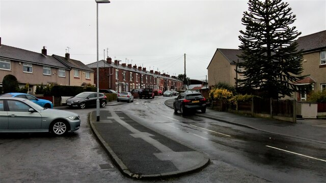
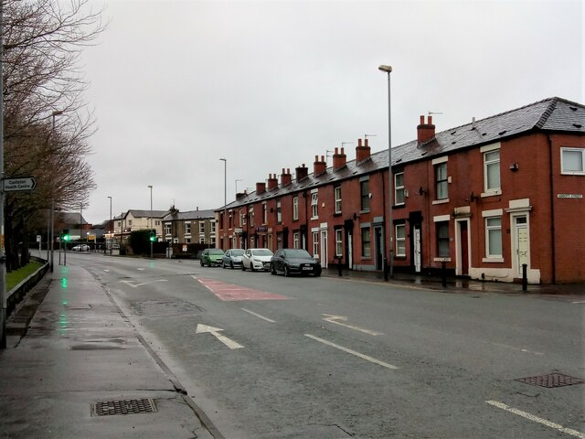
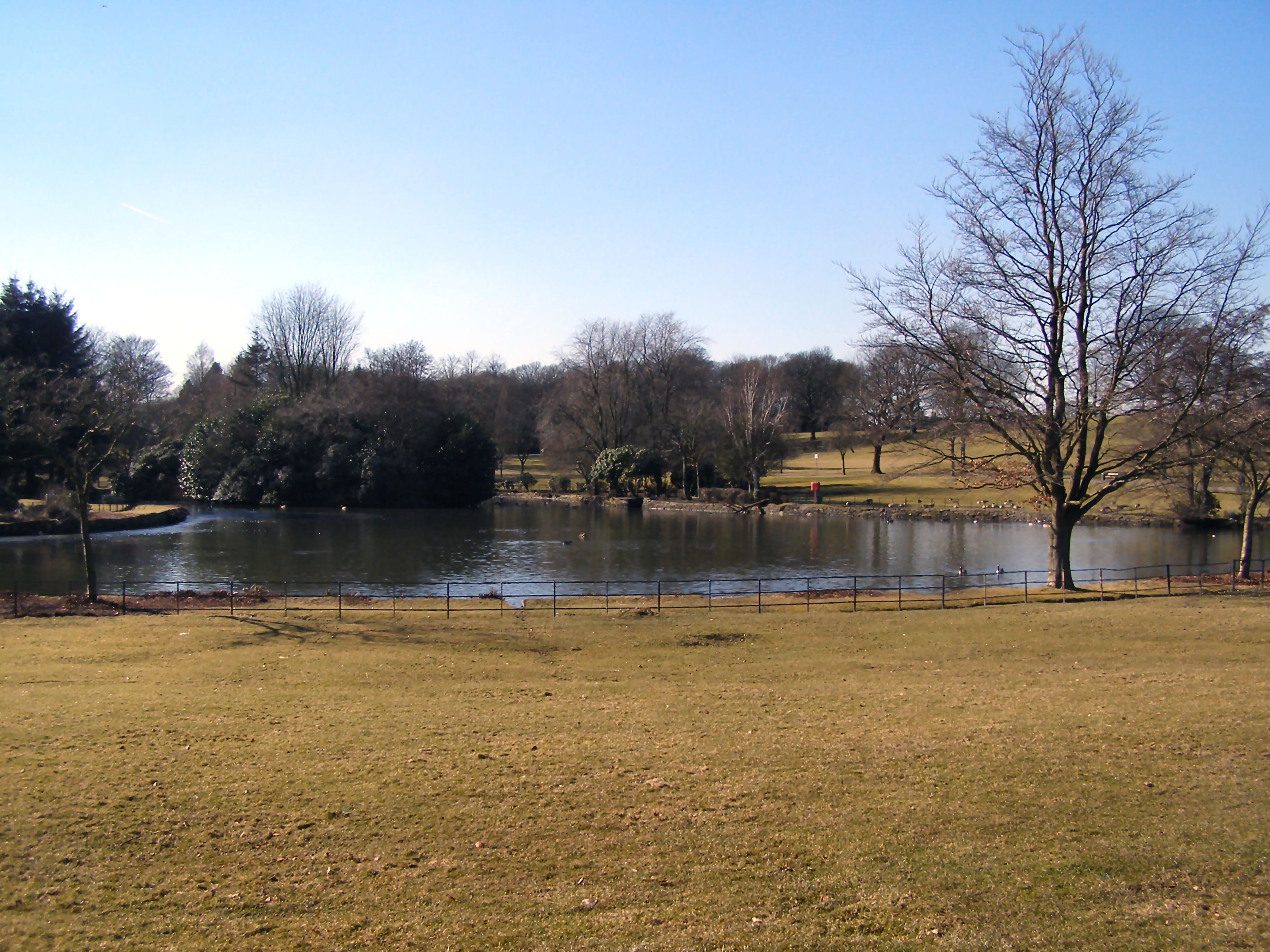
The village is known for its picturesque surroundings, with rolling hills and green fields dominating the landscape. Marland is situated in a rural area, offering a peaceful and tranquil environment for its residents. The village is surrounded by several other small settlements, including Norden and Bamford.
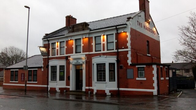
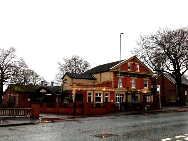
Marland is home to a few amenities, including a local primary school and a small convenience store. The village also has a pub, providing a gathering place for locals to socialize and unwind. Although Marland does not have its own church, there are several places of worship located in the nearby towns.
The village benefits from its proximity to nature, with various walking and cycling routes available for outdoor enthusiasts. Marland Golf Course, a popular 9-hole course, is situated nearby, attracting golfers from the surrounding area.
Historically, Marland has been associated with the textile industry, with several mills once operating in the area. Today, the village retains some of its industrial heritage, with a few former mill buildings still standing.
Overall, Marland offers a quiet and idyllic setting for those seeking a peaceful village lifestyle, while still providing easy access to nearby towns and amenities.
If you have any feedback on the listing, please let us know in the comments section below.
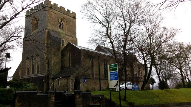
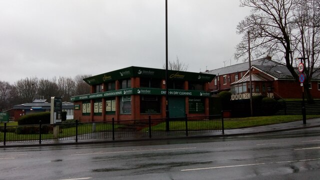
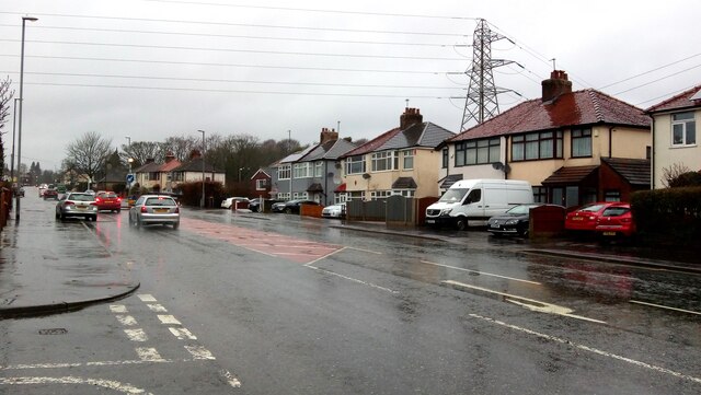
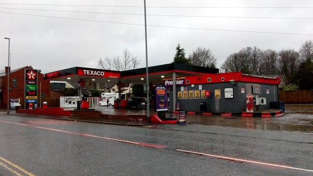
Marland Images
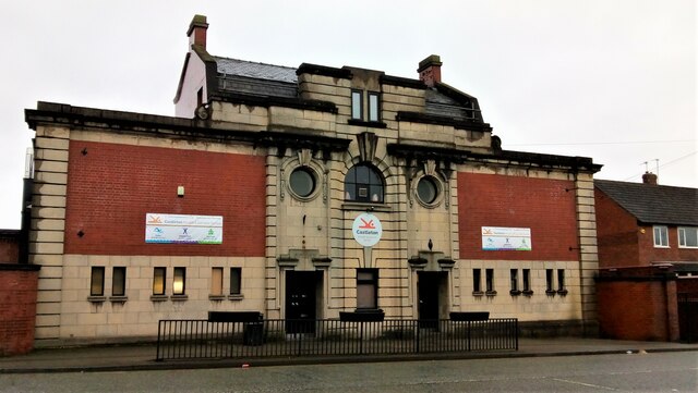
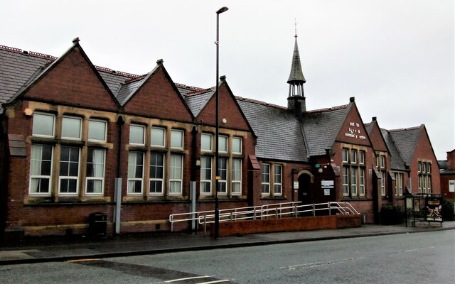
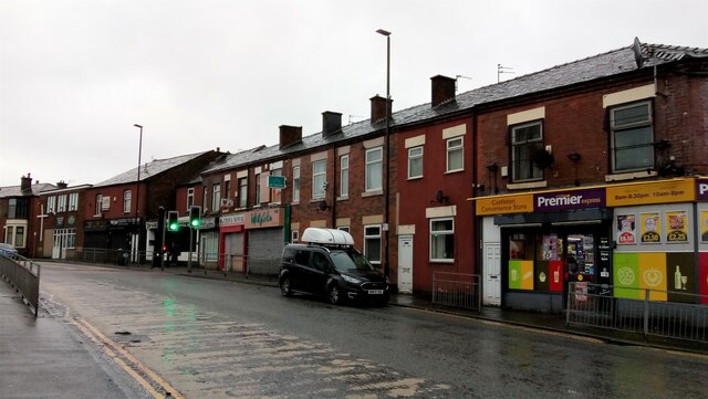
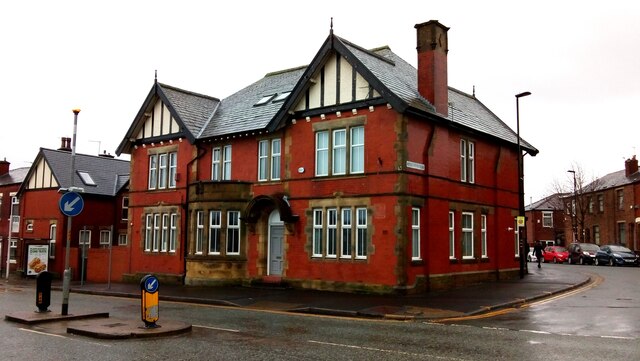
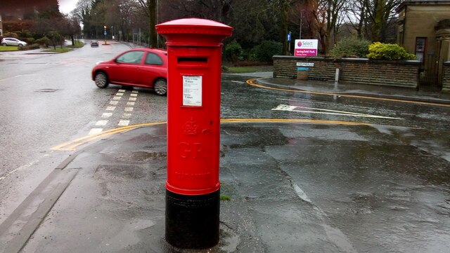
Images are sourced within 2km of 53.604858/-2.187365 or Grid Reference SD8712. Thanks to Geograph Open Source API. All images are credited.


Marland is located at Grid Ref: SD8712 (Lat: 53.604858, Lng: -2.187365)
Unitary Authority: Rochdale
Police Authority: Greater Manchester
What 3 Words
///factor.tribe.third. Near Rochdale, Manchester
Nearby Locations
Related Wikis
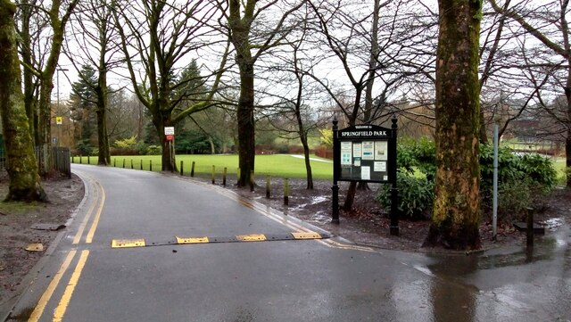
Springfield Park (Rochdale)
Springfield Park is a large public park located between Rochdale and Heywood in Greater Manchester. Completed in 1927 on the former site of a 13th-century...

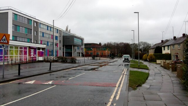
Matthew Moss High School
Matthew Moss High School is a coeducational secondary school located in Rochdale in the English county of Greater Manchester.Previously a community school...

Sudden Brook
Sudden Brook is a watercourse in Greater Manchester and a tributary of the River Roch. It originates in to the north of Royton, Oldham and flows Northwards...
Mars Mill, Castleton
Mars Mill was a former cotton spinning mill in Castleton, Rochdale, Greater Manchester, England. Castleton joined the Borough of Rochdale in 1899. Queensway...
Nearby Amenities
Located within 500m of 53.604858,-2.187365Have you been to Marland?
Leave your review of Marland below (or comments, questions and feedback).