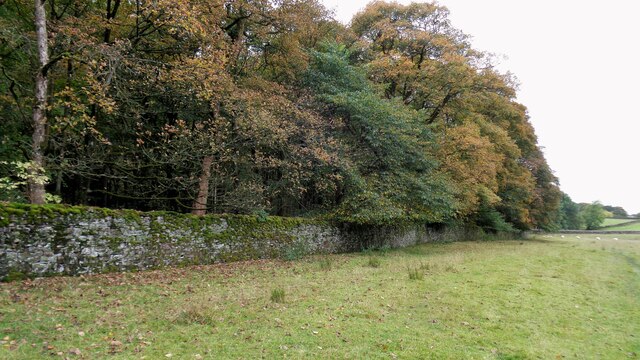
Rough Wood

Wood, Forest in Lancashire Burnley

England

Rough Wood

Limestone Hushings Landscape On the east bank of Hurstwood Reservoir
Limestone Hushings Landscape Credit: Kevin Waterhouse

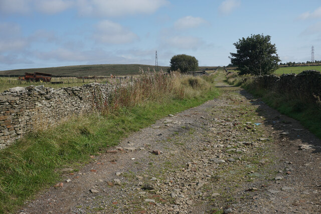
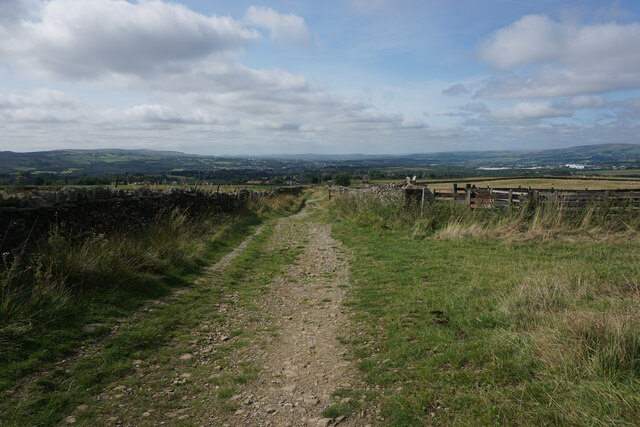
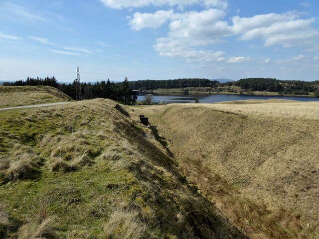
Rough Wood is a small village located in the county of Lancashire, England. Situated near the town of Burnley, Rough Wood is known for its picturesque woodlands and lush forests, making it an ideal destination for nature enthusiasts and outdoor adventurers.

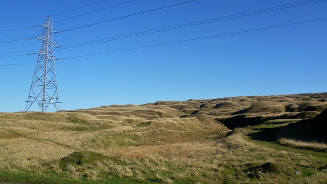
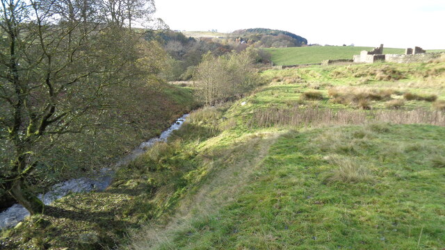
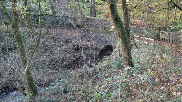
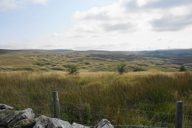
The village is nestled in the foothills of the Pennines, providing stunning views of the surrounding countryside. The woodlands of Rough Wood are home to a diverse range of flora and fauna, including various species of trees such as oak, beech, and birch. The forest floor is adorned with a carpet of wildflowers, creating a colorful and vibrant atmosphere during the spring and summer months.

Rough Wood offers several walking trails and hiking routes, allowing visitors to explore the natural beauty of the area. These paths wind through the forest, offering peaceful and tranquil surroundings for those seeking a break from the hustle and bustle of everyday life. The woodlands are also a haven for wildlife, with sightings of deer, squirrels, and various bird species being common.

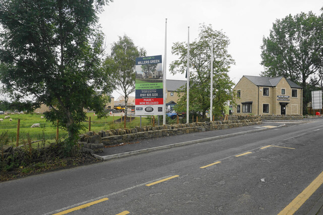
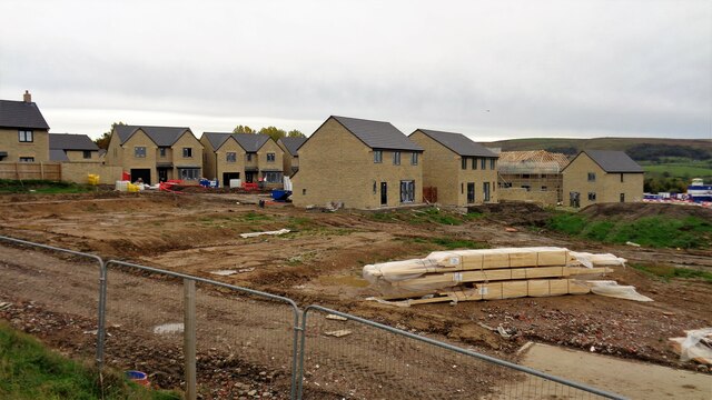
In addition to its natural splendor, Rough Wood is home to a small community of residents who enjoy the peaceful and close-knit atmosphere of the village. The village has a few amenities, including a local pub and a small convenience store, catering to the needs of both residents and visitors.

Overall, Rough Wood, Lancashire is a hidden gem for nature lovers, offering beautiful woodlands, scenic views, and a welcoming community atmosphere.

If you have any feedback on the listing, please let us know in the comments section below.
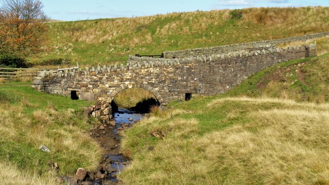
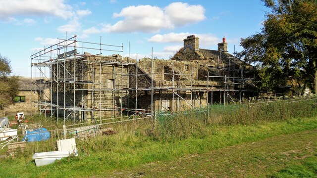
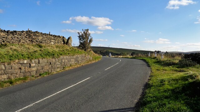
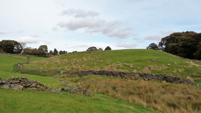
Rough Wood Images

Images are sourced within 2km of 53.773792/-2.1839969 or Grid Reference SD8730. Thanks to Geograph Open Source API. All images are credited.

Limestone Hushings Landscape On the east bank of Hurstwood Reservoir
Limestone Hushings Landscape
On the east bank of Hurstwood Reservoir
Cant Clough With the remains of Hey Laithe on the right in this view
Cant Clough
With the remains of Hey Laithe on the right in this view
Foxstones Bridge Over the infant River Brun
Foxstones Bridge
Over the infant River Brun
Millers Green A new housing development on the edge of Worsthorne. The green gap between Worsthorne and the Burnley conurbation is getting smaller.
Millers Green
A new housing development on the edge of Worsthorne. The green gap between Worsthorne and the Burnley conurbation is getting smaller.
Gorple Road The road has become a track continuing across the Pennines.
Gorple Road
The road has become a track continuing across the Pennines.
Gorple Road Heading straight down towards Worsthorne. The view extends from Crown Point and Great Hameldon on the left round to Pendle and Pen-y-Ghent which are out of this image on the right.
Gorple Road
Heading straight down towards Worsthorne. The view extends from Crown Point and Great Hameldon on the left round to Pendle and Pen-y-Ghent which are out of this image on the right.
The results of quarrying above Hurstwood Reservoir Scarring on the hillside viewed from Gorple Road.
The results of quarrying above Hurstwood Reservoir
Scarring on the hillside viewed from Gorple Road.
Burnley Way Footbridge Crosses the River Calder to give access to Park Road
Burnley Way Footbridge
Crosses the River Calder to give access to Park Road
Rebuilt bridge across Shedden Clough Used by the Pennine Bridleway and the Burnley Way
Rebuilt bridge across Shedden Clough
Used by the Pennine Bridleway and the Burnley Way
Work at Middle Pasture Farm Is it renovation work?
Work at Middle Pasture Farm
Is it renovation work?
The Long Causeway at Stump Cross The way marking stone known as Stump Cross is at the top of the roadside embankment on the bend. This stone has not been dressed unlike the Mount Cross which is further along this ancient route
The Long Causeway at Stump Cross
The way marking stone known as Stump Cross is at the top of the roadside embankment on the bend. This stone has not been dressed unlike the Mount Cross which is further along this ancient route
Round Hill There are earthworks marked on the OS map for the hill. There are surface stones visible in that area. More remarkable are the large monoliths built into the field walls around this area and perhaps they had been in the earthworks in times past.
Round Hill
There are earthworks marked on the OS map for the hill. There are surface stones visible in that area. More remarkable are the large monoliths built into the field walls around this area and perhaps they had been in the earthworks in times past.
Estate Walling to Ormerod House The substantial walling encloses the River Brun within the private estate, so this path along the valley has no view of the river.
Estate Walling to Ormerod House
The substantial walling encloses the River Brun within the private estate, so this path along the valley has no view of the river.
New Housing (The Calders) Off Red Lees Road and causing the diversion of public footpaths
New Housing (The Calders)
Off Red Lees Road and causing the diversion of public footpaths
Hurstwood Brook Descending to Hurstwood Reservoir
Hurstwood Brook
Descending to Hurstwood Reservoir
Church Square The white rendered building is listed and was originally a block of six back to back houses, but is now 3 mixed use properties.
Church Square
The white rendered building is listed and was originally a block of six back to back houses, but is now 3 mixed use properties.
Farm track to Slipper Hill A public footpath from Gorple Road across the hill to the Swinden valley
Farm track to Slipper Hill
A public footpath from Gorple Road across the hill to the Swinden valley
Probable old quarry for Hurstwood Reservoir From old OS maps this large gulley in the landscape appeared at the same time as the construction of Hurstwood Reservoir. There are concrete platforms and pillars in the gulley closer to the reservoir.
Probable old quarry for Hurstwood Reservoir
From old OS maps this large gulley in the landscape appeared at the same time as the construction of Hurstwood Reservoir. There are concrete platforms and pillars in the gulley closer to the reservoir.
Show me another place!

Rough Wood is located at Grid Ref: SD8730 (Lat: 53.773792, Lng: -2.1839969)

Administrative County: Lancashire

District: Burnley

Police Authority: Lancashire

What 3 Words

///lawn.dozen.comb. Near Burnley, Lancashire

Related Wikis

Hurstwood

Hurstwood is a rural hamlet on the eastern outskirts of Burnley in Lancashire, England. It is in the civil parish of Worsthorne-with-Hurstwood and the...

Fother Royd Wood

Fother Royd Wood is a woodland in Lancashire, England, near Worsthorne. It covers a total area of 1.03 hectares (2.55 acres). It is owned and managed by...

Worsthorne-with-Hurstwood

Worsthorne-with-Hurstwood is a civil parish in the Borough of Burnley, in Lancashire, England. Situated on the eastern outskirts of Burnley, in 2011 it...

Worsthorne

Worsthorne is a rural village on the eastern outskirts of Burnley in Lancashire, England. It is in the civil parish of Worsthorne-with-Hurstwood and the...

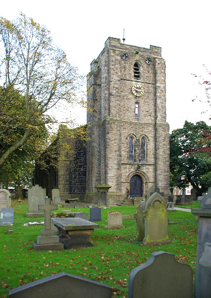
St John the Evangelist's Church, Worsthorne

St John the Evangelist's Church is in Church Square in the village of Worsthorne, Lancashire, England. It is an active Anglican parish church in the deanery...

Cliviger

Cliviger is a civil parish in the Borough of Burnley, in Lancashire, England. It is situated to the southeast of Burnley, and northwest of Todmorden....

Church of St John the Divine, Holme Chapel

The Church of St John the Divine is in Burnley Road, Holme Chapel, a village in the civil parish of Cliviger, near Burnley, Lancashire, England. It is...

Holme Hall, Cliviger

Holme Hall (or The Holme) is a Grade II* listed manor house in Cliviger near Burnley, in Lancashire, England. The house dates back to at least the 15th...

Nearby Amenities

Located within 500m of 53.773792,-2.1839969
Barrier: cattle_grid
Lat/Long: 53.7718124/-2.1783566
The data included in this document is from www.openstreetmap.org. The data is made available under ODbL.

Have you been to Rough Wood?

Leave your review of Rough Wood below (or comments, questions and feedback).