Bareden Wood
Wood, Forest in Dorset
England
Bareden Wood
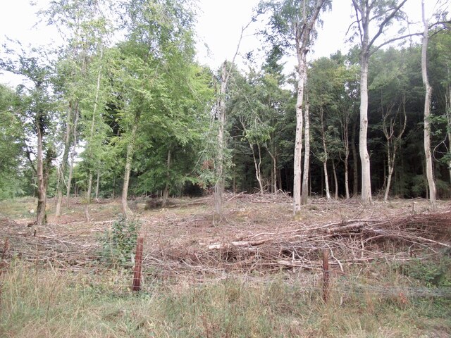
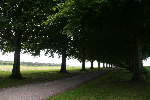
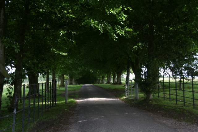
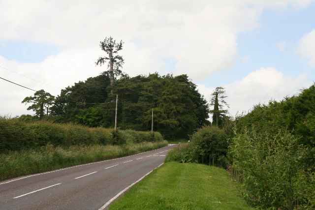
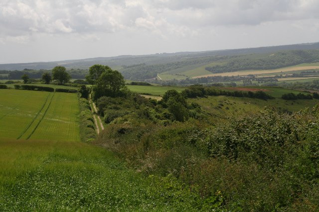
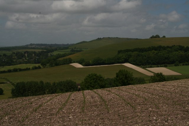
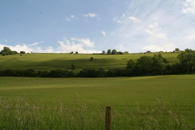
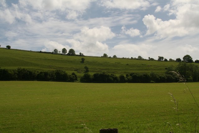
Bareden Wood is a picturesque forest located in the county of Dorset, England. Spanning over an area of approximately 200 acres, this woodland is a haven for nature enthusiasts and those seeking tranquility amidst the beauty of nature.
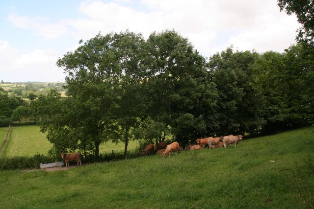
The wood is predominantly composed of native broadleaf trees, including oak, beech, birch, and ash. These towering trees create a dense canopy that provides shade and shelter to a multitude of plant and animal species. The forest floor is adorned with a carpet of wildflowers during the spring and summer months, adding vibrant colors to the already stunning landscape.
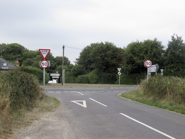
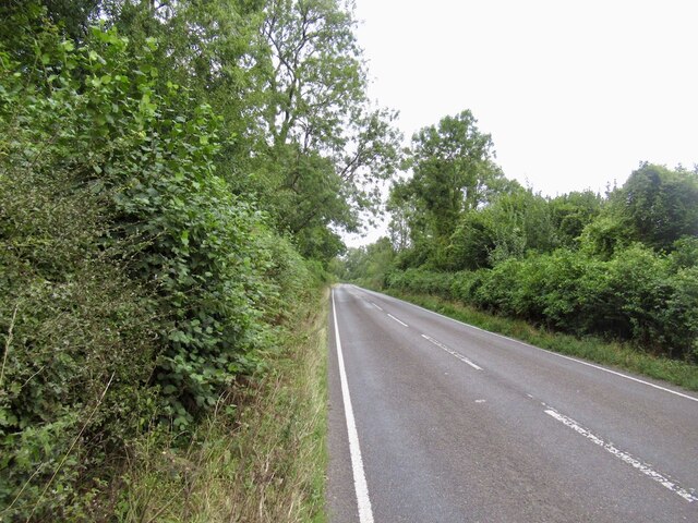
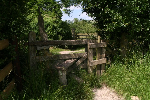
Bareden Wood is crisscrossed by a network of well-maintained footpaths and trails, making it easily accessible for walkers, hikers, and joggers. These paths wind through the forest, leading visitors to hidden gems such as a tranquil pond and a small stream that meanders through the heart of the wood.
The woodland is not only a haven for flora and fauna but also a place of historical significance. It is believed to have been in existence for several centuries, with evidence of human activity dating back to medieval times. The remnants of an ancient stone wall and an abandoned charcoal kiln provide glimpses into the past, adding an element of intrigue to the wood.
Bareden Wood offers a wealth of opportunities for nature exploration, wildlife spotting, and peaceful retreats. Whether it's a leisurely stroll or a day-long adventure, this enchanting forest in Dorset is sure to captivate visitors with its natural charm and serenity.
If you have any feedback on the listing, please let us know in the comments section below.
Bareden Wood Images
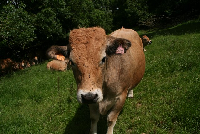
Images are sourced within 2km of 50.933447/-2.1726065 or Grid Reference ST8714. Thanks to Geograph Open Source API. All images are credited.

Bareden Wood is located at Grid Ref: ST8714 (Lat: 50.933447, Lng: -2.1726065)
Unitary Authority: Dorset
Police Authority: Dorset
What 3 Words
///hails.highbrow.canny. Near Child Okeford, Dorset
Nearby Locations
Related Wikis

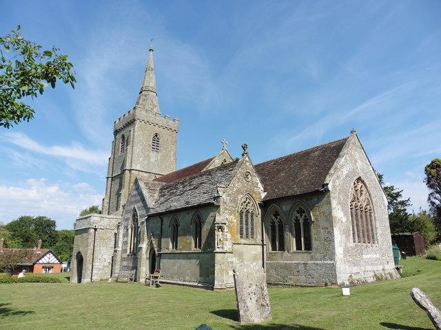
Iwerne Minster
Iwerne Minster ( YOO-ern) is a village and civil parish in Dorset, England. It lies on the edge of the Blackmore Vale, approximately midway between the...
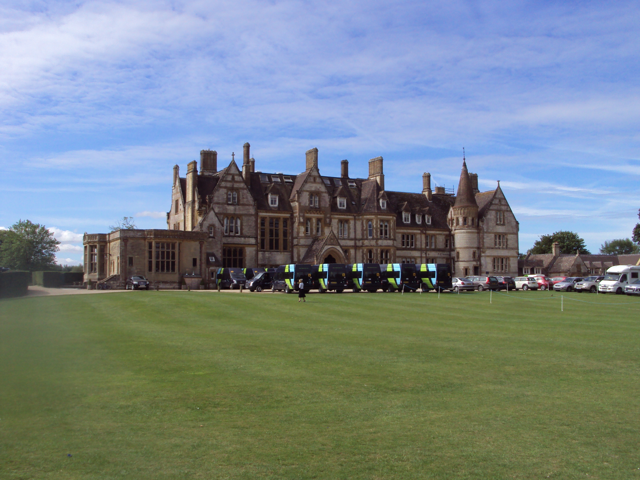
Clayesmore School
Clayesmore School is an independent school for boys and girls, aged 8 – 18 years, in the village of Iwerne Minster, Dorset, England. It is both a day...
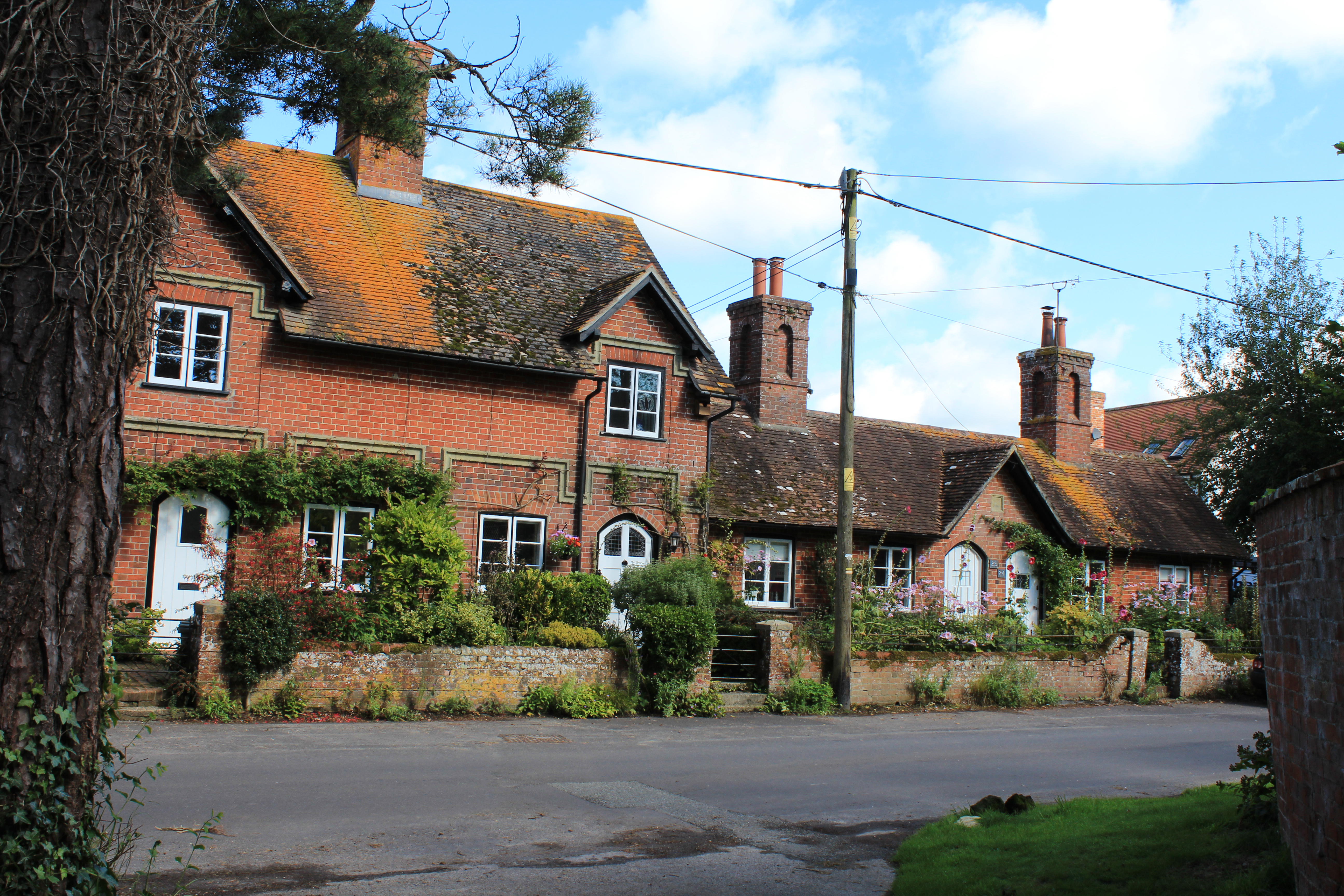
Sutton Waldron
Sutton Waldron is a village and civil parish in north Dorset, England, situated on the A350 road between Iwerne Minster and Fontmell Magna, in the Blackmore...

Fontmell Magna
Fontmell Magna is a village and civil parish in Dorset, England. It is situated in the Blackmore Vale, close to the chalk hills of Cranborne Chase, on...
Nearby Amenities
Located within 500m of 50.933447,-2.1726065Have you been to Bareden Wood?
Leave your review of Bareden Wood below (or comments, questions and feedback).