Manley Grove

Wood, Forest in Worcestershire Malvern Hills

England

Manley Grove

Croome House The National Trust Property at Croome Park, once home to the Earls of Coventry, the grounds of which were designed by Capability Brown.
Croome House Credit: Bill Johnson

Manley Grove is a picturesque village located in the county of Worcestershire, England. Situated within the enchanting woodlands of the region, Manley Grove is known for its serene and idyllic atmosphere. The village is nestled amidst a lush forest, offering residents and visitors a tranquil escape from the hustle and bustle of city life.

The village itself is small, with a population of around 500 inhabitants. The community is close-knit and friendly, with a strong sense of pride in their natural surroundings. The houses in Manley Grove are predominantly traditional cottages, adding to the village's charm and character.

The forest that surrounds Manley Grove is a haven for nature enthusiasts. It is home to a diverse range of flora and fauna, making it an ideal destination for hiking and exploring. The forest also boasts several walking trails, allowing visitors to immerse themselves in the beauty of the woodland.

Despite its secluded location, Manley Grove is not far from amenities and attractions. The nearby town of Worcestershire provides residents with access to essential services such as schools, medical facilities, and shopping centers. Additionally, the village is well-connected to major transportation routes, making it easily accessible for those wishing to explore the wider region.

Manley Grove offers a peaceful and natural setting for those seeking a slower pace of life. With its enchanting woodlands and close-knit community, it is a place where residents can truly connect with nature and enjoy a simpler way of living.

If you have any feedback on the listing, please let us know in the comments section below.

Manley Grove Images

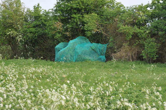
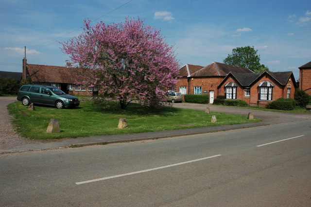
Images are sourced within 2km of 52.108451/-2.1769673 or Grid Reference SO8745. Thanks to Geograph Open Source API. All images are credited.

Croome House The National Trust Property at Croome Park, once home to the Earls of Coventry, the grounds of which were designed by Capability Brown.
Croome House
The National Trust Property at Croome Park, once home to the Earls of Coventry, the grounds of which were designed by Capability Brown.
The Lake at Croome Park This lake was created by Capability Brown and formed part of the Pleasure Park at Croome Park.
The Lake at Croome Park
This lake was created by Capability Brown and formed part of the Pleasure Park at Croome Park.
The Lake at Croome Park This lake was created by Capability Brown and formed part of the Pleasure Park at Croome Park.

The island in the middle of the lake stands out in this pnotograph.
The Lake at Croome Park
This lake was created by Capability Brown and formed part of the Pleasure Park at Croome Park. The island in the middle of the lake stands out in this pnotograph.
The Church at Croome Park Croome Park as it exists today is all the work of Capability Brown and the Earls of Coventry.

Formerly a collection of houses were to be found in the land to the west of the church.  These were removed to produce the current layout.
The Church at Croome Park
Croome Park as it exists today is all the work of Capability Brown and the Earls of Coventry. Formerly a collection of houses were to be found in the land to the west of the church. These were removed to produce the current layout.
Netting over a hedge at Kerswell Green This curious netting appeared over this hedge about a month ago, an internet search has revealed this is likely to stop birds nesting before the hedge is grubbed out to make an entrance.  

Soon after work began on building a sewage treatment works. <a href="https://www.geograph.org.uk/photo/4093553">SO8646 : Kerswell Green sewage treatment works</a>
Netting over a hedge at Kerswell Green
This curious netting appeared over this hedge about a month ago, an internet search has revealed this is likely to stop birds nesting before the hedge is grubbed out to make an entrance. Soon after work began on building a sewage treatment works. SO8646 : Kerswell Green sewage treatment works
Netting over a hedge at Kerswell Green This curious netting appeared over this hedge about a month ago, an internet search has revealed this is likely to stop birds nesting before the hedge is grubbed out to make an entrance.
Netting over a hedge at Kerswell Green
This curious netting appeared over this hedge about a month ago, an internet search has revealed this is likely to stop birds nesting before the hedge is grubbed out to make an entrance.
Cottages at Kerswell Green Unfortunately the proximity and noise of the nearby traffic on the M5 motorway detracts from the rural scene.
Cottages at Kerswell Green
Unfortunately the proximity and noise of the nearby traffic on the M5 motorway detracts from the rural scene.
Oilseed rape and cow parsley The footpath passing along the edge of this field is currently a little overgrown with oilseed rape and wild cow parsley.
Oilseed rape and cow parsley
The footpath passing along the edge of this field is currently a little overgrown with oilseed rape and wild cow parsley.
Footpath through oilseed rape This footpath through this field of oilseed rape used go to High Green until the M5 motorway cut through it in the early 1960s.
Footpath through oilseed rape
This footpath through this field of oilseed rape used go to High Green until the M5 motorway cut through it in the early 1960s.
Farm track bridge over M5 near Kinnersley
M5 northbound
M5 northbound
Croome Court and Croome River The classic view of Croome Court with the lake known as Croome River in the foreground.  The parkland the house is in was landscaped by 'Capability' Brown in the eighteenth century.  His landscaping also included the relocation of the church with the old medieval which was near the church being demolished and the new church being placed on rising ground, seen here in the background.  Here it is pictured on a summer evening.
Croome Court and Croome River
The classic view of Croome Court with the lake known as Croome River in the foreground. The parkland the house is in was landscaped by 'Capability' Brown in the eighteenth century. His landscaping also included the relocation of the church with the old medieval which was near the church being demolished and the new church being placed on rising ground, seen here in the background. Here it is pictured on a summer evening.
Evening light on Croome River Swans on Croome River with low sun on a summer evening lighting the scene.
Evening light on Croome River
Swans on Croome River with low sun on a summer evening lighting the scene.
Evening in Croome Park Evening sun lighting Croome River and Croome landscape park.
Evening in Croome Park
Evening sun lighting Croome River and Croome landscape park.
Evening sun on Croome Court Croome Court in evening sun reflected in the serpentive shaped lake known as Croome River.
Evening sun on Croome Court
Croome Court in evening sun reflected in the serpentive shaped lake known as Croome River.
Tree in Croome Park A London plane tree in Croome Landscape Park, to see the same tree in see <a href="https://www.geograph.org.uk/photo/1636202">SO8844 : Silhouetted tree, Croome Park</a>
Tree in Croome Park
A London plane tree in Croome Landscape Park, to see the same tree in see SO8844 : Silhouetted tree, Croome Park
Evening sun on Croome Court Croome Court viewed from across Croome River, an ornamental lake created by 'Capability' Brown for the 6th Earl of Coventry in the eightennth century.  The Court is leased to the National Trust and is now open to the public.  To the left is the Red Wing which is not in the care of the National Trust and is now in a sorry state.
Evening sun on Croome Court
Croome Court viewed from across Croome River, an ornamental lake created by 'Capability' Brown for the 6th Earl of Coventry in the eightennth century. The Court is leased to the National Trust and is now open to the public. To the left is the Red Wing which is not in the care of the National Trust and is now in a sorry state.
View to Knight's Hill and the Panorama Tower A dry spring and summer is evidenced here by the dry soil which has just been scuffled after the harvest of wheat. The Panorama Tower, one of the follies of Croome Park, can be seen on Knight's Hill in the background.
View to Knight's Hill and the Panorama Tower
A dry spring and summer is evidenced here by the dry soil which has just been scuffled after the harvest of wheat. The Panorama Tower, one of the follies of Croome Park, can be seen on Knight's Hill in the background.
Show me another place!

Manley Grove is located at Grid Ref: SO8745 (Lat: 52.108451, Lng: -2.1769673)

Administrative County: Worcestershire

District: Malvern Hills

Police Authority: West Mercia

What 3 Words

///appealed.thirsty.mailings. Near Kempsey, Worcestershire

Related Wikis

Croome D'Abitot

Croome D'Abitot is a village and civil parish, which shares a joint parish council with Severn Stoke, in the Malvern Hills District in the county of Worcestershire...

High Green, Worcestershire

High Green is a village in Worcestershire, England.

St Mary Magdalene's Church, Croome D'Abitot

St Mary Magdalene's Church is a former Anglican church in the grounds of Croome Court, at Croome D'Abitot, Worcestershire, England. It is recorded in...
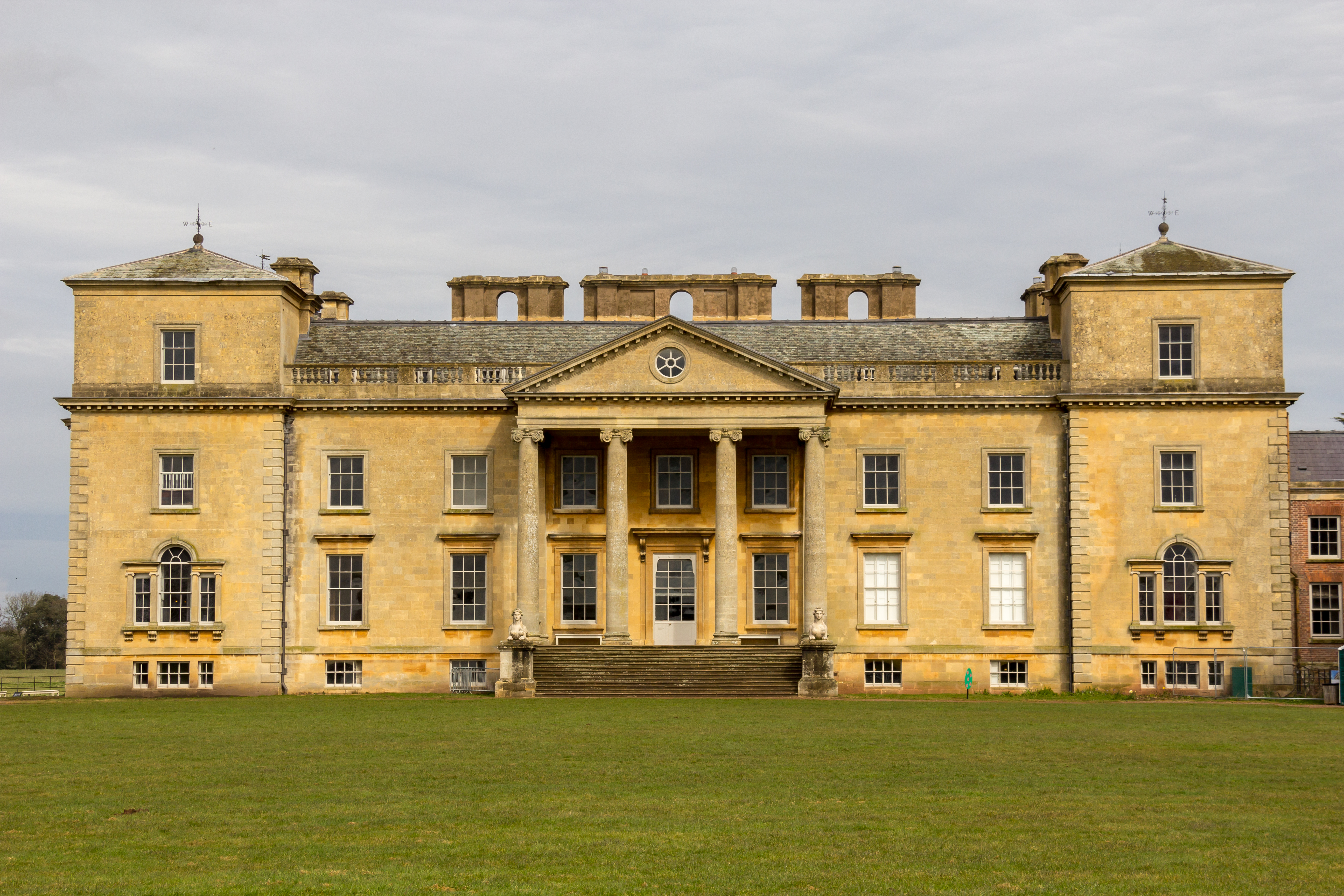
Croome Court

Croome Court is a mid-18th-century Neo-Palladian mansion surrounded by extensive landscaped parkland at Croome D'Abitot, near Upton-upon-Severn in south...

Nearby Amenities

Located within 500m of 52.108451,-2.1769673
Barrier: stile
Foot: yes
Lat/Long: 52.106203/-2.1726478
Barrier: stile
Foot: yes
Lat/Long: 52.106372/-2.1726556
Power: pole
Lat/Long: 52.1115278/-2.1816793
Power: pole
Lat/Long: 52.1107405/-2.1815828
Power: pole
Lat/Long: 52.1097999/-2.1818054
Power: pole
Lat/Long: 52.1088955/-2.1820226
Power: pole
Lat/Long: 52.108001/-2.182256
Power: pole
Lat/Long: 52.1071971/-2.1824598
Power: pole
Lat/Long: 52.1063619/-2.182661
Power: pole
Lat/Long: 52.1058347/-2.1827978
Power: pole
Lat/Long: 52.1090965/-2.169834
Power: pole
Lat/Long: 52.1093242/-2.1714058
Power: pole
Lat/Long: 52.109552/-2.1729581
Power: pole
Lat/Long: 52.109783/-2.1745332
Power: pole
Lat/Long: 52.1097892/-2.1761473
Power: pole
Lat/Long: 52.1097966/-2.1777532
Power: pole
Lat/Long: 52.1098019/-2.1791064
Power: pole
Lat/Long: 52.1098073/-2.1804663
The data included in this document is from www.openstreetmap.org. The data is made available under ODbL.

Have you been to Manley Grove?

Leave your review of Manley Grove below (or comments, questions and feedback).