Flowers Wood

Wood, Forest in Wiltshire

England

Flowers Wood

Clanger Wood, Wiltshire Looking southwest from the main track in Clanger Wood towards the carpark on the Westbury Road (A350).
Clanger Wood, Wiltshire Credit: Rebecca A Wills

Flowers Wood is a picturesque woodland located in the county of Wiltshire, England. Situated near the village of Flowers, this enchanting forest covers an area of approximately 50 acres, making it a haven for nature lovers and outdoor enthusiasts.

The wood is known for its diverse and abundant flora and fauna. A variety of tree species can be found here, including oak, beech, and birch, creating a rich and vibrant ecosystem. The forest floor is adorned with colorful wildflowers during the spring and summer seasons, adding to the natural beauty of the surroundings.

Visitors to Flowers Wood can enjoy a range of activities. There are well-maintained walking trails that crisscross through the forest, allowing visitors to explore the area at their own pace. The tranquil atmosphere and the soothing sounds of birdsong make it an ideal spot for a peaceful walk or a picnic amidst nature. Wildlife enthusiasts can also spot a variety of animals, such as deer, squirrels, and a wide array of bird species, making it a popular destination for birdwatching.

Flowers Wood is managed by the local authorities, ensuring its preservation and protection for future generations. The woodland is accessible to the public all year round, and there is no entry fee, making it an accessible and affordable destination for outdoor recreation.

In conclusion, Flowers Wood is a charming woodland in Wiltshire, offering a serene escape from the hustle and bustle of everyday life. With its diverse flora and fauna, well-maintained trails, and peaceful ambiance, it is a must-visit destination for nature enthusiasts and those seeking tranquility in a natural setting.

If you have any feedback on the listing, please let us know in the comments section below.
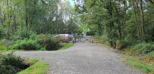
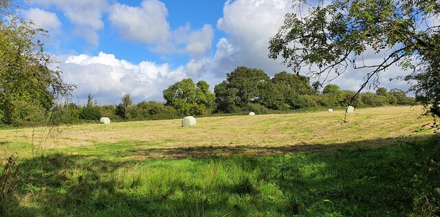
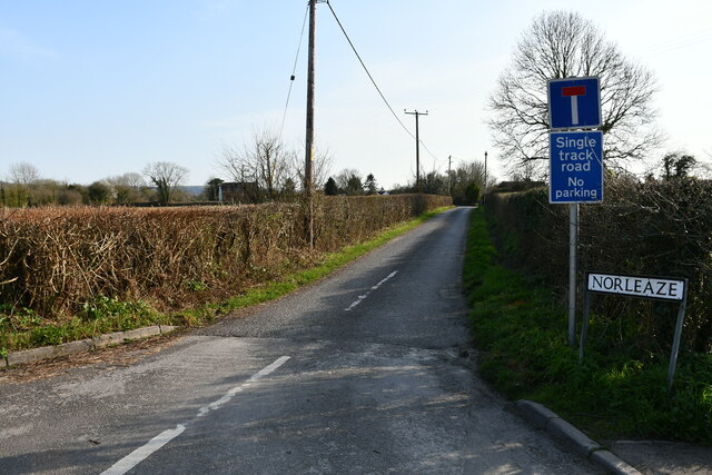
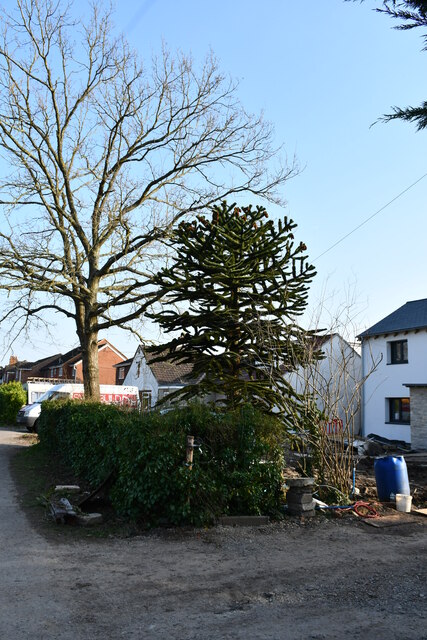
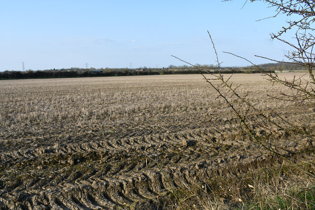
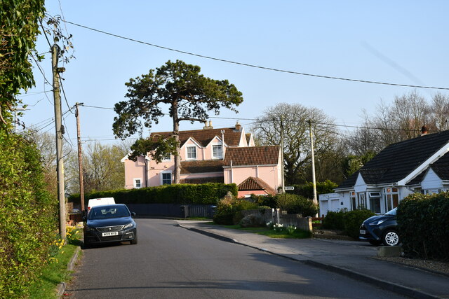
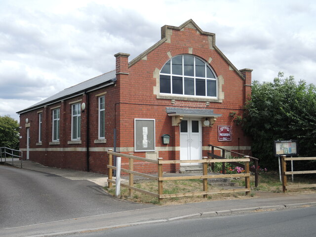
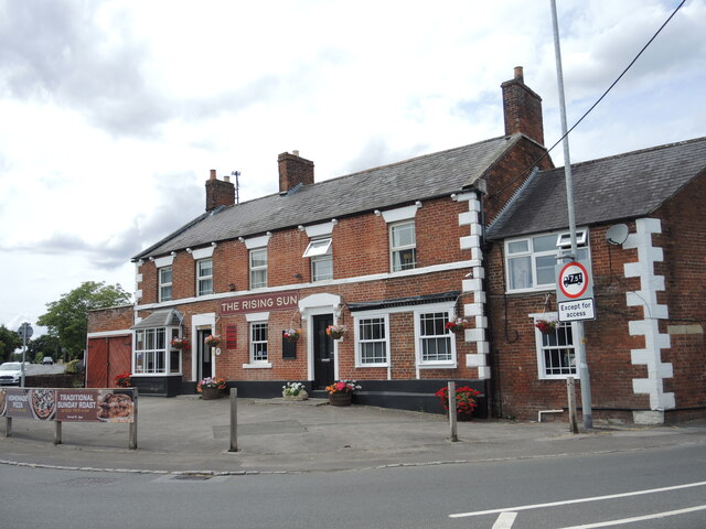
Flowers Wood Images

Images are sourced within 2km of 51.295034/-2.180085 or Grid Reference ST8755. Thanks to Geograph Open Source API. All images are credited.

Clanger Wood, Wiltshire Looking southwest from the main track in Clanger Wood towards the carpark on the Westbury Road (A350).
Clanger Wood, Wiltshire
Looking southwest from the main track in Clanger Wood towards the carpark on the Westbury Road (A350).
Clanger Wood, Wiltshire Farmland adjacent to the western perimeter of Clanger Wood.
Clanger Wood, Wiltshire
Farmland adjacent to the western perimeter of Clanger Wood.
Road to Norleaze, Near Heywood A single track No Through Road.
Road to Norleaze, Near Heywood
A single track No Through Road.
Church Road, Heywood The church is on the left in the distance. I believe it is now redundant or possibly a private house.
Church Road, Heywood
The church is on the left in the distance. I believe it is now redundant or possibly a private house.
Monkey Puzzle Tree, Church Lane, Heywood Commonly known as a Monkey Puzzle tree, it is a slow growing evergreen tree growing up to 40 m tall with a 2 m trunk diameter. It is native to central and southern Chile and western Argentina. It is the hardiest species of the conifer genus Araucaria.
The tree usually has male and female cones on separate trees and is a wind pollinated. The seeds are usually dispersed by birds and squirrels. They are edible, similar to large pinenuts. However the tree does not yield seeds until it is around 30 to 40 years old. It is tolerant of temperatures down to -20°C, and coastal salt spray.
It was originally found in Chile in the 1780s and is the national tree of Chile.
Monkey Puzzle Tree, Church Lane, Heywood
Commonly known as a Monkey Puzzle tree, it is a slow growing evergreen tree growing up to 40 m tall with a 2 m trunk diameter. It is native to central and southern Chile and western Argentina. It is the hardiest species of the conifer genus Araucaria. The tree usually has male and female cones on separate trees and is a wind pollinated. The seeds are usually dispersed by birds and squirrels. They are edible, similar to large pinenuts. However the tree does not yield seeds until it is around 30 to 40 years old. It is tolerant of temperatures down to -20°C, and coastal salt spray. It was originally found in Chile in the 1780s and is the national tree of Chile.
Field near Dursley A footpath runs to the left out of shot.
Field near Dursley
A footpath runs to the left out of shot.
The Old Vicarage, Heywood Now painted a fetching pink colour.
The Old Vicarage, Heywood
Now painted a fetching pink colour.
North Bradley Progressive Hall The hall was a publicly-funded venture, benefiting from a gift of the land by a Mr Hancock. A committee was charged with its management from the opening in 1912.
North Bradley Progressive Hall
The hall was a publicly-funded venture, benefiting from a gift of the land by a Mr Hancock. A committee was charged with its management from the opening in 1912.
The Rising Sun. North Bradley Standing at the junction of Woodmarsh, Westbury Road and Southwick Road, the pub has been here for well over a century. Back then it had only a few cottages for neighbours.
The Rising Sun. North Bradley
Standing at the junction of Woodmarsh, Westbury Road and Southwick Road, the pub has been here for well over a century. Back then it had only a few cottages for neighbours.
Pick it up! A keenly worded notice on the lane off Westbury Road.
Pick it up!
A keenly worded notice on the lane off Westbury Road.
Notice board on the entrance to the Peace Memorial grounds Plenty to read: some warning notices, some activity adverts and, in the middle, is a letter from the Queen regarding the Jubilee Lunches events.
Notice board on the entrance to the Peace Memorial grounds
Plenty to read: some warning notices, some activity adverts and, in the middle, is a letter from the Queen regarding the Jubilee Lunches events.
Along Woodmarsh The road out of Trowbridge runs through Woodmarsh and North Bradley; in times past it was the A363 until the new roundabouts and bypass were built. A residence on the road bears a benchmark - see <a href="https://www.geograph.org.uk/photo/7281547">ST8555 : Benchmark on Woodmarsh</a>.
Along Woodmarsh
The road out of Trowbridge runs through Woodmarsh and North Bradley; in times past it was the A363 until the new roundabouts and bypass were built. A residence on the road bears a benchmark - see ST8555 : Benchmark on Woodmarsh.
East end of the Rising Sun, North Bradley The end wall of the pub with a curious blocking off of a doorway and a two-light window. See <a href="https://www.geograph.org.uk/photo/7281561">ST8555 : Benchmark on the Rising Sun</a> for an old benchmark on the north-east angle beside the drainpipe.
East end of the Rising Sun, North Bradley
The end wall of the pub with a curious blocking off of a doorway and a two-light window. See ST8555 : Benchmark on the Rising Sun for an old benchmark on the north-east angle beside the drainpipe.
Benchmark on the Rising Sun A cutmark of twentieth century vintage on the side of the pub. See <span class="nowrap"><a title="https://www.bench-marks.org.uk/bm105347" rel="nofollow ugc noopener" href="https://www.bench-marks.org.uk/bm105347">Link</a><img style="margin-left:2px;" alt="External link" title="External link - shift click to open in new window" src="https://s1.geograph.org.uk/img/external.png" width="10" height="10"/></span> for the entry in the Benchmark Database and <a href="https://www.geograph.org.uk/photo/7281557">ST8555 : East end of the Rising Sun, North Bradley</a> for a wider view.
Benchmark on the Rising Sun
A cutmark of twentieth century vintage on the side of the pub. See LinkExternal link for the entry in the Benchmark Database and ST8555 : East end of the Rising Sun, North Bradley for a wider view.
Find life that lasts A banner proclaims great things in North Bradley Baptist Church.
Find life that lasts
A banner proclaims great things in North Bradley Baptist Church.
Great War memorial, North Bradley The Baptist church is a post-war construction, so it is unexpected to see a memorial to WWI - particularly such a different design. See <a href="https://www.geograph.org.uk/photo/7281587">ST8555 : An informative plaque set into the ground</a> for a plaque set into the ground.
Great War memorial, North Bradley
The Baptist church is a post-war construction, so it is unexpected to see a memorial to WWI - particularly such a different design. See ST8555 : An informative plaque set into the ground for a plaque set into the ground.
An informative plaque set into the ground At the foot of the memorial structure is this descriptive plaque. See <a href="https://www.geograph.org.uk/photo/7281583">ST8555 : Great War memorial, North Bradley</a> for the proportionate view.
An informative plaque set into the ground
At the foot of the memorial structure is this descriptive plaque. See ST8555 : Great War memorial, North Bradley for the proportionate view.
Memorial bench in the Baptist church A seat in the church grounds bears a plaque: it marks the centenary of the Armistice in 1918, and pays tribute to the 24 sons of the parish who fought but did not return.
Memorial bench in the Baptist church
A seat in the church grounds bears a plaque: it marks the centenary of the Armistice in 1918, and pays tribute to the 24 sons of the parish who fought but did not return.
Show me another place!

Flowers Wood is located at Grid Ref: ST8755 (Lat: 51.295034, Lng: -2.180085)

Unitary Authority: Wiltshire

Police Authority: Wiltshire

What 3 Words

///gloom.fights.boom. Near North Bradley, Wiltshire

Related Wikis

West Ashton

West Ashton is a village and civil parish in Wiltshire, England. It is about 2 miles (3.2 km) southeast of Trowbridge, near the A350 between Melksham and...

Yarnbrook

Yarnbrook is a large hamlet in Wiltshire, England, between the towns of Westbury and Trowbridge. Most of the settlement lies in the civil parish of North...

Picket and Clanger Wood

Picket and Clanger Wood (grid reference ST875543) is a 66.4 hectare biological Site of Special Scientific Interest in Wiltshire, England, and lies off...

Rood Ashton House

Rood Ashton House was a country house in Wiltshire, England, standing in parkland 0.5 miles (0.80 km) northeast of the village of West Ashton, near Trowbridge...

Nearby Amenities

Located within 500m of 51.295034,-2.180085
West Ashton
Place: village
Lat/Long: 51.2984497/-2.1761072
The data included in this document is from www.openstreetmap.org. The data is made available under ODbL.

Have you been to Flowers Wood?

Leave your review of Flowers Wood below (or comments, questions and feedback).