Crook Beck Plantation
Wood, Forest in Yorkshire Craven
England
Crook Beck Plantation

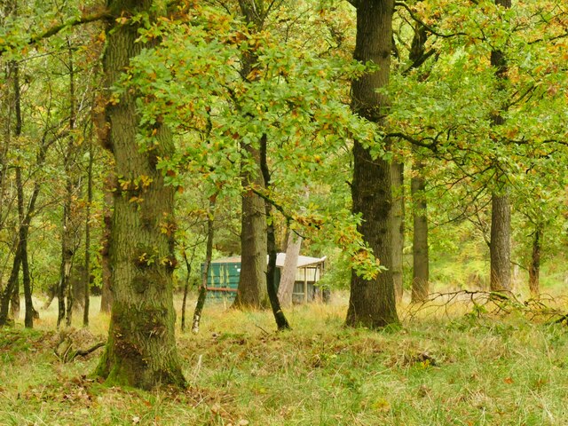
Crook Beck Plantation is a picturesque woodland located in Yorkshire, England. Situated in the heart of the region, this enchanting forest offers a serene and natural retreat for visitors and nature enthusiasts alike.
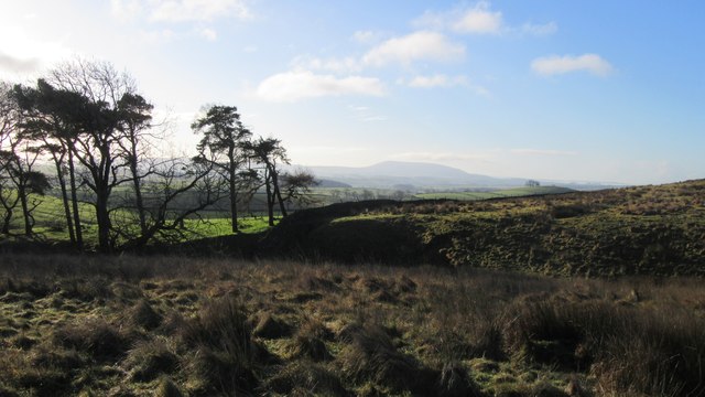
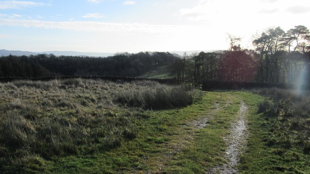
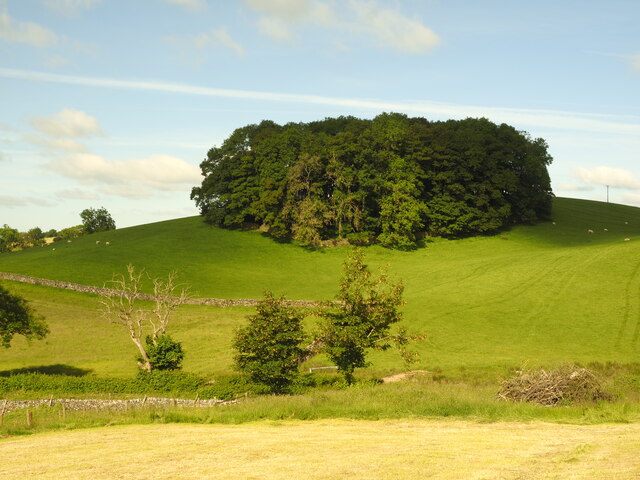
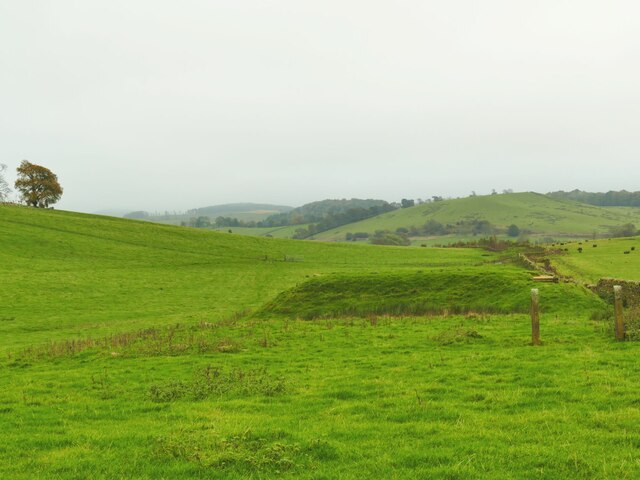
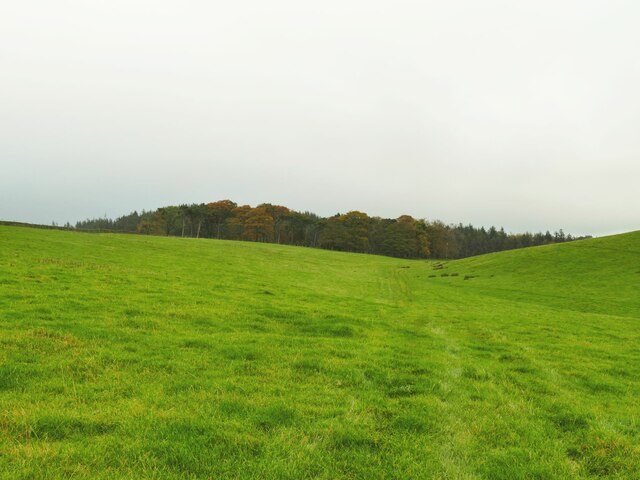
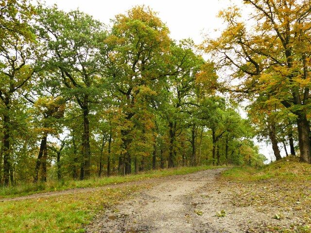
Spanning over a vast area, Crook Beck Plantation is characterized by its dense and diverse foliage, comprising a wide variety of native trees such as oak, birch, and beech. The woodland floor is adorned with an array of vibrant flora, including bluebells, primroses, and ferns, creating a visually captivating landscape.
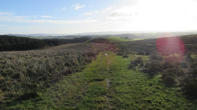
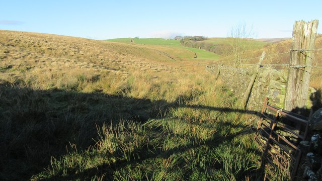
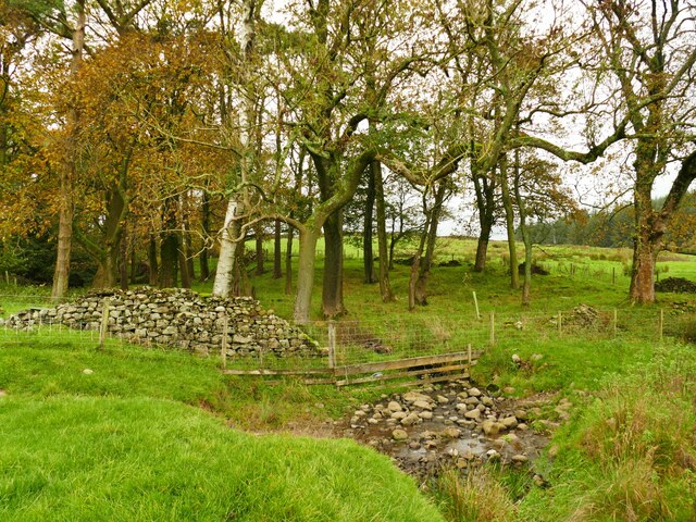
The plantation is crisscrossed by several well-maintained walking trails, allowing visitors to explore its beauty at their own pace. These trails provide an opportunity to observe the local wildlife, which includes a diverse range of bird species, squirrels, and deer. The tranquil ambiance and the gentle sound of the nearby beck (a small stream) make it a perfect spot for birdwatching and nature photography.
Crook Beck Plantation also holds historical significance, with remnants of an ancient settlement scattered throughout the woodland. These archaeological remains provide insight into the area's rich cultural heritage and offer a glimpse into the lives of its past inhabitants.
Whether one seeks a peaceful stroll amidst nature, a place to reconnect with wildlife, or a chance to delve into the region's history, Crook Beck Plantation is a destination that caters to all. Its idyllic setting and natural beauty make it a must-visit location for those seeking solace and tranquility in the heart of Yorkshire.
If you have any feedback on the listing, please let us know in the comments section below.
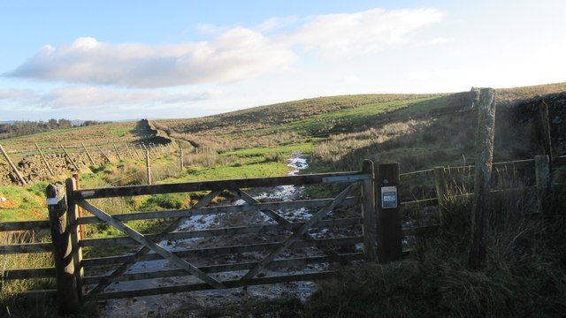
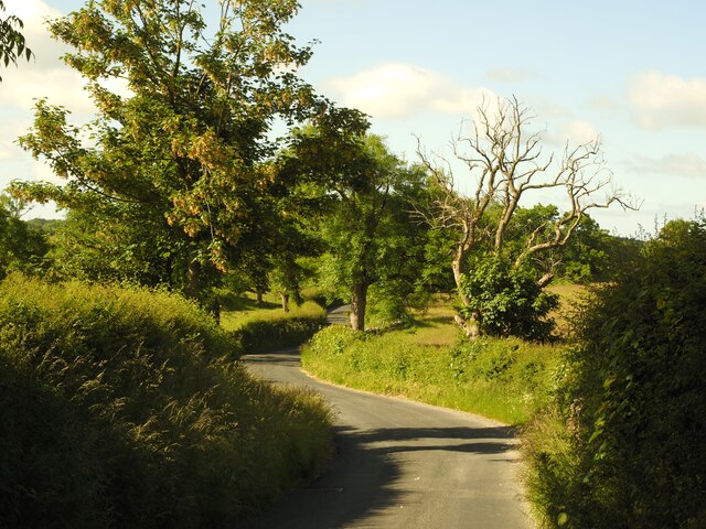
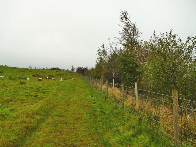
Crook Beck Plantation Images
Images are sourced within 2km of 54.020074/-2.1916312 or Grid Reference SD8758. Thanks to Geograph Open Source API. All images are credited.


Crook Beck Plantation is located at Grid Ref: SD8758 (Lat: 54.020074, Lng: -2.1916312)
Division: West Riding
Administrative County: North Yorkshire
District: Craven
Police Authority: North Yorkshire
What 3 Words
///student.corals.warp. Near Hellifield, North Yorkshire
Nearby Locations
Related Wikis

Otterburn, North Yorkshire
Otterburn (historically known as Otterburn-in-Craven) is a village and civil parish in the Craven district of North Yorkshire, England. It is at OS Grid...
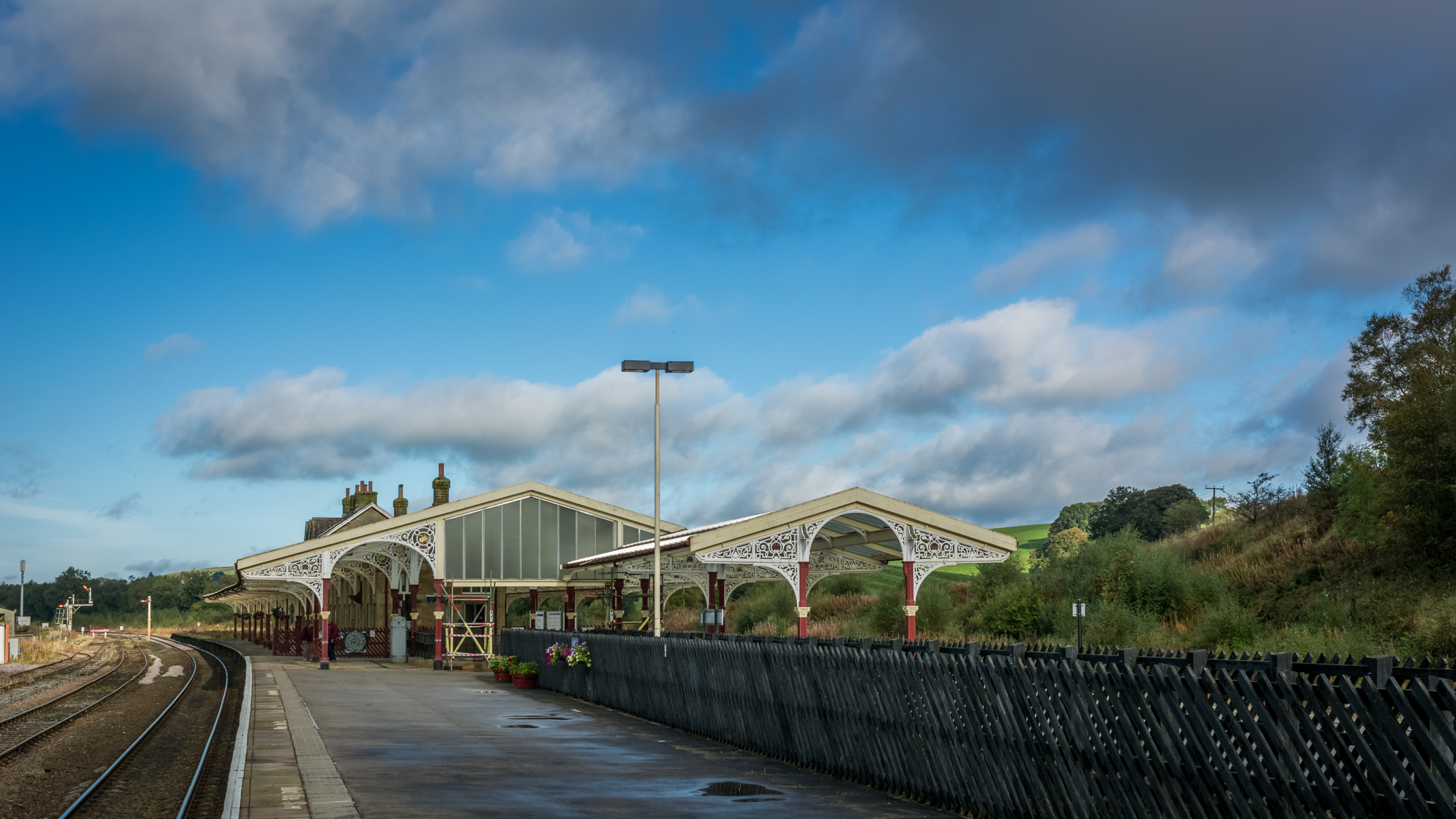
Hellifield railway station
Hellifield is a railway station on the Bentham Line, which runs between Leeds and Morecambe via Skipton. The station, situated 36 miles 17 chains (58.3...

Hellifield
Hellifield is a village and civil parish in the Craven district of North Yorkshire, England (grid reference SD855565). Historically part of the West Riding...

Hellifield engine shed
Hellifield Engine Shed was a railway locomotive depot adjacent to Hellifield railway station in North Yorkshire, England. The depot opened in 1880 and...
Nearby Amenities
Located within 500m of 54.020074,-2.1916312Have you been to Crook Beck Plantation?
Leave your review of Crook Beck Plantation below (or comments, questions and feedback).