West Ashton
Settlement in Wiltshire
England
West Ashton
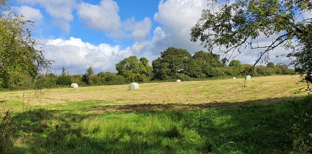
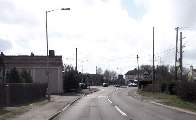
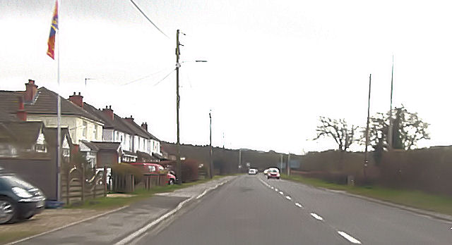
West Ashton is a small village located in the county of Wiltshire, England. Situated approximately 3 miles southwest of the town of Trowbridge, it lies in the picturesque countryside, surrounded by rolling hills and farmland. The village is part of the civil parish of Ashton Keynes.
West Ashton is a historic settlement, with evidence of human habitation dating back to the Iron Age. It is home to a number of listed buildings, including the Grade II* listed St. John's Church, which dates back to the 12th century and features a striking bell tower. The village also has a collection of charming thatched cottages and traditional stone houses, adding to its character and appeal.
Although small in size, West Ashton boasts a close-knit community and a range of amenities. The village has a primary school, providing education for local children, and a village hall, hosting various community events and activities. Additionally, there is a local pub, offering a welcoming atmosphere and a place for residents to socialize.
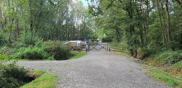
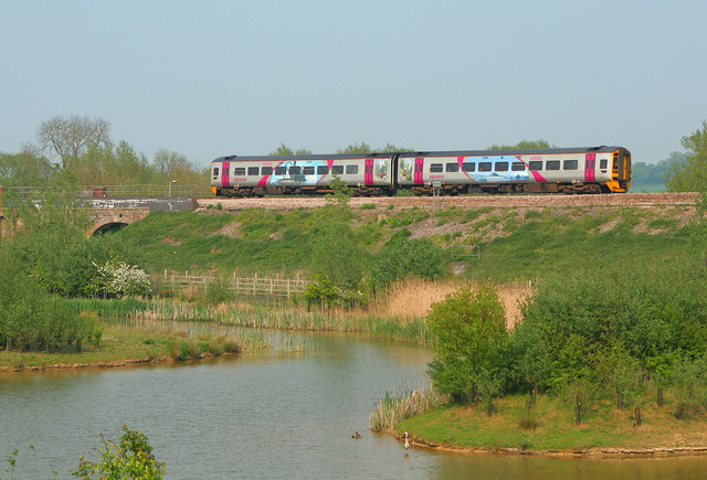
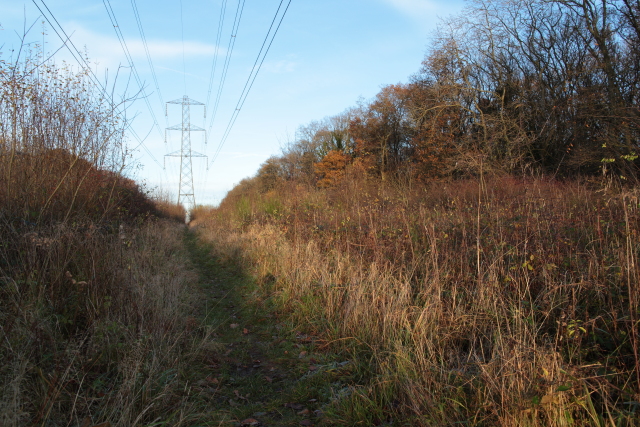
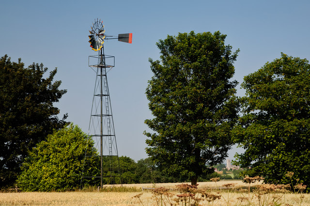
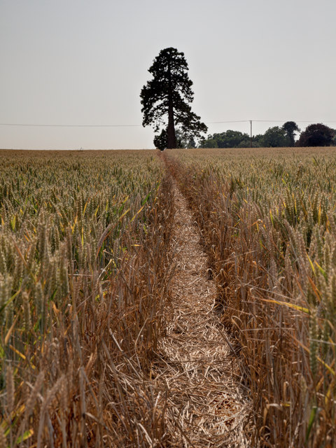
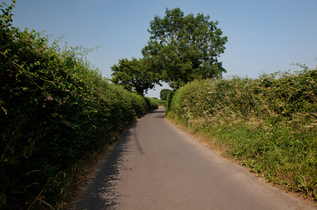
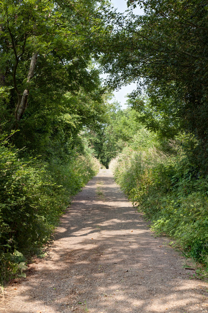
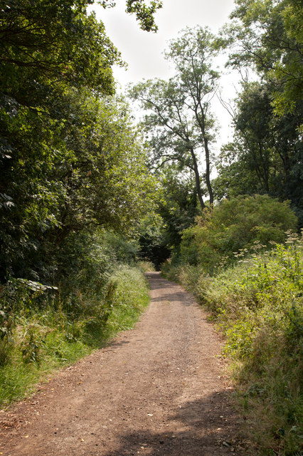
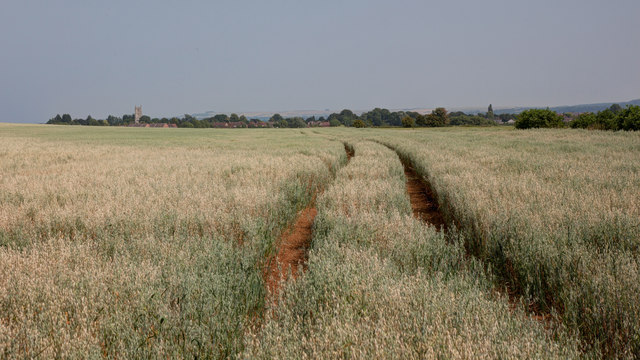
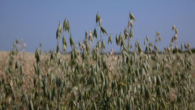
Nature enthusiasts will appreciate the scenic surroundings of West Ashton, with several footpaths and bridleways providing opportunities for countryside walks and exploration. The village is also conveniently located near the Kennet and Avon Canal, offering further outdoor recreational activities such as boating and fishing.
Overall, West Ashton offers a peaceful and idyllic countryside living experience, with its rich history, friendly community, and beautiful natural surroundings making it an attractive place to call home.
If you have any feedback on the listing, please let us know in the comments section below.
West Ashton Images
Images are sourced within 2km of 51.300911/-2.1766368 or Grid Reference ST8755. Thanks to Geograph Open Source API. All images are credited.
West Ashton is located at Grid Ref: ST8755 (Lat: 51.300911, Lng: -2.1766368)
Unitary Authority: Wiltshire
Police Authority: Wiltshire
What 3 Words
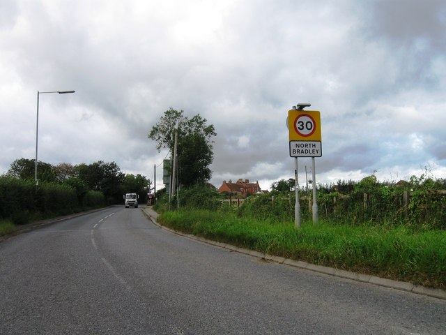
///drones.importing.hippy. Near North Bradley, Wiltshire
Nearby Locations
Related Wikis

West Ashton
West Ashton is a village and civil parish in Wiltshire, England. It is about 2 miles (3.2 km) southeast of Trowbridge, near the A350 between Melksham and...

Rood Ashton House
Rood Ashton House was a country house in Wiltshire, England, standing in parkland 0.5 miles (0.80 km) northeast of the village of West Ashton, near Trowbridge...

Yarnbrook
Yarnbrook is a large hamlet in Wiltshire, England, between the towns of Westbury and Trowbridge. Most of the settlement lies in the civil parish of North...

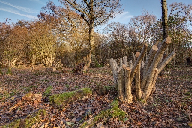
Picket and Clanger Wood
Picket and Clanger Wood (grid reference ST875543) is a 66.4 hectare biological Site of Special Scientific Interest in Wiltshire, England, and lies off...

North Bradley
North Bradley is a village and civil parish in Wiltshire, England, between Trowbridge and Westbury. The village is about 1.75 miles (2.8 km) south of Trowbridge...

Heywood, Wiltshire
Heywood is a civil parish and small village in the county of Wiltshire in southwestern England. The village is approximately 1.5 miles (2.4 km) north of...

Trowbridge Town F.C.
Trowbridge Town Football Club is a football club based in Trowbridge, Wiltshire, England. They are currently champions of the Wiltshire League Premier...
Wiltshire Library and Information Service
Wiltshire Library and Information Service is a county-wide network of public libraries based in Trowbridge, Wiltshire, England. It is service of Wiltshire...
Nearby Amenities
Located within 500m of 51.300911,-2.1766368Have you been to West Ashton?
Leave your review of West Ashton below (or comments, questions and feedback).