Nut Tree Coppice

Wood, Forest in Staffordshire South Staffordshire

England

Nut Tree Coppice

Two Pylons The view south from the path from Awbridge to Trysull.
Two Pylons Credit: Gordon Griffiths

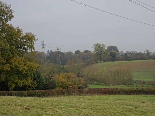
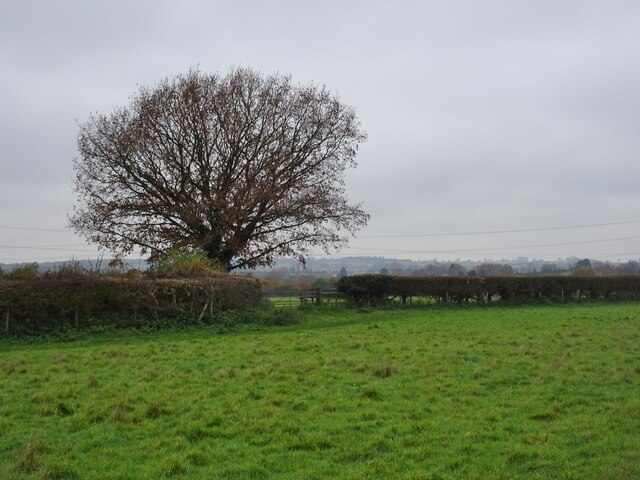
Nut Tree Coppice is a picturesque wood located in Staffordshire, England. This enchanting forest covers an area of approximately 100 acres and is renowned for its natural beauty, diverse wildlife, and rich history.

The wood is predominantly made up of broadleaf trees, including oak, ash, and beech, which create a dense canopy that provides shade and shelter for the plethora of wildlife that call this place home. The forest floor is adorned with a carpet of wildflowers, ferns, and mosses, adding to the allure of the woodland.

Nut Tree Coppice has a fascinating history that dates back centuries. It was once part of the ancient Needwood Forest, which was used as a hunting ground by royalty and nobles. The wood's name is believed to have originated from the abundance of nut trees that once thrived here, providing sustenance for both animals and humans.

Visitors to Nut Tree Coppice can enjoy a range of activities. The forest offers numerous well-marked trails for walking, cycling, and horseback riding, allowing visitors to explore its natural wonders at their own pace. Wildlife enthusiasts will be delighted by the diverse array of species that inhabit the wood, including deer, foxes, badgers, and a variety of bird species.

The wood is also a popular spot for nature photography, with its idyllic scenery and vibrant colors providing endless opportunities for capturing stunning images. Additionally, there are designated picnic areas where visitors can relax and enjoy a meal surrounded by nature.

Overall, Nut Tree Coppice is a true gem of Staffordshire, offering a tranquil escape into nature and a glimpse into the region's rich history.

If you have any feedback on the listing, please let us know in the comments section below.

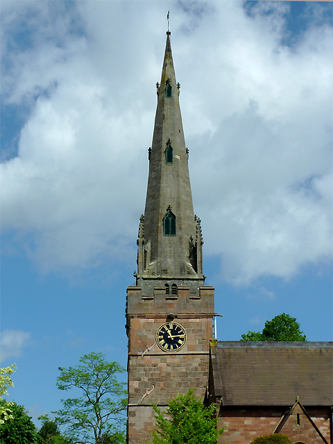
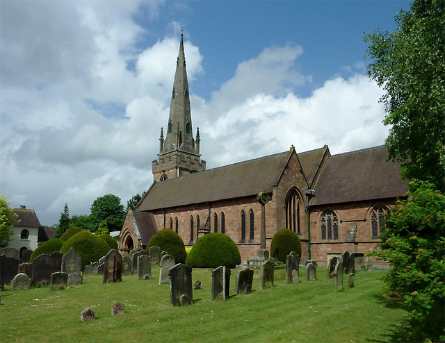
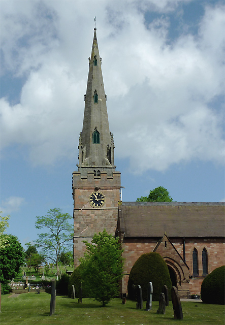
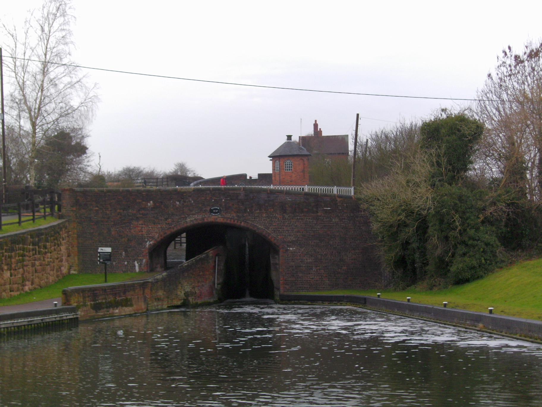
Nut Tree Coppice Images

Images are sourced within 2km of 52.55299/-2.188428 or Grid Reference SO8795. Thanks to Geograph Open Source API. All images are credited.

Two Pylons The view south from the path from Awbridge to Trysull.
Two Pylons
The view south from the path from Awbridge to Trysull.
Hedge Tree The view from the footpath near Bratch Common Road Wombourne.
Hedge Tree
The view from the footpath near Bratch Common Road Wombourne.
Broken Canal Bridge The view of Dimmingsdale Road Bridge over the Staffordshire and Worcestershire Canal in Lower Penn. Another vehicle has demolished the bridge wall.
Broken Canal Bridge
The view of Dimmingsdale Road Bridge over the Staffordshire and Worcestershire Canal in Lower Penn. Another vehicle has demolished the bridge wall.
Approach to Dimmingsdale Lock The view of the Staffordshire and Worcestershire Canal near Lower Penn.
Approach to Dimmingsdale Lock
The view of the Staffordshire and Worcestershire Canal near Lower Penn.
Empty Mooring The view across the Staffordshire and Worcestershire Canal by the Greyhound Kennels near Wombourne.
Empty Mooring
The view across the Staffordshire and Worcestershire Canal by the Greyhound Kennels near Wombourne.
Chamberlain's Lane Track View The view from the path towards Vicarage Road in Lower Penn, Wolverhampton.
Chamberlain's Lane Track View
The view from the path towards Vicarage Road in Lower Penn, Wolverhampton.
Council Housing - Warstones Drive Stylistically these appear to be 1950s though are not shown on my late 1960s streetmap.
Council Housing - Warstones Drive
Stylistically these appear to be 1950s though are not shown on my late 1960s streetmap.
Council Housing - Claverley Drive The immediate post war period saw some inovative designs using preformed components such as these houses on the Warstones Estate.
Council Housing - Claverley Drive
The immediate post war period saw some inovative designs using preformed components such as these houses on the Warstones Estate.
Wombourne Institute The 1863 Institute in Church Road stands next to St Benedict Church overlooking the Staffordshire Village Green.
Wombourne Institute
The 1863 Institute in Church Road stands next to St Benedict Church overlooking the Staffordshire Village Green.
Wombourne Church The St Benedict Biscop Church stands in Church Road overlooking the Village Green.
Wombourne Church
The St Benedict Biscop Church stands in Church Road overlooking the Village Green.
Green on the Green Wombourne Bowls Club stands on the Staffordshire Village Green, with St Benedict's Church in the background.
Green on the Green
Wombourne Bowls Club stands on the Staffordshire Village Green, with St Benedict's Church in the background.
Wombourne Path The view up Maypole Street alongside the Staffordshire Village Green.
Wombourne Path
The view up Maypole Street alongside the Staffordshire Village Green.
Wombourne Butchers The view of Boxley's of Wombourne in Windmill Bank near the Staffordshire Village Green.
Wombourne Butchers
The view of Boxley's of Wombourne in Windmill Bank near the Staffordshire Village Green.
Maypole and Street The view in Maypole Street Wombourne near the Staffordshire Village Green.
Maypole and Street
The view in Maypole Street Wombourne near the Staffordshire Village Green.
The spire of St Benedict Biscop Church at Wombourne, Staffordshire In 1840 nearly all the then existing medieval church was demolished. The 14th century tower with its recessed stone spire was retained. The 1840 rebuild was itself taken down, and the present fine structure replaced it in 1867 - again retaining the original 14th century tower and spire.
The spire of St Benedict Biscop Church at Wombourne, Staffordshire
In 1840 nearly all the then existing medieval church was demolished. The 14th century tower with its recessed stone spire was retained. The 1840 rebuild was itself taken down, and the present fine structure replaced it in 1867 - again retaining the original 14th century tower and spire.
St Benedict Biscop Church in Wombourne, Staffordshire In 1840 nearly all the then existing medieval church was demolished. The 14th century tower with its recessed stone spire was retained. The 1840 rebuild was itself taken down, and the present fine structure replaced it in 1867 - again retaining the original 14th century tower and spire.
St Benedict Biscop Church in Wombourne, Staffordshire
In 1840 nearly all the then existing medieval church was demolished. The 14th century tower with its recessed stone spire was retained. The 1840 rebuild was itself taken down, and the present fine structure replaced it in 1867 - again retaining the original 14th century tower and spire.
St Benedict Biscop Church in Wombourne, Staffordshire In 1840 nearly all the then existing medieval church was demolished. The 14th century tower with its recessed stone spire was retained. The 1840 rebuild was itself taken down, and the present fine structure replaced it in 1867 - again retaining the original 14th century tower and spire.

<span class="nowrap"><a title="http://www.stbenedictbiscop.org.uk/" rel="nofollow ugc noopener" href="http://www.stbenedictbiscop.org.uk/">Link</a><img style="margin-left:2px;" alt="External link" title="External link - shift click to open in new window" src="https://s1.geograph.org.uk/img/external.png" width="10" height="10"/></span>
St Benedict Biscop Church in Wombourne, Staffordshire
In 1840 nearly all the then existing medieval church was demolished. The 14th century tower with its recessed stone spire was retained. The 1840 rebuild was itself taken down, and the present fine structure replaced it in 1867 - again retaining the original 14th century tower and spire. LinkExternal link
Show me another place!

Nut Tree Coppice is located at Grid Ref: SO8795 (Lat: 52.55299, Lng: -2.188428)

Administrative County: Staffordshire

District: South Staffordshire

Police Authority: Staffordshire

What 3 Words

///bride.souk.event. Near Wombourn, Staffordshire

Related Wikis

Orton, Staffordshire

Orton is a hamlet in the South Staffordshire district, in the English county of Staffordshire. Nearby settlements include the city of Wolverhampton and...

Lower Penn

Lower Penn is a village in South Staffordshire, situated to the south-west of Wolverhampton, West Midlands. The Civil Parish covers the area of the historic...

Wombourn railway station

Wombourn railway station was the main intermediate station on the Wombourne Branch Line, situated at the Bratch. It was opened by the Great Western Railway...

Bratch

The Bratch is an area of Wombourne in South Staffordshire, England, noted for its industrial heritage and more recently as a way station for walkers, riders...

Penn Halt railway station

Penn Halt was the smallest of all stops on the Wombourne Branch Line. It was opened by the Great Western Railway in 1925 and closed in 1932. The line was...

Highfields School, Wolverhampton

Highfields School is a mixed secondary school and sixth form located in the Penn area of Wolverhampton, in the West Midlands of England. It was formed...

The Wodehouse

The Wodehouse is a Grade II* listed English country house near Wombourne, Staffordshire, notable as the family seat of the Georgian landscape designer...

Wombourne High School

Wombourne High School (formerly Ounsdale High School) is a coeducational secondary school and sixth form located in Wombourne, Staffordshire, England....

Nearby Amenities

Located within 500m of 52.55299,-2.188428
Power: tower
Source: bing
Lat/Long: 52.5546914/-2.1882841
Power: tower
Source: bing
Lat/Long: 52.5546843/-2.1887908
Power: tower
Source: bing
Lat/Long: 52.5504583/-2.1848638
Power: tower
Source: bing
Lat/Long: 52.5505591/-2.1845122
Power: tower
Source: bing
Lat/Long: 52.5525192/-2.1863087
Power: tower
Source: bing
Lat/Long: 52.5526484/-2.1859312
Ele: 163m
Man Made: survey_point
Lat/Long: 52.551759/-2.1826878
Barrier: kissing_gate
Lat/Long: 52.5489848/-2.1903986
The data included in this document is from www.openstreetmap.org. The data is made available under ODbL.

Have you been to Nut Tree Coppice?

Leave your review of Nut Tree Coppice below (or comments, questions and feedback).