Spring Hill

Settlement in Staffordshire South Staffordshire

England

Spring Hill

Council Housing - Pennwood Court One of three tower blocks built in 1967 on high ground at Merry Hill.
Council Housing - Pennwood Court Credit: John M

Spring Hill is a picturesque village located in the county of Staffordshire, England. Situated near the town of Cannock, it is nestled amidst the beautiful countryside of the West Midlands. The village is known for its tranquil atmosphere, stunning natural surroundings, and close-knit community.

Spring Hill offers a range of amenities and services to its residents and visitors. The village boasts a charming primary school, providing education for the local children. Additionally, there are several local shops, including a convenience store and a post office, catering to the daily needs of the community. For recreational activities, Spring Hill is surrounded by scenic walking trails and green spaces, making it an ideal location for those who enjoy outdoor pursuits.

The village is well-connected to nearby towns and cities, with convenient transportation links. Cannock, located just a short distance away, offers a wider range of amenities, including shopping centers, restaurants, and entertainment venues. The nearby A5 and M6 motorways provide easy access to major cities such as Birmingham and Stoke-on-Trent.

Spring Hill is proud of its strong community spirit, with various local events and gatherings taking place throughout the year. These events offer an opportunity for residents to come together, foster relationships, and celebrate the village's unique character.

Overall, Spring Hill, Staffordshire, offers a peaceful and idyllic setting for those seeking a serene countryside lifestyle, while also providing easy access to nearby urban centers.

If you have any feedback on the listing, please let us know in the comments section below.
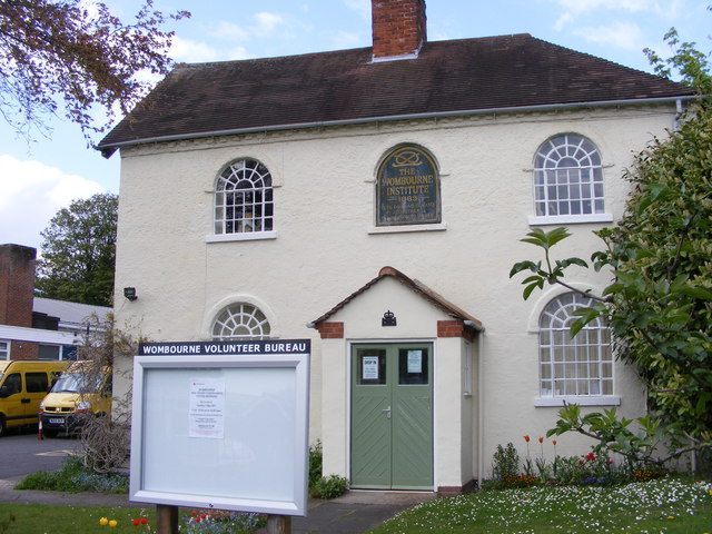
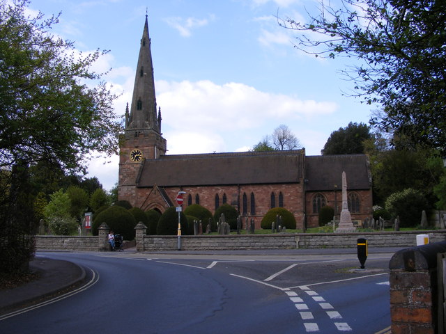
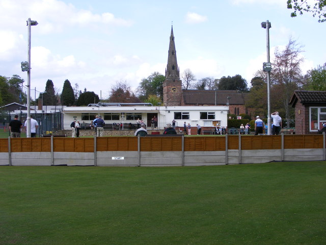
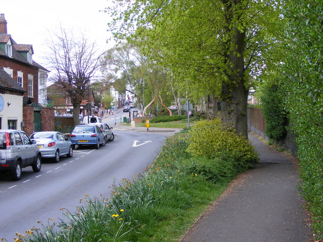
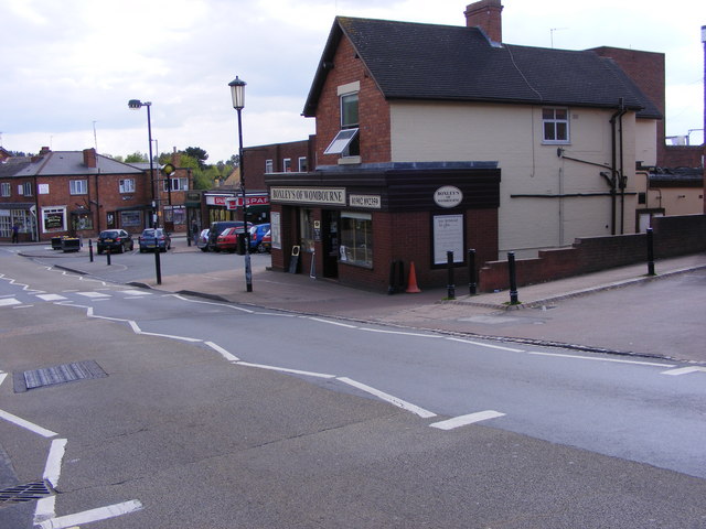
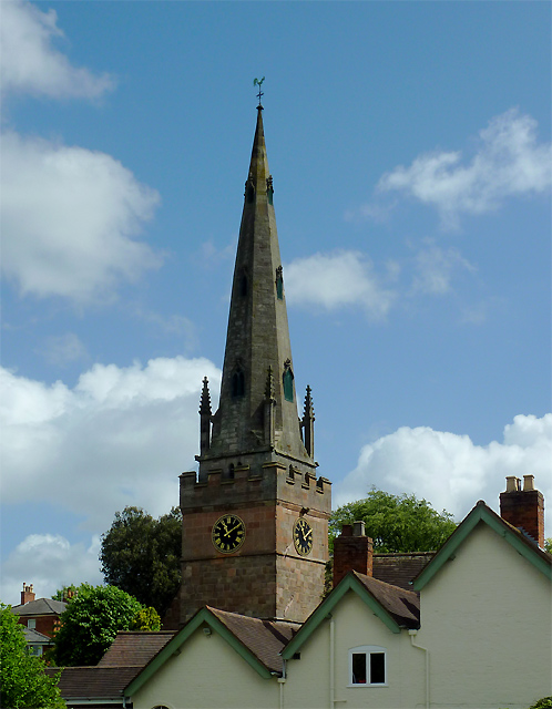
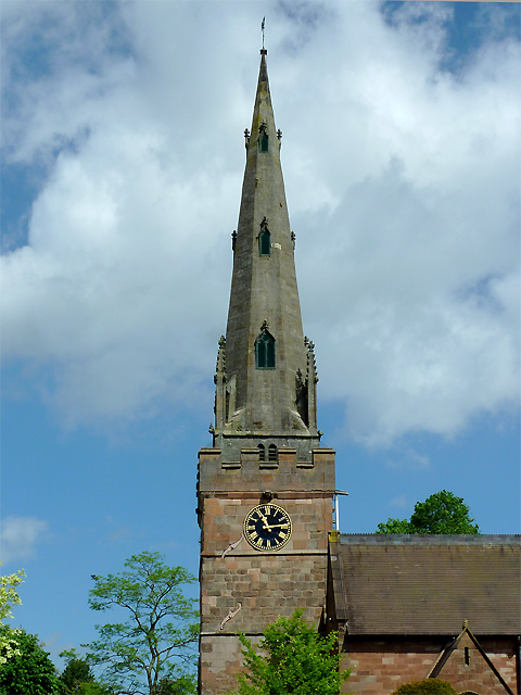
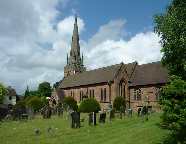
Spring Hill Images

Images are sourced within 2km of 52.553017/-2.1822042 or Grid Reference SO8795. Thanks to Geograph Open Source API. All images are credited.

Council Housing - Pennwood Court One of three tower blocks built in 1967 on high ground at Merry Hill.
Council Housing - Pennwood Court
One of three tower blocks built in 1967 on high ground at Merry Hill.
Council Housing - St Joseph's Court One of three tower blocks built in 1967 on high ground at Merry Hill.
Council Housing - St Joseph's Court
One of three tower blocks built in 1967 on high ground at Merry Hill.
Council Housing - Warstones Gardens Stylistically these appear to be 1950s though are not shown on my late 1960s streetmap.
Council Housing - Warstones Gardens
Stylistically these appear to be 1950s though are not shown on my late 1960s streetmap.
Council Housing - Warstones Drive Stylistically these appear to be 1950s though are not shown on my late 1960s streetmap.
Council Housing - Warstones Drive
Stylistically these appear to be 1950s though are not shown on my late 1960s streetmap.
Council Housing - North Green The early 1950s saw the postwar development at Warstones. Like other estates of the period there were no boundary walls on the frontage. The photo is taken from the Warstones Green open space.
Council Housing - North Green
The early 1950s saw the postwar development at Warstones. Like other estates of the period there were no boundary walls on the frontage. The photo is taken from the Warstones Green open space.
Council Housing - East Green The early 1950s saw the postwar development at Warstones. Like other estates of the period there were no boundary walls on the frontage. The photo is taken from the Warstones Green open space.
Council Housing - East Green
The early 1950s saw the postwar development at Warstones. Like other estates of the period there were no boundary walls on the frontage. The photo is taken from the Warstones Green open space.
Council Housing - Kingslow Avenue The council housing programme of the 1950s was driven by slum clearance of the areas close to the town centre.

Despite some misgivings with regard to the social effects Wolverhampton Council adopted the policy of building flats. The first blocks of flats were built on the Newbolds Estate in 1950 followed by more blocks at Merridale in 1954. The largest collection occurs on the Long Knowle Estate built in 1955-6. The Graiseley Estate (Dale Street)saw the first deck access flats built in the borough with two eight storey blocks, since demolished. 

The early 1950s saw a change in housing policy with overspill estates developed by Wolverhampton Council outside the borough boundaries in Wednesfield UDC (Long Knowle and Ashmore Park) and Seisdon RDC (Wombourne).
  
Further developments continued within the borough boundaries at Deans Road (next to Old Heath Estate), Underhill (next to The Scotlands Estate)and Warstones.
Council Housing - Kingslow Avenue
The council housing programme of the 1950s was driven by slum clearance of the areas close to the town centre. Despite some misgivings with regard to the social effects Wolverhampton Council adopted the policy of building flats. The first blocks of flats were built on the Newbolds Estate in 1950 followed by more blocks at Merridale in 1954. The largest collection occurs on the Long Knowle Estate built in 1955-6. The Graiseley Estate (Dale Street)saw the first deck access flats built in the borough with two eight storey blocks, since demolished. The early 1950s saw a change in housing policy with overspill estates developed by Wolverhampton Council outside the borough boundaries in Wednesfield UDC (Long Knowle and Ashmore Park) and Seisdon RDC (Wombourne). Further developments continued within the borough boundaries at Deans Road (next to Old Heath Estate), Underhill (next to The Scotlands Estate)and Warstones.
Council Housing - Claverley Drive The immediate post war period saw some inovative designs using preformed components such as these houses on the Warstones Estate.
Council Housing - Claverley Drive
The immediate post war period saw some inovative designs using preformed components such as these houses on the Warstones Estate.
Council Housing - Kingsclere Walk These houses date from around 1970.
Council Housing - Kingsclere Walk
These houses date from around 1970.
Wombourne Institute The 1863 Institute in Church Road stands next to St Benedict Church overlooking the Staffordshire Village Green.
Wombourne Institute
The 1863 Institute in Church Road stands next to St Benedict Church overlooking the Staffordshire Village Green.
Wombourne Church The St Benedict Biscop Church stands in Church Road overlooking the Village Green.
Wombourne Church
The St Benedict Biscop Church stands in Church Road overlooking the Village Green.
Green on the Green Wombourne Bowls Club stands on the Staffordshire Village Green, with St Benedict's Church in the background.
Green on the Green
Wombourne Bowls Club stands on the Staffordshire Village Green, with St Benedict's Church in the background.
Wombourne Path The view up Maypole Street alongside the Staffordshire Village Green.
Wombourne Path
The view up Maypole Street alongside the Staffordshire Village Green.
Wombourne Butchers The view of Boxley's of Wombourne in Windmill Bank near the Staffordshire Village Green.
Wombourne Butchers
The view of Boxley's of Wombourne in Windmill Bank near the Staffordshire Village Green.
Maypole and Street The view in Maypole Street Wombourne near the Staffordshire Village Green.
Maypole and Street
The view in Maypole Street Wombourne near the Staffordshire Village Green.
The spire of St Benedict Biscop Church at Wombourne, Staffordshire In 1840 nearly all the then existing medieval church was demolished. The 14th century tower with its recessed stone spire was retained. The 1840 rebuild was itself taken down, and the present fine structure replaced it in 1867 - again retaining the original 14th century tower and spire.
The spire of St Benedict Biscop Church at Wombourne, Staffordshire
In 1840 nearly all the then existing medieval church was demolished. The 14th century tower with its recessed stone spire was retained. The 1840 rebuild was itself taken down, and the present fine structure replaced it in 1867 - again retaining the original 14th century tower and spire.
St Benedict Biscop Church in Wombourne, Staffordshire In 1840 nearly all the then existing medieval church was demolished. The 14th century tower with its recessed stone spire was retained. The 1840 rebuild was itself taken down, and the present fine structure replaced it in 1867 - again retaining the original 14th century tower and spire.
St Benedict Biscop Church in Wombourne, Staffordshire
In 1840 nearly all the then existing medieval church was demolished. The 14th century tower with its recessed stone spire was retained. The 1840 rebuild was itself taken down, and the present fine structure replaced it in 1867 - again retaining the original 14th century tower and spire.
Show me another place!

Spring Hill is located at Grid Ref: SO8795 (Lat: 52.553017, Lng: -2.1822042)

Administrative County: Staffordshire

District: South Staffordshire

Police Authority: Staffordshire

What 3 Words

///before.asleep.puppy. Near Wombourn, Staffordshire

Related Wikis

Lower Penn

Lower Penn is a village in South Staffordshire, situated to the south-west of Wolverhampton, West Midlands. The Civil Parish covers the area of the historic...

Orton, Staffordshire

Orton is a hamlet in the South Staffordshire district, in the English county of Staffordshire. Nearby settlements include the city of Wolverhampton and...

Wombourn railway station

Wombourn railway station was the main intermediate station on the Wombourne Branch Line, situated at the Bratch. It was opened by the Great Western Railway...

Highfields School, Wolverhampton

Highfields School is a mixed secondary school and sixth form in the Penn area of Wolverhampton, in the West Midlands of England. It was formed in 1957...

Nearby Amenities

Located within 500m of 52.553017,-2.1822042
Power: tower
Source: bing
Lat/Long: 52.5546914/-2.1882841
Power: tower
Source: bing
Lat/Long: 52.5546843/-2.1887908
Power: tower
Source: bing
Lat/Long: 52.5504583/-2.1848638
Power: tower
Source: bing
Lat/Long: 52.5505591/-2.1845122
Power: tower
Source: bing
Lat/Long: 52.5525192/-2.1863087
Power: tower
Source: bing
Lat/Long: 52.5526484/-2.1859312
Post Box
Lat/Long: 52.5547019/-2.176754
Man Made: tower
Source: bing
Tower Type: communication
Lat/Long: 52.549225/-2.182562
Ele: 163m
Man Made: survey_point
Lat/Long: 52.551759/-2.1826878
Generator Method: photovoltaic
Generator Output Electricity: yes
Generator Source: solar
Generator Type: solar_photovoltaic_panel
Location: roof
Power: generator
Lat/Long: 52.555667/-2.1784687
Generator Method: photovoltaic
Generator Output Electricity: yes
Generator Source: solar
Generator Type: solar_photovoltaic_panel
Location: roof
Power: generator
Lat/Long: 52.5572766/-2.181285
The data included in this document is from www.openstreetmap.org. The data is made available under ODbL.

Have you been to Spring Hill?

Leave your review of Spring Hill below (or comments, questions and feedback).