Miss Mary's Wood
Wood, Forest in Northumberland
England
Miss Mary's Wood
Miss Mary's Wood is a picturesque forest located in Northumberland, a county in the north of England. Spanning over a vast area, the wood is known for its stunning natural beauty and diverse wildlife. The wood is named after Miss Mary, a local resident who dedicated her life to preserving and caring for the forest.
The wood is characterized by its dense canopy of towering trees, including oak, ash, and beech, which provide a haven for a wide range of flora and fauna. The forest floor is covered with a rich carpet of ferns, mosses, and wildflowers, adding to its enchanting ambiance.
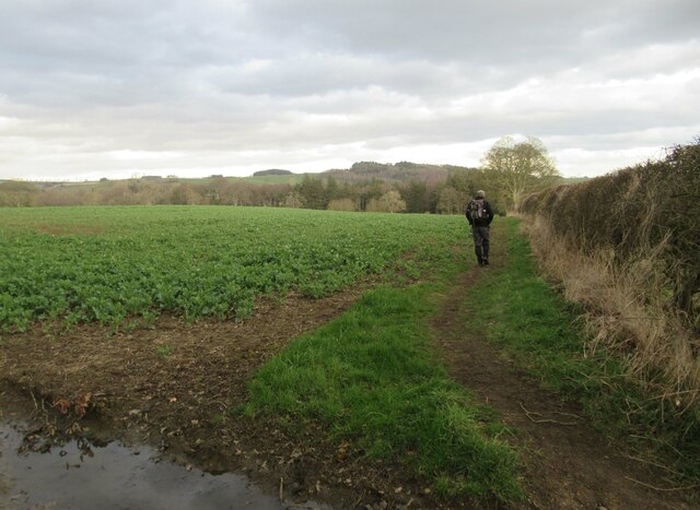
Walking through Miss Mary's Wood, visitors can enjoy a peaceful and tranquil atmosphere, with the only sounds being the rustling of leaves and the chirping of birds. The wood is a popular destination for nature enthusiasts, hikers, and birdwatchers, who often spot rare species such as red squirrels, roe deer, and various bird species including woodpeckers and nightingales.
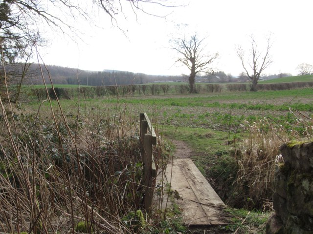
The wood is also home to several well-maintained walking trails, allowing visitors to explore the forest at their own pace. These trails offer breathtaking views of the surrounding countryside and provide opportunities for photography and nature appreciation.
Miss Mary's Wood is not only a haven for wildlife and nature lovers but also serves as an important ecological site. It is actively managed by local conservation organizations to maintain its biodiversity and ensure the preservation of its natural habitat.
Overall, Miss Mary's Wood is a magical destination that offers a unique and immersive experience in the heart of Northumberland's natural beauty.
If you have any feedback on the listing, please let us know in the comments section below.
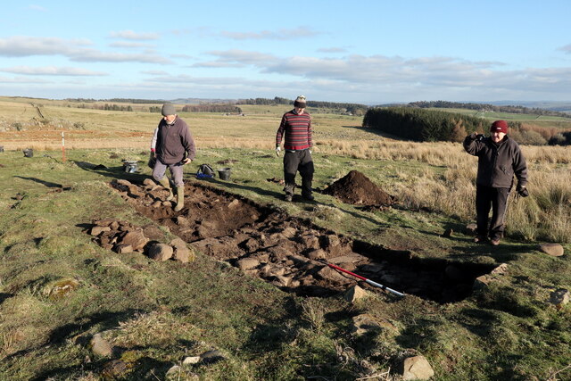
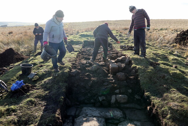
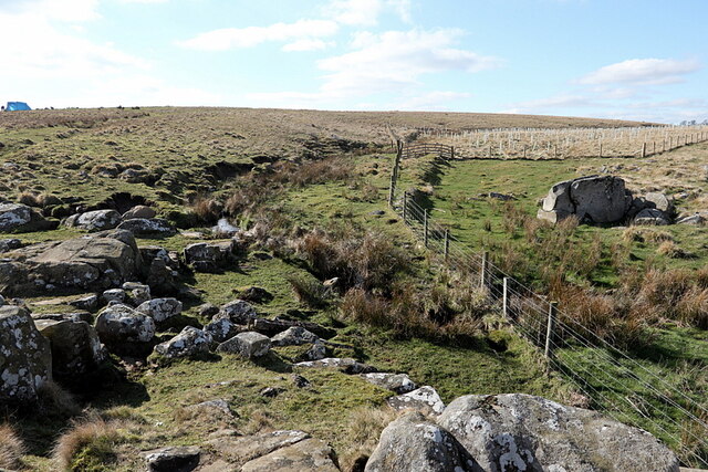
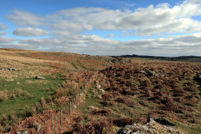
Miss Mary's Wood Images
Images are sourced within 2km of 55.015143/-2.1999188 or Grid Reference NY8768. Thanks to Geograph Open Source API. All images are credited.


Miss Mary's Wood is located at Grid Ref: NY8768 (Lat: 55.015143, Lng: -2.1999188)
Unitary Authority: Northumberland
Police Authority: Northumbria
What 3 Words
///tarnished.event.adverbs. Near Wall, Northumberland
Nearby Locations
Related Wikis

Newbrough
Newbrough is a village in Northumberland, England, on the north bank of the River South Tyne about 5 miles (8 km) north-west of Hexham. == History == Newbrough...

Newbrough Town Hall
Newbrough Town Hall is a municipal building in Stanegate in Newbrough, Northumberland, England. The building, which is used as a community events venue...
Newbrough Hall
Newbrough Hall is an early 19th-century country house at Newbrough, about 5 miles (8 km) west of Hexham, Northumberland, England. It is a Grade II* listed...

Fourstones
Fourstones is a village in Northumberland, England. The village lies on the north bank of the River South Tyne about 4 miles (6 km) west of Hexham. �...
Nearby Amenities
Located within 500m of 55.015143,-2.1999188Have you been to Miss Mary's Wood?
Leave your review of Miss Mary's Wood below (or comments, questions and feedback).