Hill House Wood

Wood, Forest in Northumberland

England

Hill House Wood

Hadrian's Wall ditch The wall itself lies under the road on the other side of the hedge.
Hadrian's Wall ditch Credit: Sandy Gerrard

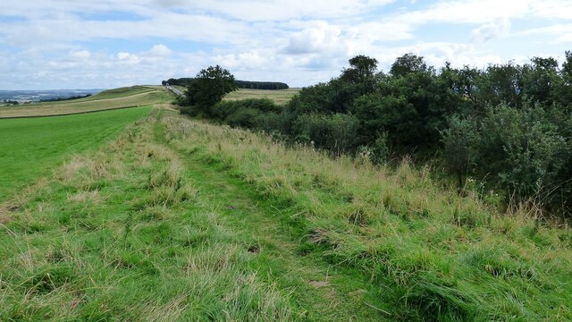
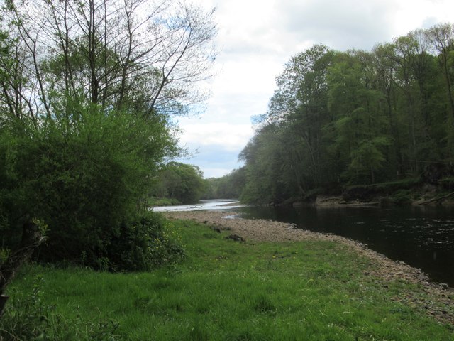
Hill House Wood is a picturesque woodland located in Northumberland, England. Spanning over an area of approximately 100 acres, it is a natural haven that offers visitors a tranquil escape from the hustle and bustle of everyday life. The wood is part of the wider Kielder Forest and is managed by the Forestry Commission.

As visitors step into Hill House Wood, they are greeted by a diverse range of flora and fauna. The wood is home to a variety of tree species, including oak, ash, birch, and beech, which create a dense canopy overhead. This provides a cool and shaded environment, perfect for leisurely walks and exploring.

The forest floor is adorned with a carpet of wildflowers during the spring and summer months, adding a burst of color to the landscape. Wildlife enthusiasts will also delight in the abundance of animal species that call Hill House Wood their home. Red squirrels can often be spotted darting between the trees, while birdwatchers may catch a glimpse of woodpeckers, thrushes, and owls.

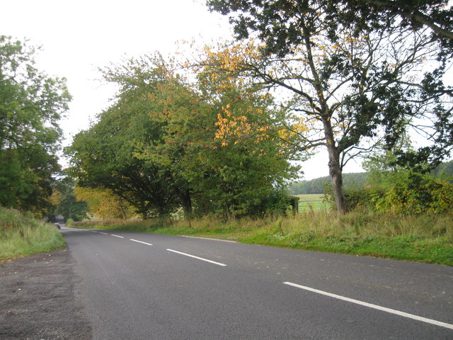
Hill House Wood offers a network of well-maintained trails and paths, making it accessible to visitors of all ages and abilities. Whether you are seeking a peaceful stroll or a more challenging hike, the wood caters to all preferences. Along the way, there are several viewpoints that offer stunning vistas of the surrounding countryside, including sweeping views of Kielder Water.

Overall, Hill House Wood is a hidden gem in Northumberland, offering a serene and immersive experience in nature. Whether you are a nature lover, an avid walker, or simply seeking some tranquility, this woodland is a must-visit destination.

If you have any feedback on the listing, please let us know in the comments section below.

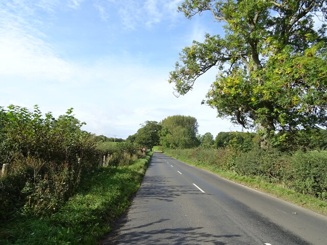
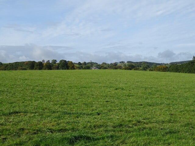
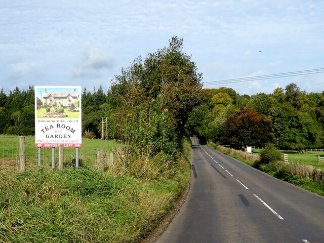
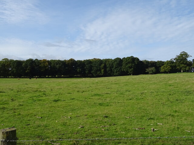
Hill House Wood Images

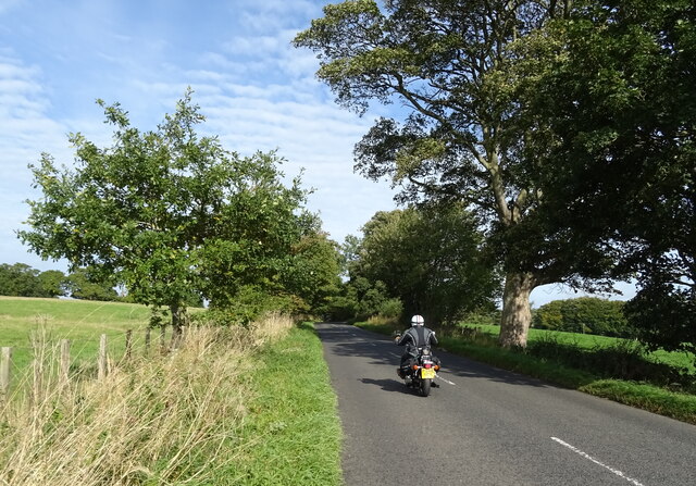
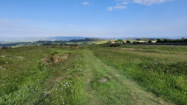
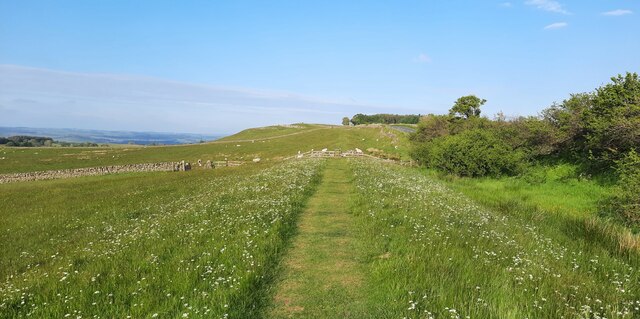
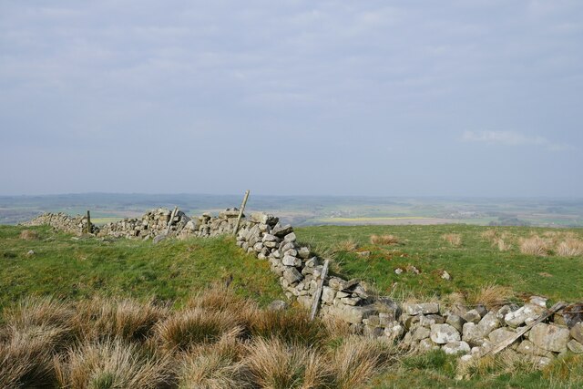
Images are sourced within 2km of 55.052649/-2.2061792 or Grid Reference NY8673. Thanks to Geograph Open Source API. All images are credited.

Hadrian's Wall ditch The wall itself lies under the road on the other side of the hedge.
Hadrian's Wall ditch
The wall itself lies under the road on the other side of the hedge.
Hadrian's Wall rock cut ditch The northern defensive ditch was cut through hard dolerite at this point.
Hadrian's Wall rock cut ditch
The northern defensive ditch was cut through hard dolerite at this point.
Milecastle 30 on Hadrian's Wall Hadrian's wall or 'Vallum Aelium' is the remains of a large Roman fortification. The wall extended west from Segedunum at Wallsend on the River Tyne to the shore of the Solway Firth, ending a short but unknown distance west of the village of Bowness-on-Solway. Construction probably started sometime in AD 122 and was largely completed within six years.

The remains were made a UNESCO World Heritage Site in 1987.
Milecastle 30 on Hadrian's Wall
Hadrian's wall or 'Vallum Aelium' is the remains of a large Roman fortification. The wall extended west from Segedunum at Wallsend on the River Tyne to the shore of the Solway Firth, ending a short but unknown distance west of the village of Bowness-on-Solway. Construction probably started sometime in AD 122 and was largely completed within six years. The remains were made a UNESCO World Heritage Site in 1987.
Grazing, Fairshaw Off the B6320.
Grazing, Fairshaw
Off the B6320.
B6320, Fairshaw Heading west towards Wark.
B6320, Fairshaw
Heading west towards Wark.
Grazing towards Simonburn
B6320 towards Wark
B6320 towards Wark
Grazing towards Hornslaw Wood West of the B6320.
Grazing towards Hornslaw Wood
West of the B6320.
Heading towards Wark Biker on the B6320.
Heading towards Wark
Biker on the B6320.
Hadrian's Wall Path just east of Limestone Corner
Hadrian's Wall Path between Milecastles 30 and 31
Someone else's wall, viewed from Hadrian's Wall A drystone wall viewed from the route of Hadrian's Wall, and crossing the northern defensive ditch.
Someone else's wall, viewed from Hadrian's Wall
A drystone wall viewed from the route of Hadrian's Wall, and crossing the northern defensive ditch.
Hadrian's Wall near Limestone Bank Captured in the early evening with a haar setting in over the surrounding countryside.  Gorse provides a vibrant splash of yellow from thickets growing in the defensive ditch.
Hadrian's Wall near Limestone Bank
Captured in the early evening with a haar setting in over the surrounding countryside. Gorse provides a vibrant splash of yellow from thickets growing in the defensive ditch.
Stanley Dalton memorial coping stone The inscription reads: “S.D. – September 11, 1926.” 

The remarkable story of the murder of Stanley Dalton can be found at <span class="nowrap"><a title="https://woolshed1.blogspot.com/2009/06/murder-of-stanley-dalton.html?fbclid=IwAR2n0QHGOoq-tcJppQNU0uN7UtqMxyhN4cUjRwDUcGyiIttgM00-RYZ4FZw" rel="nofollow ugc noopener" href="https://woolshed1.blogspot.com/2009/06/murder-of-stanley-dalton.html?fbclid=IwAR2n0QHGOoq-tcJppQNU0uN7UtqMxyhN4cUjRwDUcGyiIttgM00-RYZ4FZw">Link</a><img style="margin-left:2px;" alt="External link" title="External link - shift click to open in new window" src="https://s1.geograph.org.uk/img/external.png" width="10" height="10"/></span>

The stone is in a sloping drystone wall on the south side of the B6381 at Limestone Bank.
Stanley Dalton memorial coping stone
The inscription reads: “S.D. – September 11, 1926.” The remarkable story of the murder of Stanley Dalton can be found at LinkExternal link The stone is in a sloping drystone wall on the south side of the B6381 at Limestone Bank.
Ditch alongside Hadrians Wall Near Milecastle 30 the ditch has turned into a quarry
Ditch alongside Hadrians Wall
Near Milecastle 30 the ditch has turned into a quarry
River Erosion on The River North Tyne
River North Tyne
River North Tyne
B6320 southbound
B6320 southbound
Show me another place!

Hill House Wood is located at Grid Ref: NY8673 (Lat: 55.052649, Lng: -2.2061792)

Unitary Authority: Northumberland

Police Authority: Northumbria

What 3 Words

///stop.certainly.backs. Near Birtley, Northumberland

Related Wikis

Simonburn

Simonburn is a small human settlement in Northumberland, England. == Early history == Simonburn lies to the north of Hadrian's Wall, the most noted Roman...

Nunwick Hall

Nunwick Hall is a privately owned 18th-century country house near Simonburn, Northumberland in North East England. The estate has been the home of the...

Greenhaugh

Greenhaugh is a small village in Northumberland, England. It is located northwest of Bellingham and borders the Northumberland National Park. It is in...
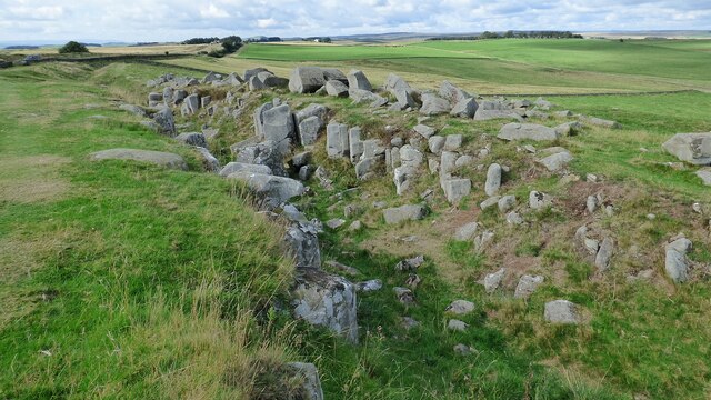
Milecastle 30

Milecastle 30 (Limestone Corner) was a milecastle of the Roman Hadrian's Wall. Its remains exist as an outward-facing scarp with a maximum height of 0...

Nearby Amenities

Located within 500m of 55.052649,-2.2061792
Barrier: cattle_grid
Lat/Long: 55.0554091/-2.2102061
The data included in this document is from www.openstreetmap.org. The data is made available under ODbL.

Have you been to Hill House Wood?

Leave your review of Hill House Wood below (or comments, questions and feedback).