France Oaks Coppice

Wood, Forest in Dorset

England

France Oaks Coppice

Old Bridge Marker beside the A357 on Durweston Bridge Bridge Marker set in the south parapet of Durweston Bridge below DO_TRADURbr. On the boundary of Durweston and Stourpaine parishes. Grade II* Listed details <span class="nowrap"><a title="https://historicengland.org.uk/listing/the-list/list-entry/1110240" rel="nofollow ugc noopener" href="https://historicengland.org.uk/listing/the-list/list-entry/1110240">Link</a><img style="margin-left:2px;" alt="External link" title="External link - shift click to open in new window" src="https://s1.geograph.org.uk/img/external.png" width="10" height="10"/></span>.

Milestone Society National ID: DO_DURSTO01br
Old Bridge Marker beside the A357 on Durweston Bridge Credit: M Faherty

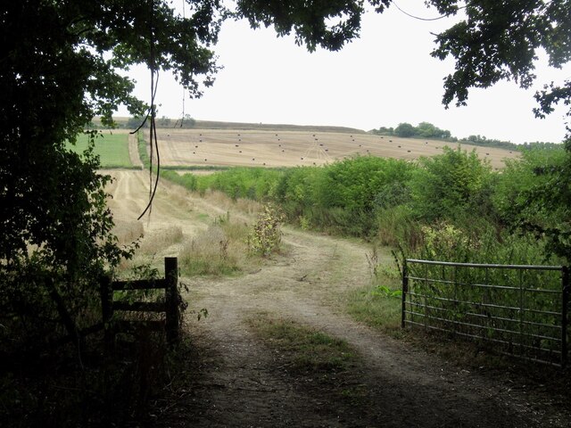
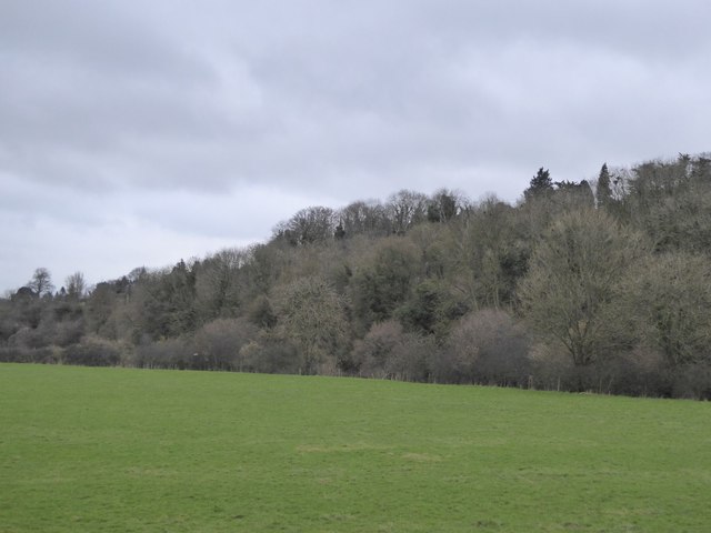
France Oaks Coppice is a picturesque woodland located in the county of Dorset, England. Covering an area of approximately 50 acres, this ancient coppice is renowned for its natural beauty and diverse range of flora and fauna.

The woodland is primarily composed of oak trees, with some beech and birch trees scattered throughout. The oaks, many of which are several centuries old, create a dense canopy that provides shade and shelter for a variety of wildlife. This includes numerous bird species such as woodpeckers, owls, and warblers, as well as small mammals like squirrels and badgers.

Walking through France Oaks Coppice, visitors can enjoy a peaceful and tranquil atmosphere. The forest floor is blanketed with a vibrant carpet of wildflowers and ferns, adding to the overall charm and appeal of the area. The dappled sunlight filtering through the leaves creates a magical ambiance, especially during the spring and summer months.

The coppice has a rich history, dating back centuries. It has been managed using traditional coppicing techniques, where trees are cut down and then allowed to regrow from the stumps. This sustainable practice has resulted in a diverse range of tree ages and sizes, further enhancing the biodiversity of the woodland.

France Oaks Coppice is a popular destination for nature enthusiasts, hikers, and photographers alike. Its accessibility and well-maintained footpaths make it an ideal location for a leisurely stroll or a more challenging hike. With its idyllic scenery and abundant wildlife, this woodland truly offers a captivating escape into nature.

If you have any feedback on the listing, please let us know in the comments section below.

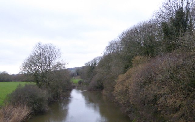
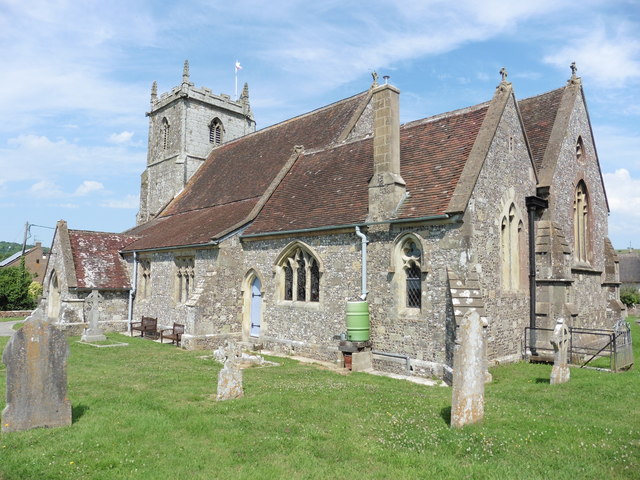
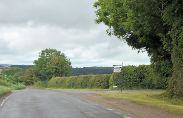
France Oaks Coppice Images

Images are sourced within 2km of 50.876655/-2.1872633 or Grid Reference ST8608. Thanks to Geograph Open Source API. All images are credited.

Old Bridge Marker beside the A357 on Durweston Bridge Bridge Marker set in the south parapet of Durweston Bridge below DO_TRADURbr. On the boundary of Durweston and Stourpaine parishes. Grade II* Listed details <span class="nowrap"><a title="https://historicengland.org.uk/listing/the-list/list-entry/1110240" rel="nofollow ugc noopener" href="https://historicengland.org.uk/listing/the-list/list-entry/1110240">Link</a><img style="margin-left:2px;" alt="External link" title="External link - shift click to open in new window" src="https://s1.geograph.org.uk/img/external.png" width="10" height="10"/></span>.

Milestone Society National ID: DO_DURSTO01br
Old Bridge Marker beside the A357 on Durweston Bridge
Bridge Marker set in the south parapet of Durweston Bridge below DO_TRADURbr. On the boundary of Durweston and Stourpaine parishes. Grade II* Listed details LinkExternal link. Milestone Society National ID: DO_DURSTO01br
What's good for the Syndicate.... M & M Stoves, Stourpaine.
What's good for the Syndicate....
M & M Stoves, Stourpaine.
The White Horse, Stourpaine Also the village shop.
The White Horse, Stourpaine
Also the village shop.
The White Horse, Stourpaine
Sculpture, The White Horse Outside tables at The White Horse, Stourpaine.
Sculpture, The White Horse
Outside tables at The White Horse, Stourpaine.
Crossroads, Stourpaine Crossing Manor Road.
Crossroads, Stourpaine
Crossing Manor Road.
South Holme, Stourpaine
Havelins, Stourpaine Rose Cottage.
Havelins, Stourpaine
Rose Cottage.
Fields, Stourpaine View from the rails to trails path.
Fields, Stourpaine
View from the rails to trails path.
Turning for Sturminster Newton
Lay-by on the A357 north of Durweston A lay-by that resulted from road realignment; the village sign for Durweston is on the left
Lay-by on the A357 north of Durweston
A lay-by that resulted from road realignment; the village sign for Durweston is on the left
Daffodils by the A357 on south of Durweston
Grassland and woodland by Durweston Bridge Grassland (this side) and woodland (beyond) on the banks of the River Stour
Grassland and woodland by Durweston Bridge
Grassland (this side) and woodland (beyond) on the banks of the River Stour
River Stour from Durweston Bridge
Stourpaine, Holy Trinity
Entrance to Downend Farm from Bushes Road
A357 entering Durweston
Half mile to layby A357 in Durweston
Half mile to layby
A357 in Durweston
Show me another place!

France Oaks Coppice is located at Grid Ref: ST8608 (Lat: 50.876655, Lng: -2.1872633)

Unitary Authority: Dorset

Police Authority: Dorset

What 3 Words

///overruns.warmers.mimics. Near Blandford Forum, Dorset

Nearby Locations

France Oaks Coppice

Related Wikis

Stourpaine and Durweston railway station

Stourpaine & Durweston Halt was a railway station in the English county of Dorset. It was located between Shillingstone and Blandford Forum on the Somerset...
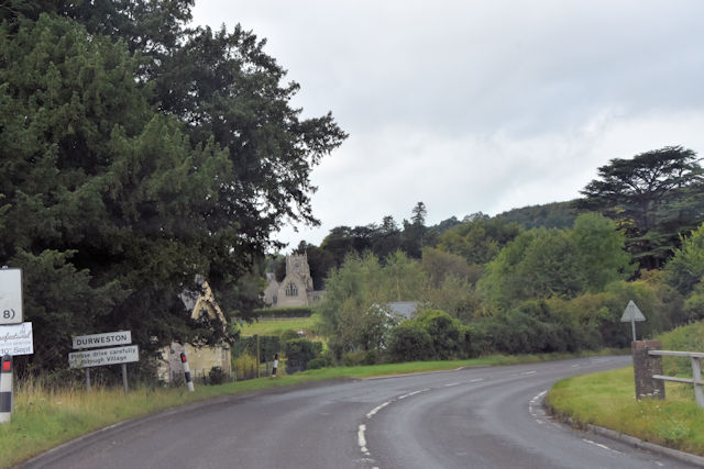
Durweston

Durweston ( dər-WES-tən) is a village and civil parish in the English county of Dorset. It lies two miles (three kilometres) northwest of the town of Blandford...
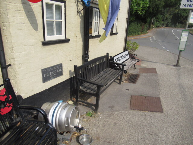
Stourpaine

Stourpaine () is a village and civil parish in the ceremonial county of Dorset in southern England. It is situated in the valley of the River Stour in...

The Coade Hall

The Coade Hall is a brick-built theatre and concert hall at Bryanston School, near Blandford Forum in Dorset, England. == History == It was opened on...

Bryanston School

Bryanston School is a public school (English private boarding and day school for pupils aged 13–18) located next to the village of Bryanston, and near...

Ash (near Stourpaine)

Ash is a hamlet approximately 0.5 miles (1 km) north of the village of Stourpaine, Dorset, England.Ash was listed in the Domesday Book of 1086. == References... ==

Bryanston

Bryanston is a village and civil parish in north Dorset, England, situated on the River Stour 1 mile (1.5 kilometres) west of Blandford Forum. In the...

The Blandford School

The Blandford School is a coeducational secondary school located in Blandford Forum in the English county of Dorset.It is a voluntary controlled school...

Nearby Amenities

Located within 500m of 50.876655,-2.1872633
Addr City: Blandford Forum
Addr Housename: France Oaks Cottage
Addr Postcode: DT11 0QL
Building: residential
Building Levels: 2
Lat/Long: 50.8749975/-2.1868942
Power: pole
Source: bing
Lat/Long: 50.8725903/-2.1900988
Power: pole
Source: bing
Lat/Long: 50.8731396/-2.1909437
Power: pole
Source: bing
Lat/Long: 50.8738708/-2.1909611
Power: pole
Source: bing
Lat/Long: 50.8735204/-2.1908686
Power: pole
Source: bing
Lat/Long: 50.8728316/-2.1905158
Power: pole
Source: bing
Transformer: distribution
Lat/Long: 50.872873/-2.1887831
Power: pole
Source: bing
Lat/Long: 50.8726471/-2.1876848
Power: pole
Source: bing
Lat/Long: 50.8724787/-2.1865368
The data included in this document is from www.openstreetmap.org. The data is made available under ODbL.

Have you been to France Oaks Coppice?

Leave your review of France Oaks Coppice below (or comments, questions and feedback).