Barton Covert

Wood, Forest in Staffordshire Stafford

England

Barton Covert

Track and footpath Track and public right of way off Bigwood Lane
Track and footpath Credit: P Gaskell

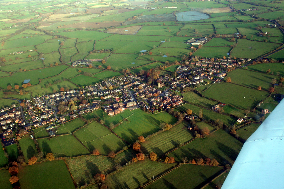
Barton Covert is a quaint village located in the county of Staffordshire, England. Nestled amidst lush woodlands and dense forests, it offers a picturesque and serene setting for its residents and visitors alike. The village is situated in close proximity to the larger town of Barton-under-Needwood, which provides easy access to various amenities and services.

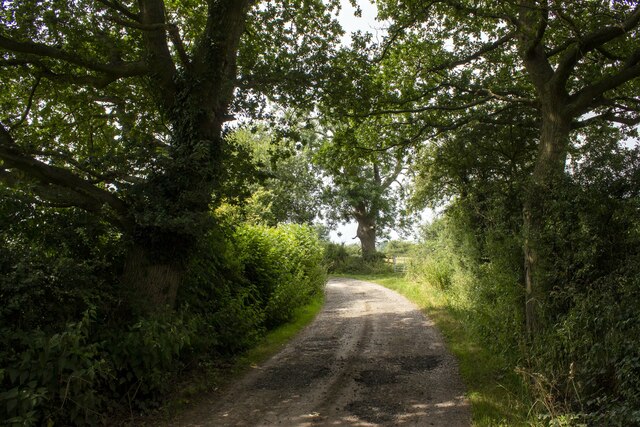
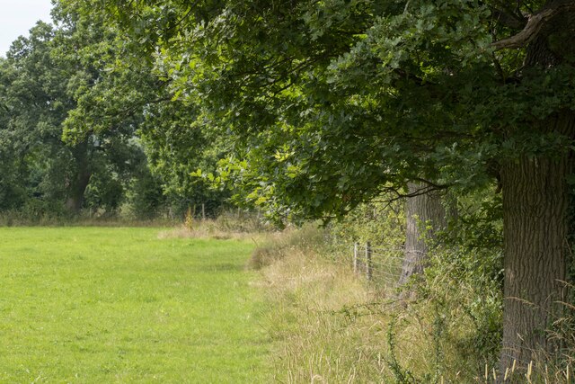
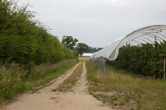
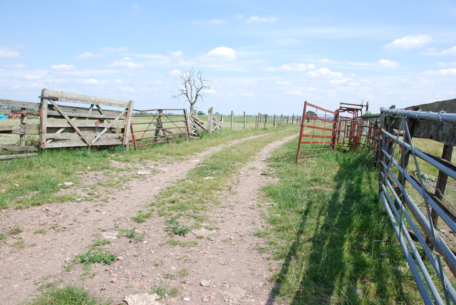
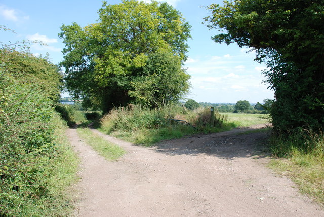
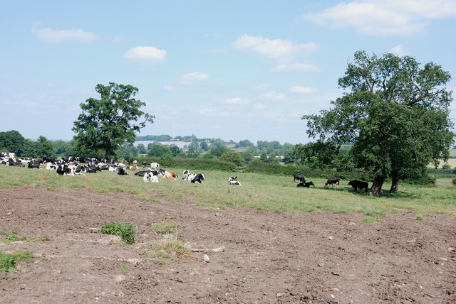
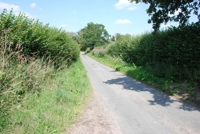
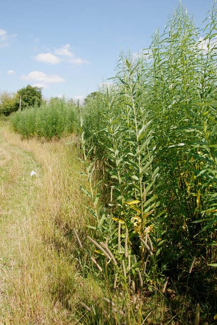
The woodlands surrounding Barton Covert are known for their natural beauty, with towering trees and a diverse range of flora and fauna. The area is popular among nature enthusiasts, who can enjoy long walks, hiking trails, and birdwatching opportunities. The peaceful atmosphere and tranquility of the woods make it an ideal spot for relaxation and rejuvenation.

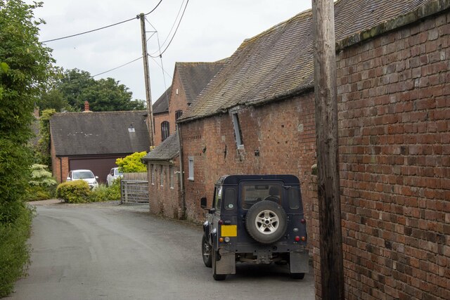
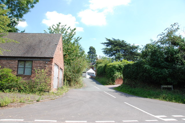
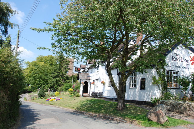
Despite its small size, Barton Covert boasts a strong sense of community, with friendly locals who take pride in their village. The village is home to a handful of charming cottages and houses, adding to its rustic charm. The community often organizes events and activities to bring people together, fostering a close-knit and supportive environment.

For those seeking a break from the peaceful countryside, Barton Covert offers easy access to nearby attractions. The famous National Memorial Arboretum is just a short drive away, providing a reflective and serene space to remember and honor the fallen. Additionally, the bustling town of Burton-upon-Trent is within reach, offering a range of shops, restaurants, and cultural experiences.

In summary, Barton Covert, Staffordshire, is a hidden gem surrounded by woodlands and forests, providing a tranquil and idyllic setting for residents and visitors to enjoy.

If you have any feedback on the listing, please let us know in the comments section below.

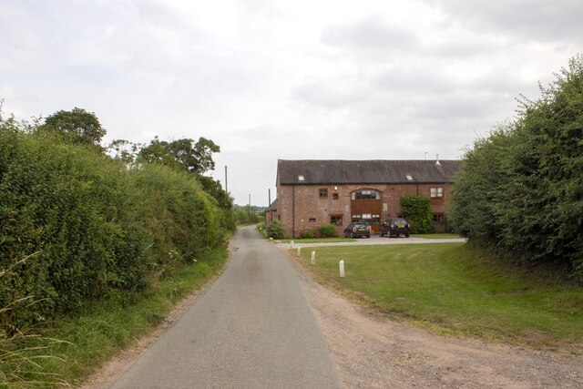
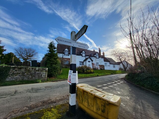
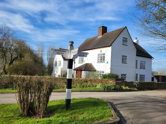
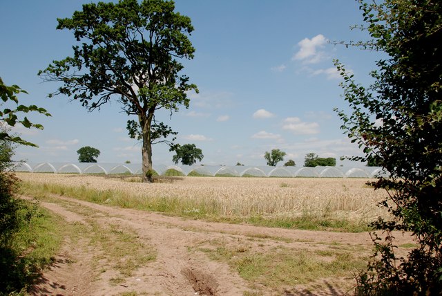
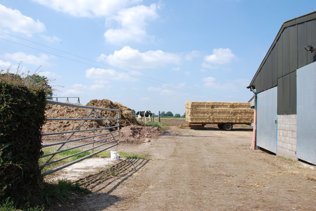
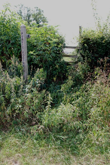
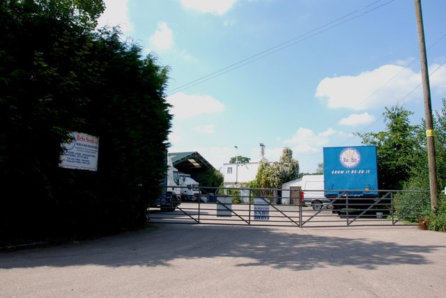
Barton Covert Images

Images are sourced within 2km of 52.757126/-2.1953396 or Grid Reference SJ8617. Thanks to Geograph Open Source API. All images are credited.

Track and footpath Track and public right of way off Bigwood Lane
Track and footpath
Track and public right of way off Bigwood Lane
Wells Farm
Wells Farm
Hedgerow and field Hedgerow and field on Shredicote Lane
Hedgerow and field
Hedgerow and field on Shredicote Lane
Hedgerow and polytunnel Hedgerow and polytunnel on Mitton Road
Hedgerow and polytunnel
Hedgerow and polytunnel on Mitton Road
Woolaston Farm
Woolaston Farm
Direction Sign – Signpost on Barton Lane, Bradley Located in the centre of the junction of Barton Lane and Almshouse Croft in Bradley parish. 3 arms and pyramid top. 

Milestone Society National ID: ST_SJ8718
Direction Sign – Signpost on Barton Lane, Bradley
Located in the centre of the junction of Barton Lane and Almshouse Croft in Bradley parish. 3 arms and pyramid top. Milestone Society National ID: ST_SJ8718
Direction Sign – Signpost on Chapel Lane in Bradley Located on the north side of the Y junction of Chapel Lane and Almshouse Croft in Bradley parish. 3 arms and ball finial. 

Milestone Society National ID: ST_SJ8717
Direction Sign – Signpost on Chapel Lane in Bradley
Located on the north side of the Y junction of Chapel Lane and Almshouse Croft in Bradley parish. 3 arms and ball finial. Milestone Society National ID: ST_SJ8717
Looking over Wheat Field to More Pollytunnels
Holding area with Cattle Crush
Forge Rise, Bradley
Forge Rise, Bradley
The Red Lion Inn, Bradley This looks a really special Inn from the outside, with the church in the background. Didn't have time to go in, so have put a link to Express & Star review.

<span class="nowrap"><a title="http://www.expressandstar.com/lifestyle/food/2010/10/25/meal-review-of-the-red-lion-bradley-stafford-st18-2dz/" rel="nofollow ugc noopener" href="http://www.expressandstar.com/lifestyle/food/2010/10/25/meal-review-of-the-red-lion-bradley-stafford-st18-2dz/">Link</a><img style="margin-left:2px;" alt="External link" title="External link - shift click to open in new window" src="https://s1.geograph.org.uk/img/external.png" width="10" height="10"/></span>
The Red Lion Inn, Bradley
This looks a really special Inn from the outside, with the church in the background. Didn't have time to go in, so have put a link to Express & Star review. LinkExternal link
Farmtrack & Field, Bradley
Straw, Cows and Dung. The Complete Cycle The new straw is used for bedding for the cattle, soiled straw is taken out as dung, the dung is put on the land to feed the next crops, and so the years roll by.
Straw, Cows and Dung. The Complete Cycle
The new straw is used for bedding for the cattle, soiled straw is taken out as dung, the dung is put on the land to feed the next crops, and so the years roll by.
Footpath, Upper Haughton House It doesn't look as if this stile has much use.
Footpath, Upper Haughton House
It doesn't look as if this stile has much use.
Field of Cows, Upper Haughton House Farm
ReSo Seeds Ltd If a farmer wants to use the seed that was harvested on his farm, instead of buying new seed, this company takes a special lorry to the farm, which will clean the seed and put any dressing on that is needed.
ReSo Seeds Ltd
If a farmer wants to use the seed that was harvested on his farm, instead of buying new seed, this company takes a special lorry to the farm, which will clean the seed and put any dressing on that is needed.
Alstone Lane, near Haughton This is quite a narrow lane, fortunately I picked better weather than John M.
Alstone Lane, near Haughton
This is quite a narrow lane, fortunately I picked better weather than John M.
Willow Shoots growing in Rows In this area there is considerable acreage of Willow plantations. The willow has been planted and allowed to grow, then cut off and loads of shoots have struck from the stumps, as can be seen. I wonder if they are used for basket making and craft work. Another example of a Farmer looking for more profitable crops, this area is quite wet so should suit the Willow.
Willow Shoots growing in Rows
In this area there is considerable acreage of Willow plantations. The willow has been planted and allowed to grow, then cut off and loads of shoots have struck from the stumps, as can be seen. I wonder if they are used for basket making and craft work. Another example of a Farmer looking for more profitable crops, this area is quite wet so should suit the Willow.
Show me another place!

Barton Covert is located at Grid Ref: SJ8617 (Lat: 52.757126, Lng: -2.1953396)

Administrative County: Staffordshire

District: Stafford

Police Authority: Staffordshire

What 3 Words

///loud.herds.tidal. Near Gnosall, Staffordshire

Related Wikis

Bradley, Staffordshire

Bradley is a village and civil parish in Staffordshire, England. The population of the civil parish at the 2011 census was 513. It is located close to...

Allimore Green

Allimore Green is a small hamlet in Staffordshire, England, 1 mile north-east of Church Eaton. It is the location of a Site of Special Scientific Interest...

Church Eaton

Church Eaton is a village and civil parish in Staffordshire some 6 miles (10 km) southwest of Stafford, 6 miles (10 km) northwest of Penkridge and 4 miles...

Apeton

Apeton is a hamlet in Staffordshire in the West Midlands region of England. It is located 5+1⁄2 miles (8.9 km) southwest of Stafford, in the civil parish...

Brazenhill

Brazenhill is rural area immediately north of the village of Haughton in Staffordshire, England. It is effectively defined by Brazenhill Lane which is...

Haughton, Staffordshire

Haughton is a village in Staffordshire, England, approximately 4 miles outside and to the west of the county town of Stafford. It lies on the A518 between...

Woollaston

Woollaston is a small hamlet near Bradley, Staffordshire, England, four miles northwest of Penkridge and two miles southeast of Church Eaton. It lies in...

Levedale

Levedale is a small somewhat elongated English village situated some 4 miles southwest of Stafford, 2 miles northwest of Penkridge and a mile west of Dunston...

Nearby Amenities

Located within 500m of 52.757126,-2.1953396
The data included in this document is from www.openstreetmap.org. The data is made available under ODbL.

Have you been to Barton Covert?

Leave your review of Barton Covert below (or comments, questions and feedback).