Shaw Stones
Wood, Forest in Yorkshire Richmondshire
England
Shaw Stones
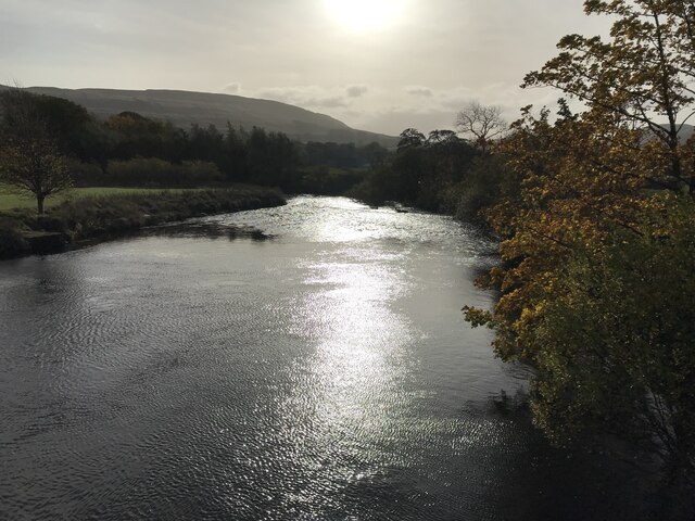
Shaw Stones is a small woodland area located in Yorkshire, England. Nestled within the picturesque countryside, it is a popular destination for nature lovers and outdoor enthusiasts. The woodland is characterized by its dense collection of trees, predominantly consisting of oak, beech, and birch.
Covering an area of approximately 50 hectares, Shaw Stones offers a tranquil escape from the hustle and bustle of everyday life. The woodland is crisscrossed with well-maintained trails, allowing visitors to explore its natural beauty on foot or by bike. These paths wind their way through the trees, leading to open clearings and secluded spots where one can appreciate the peacefulness of the surroundings.
Shaw Stones is home to a diverse range of wildlife, making it a haven for nature enthusiasts. Birdwatchers can spot a variety of species, including woodpeckers, owls, and thrushes. Small mammals such as squirrels and rabbits can also be observed scurrying amongst the undergrowth.
The woodland is particularly enchanting during the spring months when vibrant wildflowers carpet the forest floor, creating a stunning display of colors. Autumn is also a popular time to visit, as the leaves on the trees transform into a kaleidoscope of reds, oranges, and yellows.
Shaw Stones is easily accessible, with ample parking facilities and nearby amenities. Whether one seeks a peaceful walk, a family picnic, or simply a connection with nature, this woodland provides a serene retreat in the heart of Yorkshire's countryside.
If you have any feedback on the listing, please let us know in the comments section below.
Shaw Stones Images
Images are sourced within 2km of 54.292222/-2.2025882 or Grid Reference SD8688. Thanks to Geograph Open Source API. All images are credited.
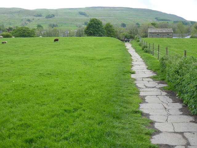


![A walk from Hawes to Aysgill Force and back [1] Leaving Market Place, the walk passes through the churchyard of St Margarets.
Starting from the village of Hawes, the walk follows Gayle Beck through the village of Gayle to the spectacular waterfall of Aysgill Force. Then the walk continues to follow the beck upstream to Sleddale Pasture before returning to Gayle via a track on the lower slopes of Swinesett Hill. From Gayle the walk returns to Hawes via Gayle Lane. About 3¾ miles.](https://s1.geograph.org.uk/geophotos/07/00/58/7005873_8ec87c8c.jpg)
![A walk from Hawes to Aysgill Force and back [2] After leaving the churchyard the route follows this path. The path is part of the long distance Pennine Way.
Starting from the village of Hawes, the walk follows Gayle Beck through the village of Gayle to the spectacular waterfall of Aysgill Force. Then the walk continues to follow the beck upstream to Sleddale Pasture before returning to Gayle via a track on the lower slopes of Swinesett Hill. From Gayle the walk returns to Hawes via Gayle Lane. About 3¾ miles.](https://s2.geograph.org.uk/geophotos/07/00/58/7005874_d1aaede0.jpg)
Shaw Stones is located at Grid Ref: SD8688 (Lat: 54.292222, Lng: -2.2025882)
Division: North Riding
Administrative County: North Yorkshire
District: Richmondshire
Police Authority: North Yorkshire
What 3 Words
///skimmers.invent.rollers. Near Sedbergh, Cumbria
Nearby Locations
Related Wikis
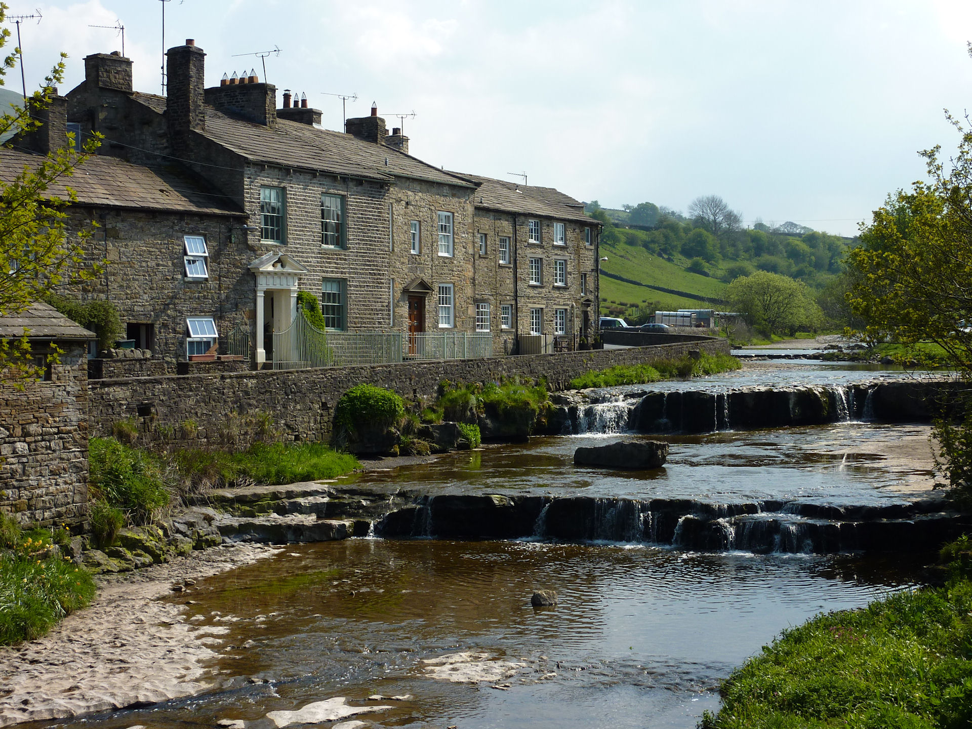
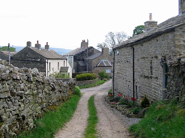
Gayle, North Yorkshire
Gayle is a hamlet 0.4-mile (0.64 km) south of Hawes in Wensleydale, North Yorkshire, England. It is noted for the beck that flows through it and the old...

Gayle Mill, North Yorkshire
Gayle Mill, dating from about 1784, is thought to be the oldest structurally unaltered cotton mill in existence. It is located in the Wensleydale hamlet...

St Margaret's Church, Hawes
St Margaret's Church is a Grade II listed parish church in the Church of England: 184 in Hawes, North Yorkshire. == History == Also known as Church of...

Hawes
Hawes is a market town and civil parish in North Yorkshire, England, at the head of Wensleydale in the Yorkshire Dales, and historically in the North Riding...
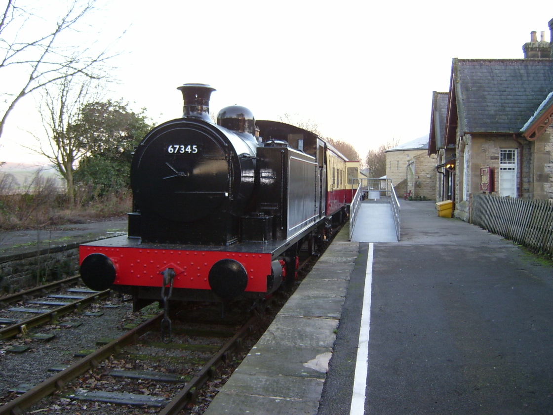
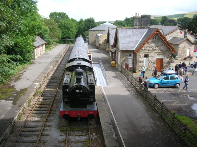
Hawes railway station
Hawes railway station is a disused railway station that served the town of Hawes in North Yorkshire, England. It was closed in 1959 and now forms part...
Dales Countryside Museum
The Dales Countryside Museum is a local museum for the Yorkshire Dales National Park in Northern England. Run by the National Park Authority, it tells...

Wether Fell
Wether Fell (archaically Wetherfell), also known as Drumaldrace (the name of its summit), is a mountain in the Yorkshire Dales National Park, in North...
Burtersett
Burtersett is a small village in the Yorkshire Dales, North Yorkshire, England. It lies approximately 1 mile (1.6 km) east from Hawes and Gayle. The village...
Nearby Amenities
Located within 500m of 54.292222,-2.2025882Have you been to Shaw Stones?
Leave your review of Shaw Stones below (or comments, questions and feedback).