Barn Spinney
Wood, Forest in Gloucestershire Cotswold
England
Barn Spinney
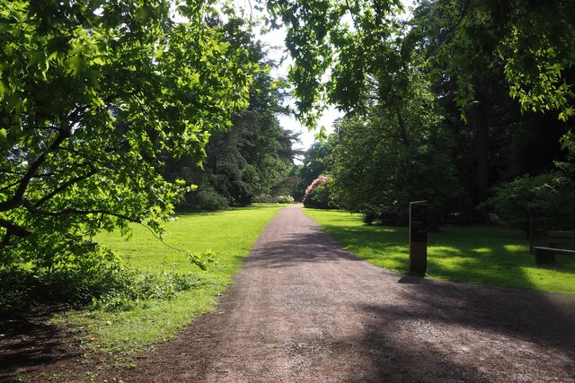
Barn Spinney is a charming woodland located in Gloucestershire, England. Situated in the heart of the Forest of Dean, it offers visitors a peaceful retreat amidst nature's beauty. Covered in a dense canopy of trees, it is a haven for wildlife and a popular destination for nature enthusiasts.
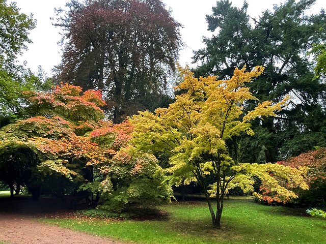
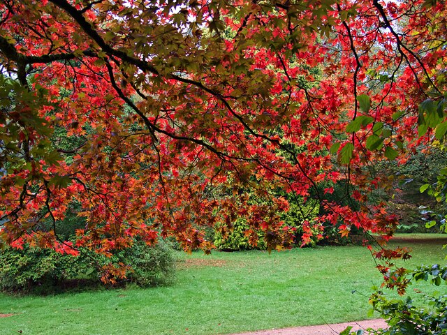
The woodland is home to a variety of tree species, including oak, beech, and birch, creating a diverse and vibrant ecosystem. The forest floor is blanketed with a lush carpet of ferns, bluebells, and wildflowers, adding to its enchanting atmosphere. The tall trees provide ample shade and a cool respite during the summer months.
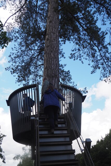
Traversing through Barn Spinney, visitors can enjoy a network of well-maintained trails, perfect for walking, hiking, or cycling. These trails wind their way through the woodland, offering glimpses of wildlife such as deer, foxes, and a wide array of bird species. Birdwatchers will particularly appreciate the opportunity to spot rare and migratory birds in this tranquil setting.
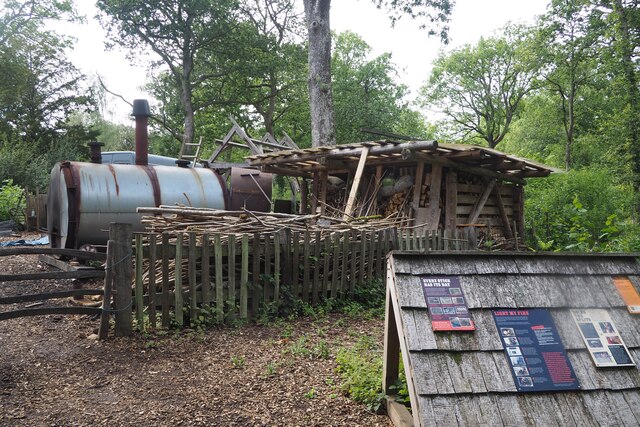
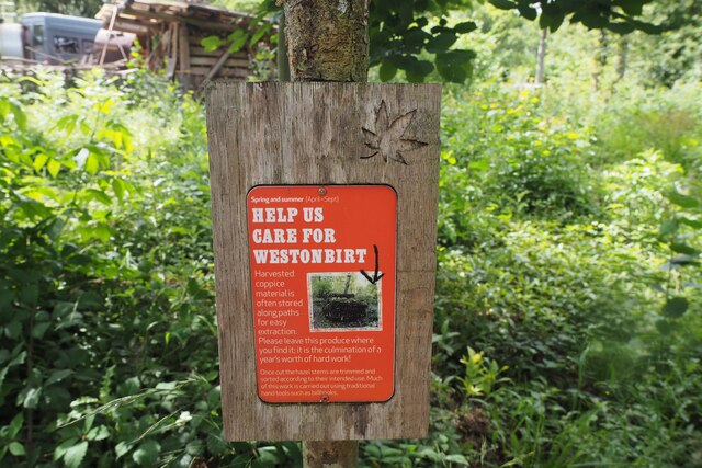
As part of the Forest of Dean, Barn Spinney is also rich in cultural heritage. The area has a long history of forestry and timber production, which is evident in the remnants of old sawmills and charcoal hearths scattered throughout the woodland. These historical artifacts provide a glimpse into the area's past and add to its rustic charm.
Barn Spinney offers a perfect blend of natural beauty, recreational activities, and cultural significance. Whether exploring the woodland trails, observing wildlife, or simply enjoying the peace and tranquility, visitors to Barn Spinney are guaranteed a memorable experience in the heart of Gloucestershire's woodlands.
If you have any feedback on the listing, please let us know in the comments section below.
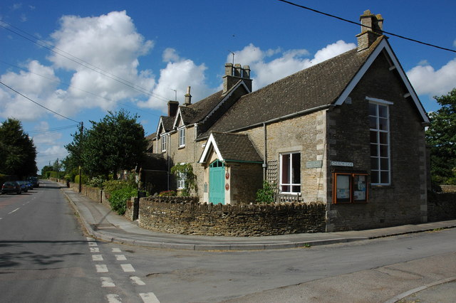
Barn Spinney Images
Images are sourced within 2km of 51.599615/-2.1904279 or Grid Reference ST8688. Thanks to Geograph Open Source API. All images are credited.


Barn Spinney is located at Grid Ref: ST8688 (Lat: 51.599615, Lng: -2.1904279)
Administrative County: Gloucestershire
District: Cotswold
Police Authority: Gloucestershire
What 3 Words
///cookie.twitching.month. Near Sherston, Wiltshire
Nearby Locations
Related Wikis
Westonbirt School
Westonbirt School is a co-educational independent day and boarding school for boys and girls aged 11 to 18 located near Tetbury in Gloucestershire in South...

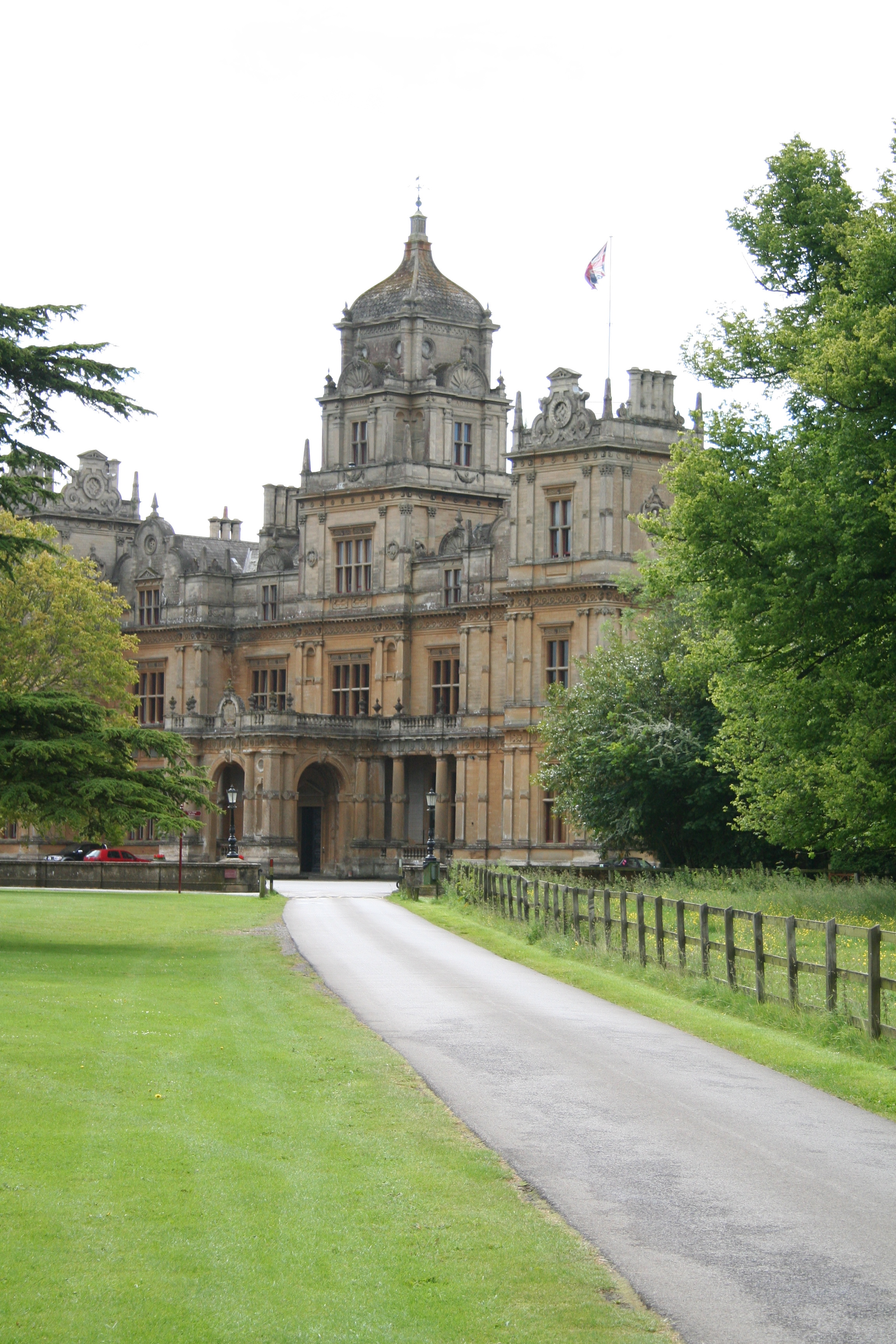
Westonbirt House
Westonbirt House is a country house in Gloucestershire, England, about 3 miles (5 km) southwest of the town of Tetbury. It belonged to the Holford family...

Easton Grey
Easton Grey is a small village and civil parish in north Wiltshire, England, on the county boundary with Gloucestershire. The village lies just south of...
Shipton Moyne
Shipton Moyne is a village and civil parish in the Cotswold district of Gloucestershire, England, approximately 105 miles west of London. Its nearest towns...

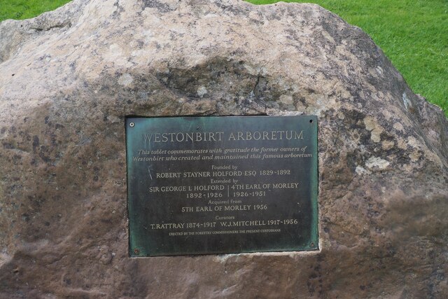
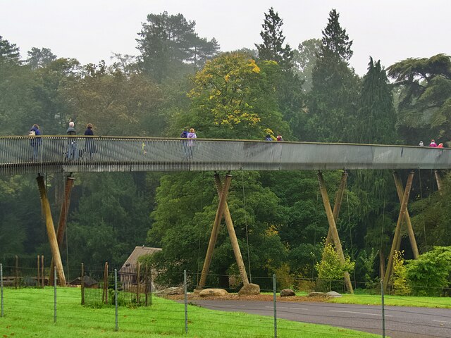
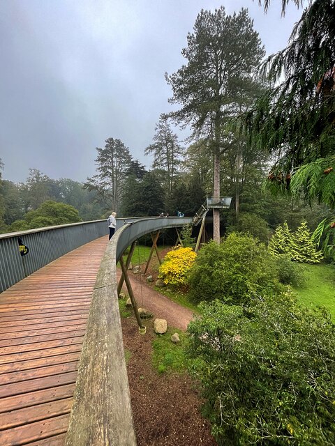
Westonbirt Arboretum
Westonbirt, The National Arboretum is an arboretum in Gloucestershire, England, about 3 miles (5 km) southwest of the town of Tetbury. Managed by Forestry...

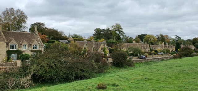
Westonbirt
Westonbirt is a village in the civil parish of Westonbirt with Lasborough, in the district of Cotswold, in the county of Gloucestershire, England. ��2...
Doughton Manor
Doughton Manor is a country house in Doughton, in the civil parish of Tetbury Upton, in the Cotswold district of Gloucestershire, England. It is recorded...

Highgrove House
Highgrove House is the family residence of King Charles III and Queen Camilla. It lies southwest of Tetbury in Gloucestershire, England. Built in the late...
Nearby Amenities
Located within 500m of 51.599615,-2.1904279Have you been to Barn Spinney?
Leave your review of Barn Spinney below (or comments, questions and feedback).