Featherston's Plantation
Wood, Forest in Durham
England
Featherston's Plantation

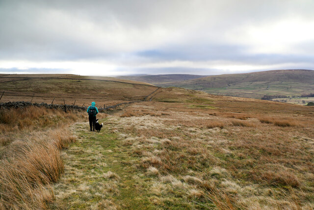
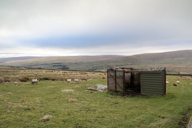
Featherston's Plantation is a historical landmark located in Durham, England. Situated in the woodlands of Durham Forest, this plantation is renowned for its natural beauty and rich history. Covering a vast area of land, the plantation is home to a diverse range of plant and animal species, making it a popular destination for nature enthusiasts and wildlife lovers.
The plantation was established in the late 18th century by the Featherston family, who were prominent landowners in the region. Initially used for agricultural purposes, the plantation later evolved into a thriving timber industry, providing a steady supply of wood for construction and furniture-making.
Today, Featherston's Plantation is open to the public, offering visitors the opportunity to explore its picturesque trails and immerse themselves in the tranquil ambiance of the surrounding forest. The plantation boasts an extensive network of footpaths, enabling hikers and walkers to enjoy the breathtaking scenery while discovering the plantation's abundant flora and fauna.
The plantation also serves as a habitat for a variety of wildlife, including deer, foxes, and numerous bird species. Birdwatchers often flock to Featherston's Plantation to catch a glimpse of rare species such as the red kite and tawny owl.
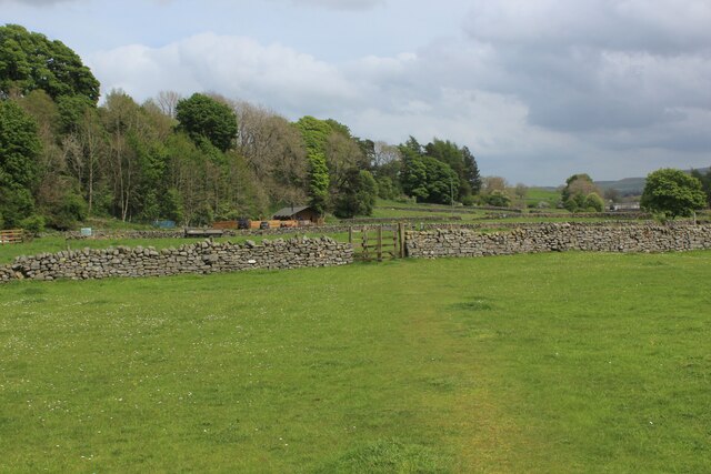
In addition to its natural beauty, Featherston's Plantation has historical significance. The site features remnants of the original plantation house, providing visitors with a glimpse into the past and a chance to learn about the region's agricultural and industrial heritage.
Overall, Featherston's Plantation in Durham is a captivating destination that offers a harmonious blend of natural wonders and historical charm, making it a must-visit location for anyone seeking tranquility and a deeper understanding of the region's past.
If you have any feedback on the listing, please let us know in the comments section below.
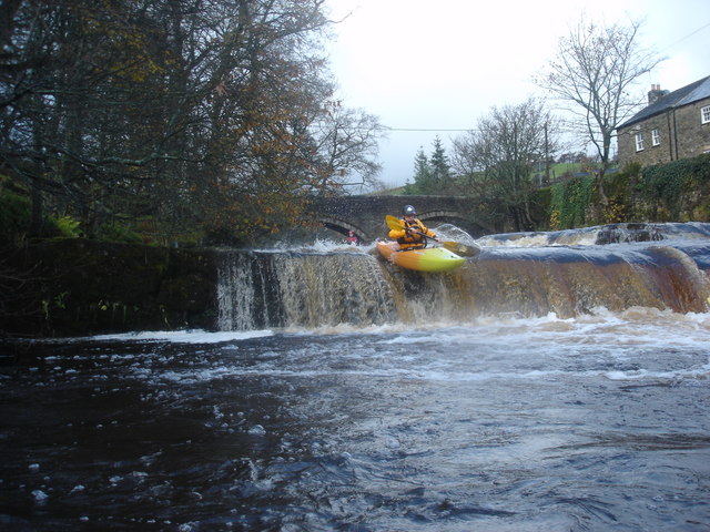
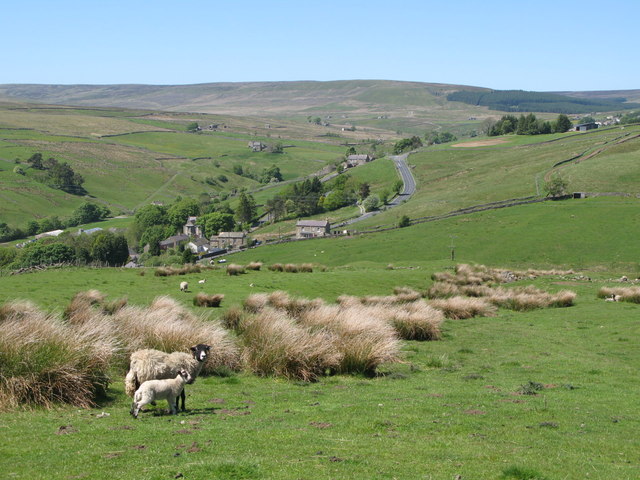
Featherston's Plantation Images
Images are sourced within 2km of 54.752185/-2.2049585 or Grid Reference NY8639. Thanks to Geograph Open Source API. All images are credited.


Featherston's Plantation is located at Grid Ref: NY8639 (Lat: 54.752185, Lng: -2.2049585)
Unitary Authority: County Durham
Police Authority: Durham
What 3 Words
///exits.screeches.lobster. Near Stanhope, Co. Durham
Nearby Locations
Related Wikis
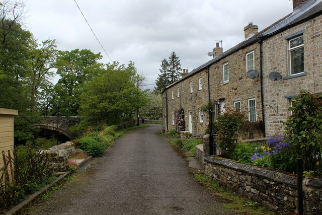
West Blackdene
West Blackdene is a village in the civil parish of Stanhope, in County Durham, England. It is situated to the north of the River Wear, opposite Ireshopeburn...

Wearhead railway station
Wearhead railway station served the village of Wearhead, County Durham, England, from 1895 to 1961 on the Weardale Railway. == History == The station opened...

Ireshopeburn
Ireshopeburn ( EYE-sup-burn ) is a village in the civil parish of Stanhope, in County Durham, England. It is situated on the south side of Weardale, between...

Wearhead
Wearhead is a village in the civil parish of Stanhope, in County Durham, England. It is situated at the top of Weardale between Cowshill and Ireshopeburn...

New House, County Durham
New House or Newhouse is a hamlet in the civil parish of Stanhope, in County Durham, England. It lies on the north side of the River Wear, opposite Ireshopeburn...

Cowshill
Cowshill is a village in the civil parish of Stanhope, in County Durham, England. It is situated at the top of Weardale, between Lanehead and Wearhead...
Copthill
Copthill is a village in the civil parish of Stanhope, in County Durham, England. It is situated on the north side of Weardale, between Cowshill and Cornriggs...

East Blackdene
East Blackdene is a hamlet in the civil parish of Stanhope, in County Durham, England. It is situated to the north of the River Wear, on the opposite side...
Nearby Amenities
Located within 500m of 54.752185,-2.2049585Have you been to Featherston's Plantation?
Leave your review of Featherston's Plantation below (or comments, questions and feedback).